Travelling Worm

A bookworm's travelogue

Category: book review

  • Dixons Long Point Crossing 4WD

    This is the blog of Mark Wordsworm, the travelling worm. I’m a 40-year-old bookmark (give or take a few years) and I proudly boast my own Hallmark serial number, 95 HBM 80-1. You’ll probably want to read all about me and my Travelling Companion (the TC).

    Today’s travel notes

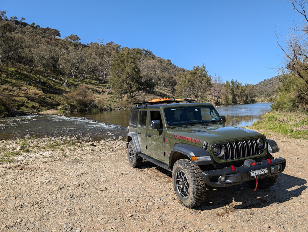
    Me, the TC, and Beetle the Jeep spent a night in the historic town of Hill End, New South Wales. Early the next morning, we set out to cross the Macquarie River at the well-known Dixons Long Point Crossing.

    The book I’m in

    Meru, by S.B. Divya. Excellent SciFi about a human and an alloy who fall in love, and about an experiment with human life on planet Meru. Alloys are post-human beings who share human and AI genes.

    Travel tips

    You’ll need a 4WD vehicle to complete this trip, because of the river crossing. It’s also good to be aware that the Macquarie River is a large river that can carry a significant volume of water after rain. It can be deep and the current can be strong enough to wash away cars and caravans. Always check the conditions before attempting the crossing.

    The photos

    Me at Dixons Long Point Crossing:
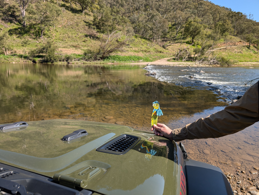
    It’s a trifle tricky to decide which line to take when crossing the river. We were driving from the Hill End side to the Bathurst side. The TC had watched several videos of other people making the crossing. The consensus of opinion seems to be that you should cross on the rougher side of the rocks, not the smooth side. Basically, follow the line between the two rows of rocks. That’s what we did. It was bumpy but fun, and the river level was low at the time we made the crossing.

    On the other side, the TC, bless her cotton socks, struck up a conversation with a man who looked as if he knew the area. He said that originally, the intended line was on the smooth side of the rocks, where a causeway had been built. But then a flood moved most of the rocks down off the causeway, which resulted in a deep hole at one end. The hole is about the length of many vehicles’ wheelbase, so you can get stuck, especially if the vehicle doesn’t have much clearance. The rougher line is now the recommended route, although it’s basically bedrock.

    Let’s back up, now that you’ve seen the crossing, and start at the beginning of the day’s trip…

    A night in Hill End

    Before starting the drive to Dixons Long Point, we spent the night at Hill End Lodge:

    The photo shows the reception area and restaurant of the lodge. We stayed in one of the cabins nearby. Early the next morning, the TC went for a stroll and came across a group of kangaroos. Most of them fled, but a big male stayed to keep watch, along with couple of others, one of which was a female with a joey in her pouch:

    The TC, wise soul, decided that discretion is the better part of valour, and altered direction to keep away from the roos.

    After breakfast, we paid a quick visit to the town of Hill end:

    The Royal Hotel is another good option for an overnight stay in the town:

    Golden Gully

    We headed north up Hill End Road towards Ullamulla Road, and came across the enchanting Golden Gully:

    Holes small and large pepper the eroded walls of the canyon. Many of them lead to shafts and tunnels dug by hopeful gold miners in the 1850s. The gold in this area is alluvial, washed down in several creeks that feed into the gully.

    You can walk down the gully to the point where a sign warns of danger:

    Ullamulla Road and Dixons Long Point

    Me at the junction of Hill End Road and Ullamulla Road:
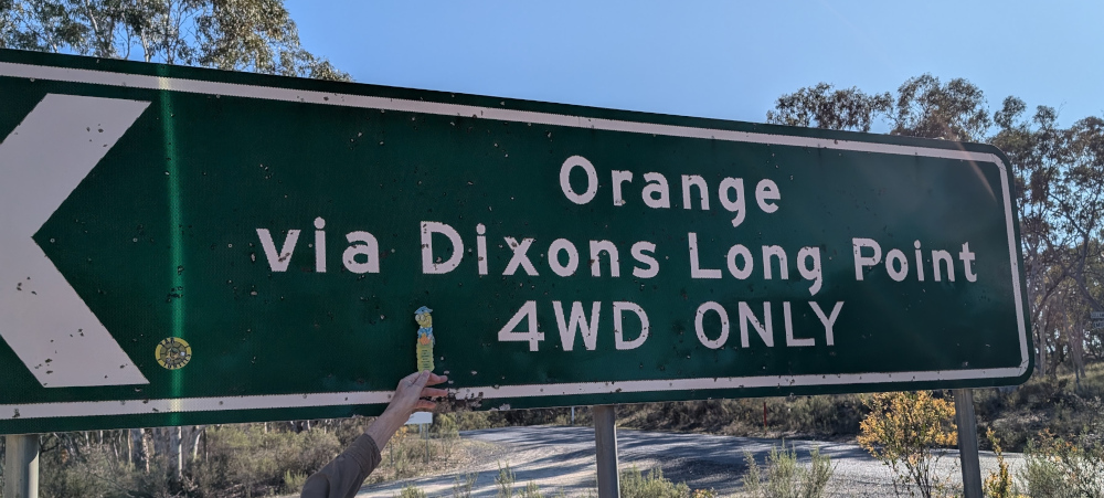
    A sign warns of the nature of the upcoming crossing:

    The road itself is an easy drive:

    A sheep with a new-born lamb greeted us:

    The next video shows the descent towards Dixons Long Point Crossing, on the Hill End side. At about 30 seconds into the video, a wallaby hops across the track in front of the car:

    We stopped for a photo opp when we reached the water:


  • Walls of China at Lake Mungo

    This is the blog of Mark Wordsworm, the travelling worm. I’m a 40-year-old bookmark (give or take a few years) and I proudly boast my own Hallmark serial number, 95 HBM 80-1. You’ll probably want to read all about me and my Travelling Companion (the TC).

    Today’s travel notes

    Me and the TC spent a day at Lake Mungo, deep in the Australian Outback. While there, we visited the intriguing sand dune formation named the Walls of China, or the Mungo lunette.

    The book I’m in

    Where Song Began, by Tim Low. A telling of the origins on the Australian continent of all the world’s songbirds, rich in detail and convincingly told.

    Travel tips

    Sign up for the sunset tour of the Walls of China. The evening lighting adds beauty and drama to the scene, and you’re able to walk right up onto the dunes with your guide.

    Recommended accommodation

    Mungo Lodge offers camping and cabins. The TC opted for a cabin, which was very comfortable. The welcome is warm and the restaurant food is good.
    The photos

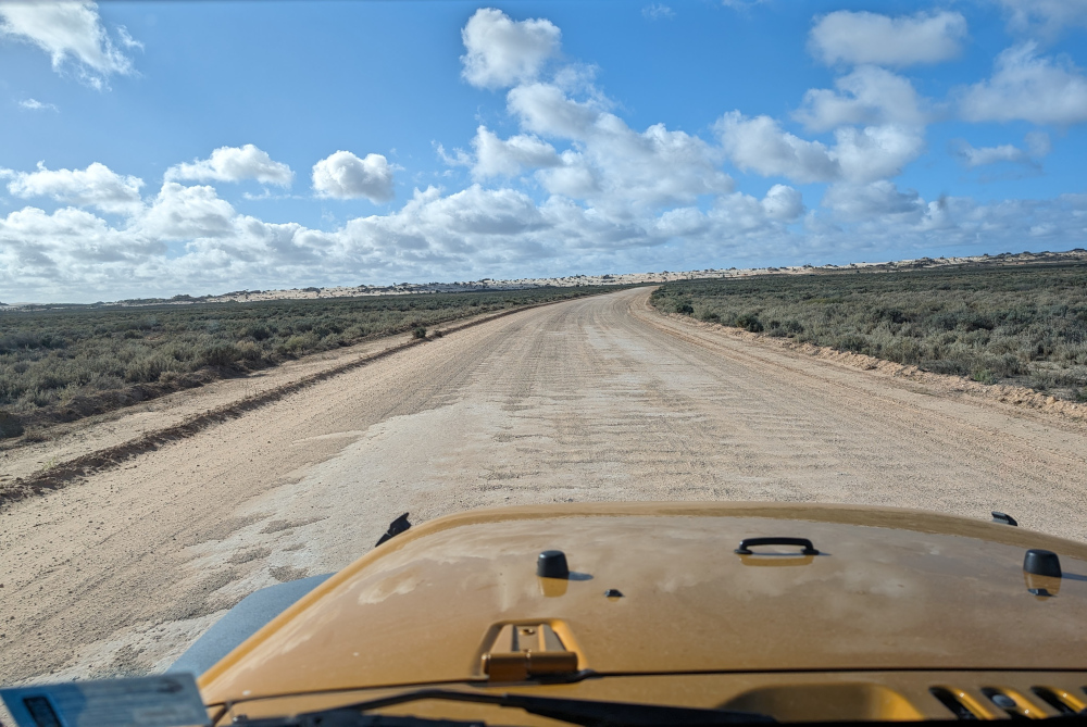
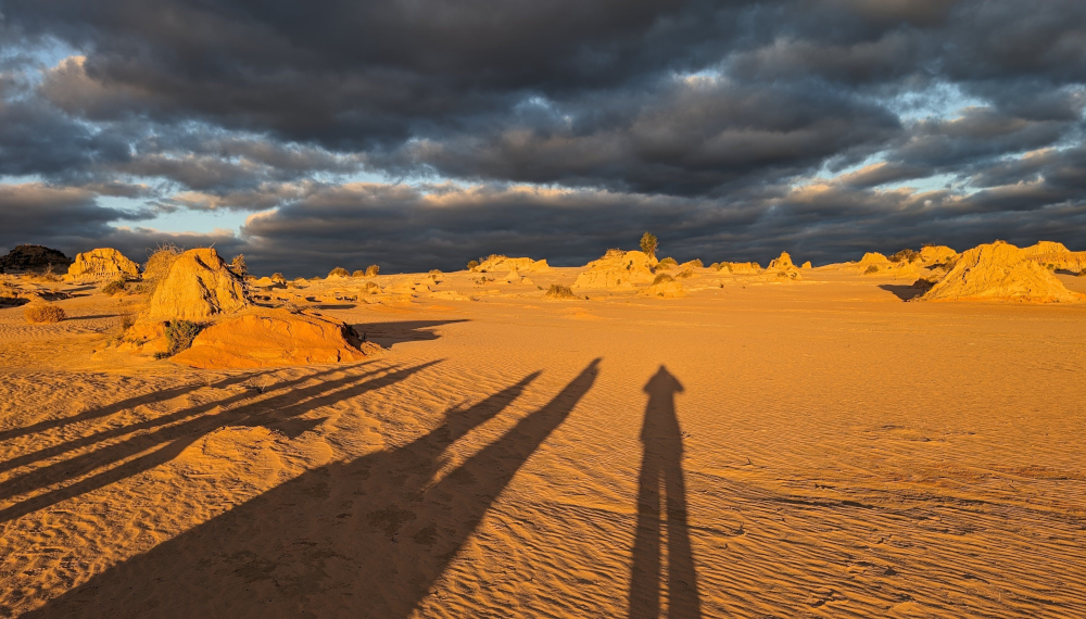
    To reach the Walls of China, you drive across the dried-up bed of Lake Mungo. The road is good and wide. On the horizon, the Walls of China grow as you approach:

    The extra width of the road is especially welcome at dawn and dusk. It gives you time to see the kangaroos that pop out of the bush at random intervals.

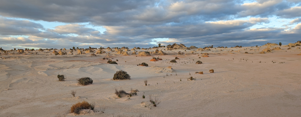
    The colours are fluid, changing with the time of day, the weather, the camera settings. In the middle of the day, the sand is all silver and pale yellows. Perhaps this is where the name “Mungo lunette” comes from:

    In late afternoon, the yellow of the sun exerts more influence:

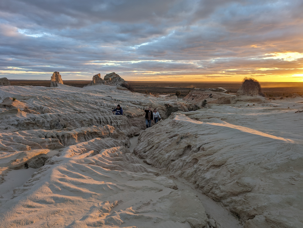
    We were with a guide, which meant that we could walk onto the dunes and see the formations up close:

    Wind erosion has formed narrow gullies which you can walk through, to avoid damaging the fragile dunes:

    Colours deepen as the sun moves lower:

    As the sun disappears, it’s time to make our way back:

    Come daylight, and we’re on the road again, saying farewell to Mungo National Park:

    If you’d like to see more pictures of the national park, read my post titled Lake Mungo.


  • Bridle Track and Root Hog Road

    This is the blog of Mark Wordsworm, the travelling worm. I’m a 40-year-old bookmark (give or take a few years) and I proudly boast my own Hallmark serial number, 95 HBM 80-1. You’ll probably want to read all about me and my Travelling Companion (the TC).

    Today’s travel notes

    Me and the TC drove the historic Bridle Track and the scenic Root Hog Road this weekend with a group of friends. We camped overnight at Mary Flynn Reserve on the Bridle Track.

    The book I’m in

    Ten Days in A Mad-House, by Nellie Bly. A somewhat horrifying true tale of a reporter in 1887, who had herself checked into an asylum for the insane and wrote a book about her experiences.

    Travel tips

    You need a four-wheel drive vehicle to follow the tracks mentioned in this post. If you decide not to camp nor to stop at the various reserves along the way, you can drive the Bridle Track in two to three hours.

    The photos

    Me with Janet the Jeep and Peg:

    Introducing the newest member of our merry menagerie: Janet the Jeep. She’s a 2014 Jeep JK Wrangler, manual transmission, with a 3.6 litre, 6-cylinder petrol engine. She has two side doors rather than four, and is known as a shortie because of her short wheel base. Unlike yours truly, Janet is not built for speed but she’s plucky and strong. More like Peg, in fact.

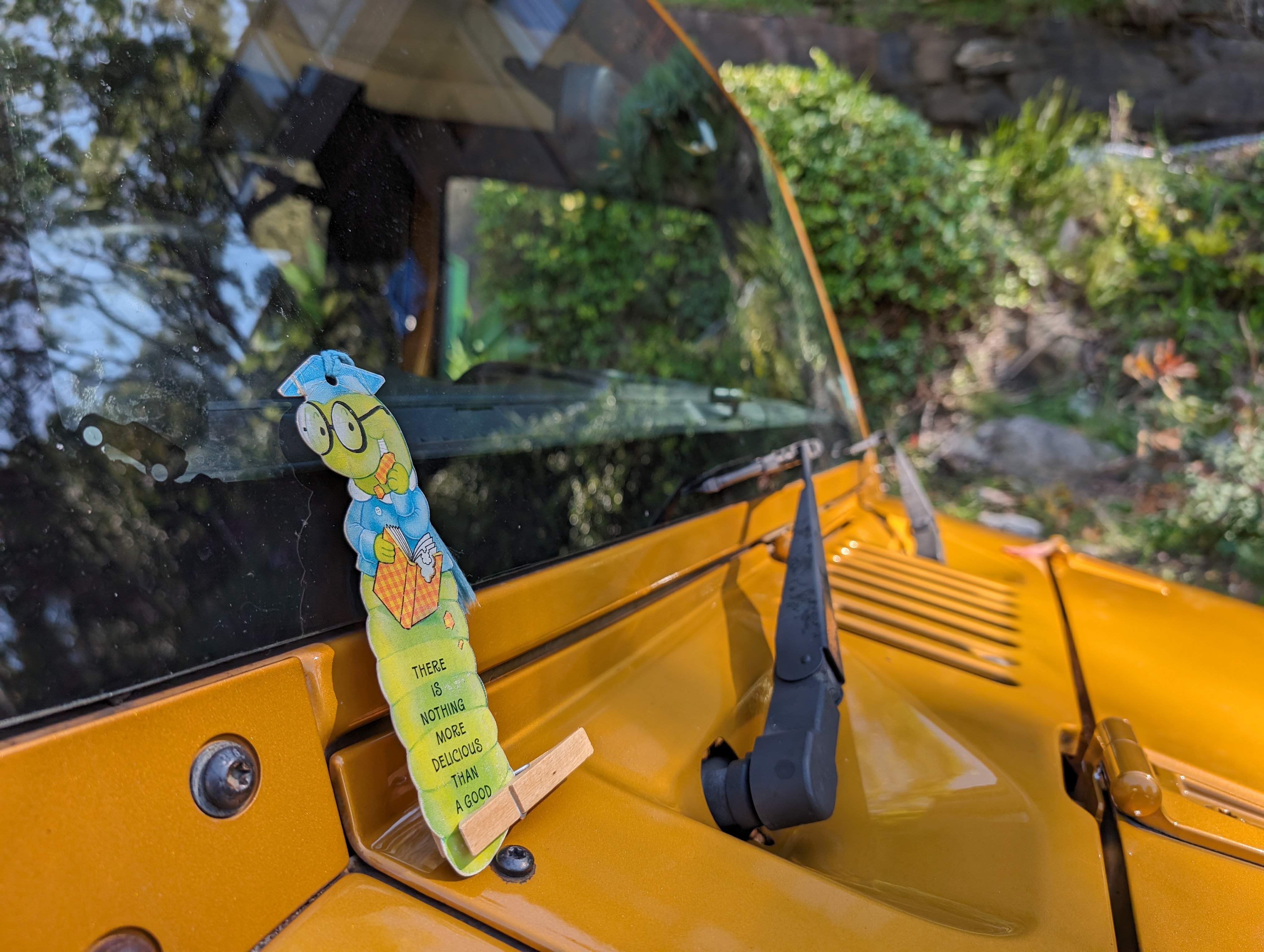
    A keen-eyed reader might notice the little Jeep icon on the windscreen next to this worm. Janet is cute, and she knows it.

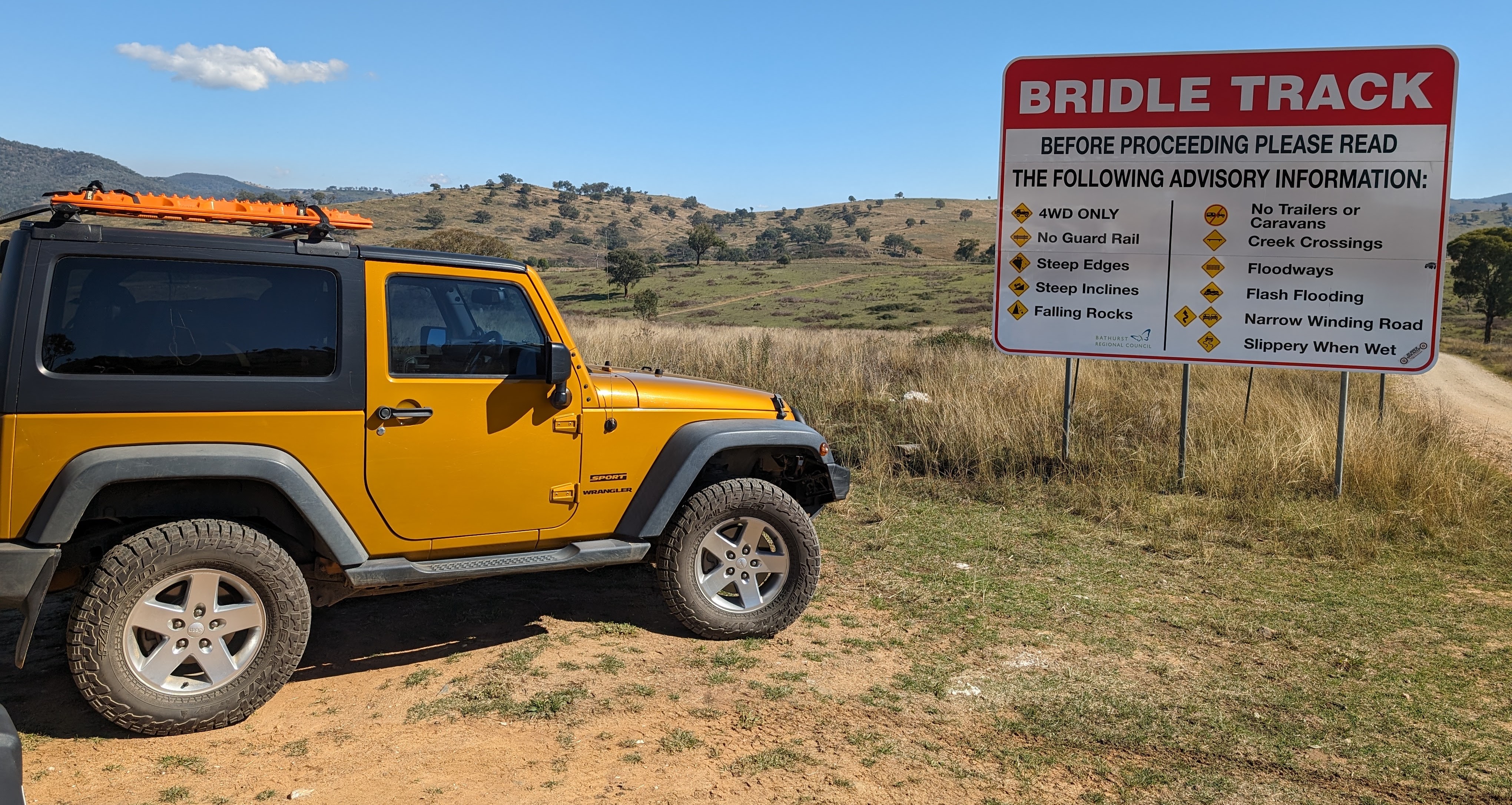
    At the start of the Bridle Track, a sign explains the need for a 4WD vehicle and due care:

    Most of the track is a well-graded dirt road. In some sections, there’s a high rocky wall on one side and a steep drop-off on the other. In this section, the road curved through a rocky bluff:

    In years gone by, one specific section of the Bridle Track was very narrow and slippery: the infamous Monaghan’s Bluff. NSW state has since built a bypass, though a sign still greets you as you enter the area:

    The Bridle Track was built in the early 1800s, to give gold miners and settlers a route from Bathurst to Hill End. Bathurst is now a thriving regional city and Hill End is a small town that welcomes visitors interested in the history of the area.

    Right on the side of the Bridle Track is an abandoned mine shaft. The brave can walk into it. The TC, bless her cotton socks, counts herself as one of the brave. She found that she could stand, with head slightly bowed, in the tunnel:

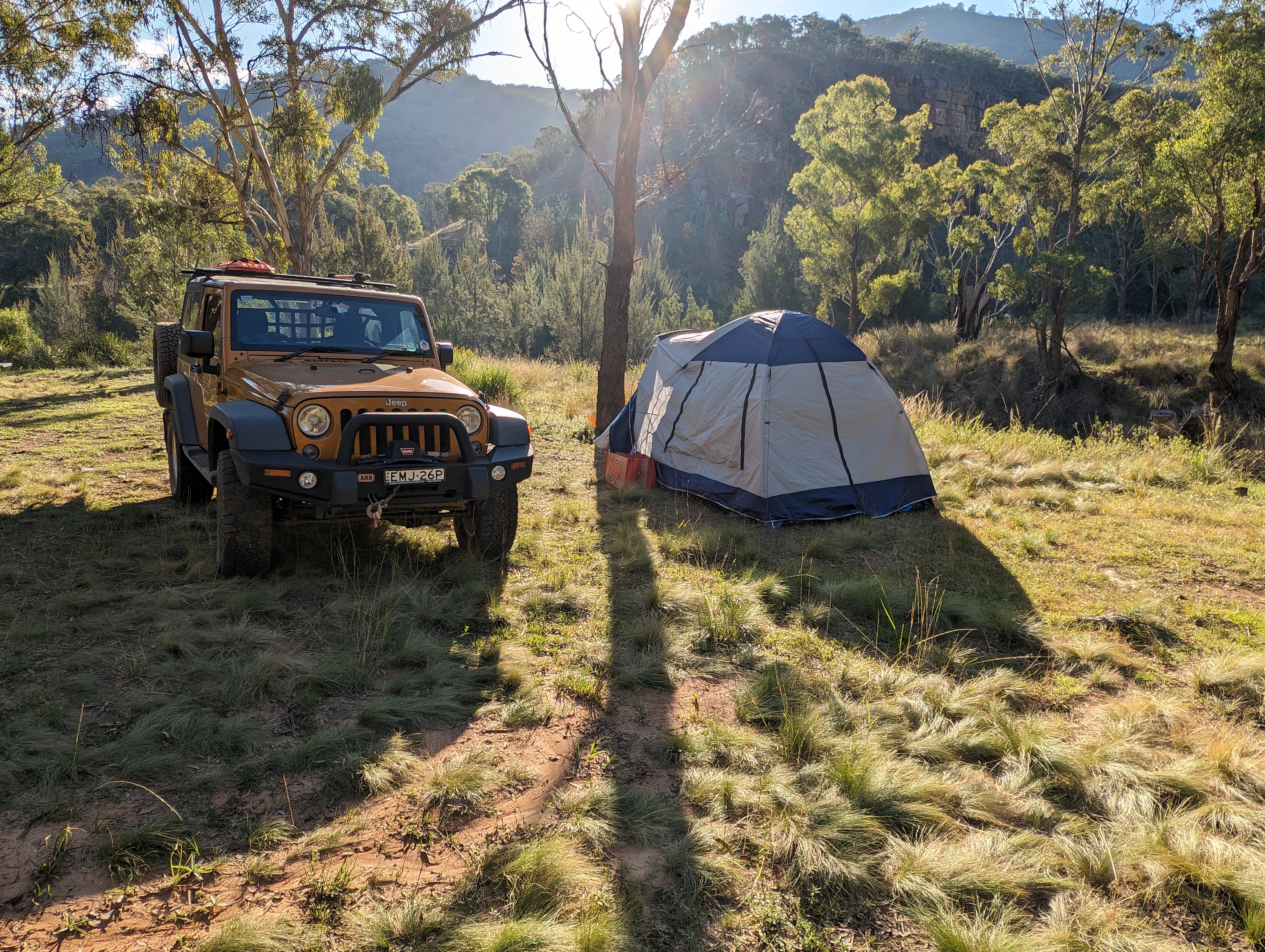
    We camped at the beautiful Mary Flynn Reserve. This view shows part of the campground and surrounding area, taken from the Bridle Track before descending into the valley:

    The Turon River flows past the campsite:

    As the sun goes down, Janet stands guard over the TC’s tent:

    A rainbow campfire, thanks to minerals added by one of the campers:

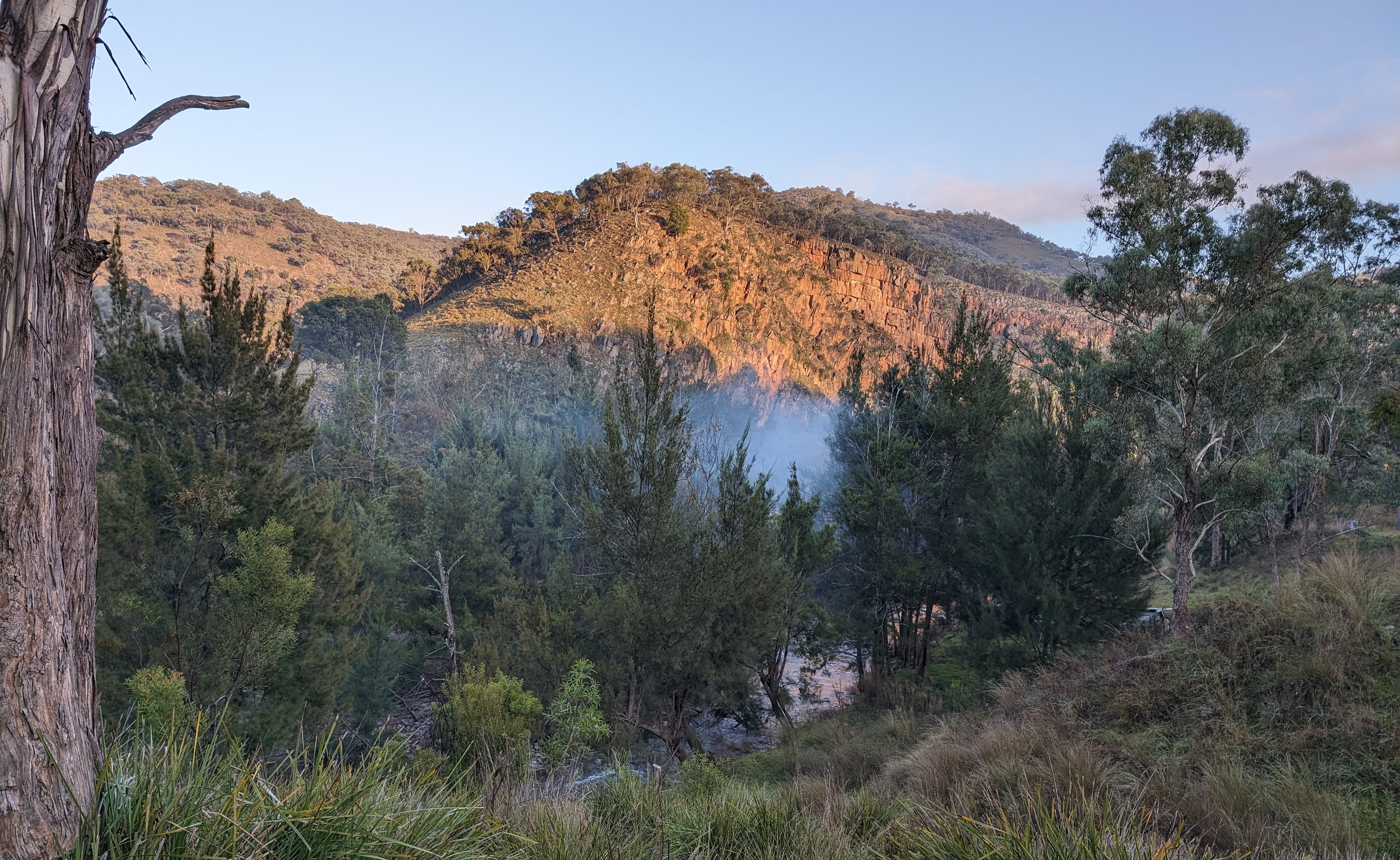
    In the chill of the early morning (it was 6° Centigrade), the sun warms up the rocks on the opposite side of the river, while neighbours get their campfire going down below:

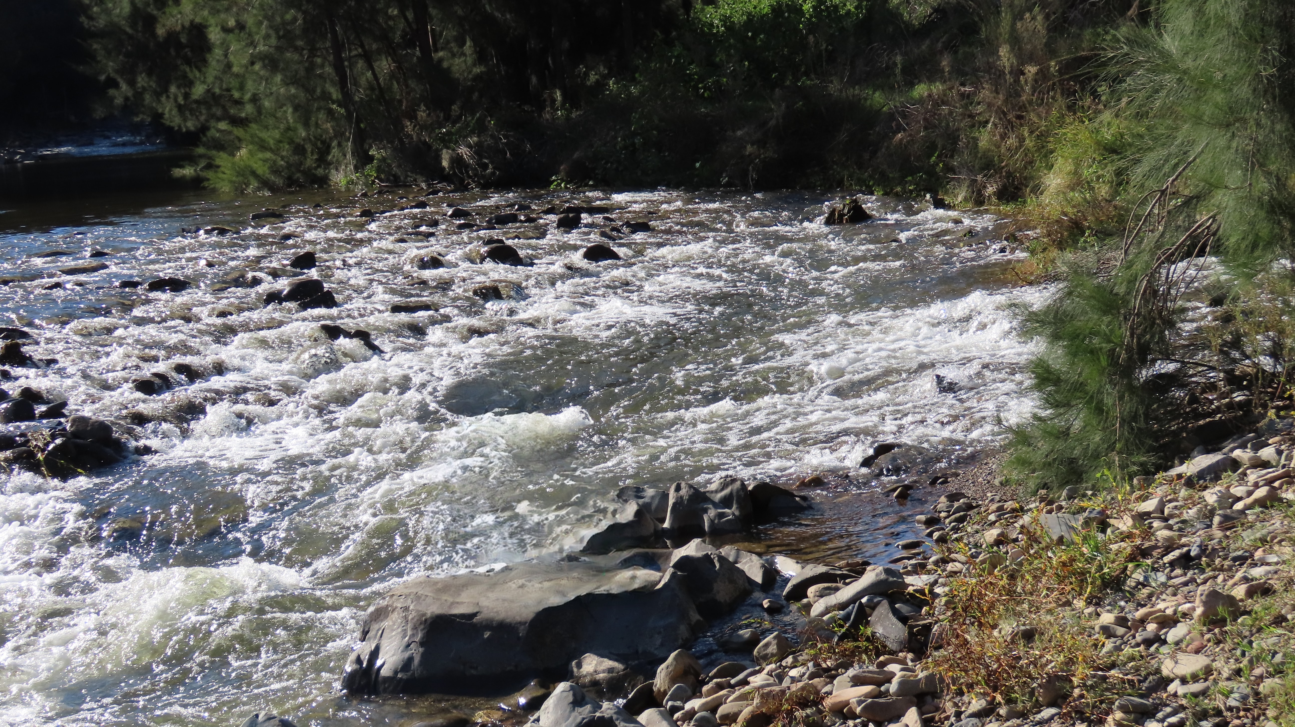
    After packing up our camp, we drove back along the Bridle Track to Root Hog Crossing. This is a crossing of the Macquarie River, at the junction of the Bridle Track and Root Hog Road. The river level was on the high side (measured at about 1 metre at the Rock Forest station), and there was a reasonably strong current. Janet says that it’s the strongest current she’s tackled to date:

    Thanks to our friend Matt for making the video.

    Before doing a trip like this, the TC does plenty of research. She checks the river levels over a couple of weeks, to see what the river’s doing. She also monitors the fire warnings and weather forecasts. On reaching the river crossing, if it looks a bit high or strong current, she’d walk into it first. If you can’t walk the current, then the car can’t take it either. For this crossing, luckily there was a group of three cars doing the crossing when we arrived. We watched them, and judged it safe for our vehicles.

    Root Hog Road is the road of views:

    The next couple of photos are from a previous trip, when we traversed Root Hog Road in the opposite direction. A couple of motorbikes passed us when we stopped to take in the view:

    Another road sign advised due caution:

    Also from our previous trip, this video shows the last part of Root Hog Road as it drops towards the Macquarie River at the junction of Root Hog Road and the Bridle Track. The crossing is to the right, but we turned to the left to take a look at the river and campground:

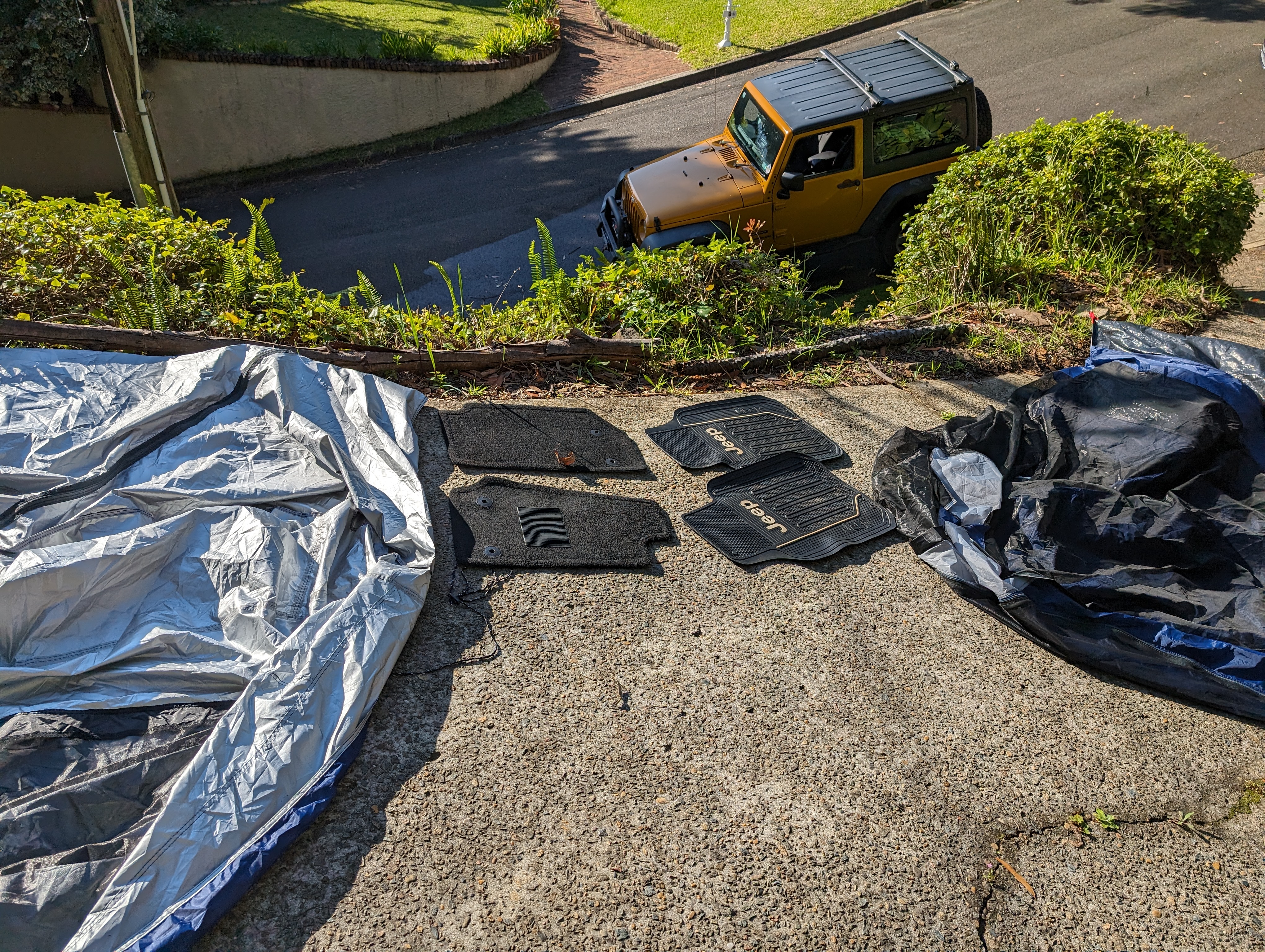
    Cleanup on the day after this week’s trip. Janet got her carpets wet in the Root Hog Crossing, and her paintwork was dusty. The tent was damp from the morning dew:

    If you’re interested in doing this trip yourself, you can find out more about the Bridle Track on the NSW information site.


  • Dublin castle and a couple of cathedrals

    This is the blog of Mark Wordsworm, the travelling worm. I’m a 40-year-old bookmark (give or take a few years) and I proudly boast my own Hallmark serial number, 95 HBM 80-1. You’ll probably want to read all about me and my Travelling Companion (the TC).

    Today’s travel notes

    Me and the TC spent a couple of days in Dublin this week. In addition to our encounter in the park, in which Oscar Wilde got a new green carnation, we cruised around Dublin Castle and a couple of cathedrals. The TC had a go at translating some Latin, which led to predictably humorous results. And I coined a new phrase: whimsy-driven sightseeing.

    The book I’m in

    Darknet, by Matthew Maher. A rollicking tale of murder and mayhem in the world of high tech.

    Travel tips

    Instead of trying to see all the sights, it can be more enjoyable to stroll around and look at whatever catches your eye. I’m coining a new phrase to describe that way of being a tourist: Whimsy-driven sightseeing.

    Recommended restaurants

    Cornucopia Wholefoods Restaurant, Wicklow Street, Dublin. The bakery goods are delicious. In particular, the TC went “Mmmmm” over the gluten-free banana bread. The coffee is probably worth passing up on, though.

    The photos

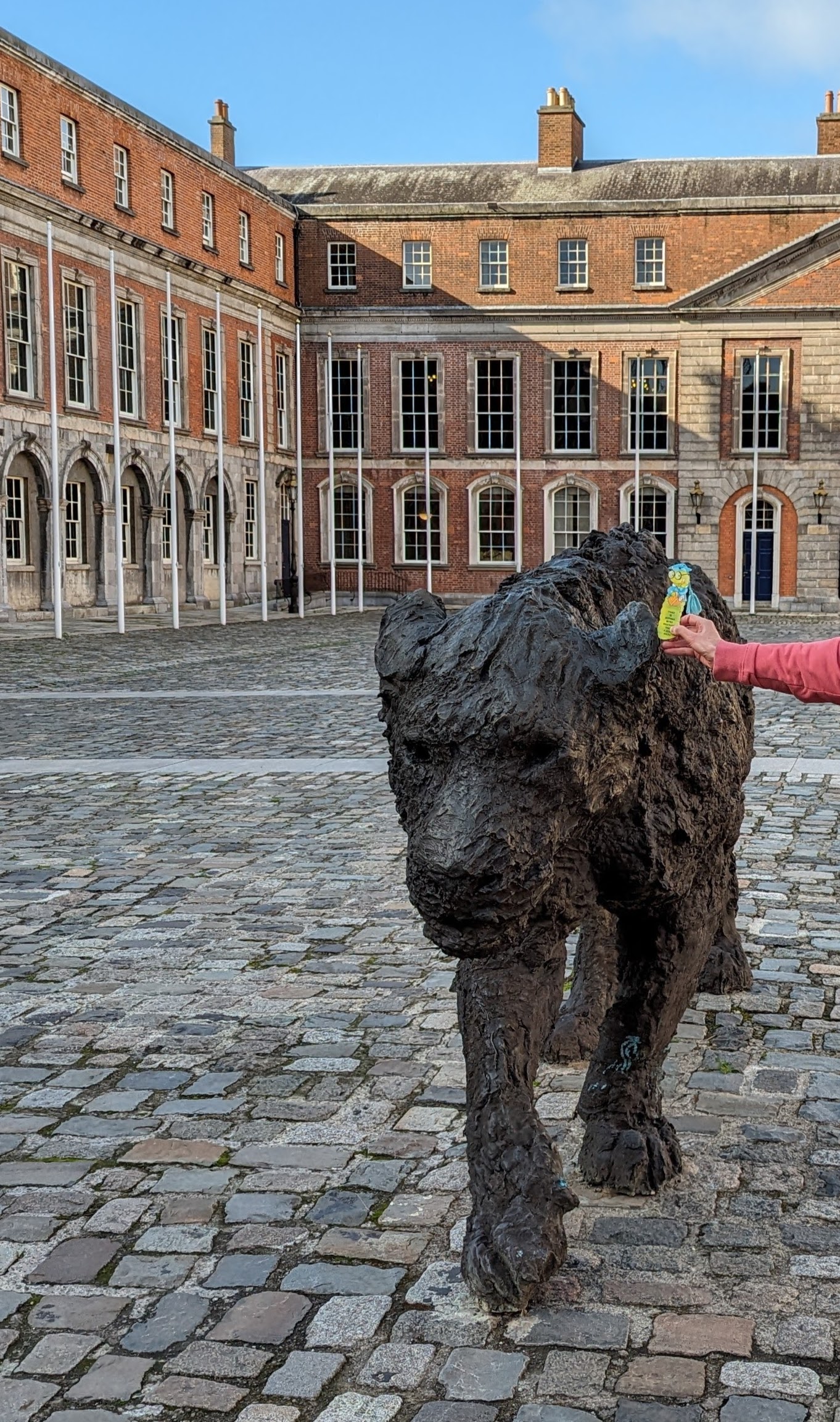
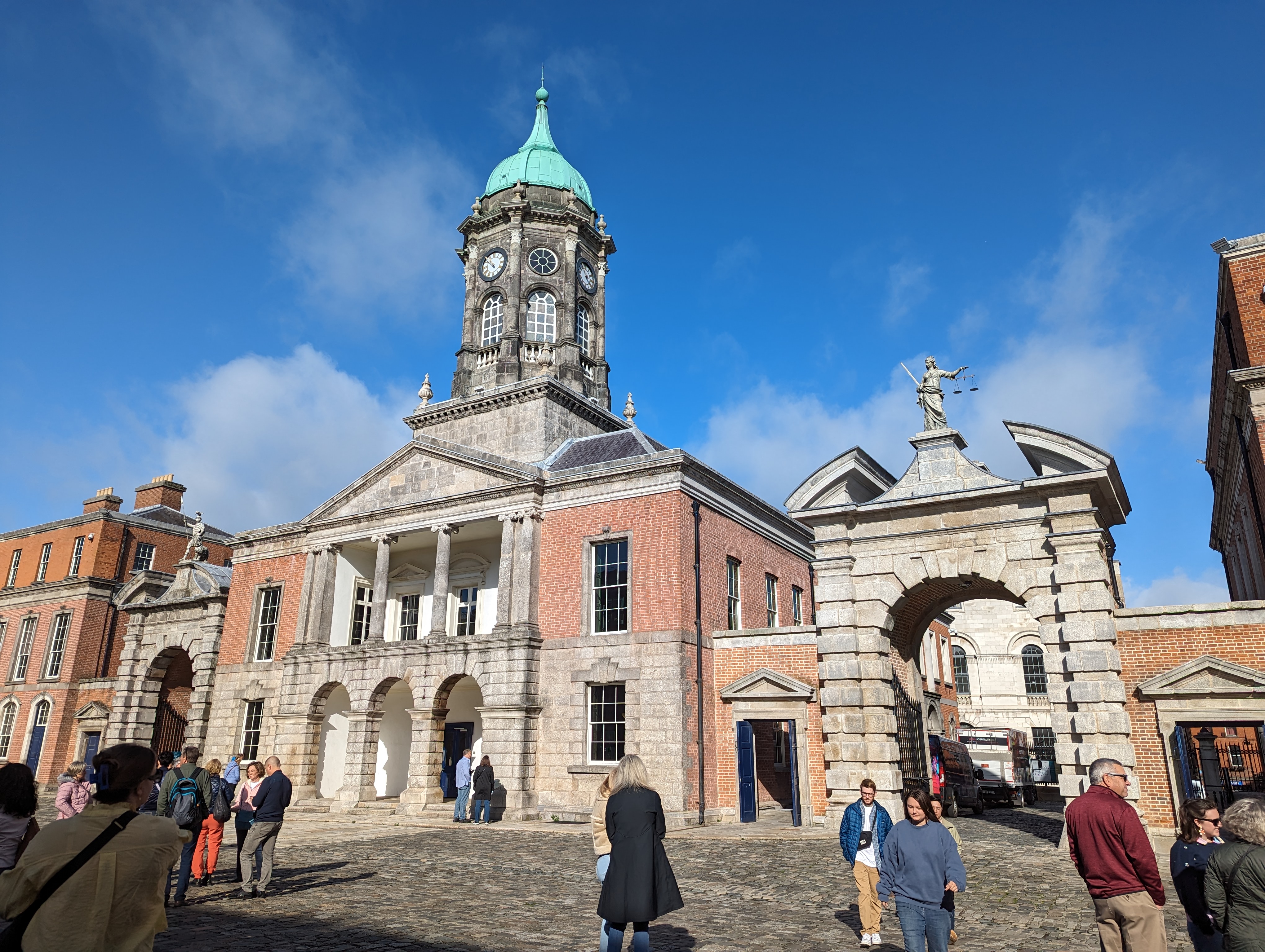
    Me with Leonessa in the courtyard of Dublin Castle:

    Leonessa is a bronze sculpture of a lioness by contemporary artist Davide Rivalta.

    From on high, another lion peers down into the courtyard. It accompanies the soldier above the further archway in this picture:

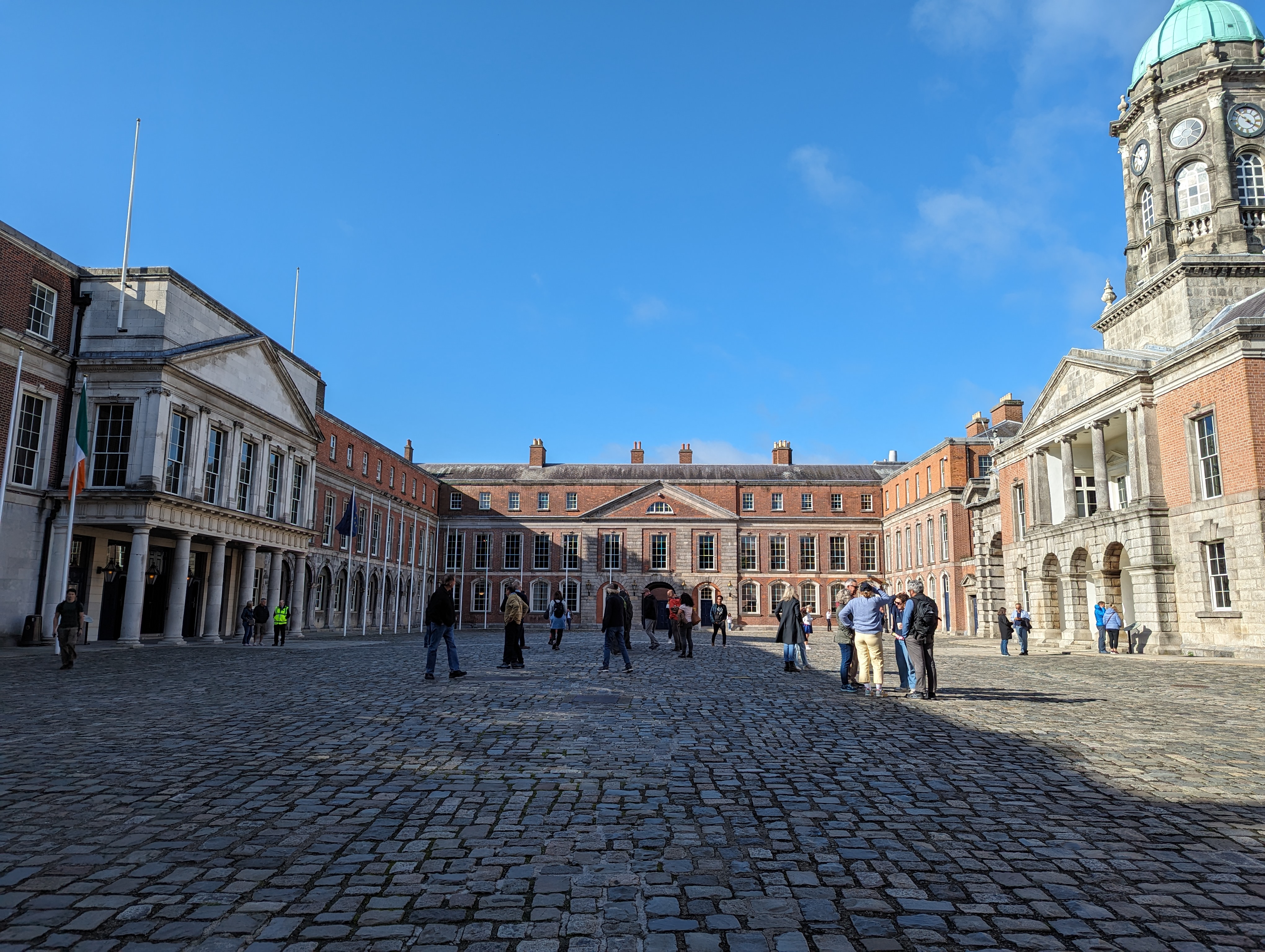
    Stepping back, the full grandeur of the castle courtyard becomes visible:

    This shot shows the outside wall of the castle and the Chapel Royal on the left:

    On the right of the above picture are three archways. The middle one leads into the courtyard. In a room above this archway, Dublin Castle was formally handed over by the last English Lord Lieutenant of Ireland to the Provisional Government of Ireland, led by Michael Collins, on 16 January 1922.

    The other side of the Chapel Royal:

    Moving away from the castle, you might find yourself drawn to Christ Church Cathedral. This ancient and lovely building was founded in approximately 1030 by the Norse King of Dublin, a Viking with the romantic name of Sitriuc Silkenbeard.

    Here’s a front view of Christ Church Cathedral:

    If you follow the green bus down through the archway, you can examine the other side of the cathedral, which is equally striking:

    Stroll a few blocks south down Patrick Street, and you’ll come across St Patrick’s Park and St Patrick’s Cathedral:

    Evidently the tomb of Jonathan Swift, author of Gulliver’s Travels, lies in the nave of the church.

    It’s believed that, in the fifth century AD, St Patrick baptised the first Irish Christians in a well situated where the cathedral park now lies. The first church was built on the site to commemorate the event.

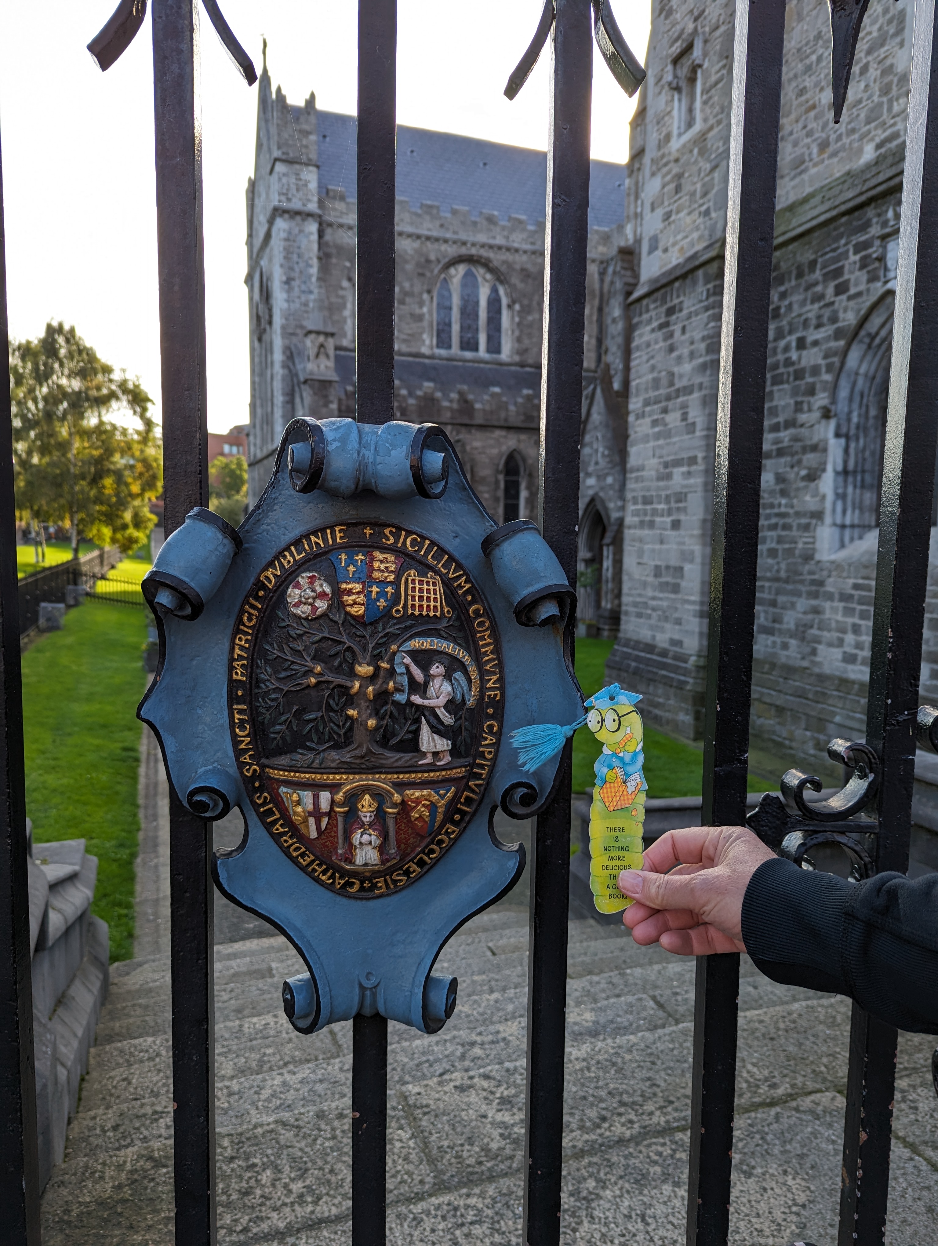
    Me with the coat of arms outside St Patrick’s Cathedral:

    The TC, bless her cotton socks, had a go at translating the Latin on the coat of arms.

    First she tackled the wording on the light blue banner. Her initial reading was this:

    noli allium sapere

    Which translates to:

    don’t taste the garlic

    Ha! Actually, it’s “noli altum sapere“, which means “don’t be too wise“, or “don’t be high-minded“.

    Now for the longer bit:

    sigillum commune capituli ecclesie cathedralis sancti patricii dublinie

    Translation:

    the common seal of the chapter of the cathedral church of saint patrick in dublin


  • Oscar Wilde gets a new green carnation

    This is the blog of Mark Wordsworm, the travelling worm. I’m a 40-year-old bookmark (give or take a few years) and I proudly boast my own Hallmark serial number, 95 HBM 80-1. You’ll probably want to read all about me and my Travelling Companion (the TC).

    Today’s travel notes

    Me and the TC came across a couple of statues of Oscar Wilde in Dublin. To our delight, one of them was accompanied by its original sculptor, Danny Osborne. He was drilling into the statue’s hand! Read on for the story.

    The book I’m in

    Darknet, by Matthew Maher. A rollicking tale of murder and mayhem in the world of high tech.

    Travel tips

    Take a walk in the park, even in the rain. You never know who you’ll meet or what you’ll see.

    The photos

    Sculptor Danny Osborne repairing his statue of Oscar Wilde in Merrion Square Park, Dublin:

    It was a wet and grey day in Dublin today. Nevertheless, me and the TC took a walk in the park. To our surprise, this fellow climbed up a ladder behind the sculpture of Oscar Wilde and started drilling into the statue’s hand. The TC, ever fearless in pursuit of knowledge, asked him if he was the original artist. He said yes, and added that he was replacing the green carnation that was broken a few years ago.

    The sculpture, erected in 1997, is magnificent and eye-catching. It emphasizes the beauty of stone, much loved by Wilde himself. The large base is made of quartz from the Wicklow Mountains which lie outside Dublin. The jacket is carved from green jade, the head and hands from white jade, the collar and cuffs from pink thulite, and the trousers, shoes, and socks from blue and black granite.

    The statue originally held a bronze carnation in its right hand. Presumably the bronze would turn green with the passage of time. We were lucky enough to encounter the artist doing the necessary repairs to replace the carnation.

    Back in Oscar’s time, a green carnation was a symbol of the queer community. In 1892, he made the artificially-coloured flower famous by wearing one on his lapel and encouraging his friends to do the same. Whenever anyone asked what the green carnation meant, Oscar would imply mystery and slight danger. There are rumours that he did this to generate publicity for his new play, Lady Windermere’s Fan.

    The statue provoked some controversy at the time of its unveiling. Seen from another angle, Oscar does look a little debauched and careless:

    However, this worm finds the work intriguing and engaging.

    Me with another version of Oscar, just across the way from the park. This one is right outside the playwright’s home:

    Here’s the statue in its entirety:


  • Places of beauty near Killarney, Ireland

    This is the blog of Mark Wordsworm, the travelling worm. I’m a 40-year-old bookmark (give or take a few years) and I proudly boast my own Hallmark serial number, 95 HBM 80-1. You’ll probably want to read all about me and my Travelling Companion (the TC).

    Today’s travel notes

    Me and the TC were in the area of Killarney in County Kerry, Ireland, a couple of days ago. We visited Torc Waterfall and Ladies View.

    The book I’m in

    Darknet, by Matthew Maher. A rollicking tale of murder and mayhem in the world of high tech.

    Travel tips

    Turn off the tech to enjoy the natural beauty. But the tech is useful in getting you to the right spot!

    The photos

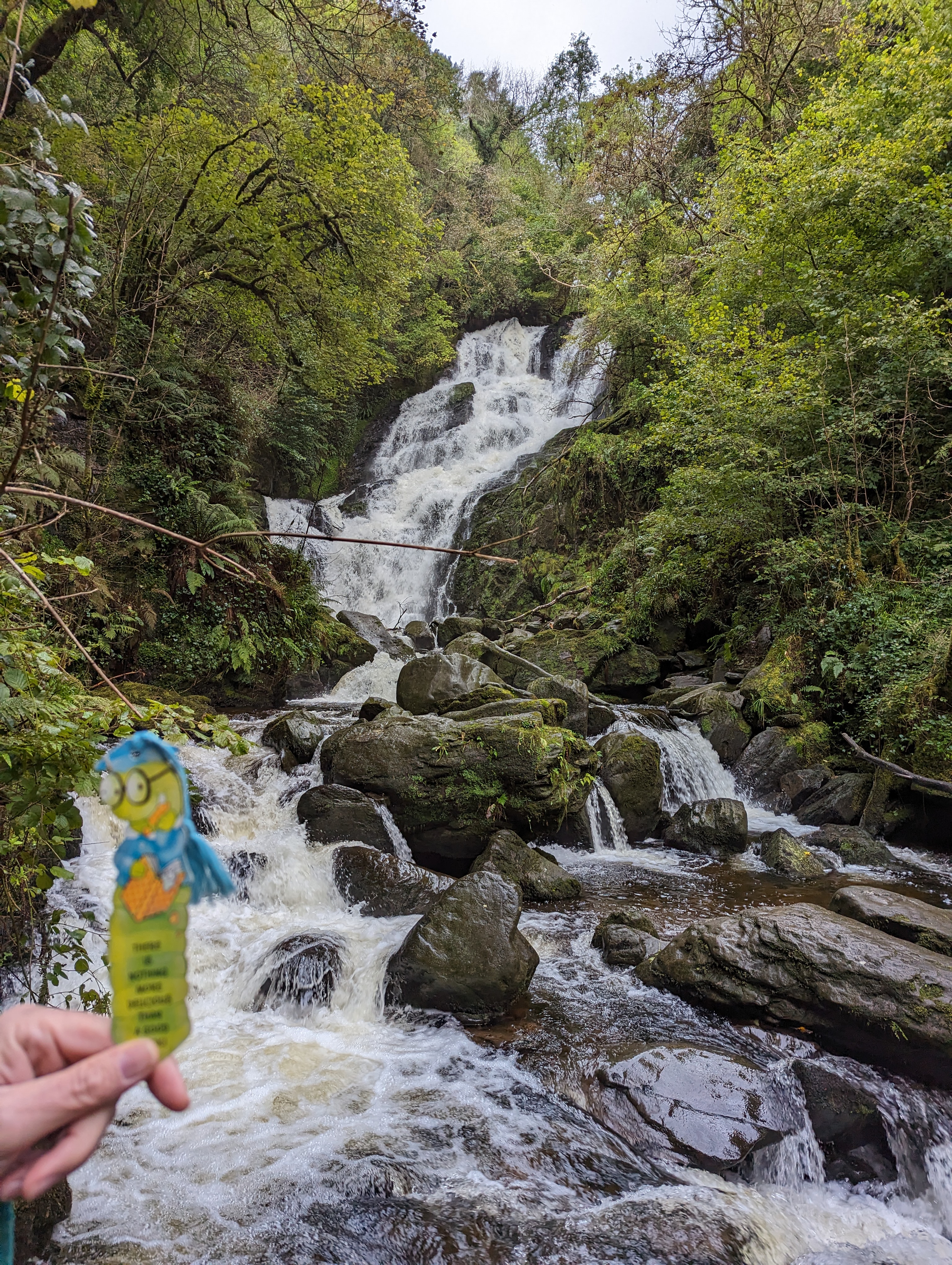
    Me at Torc Waterfall:

    For an immersive experience (as the high tech folks say these days), watch this video of the waterfall:

    The waterfall is a very short walk from the carpark: approximately 200 metres.

    Green is the colour of the walk:

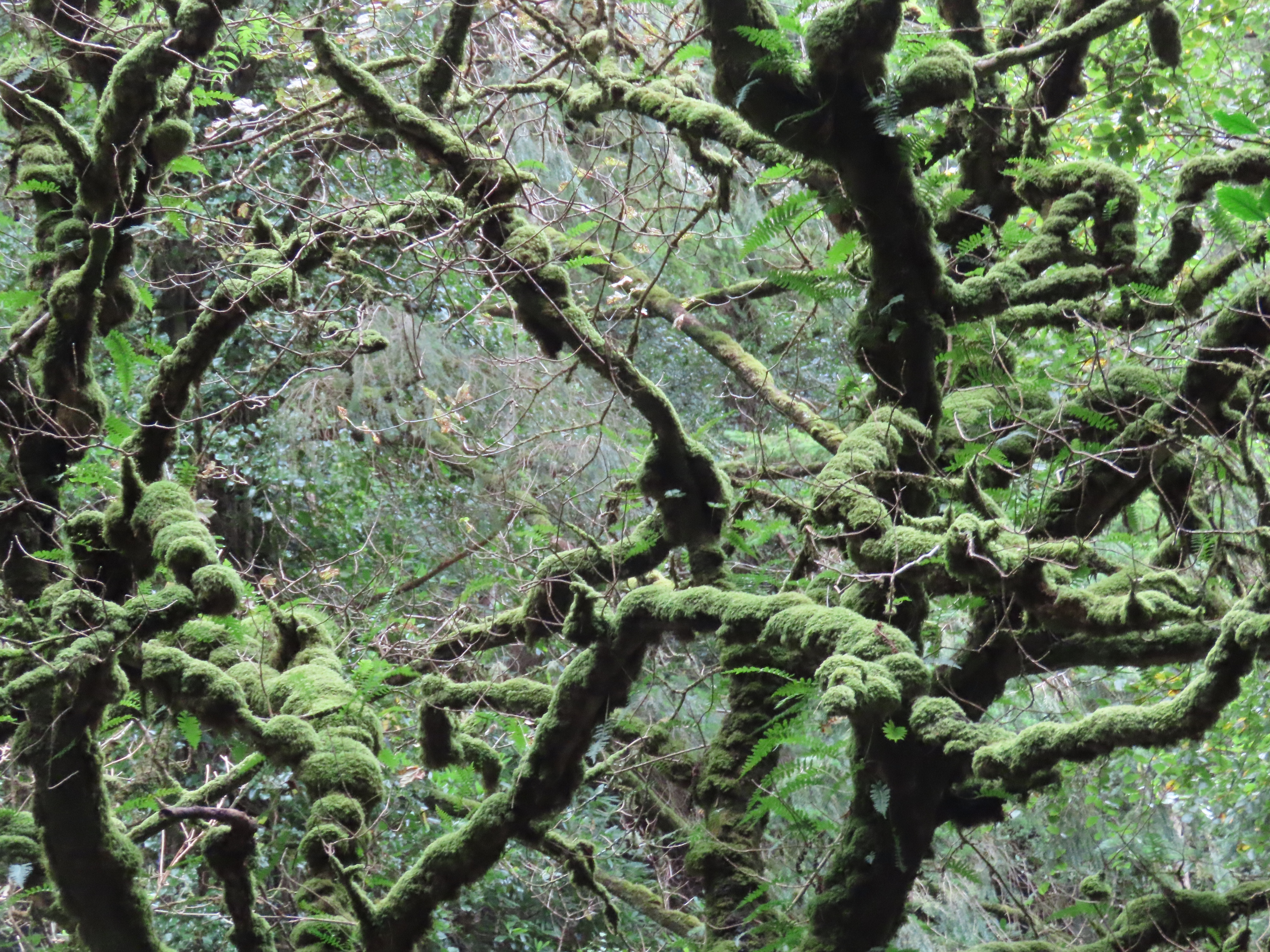
    High on the branches of the forest, moss glows in the gentle light:

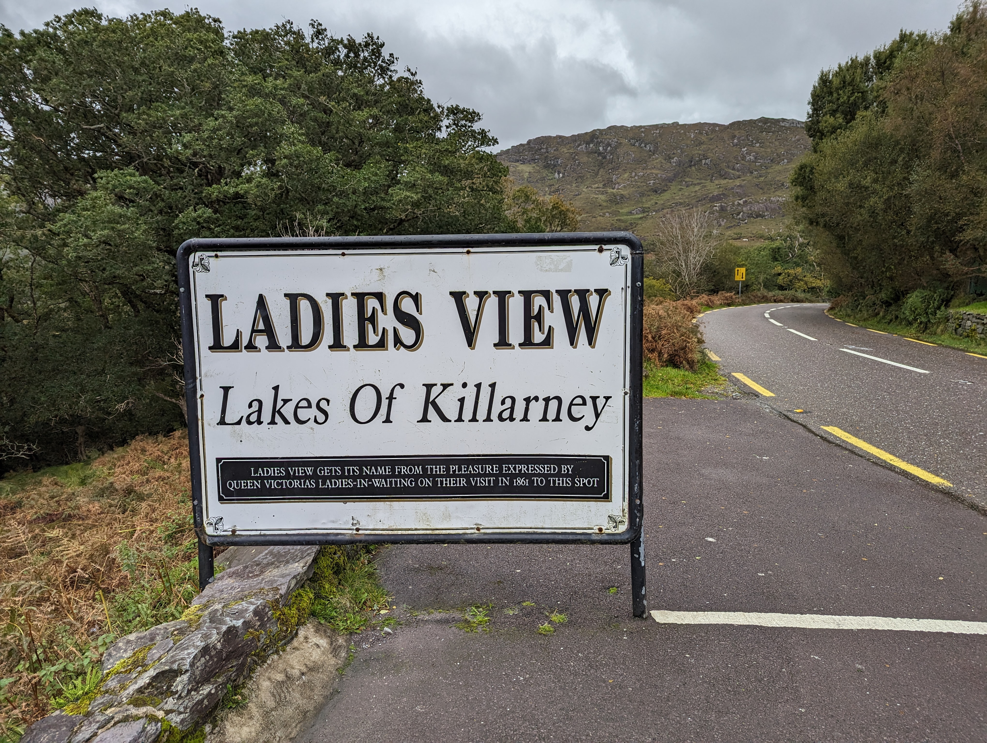
    Our next stop was Ladies View, a lookout point over the lakes of Killarney:

    The name “Ladies View” comes from the popularity of the lookout among Queen Victoria’s ladies in waiting during the royal visit to Killarney in 1861.

    Here’s another shot of the lakes, sans yours truly:

    Thus spake the notice board:

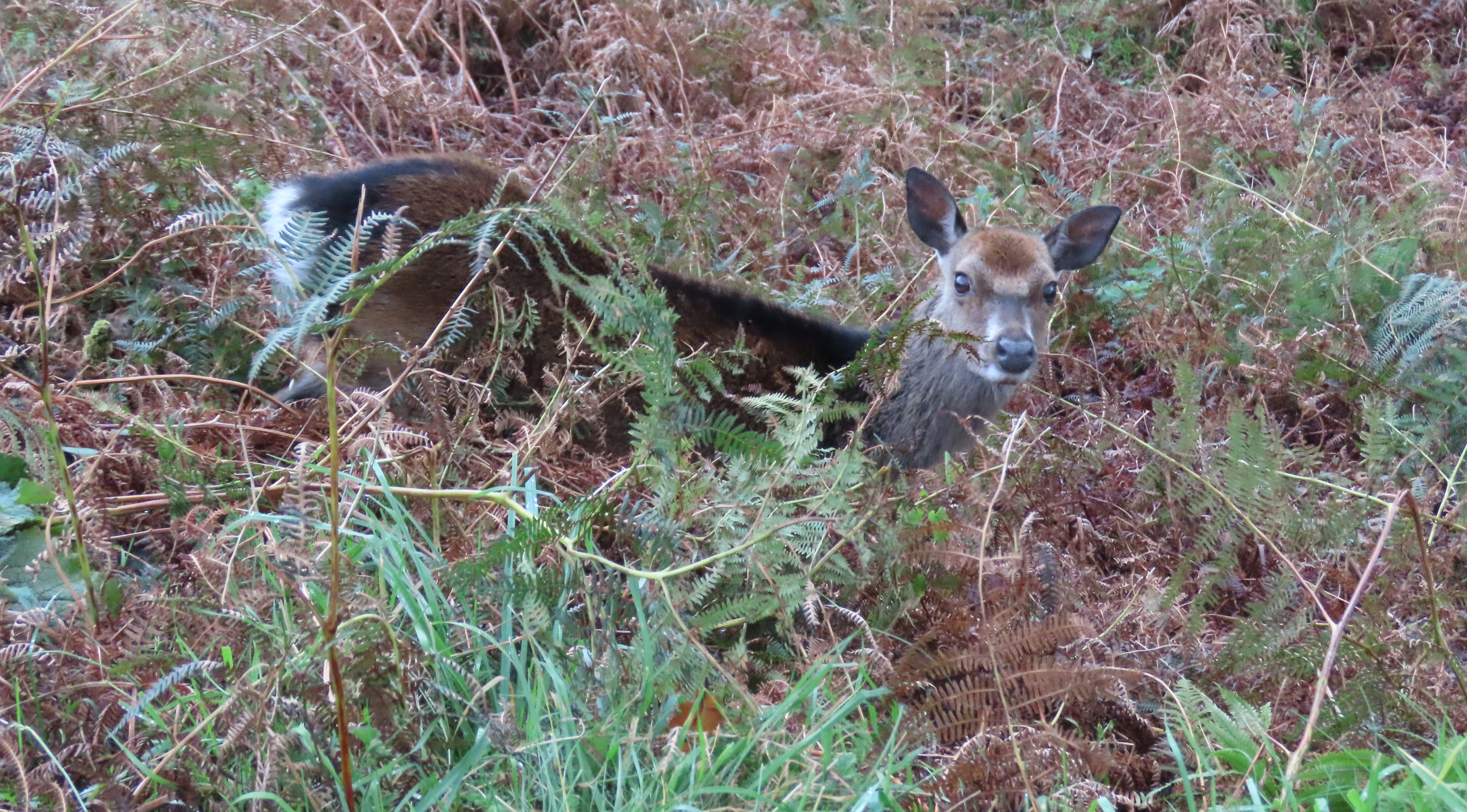
    The ground drops away quite steeply at the edge of the road. The TC peered over the lip and came eye to eye with a deer quietly browsing:


  • Blennerville and the mystery of Robert Emmet’s burial place

    This is the blog of Mark Wordsworm, the travelling worm. I’m a 40-year-old bookmark (give or take a few years) and I proudly boast my own Hallmark serial number, 95 HBM 80-1. You’ll probably want to read all about me and my Travelling Companion (the TC).

    Today’s travel notes

    Me and the TC are lodged close to the village of Blennerville on the west coast of Ireland. Let me spin you a yarn of happenstance and mystery concerning the romantic Irish hero Robert Emmet, his burial place, and one of his present-day family members.

    The book I’m in

    Stormswift, by Madeleine Brent. This author writes adventure stories about young heroines dragging themselves out of impossible situations by dint of courage, strength, and hard-won skills. Despite the dire subject matter, the novels are curiously calming.

    Travel tips

    Don’t go looking, and you will find.

    The photos

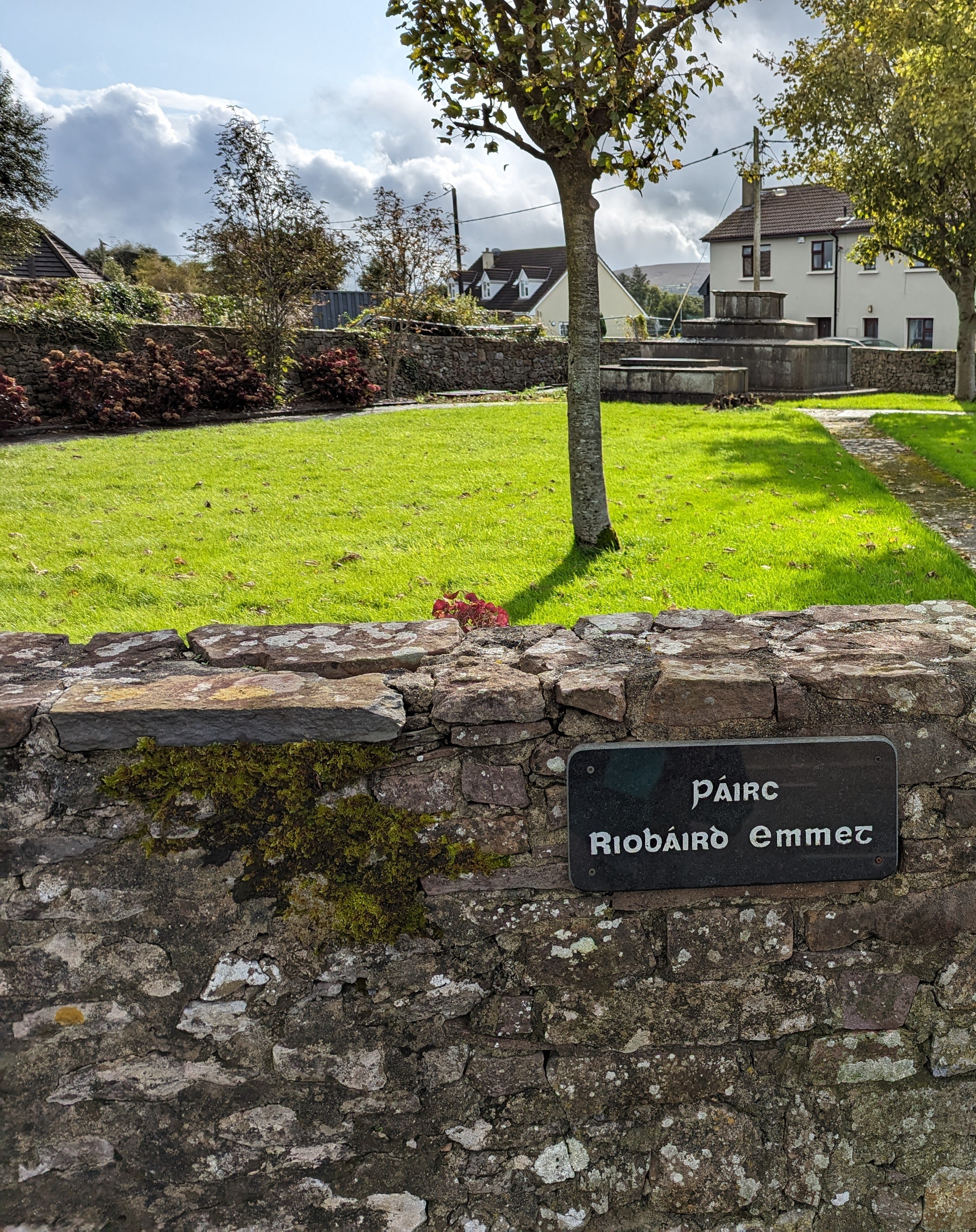
    While taking a constitutional stroll in the area of Blennervile with me and the TC, the TC’s partner stopped short in his tracks and stared at a notice on the wall of a small park. The notice said, Páirc Riobáird Emmet. The park was dedicated to Robert Emmet, known in Ireland as “The Patriot”.

    At this point in my story, it’s necessary to take a step back and explain a few things. The TC’s parter, henceforth to be called the TC-once-removed, has down the years heard tales from his mother of his familial connection to one Robert Emmet. The latter is an Irish hero from the days of the 1803 rebellion against British rule. Emmet inspired and led the uprising, which didn’t go well. Emmet was later tried for high treason, found guilty, and alas executed.

    Back to our stroll on this fateful day. We had no plans to research the history of Robert Emmet. Indeed, we had no idea that we found ourselves in a place of significance with respect to that history. In addition, our decision to take a walk that morning, and indeed to take that particular route, was entirely random.

    So, when the TC-once-removed saw the notice declaring a park dedicated to his forebear, he was flabbergasted. And not a little delighted.

    Robert Emmet was hanged in Dublin in September 1803. The hangman then removed Emmet’s head and showed it to the people, saying “This is the head of a traitor, Robert Emmet”.

    This worm promised you a mystery, and here it comes. What happened to Robert Emmet’s body? The remains were first taken to Newgate Prison and then back to Kilmainham Gaol in Dublin. He was then buried in Bully’s Acre, a public cemetry in Dublin. However, it’s widely believed that his body was removed secretly and buried elsewhere. But where?

    Páirc Riobáird Emmet in Blennerville is but one of several places that claim to be the hero’s final resting place. Emmet is a descendant of the Blennerhassett family. Blennerville village was once the Blennerhassett estate village. According to local tradition, Robert Emmet was laid to rest in an unmarked grave under the back porch of St Anne’s Church, which once stood where the park is now located. The church was demolished in 1930.

    Over the years, many people have searched unsuccessfully for the hero’s body. Robert Emmet’s supporters have a saying: “Do not look for him. His grave is Ireland”.

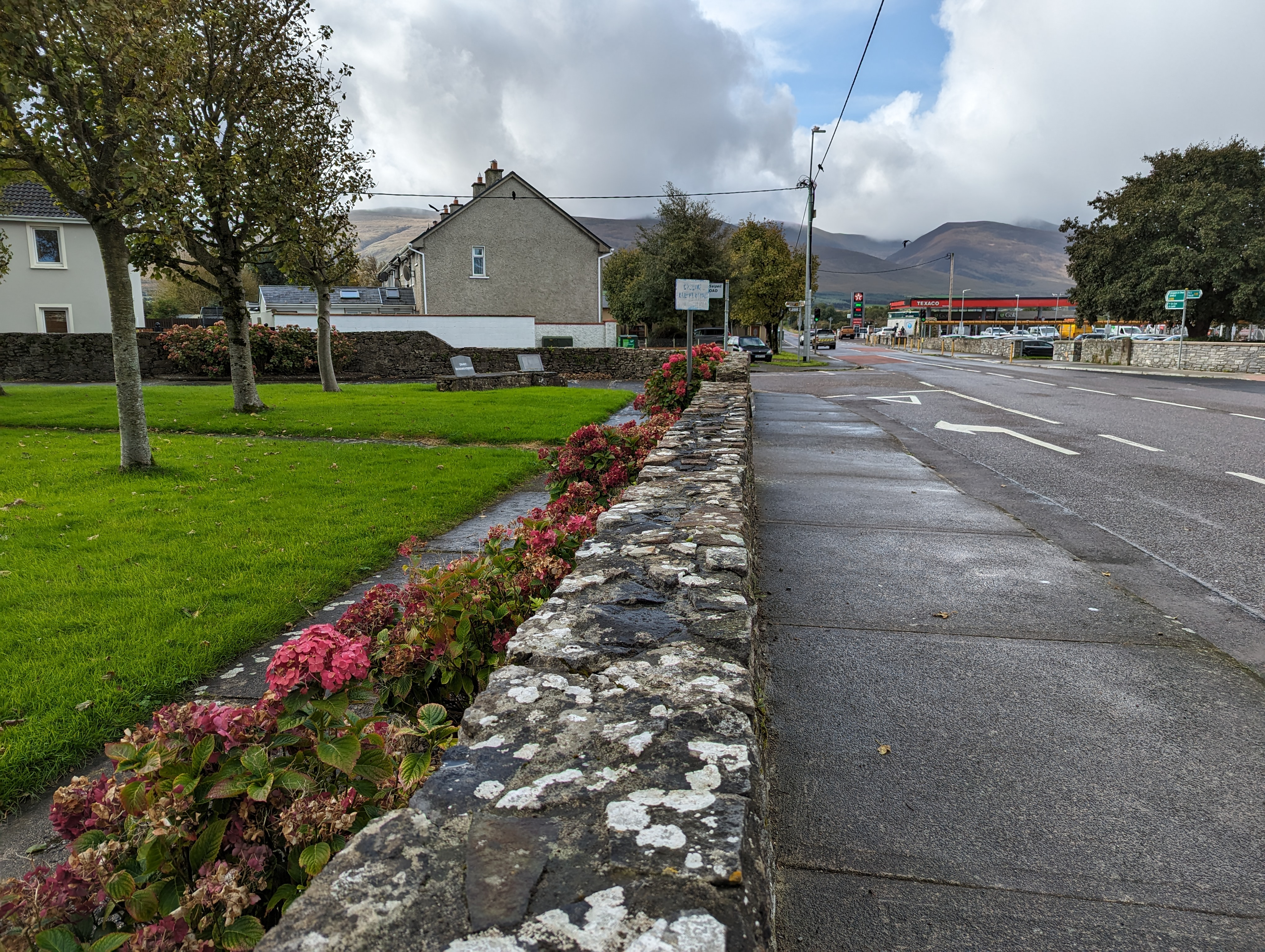
    Leaving Páirc Riobáird Emmet behind us:

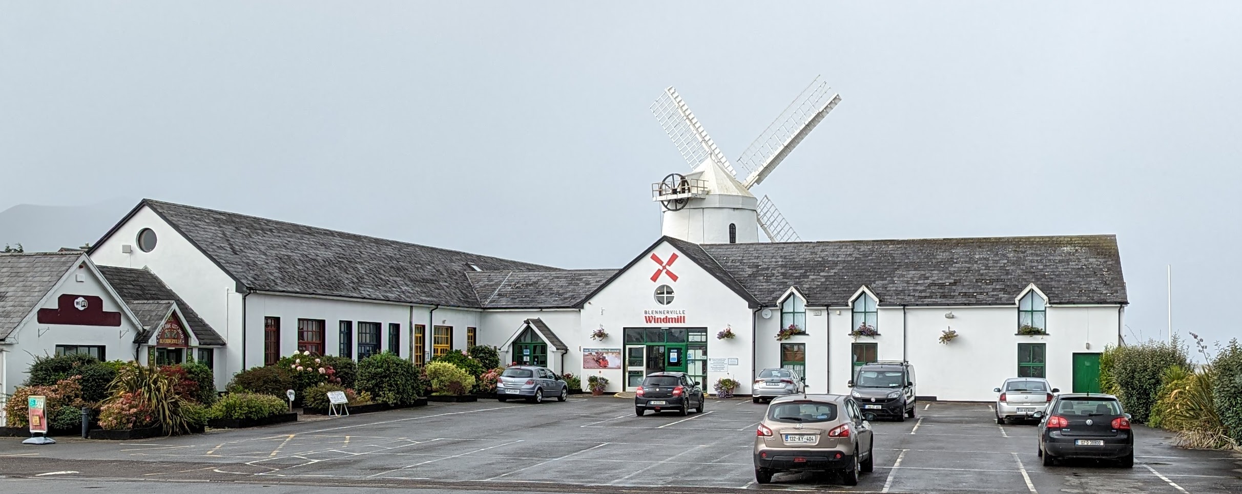
    We strolled further along the road to Blennerville and came across the windmill:

    Greys on greys, and a splotch of yellow from a person dressed for the weather:

    Just beyond the windmill is Blennerville Bridge, with its views of the River Lee and the flats as the river opens into the Atlantic Ocean. The inclement weather provided us with a rainbow:

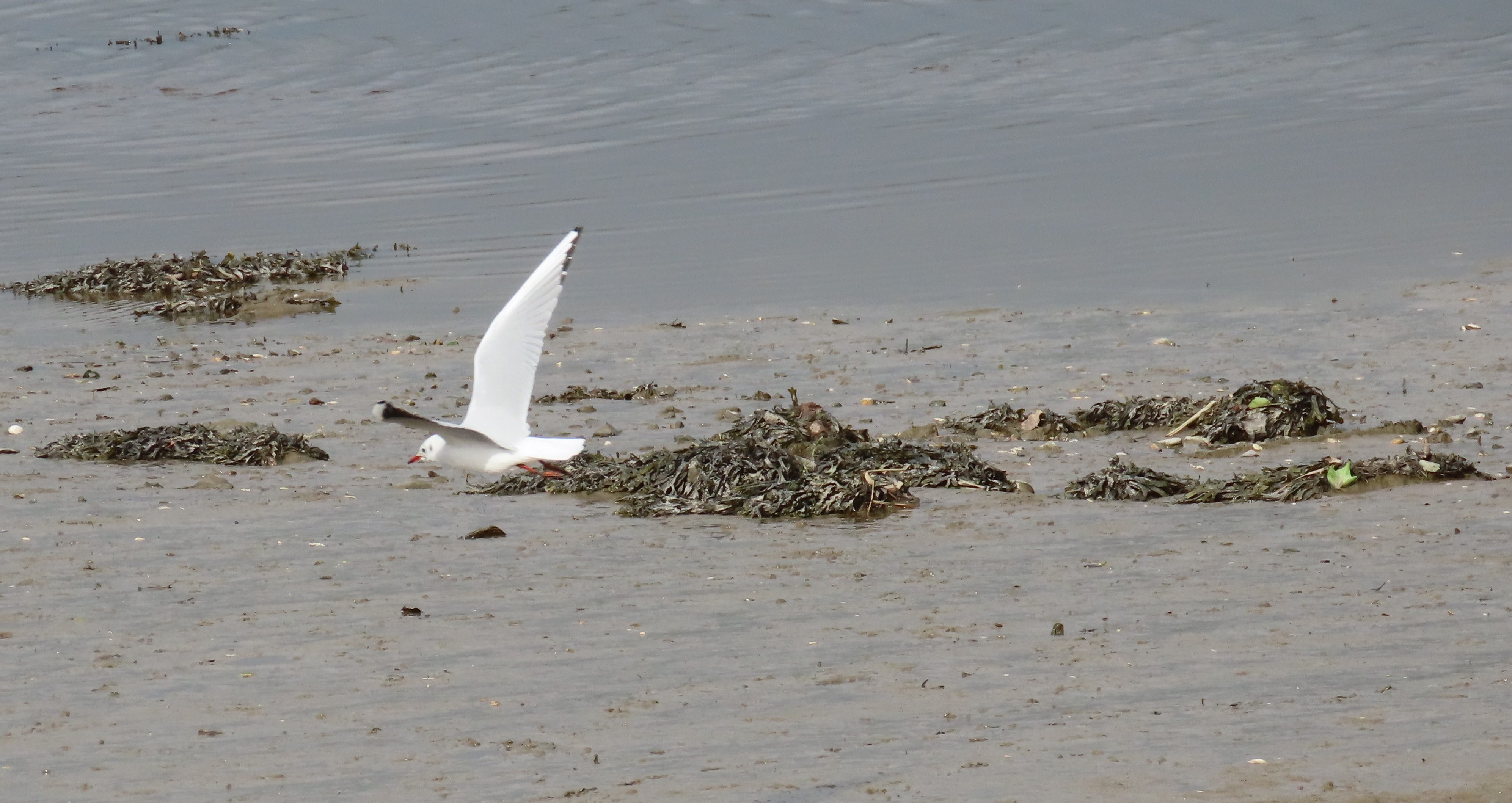
    Jonathan was there:

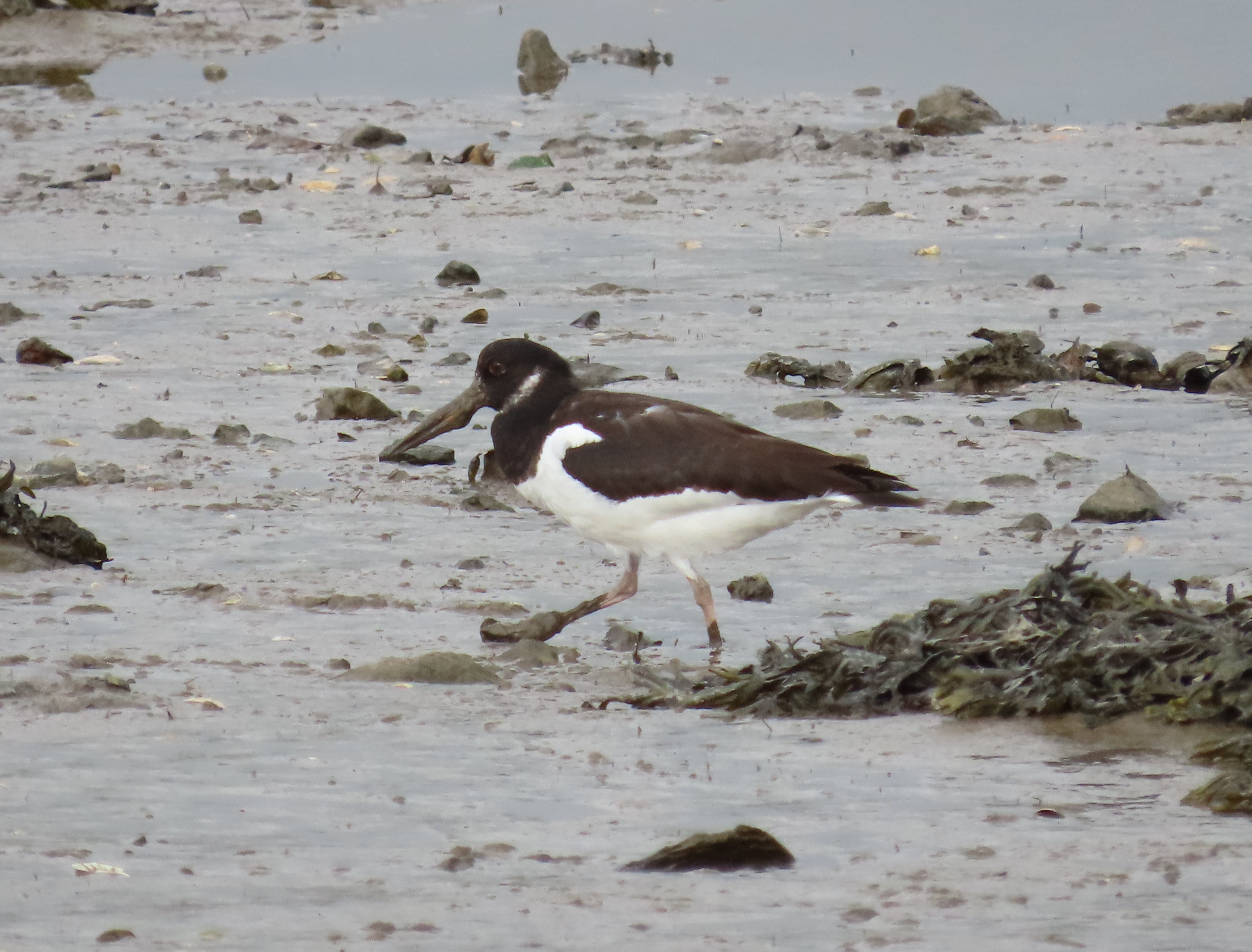
    Jonathan had brought a couple of mates to explore the flats: an Oystercatcher with a muddy beak:

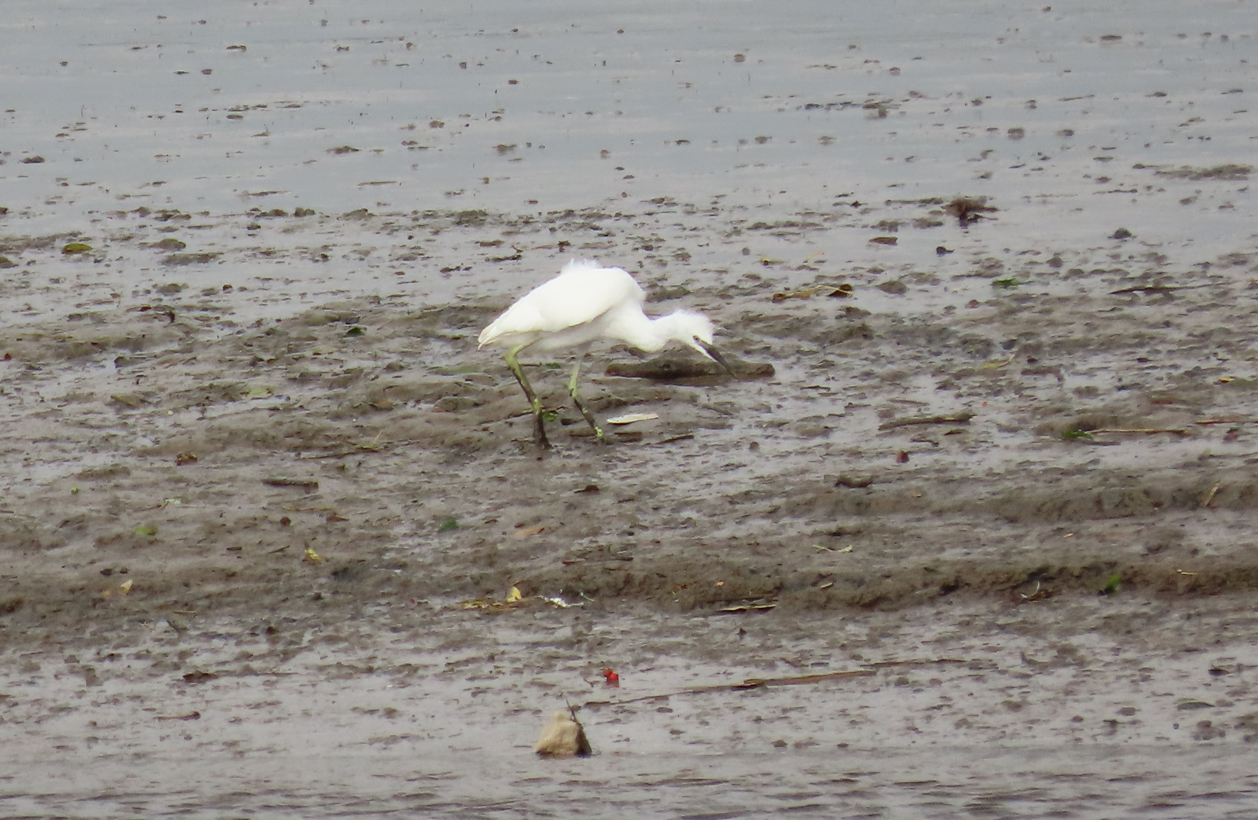
    A young Little Blue Heron with green legs:

    Heading off with a definite purpose in mind:

    On that note, we continued our stroll. Here’s a scene from one of the streets in Blennerville:


  • Hadrian’s Wall at Walltown Quarry, Greenhead

    This is the blog of Mark Wordsworm, the travelling worm. I’m a 36-year-old bookmark (give or take a few years) and I proudly boast my own Hallmark serial number, 95 HBM 80-1. You’ll probably want to read all about me and my Travelling Companion (the TC).

    Today’s travel notes

    Me and the TC visited part of Hadrian’s Wall yesterday. The wall is more than 70 miles long, so we had to choose our viewing point. We chose Walltown Quarry, near the village of Greenhead in Northumberland. The beautiful countryside provided a spectacular backdrop for the remnants of the wall.

    The book I’m in

    Stormswift, by Madeleine Brent. This author writes adventure stories about young heroines dragging themselves out of impossible situations by dint of courage, strength, and hard-won skills. Despite the dire subject matter, the novels are curiously calming.

    Travel tips

    Drive the A68 through Northumberland and into Scotland. It’s one of the most beautiful drives in the world, passing through restful grey-stone villages and meandering over rolling green hills dotted with sheep and cattle.

    The photos

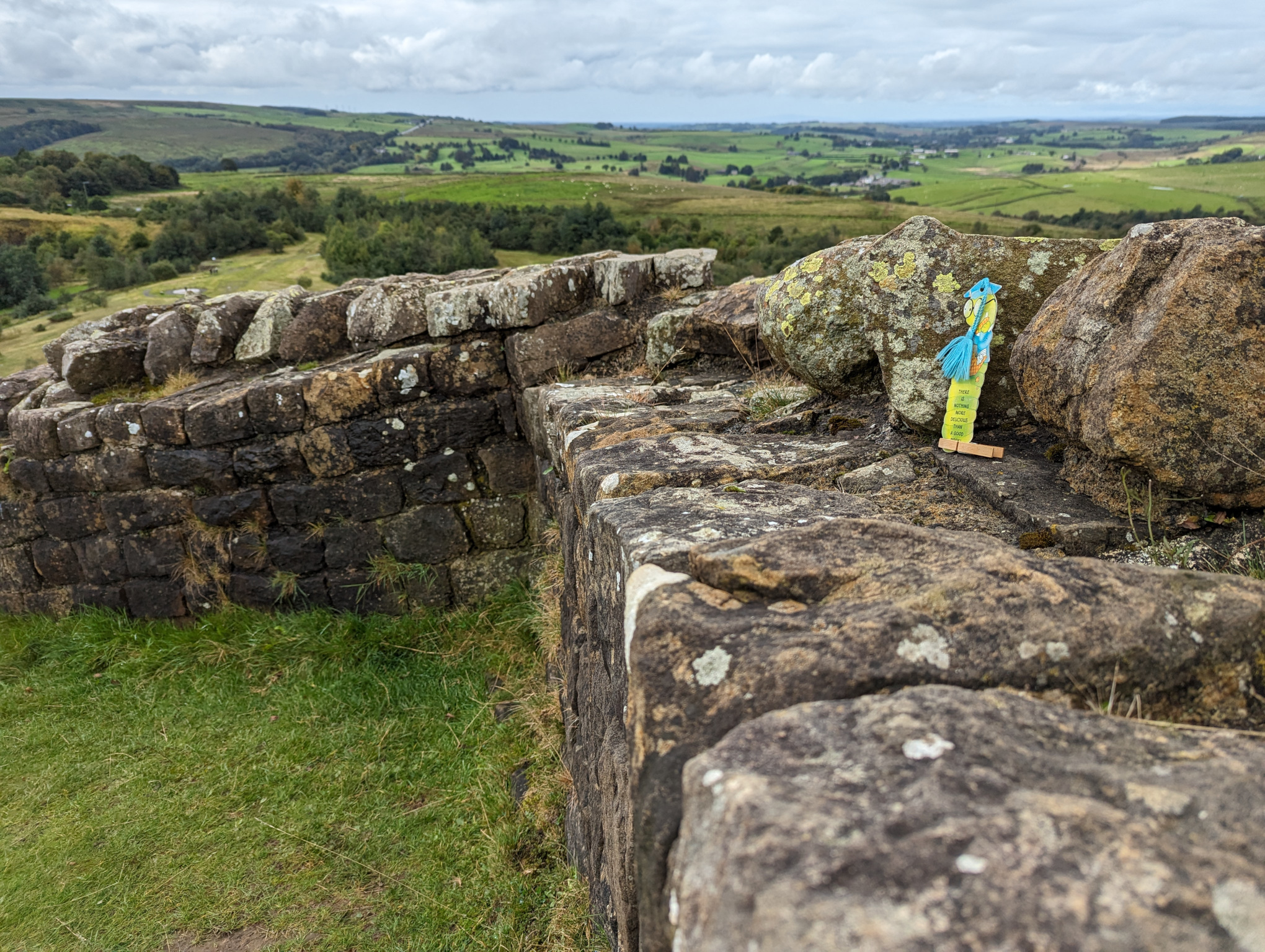
    Me and Peg on Hadrian’s Wall:

    Devoted readers will no doubt remark on Peg’s re-appearance on this blog. She took a long break from travelling, but is now back in full force. Expect to see her holding up her end of the tale again in this and future posts!

    This part of the wall stands atop a high cliff above the stone quarry at Walltown. Here’s a long shot of the cliff topped by the wall:

    The path up to the cliff face is guarded by a fearsome ogre. This worm stayed tucked in the TC’s book while we crept by, managing to get past before the ogre emerged fully from its lair:

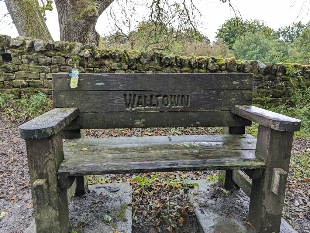
    Once we’d safely passed the slumbering ogre, me and Peg took a breather on the Walltown bench before making the final ascent to Hadrian’s Wall:

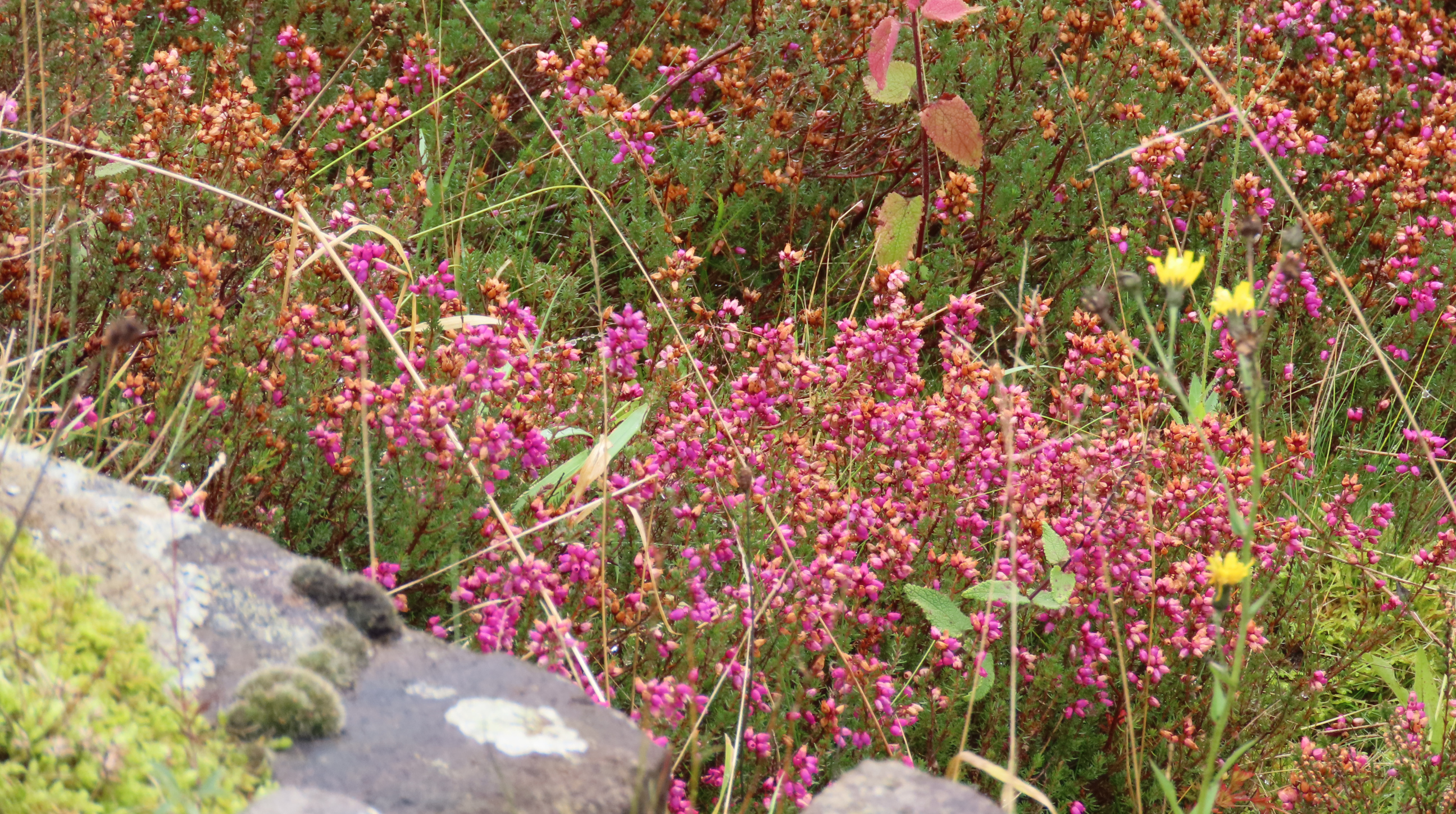
    Wild flowers marked the route:

    Drops from the recent rainfall sparkled on flower and leaf:

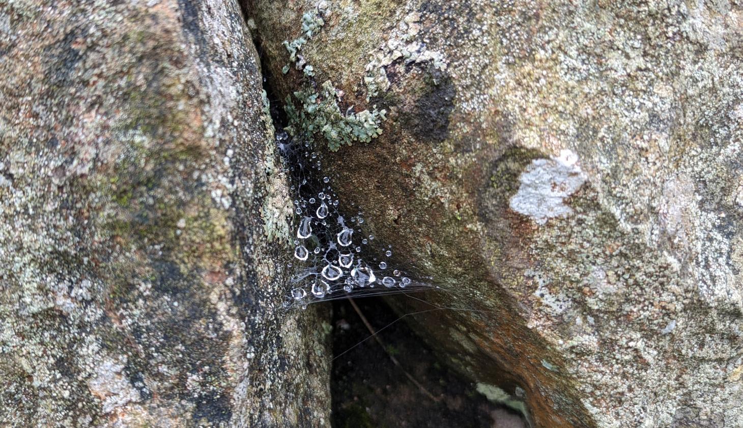
    Raindrops decorated the spiderwebs too:

    At the top of the cliff, Hadrian’s Wall runs over green velvet hills:

    The wall was built by the Roman emperor Hadrian in the second century AD, to draw a line of defence between the south of Britain, controlled by Romans, and the unconquered area to the north, roamed by the fierce Scottish clans. The wall stretches across Britain, from Wallsend on the River Tyne in the east to Bowness-on-Solway in the west.

    Adventurous souls took the high road:

    This worm found a new friend, who goes by the name of Bluebell. She confided in me that some call her Wall Flower, but she discourages that name with all her might. Me and Bluebell at her home atop Hadrian’s Wall:

    Wild flowers grab a handhold on the rocks near the wall:

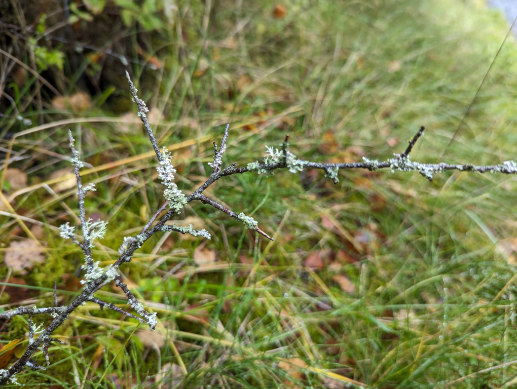
    Lichen adorns the stones on the pathway back down the hill:

    And drips off the branches of the plants:

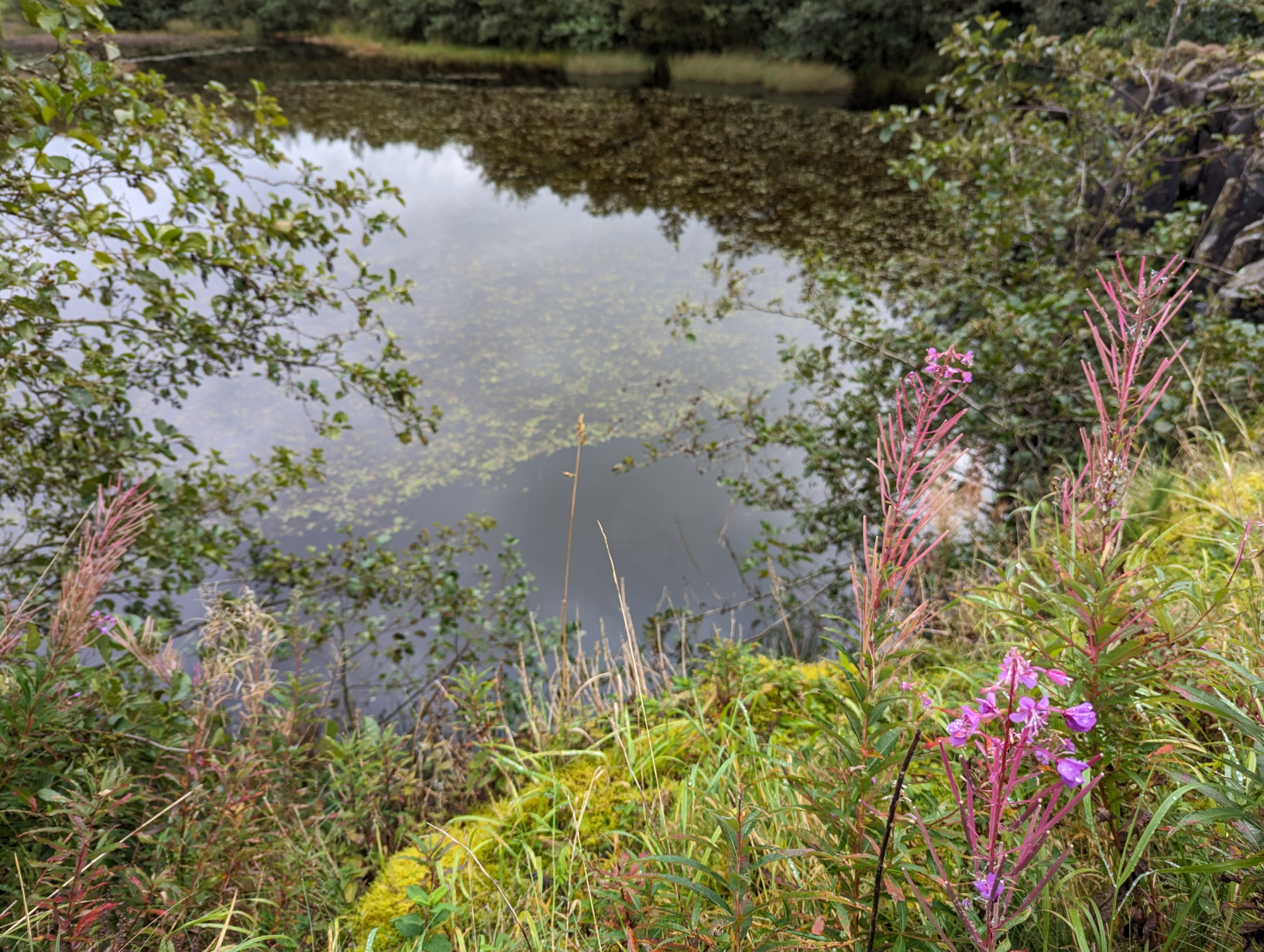
    The Walltown Quarry Pond:

    The stone dug out at Walltown Quarry was used primarily as chippings for surfacing roads. The quarry opened in 1876 and closed in 1976. After it closed, the land was filled in and landscaped to form the Walltown Country Park.

    Here’s a parting shot of Hadrian’s Wall from across the quarry pond:


  • Off road above Loch Lomond

    This is the blog of Mark Wordsworm, the travelling worm. I’m a 36-year-old bookmark (give or take a few years) and I proudly boast my own Hallmark serial number, 95 HBM 80-1. You’ll probably want to read all about me and my Travelling Companion (the TC).

    Today’s travel notes

    Me and the TC are touring bonny Scotland this week. We spent a day exploring the tracks around Loch Lomond and Loch Long in a Land Rover Defender. Our guide from 4×4 Adventures Scotland was skilled and knowledgeable, and excellent company to boot.

    The book I’m in

    Robinson Crusoe by Daniel Defoe, a tale of wonder and woe. It amuses this worm to apply analytic skills to the language and norms of the day, while at the same time enjoying a good yarn.

    Cautionary travel tales seem to appeal to the TC while herself travelling.

    Travel tips

    Come rain or shine, take a day off your busy travel schedule to soak up the beauty of the natural surrounds.

    The photos

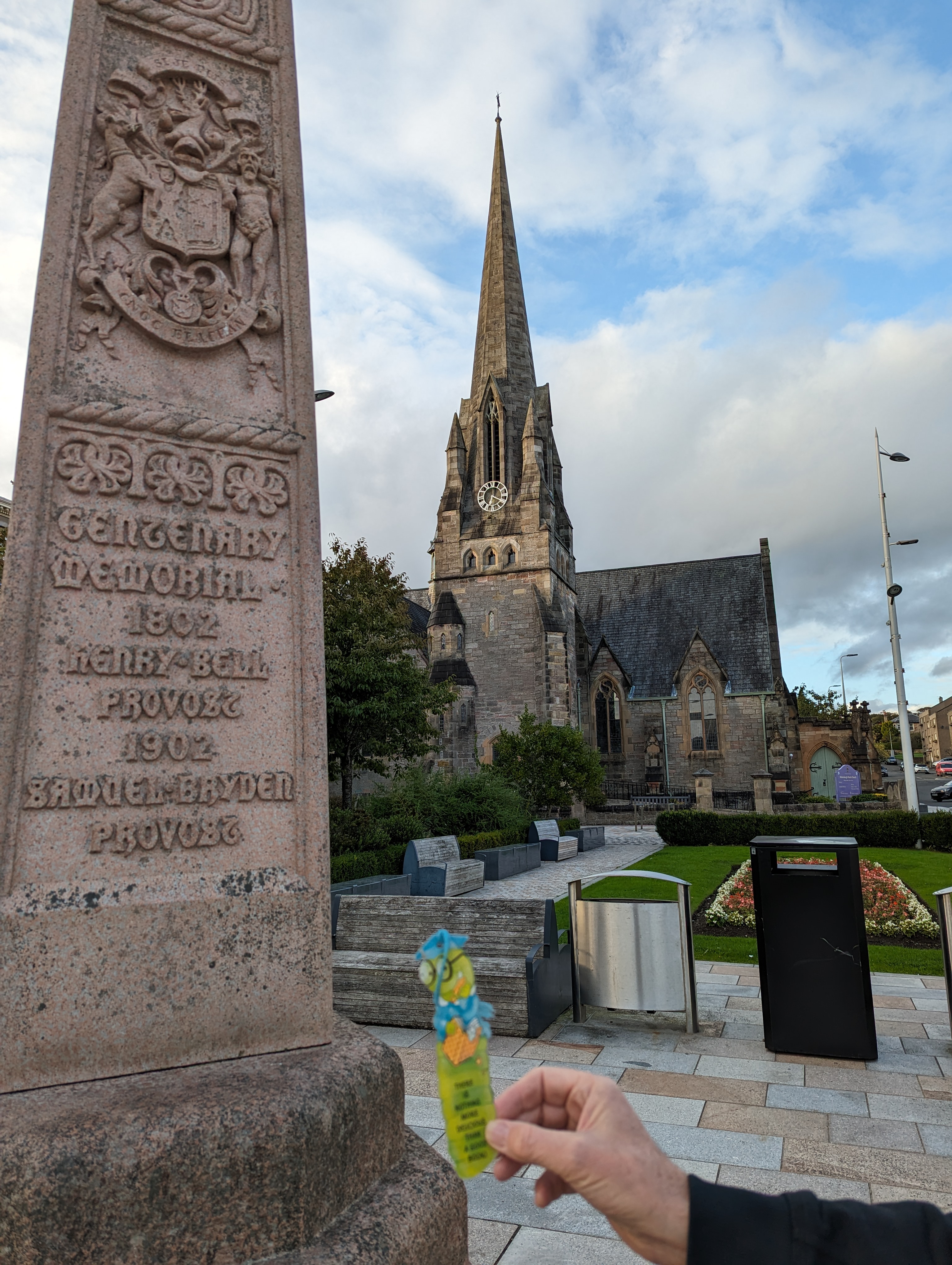
    Me in Helensburgh alongside a memorial to Henry Bell, provost of the town in 1802. Helensburgh lies on the shores of Gare Loch, near Loch Lomond. Henry Bell was the first person to found a steamship business on British waters:

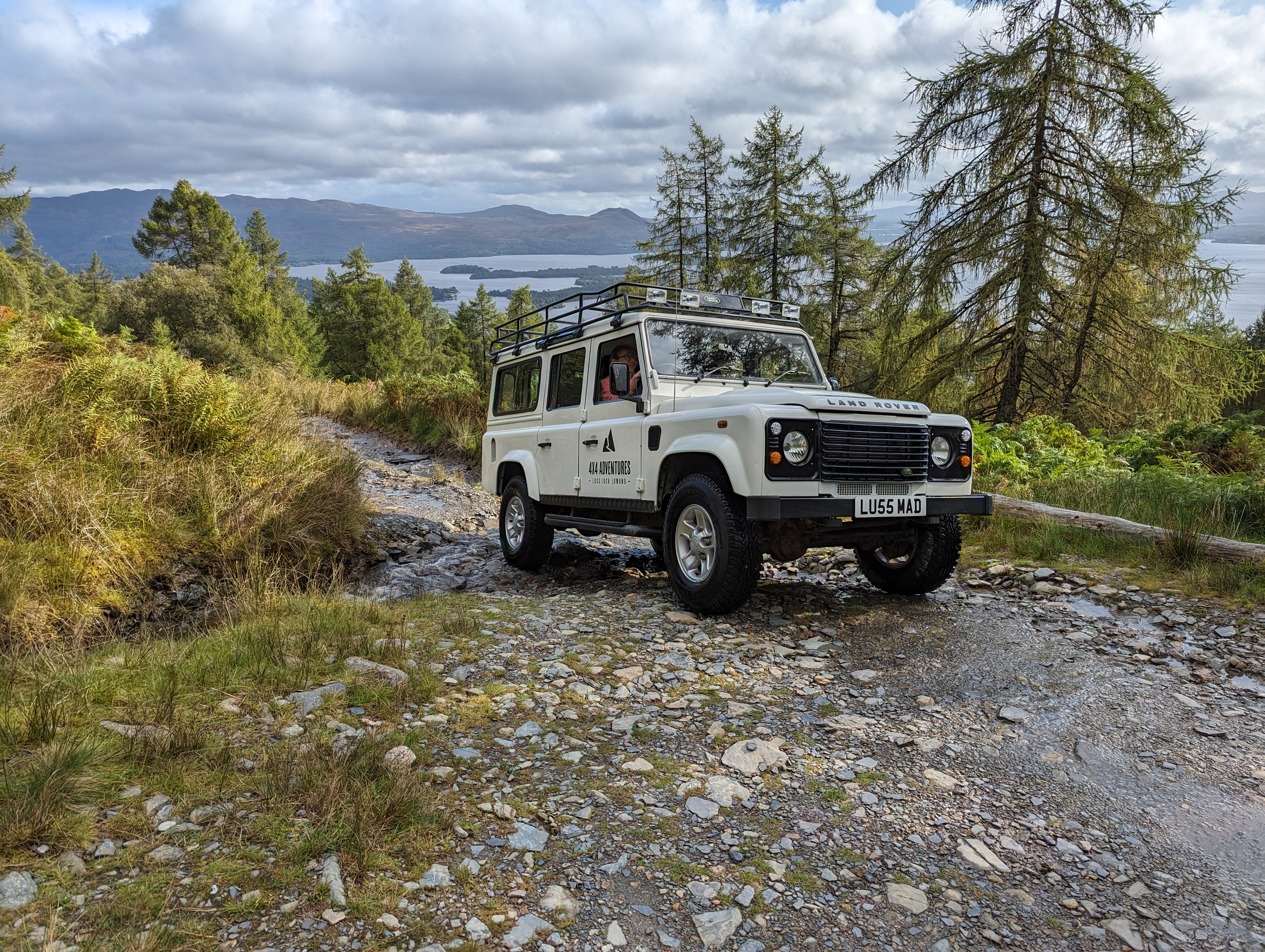
    The TC organised a full-day off road adventure with 4×4 Adventures Scotland. The company provided a Land Rover Defender and a local guide named Alan, who knew the off road tracks around Loch Lomond and surrounds like the back of his hand.

    The vehicle was a Land Rover Defender 110 with a 2.4 litre engine, 33″ all-terrain tyres, a manual gear box, and differential lockers front and back. Approximately ten years old, she’d earlier served as an ambulance. She bore the name LU55 MAD, of which the first part harks to her base in the town of Luss and the second part harks to her nature. Show her a steep, rocky hill with a stream of water coursing down it, and she jumped at the challenge of getting to the top:

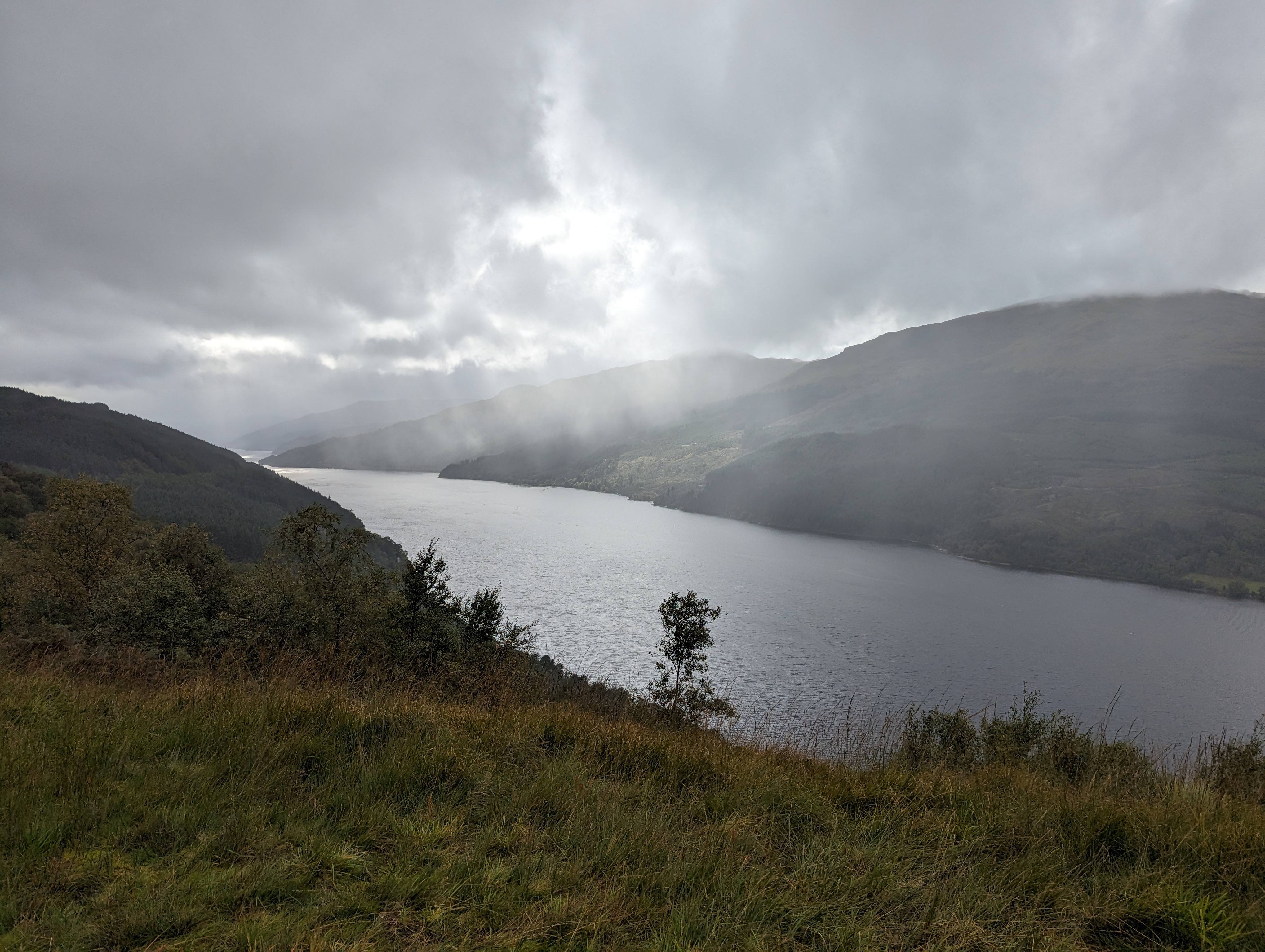
    The weather did us proud, throwing us an abundance of mood-filled scenes. This is the gorgeous Loch Long:

    The TC, bless her cotton socks, could not restrain the Ooohs and Aaahs. This worm concedes that there was beauty to be had. In particular, these mossy knolls appealed to my delicate body type. The hillocks rise a couple of feet in height and are entirely soft and spongy, with no hard rock or trunk beneath:

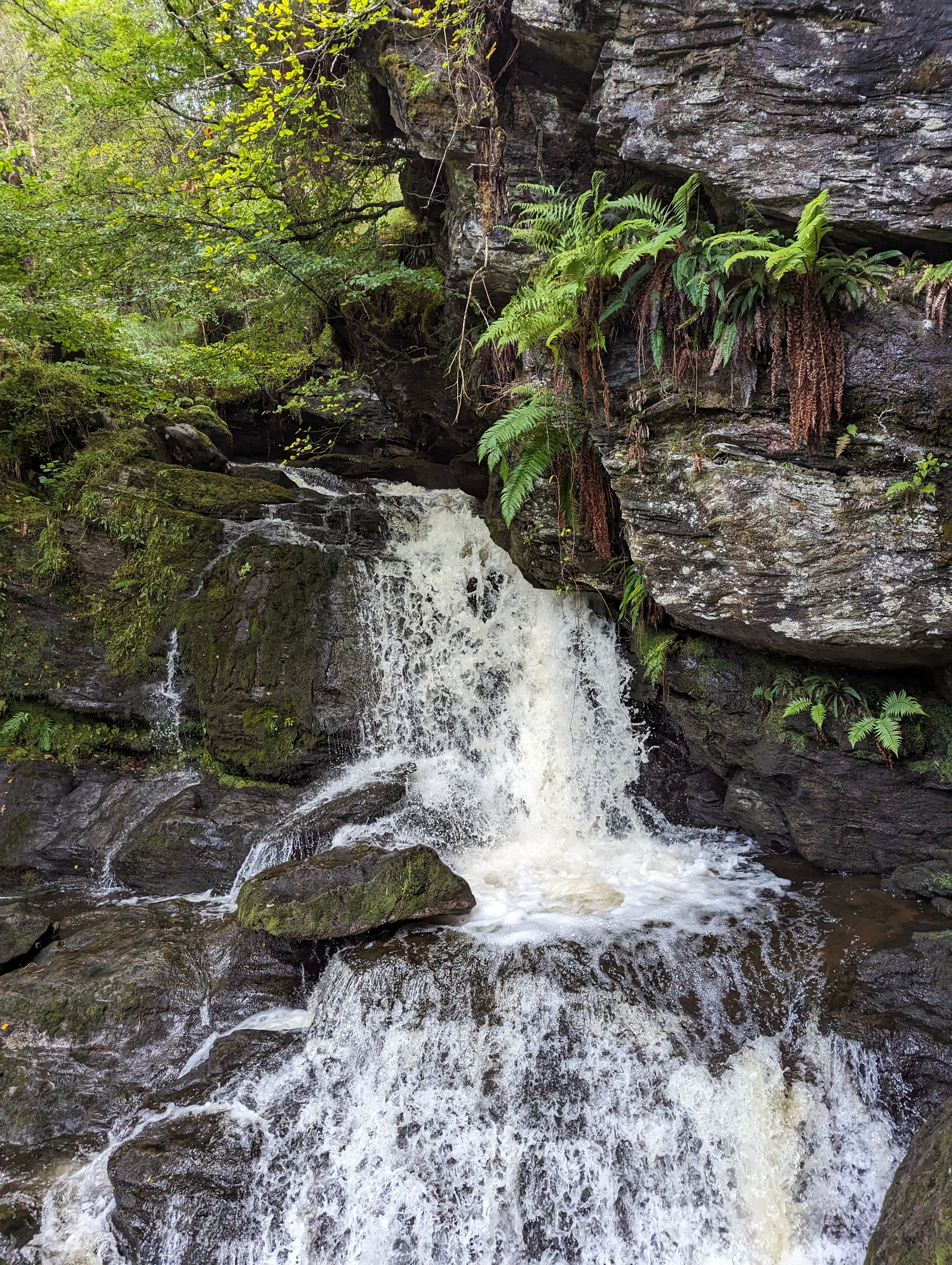
    Streams gushed down the slopes, ushered by moss and fern:

    More views of mount and loch that made the TC go Aaah. First, looking out over the islands in the wide part of Loch Lomond:

    To finish off, here’s the track running along Loch Long:


  • Switzerland’s Klausen Pass in the clouds

    This is the blog of Mark Wordsworm, the travelling worm. I’m a 36-year-old bookmark (give or take a few years) and I proudly boast my own Hallmark serial number, 95 HBM 80-1. You’ll probably want to read all about me and my Travelling Companion (the TC).

    Today’s travel notes

    On a rainy Saturday in late September, me and the TC drove across Klausen Pass in the Swiss Alps. The pass is about one and a half to two hours’ drive from Zurich, depending on how many scenic diversions you make.

    The book I’m in

    Bleed for Me, by Michael Robotham. This worm is enjoying the book. It’s a good example of the author’s combination of believable characters caught up in a difficult situation.

    Travel tips

    It’s chilly in the Swiss Alps even in autumn. Layer up to enjoy the cold!

    The photos

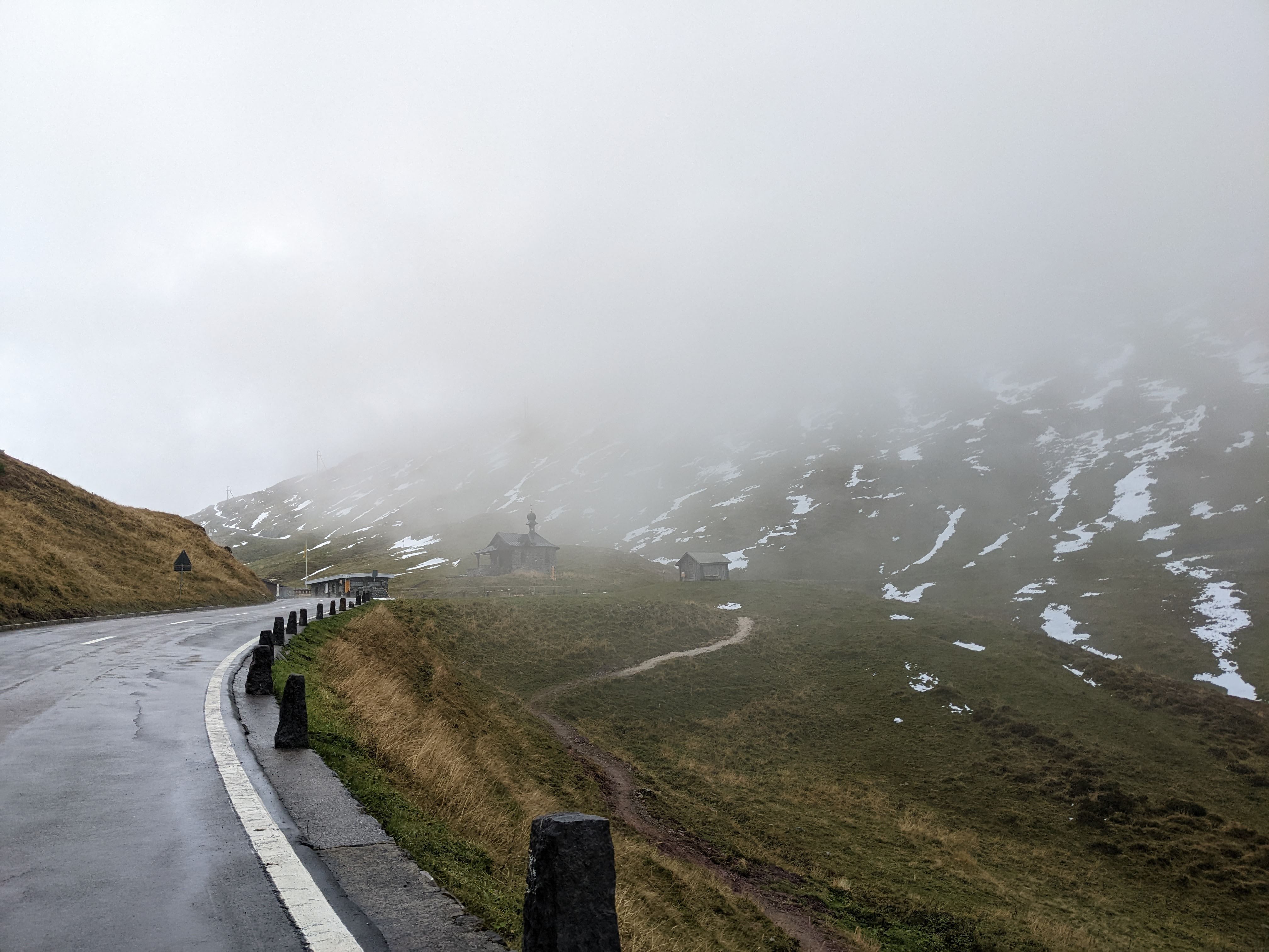
    Me at the little chapel at the top of Klausen Pass:

    The chapel is the Kapelle Bruder Klaus, built in 1717. It was shrouded in mist and surrounded by streaks of snow:

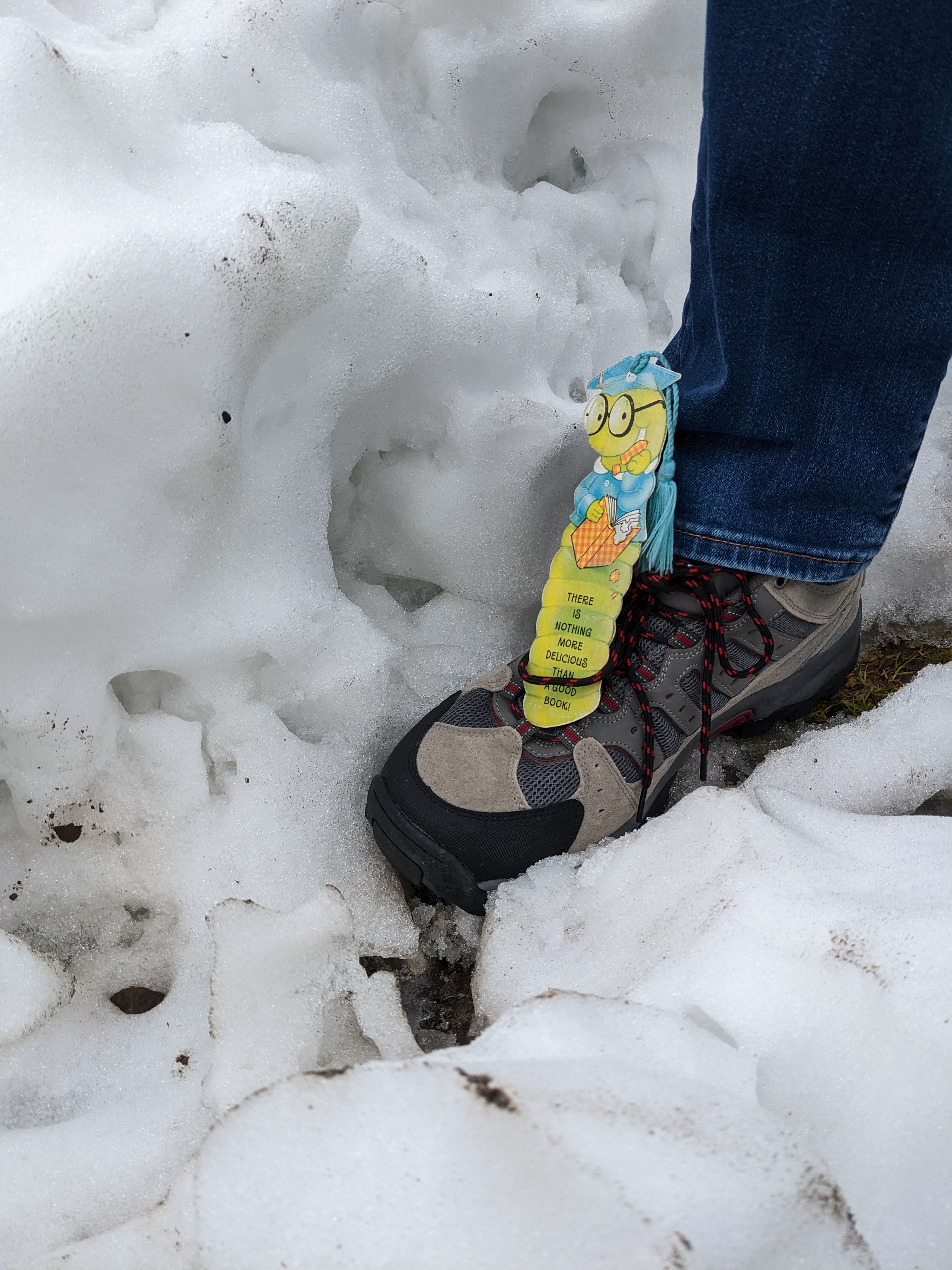
    We were lucky to be in the area in September. The road is usually closed between October and May, due to the high snowfall on the pass. Me again, catching a ride on the TC’s shoe to avoid the snow pile that towered over my head:

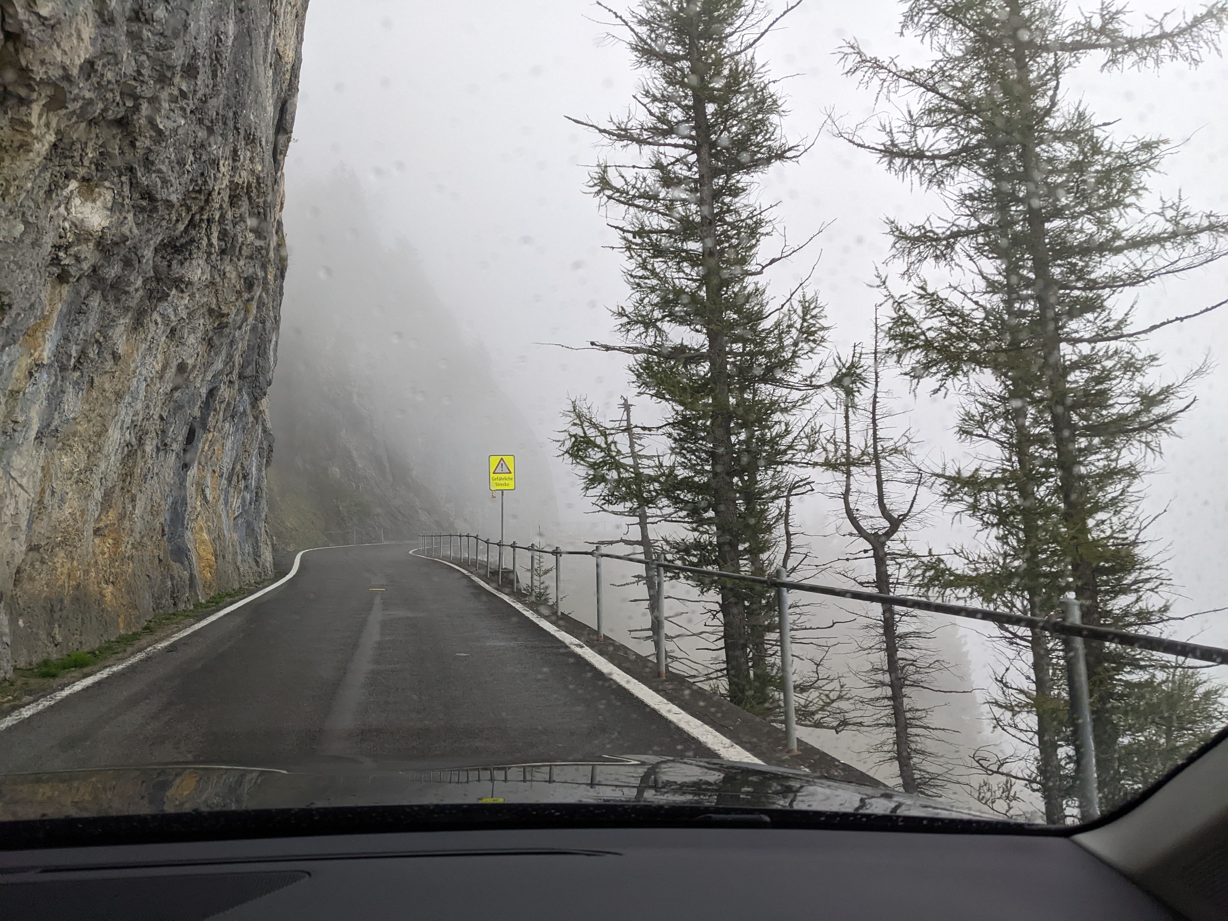
    The Klausen Pass started out as a cattle track in the Middle Ages. In the year 1196, the track was controlled by a customs office in Bürglen. The highest point of the pass is at an elevation of 1,948 metres (6,391 feet). Now a fully-tarred road, it still offers plenty of interesting sections adorned with danger signs like this one remarking that we were approaching a Gefärliche Strecke:

    Waterfalls peeked out through the clouds:

    The views were gorgeous, of green valleys and toy-town settlements:

    Cows clanged musically as they grazed:

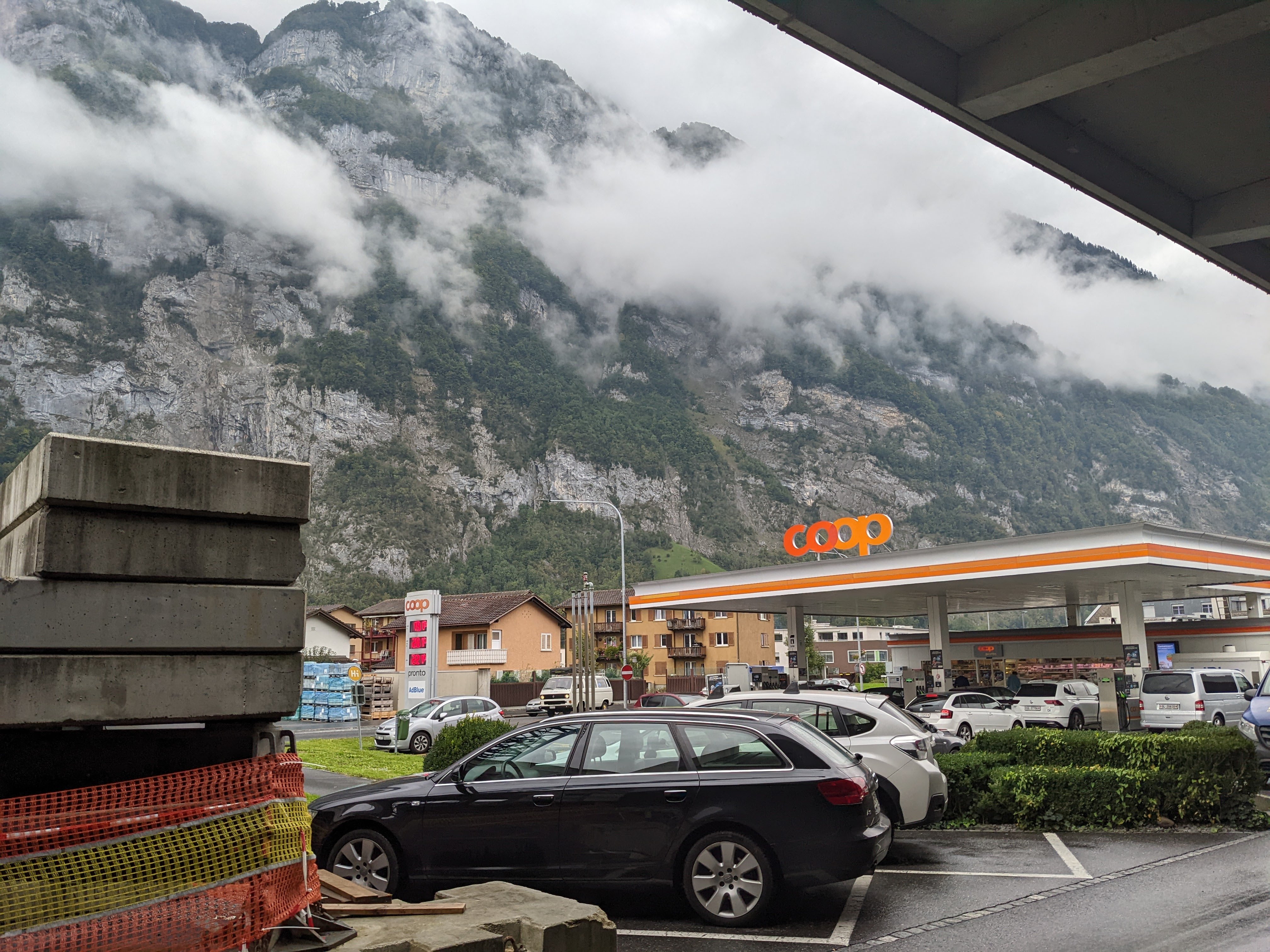
    When we reached the bottom of the pass, we stopped for fuel. The TC, bless her cotton socks, was entranced by the way the mountains loomed all round. “They just go pffffrrrt, straight up!” she remarked.

    That’s all for today, folks.