Travelling Worm

A bookworm's travelogue

Tag: travel

  • Dunfermline Abbey and City Chambers, Scotland

    This is the blog of Mark Wordsworm, the travelling worm. I’m a 36-year-old bookmark (give or take a few years) and I proudly boast my own Hallmark serial number, 95 HBM 80-1. You’ll probably want to read all about me and my Travelling Companion (the TC).

    Today’s travel notes

    Me and the TC spent a few hours in Dunfermline this week. Dunfermline is a city in the county of Fife, Scotland, about three miles from the Firth of Forth. (This worm wrote about the bridges over the Firth of Forth in a previous post.)

    The book I’m in

    Imminent Peril, a Sasha McCandless adventure by Melissa F. Miller. The TC loves this series about a lawyer detective who attracts trouble and deals with it fearlessly.

    Travel tips

    Park as soon as you find a spot that’s close enough to your destination.

    The photos

    Looking across the rooftops to the Dunfirmline City Chambers:

    Dunfirmline City Chambers was built in the late 1870s. It combines French, Gothic and Scots baronial architectural styles into a pleasing medley. The clock tower stands out as a feature of the town.

    The clock caused a bit of drama in November 2022, when one of its hands became loose during strong winds. The town closed the roads around the tower until the clock was rendered safe.

    This picture shows the building from the other side of a nearby grave yard:

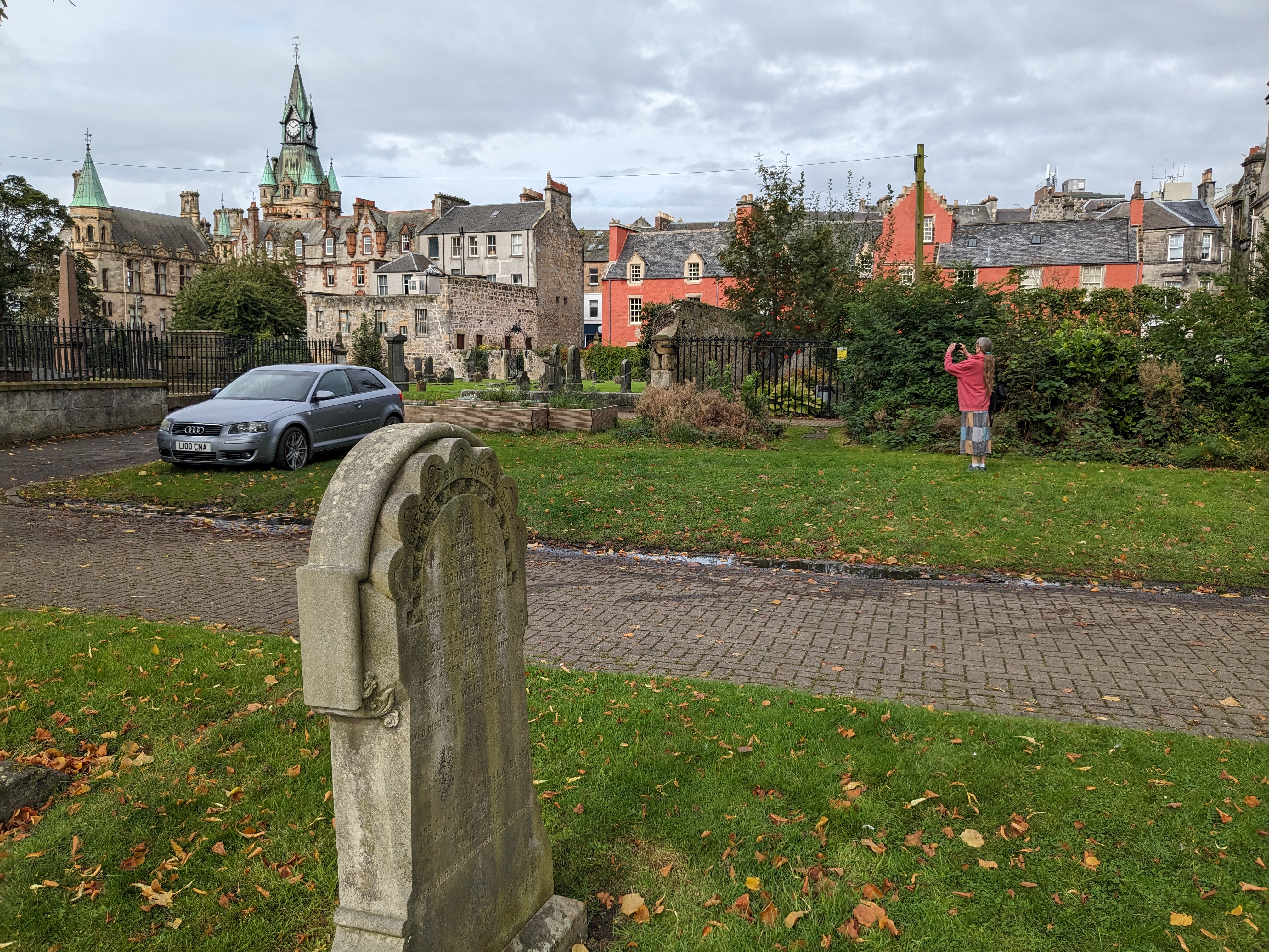
    If you’re keen of eye, you might notice that the next picture shows a rare glimpse of the TC herself. It also includes a partial view of Abbot House, Dunfermline’s oldest house, known locally as the Pink Hoose:
    Dunfermline Abbey has been home to Christian worshippers for more than 1000 years:
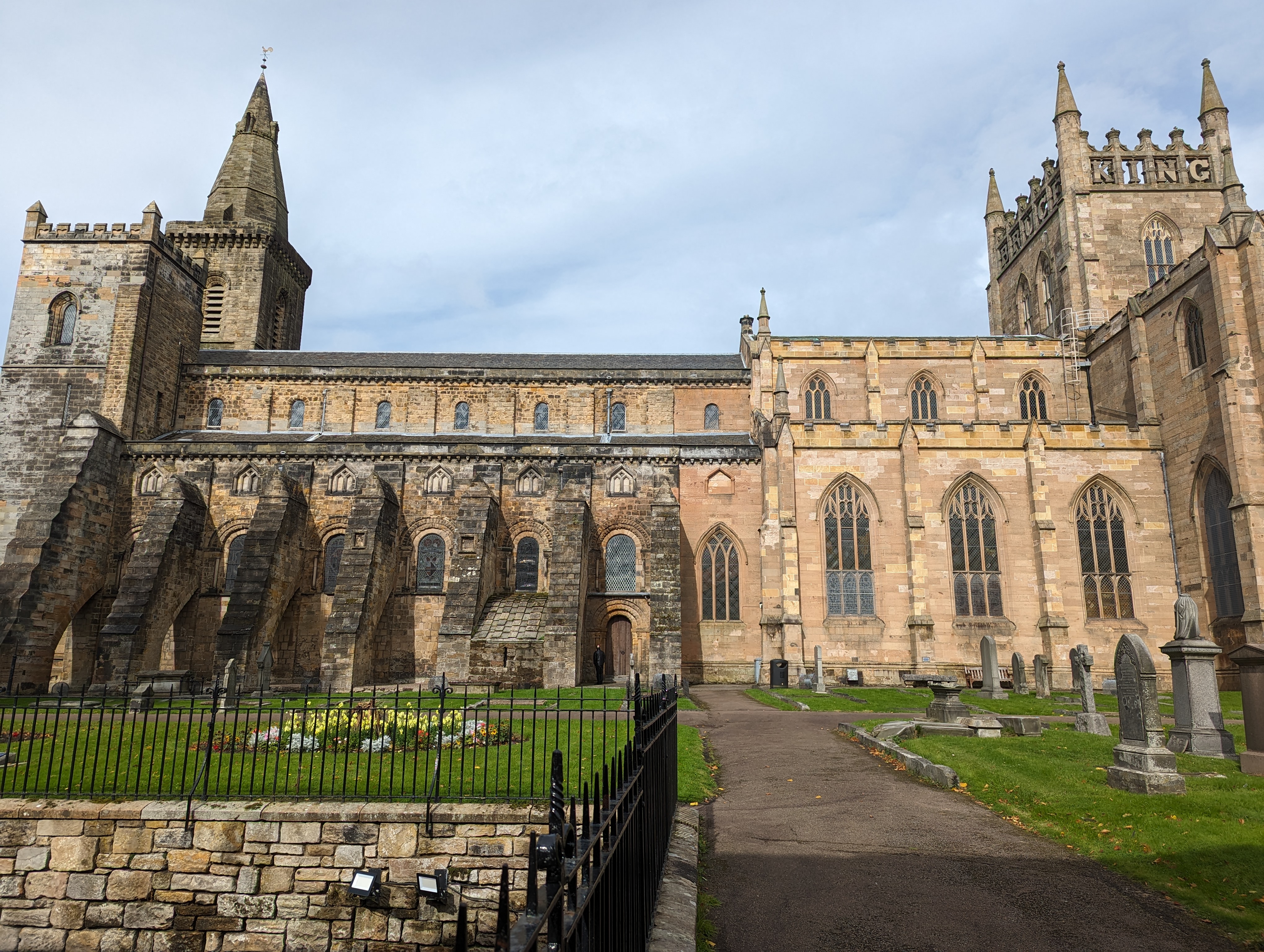
    The building has two distinct halves. On the left of the picture (the western half) is the Benedictine Abbey, founded by Queen Margaret in the eleventh century. Margaret arrived in Dunfermline in 1068, following the defeat of the English at the Battle of Hastings in 1066. She married King Malcolm in 1070 and founded Dunfermline Abbey in 1072.

    On the right (the eastern half) is the New Abbey Church, constructed in the early nineteenth century. Robert the Bruce is buried under this half of the church. The letters that you see in the balustrade of the square tower spell out “BRUCE KING”.

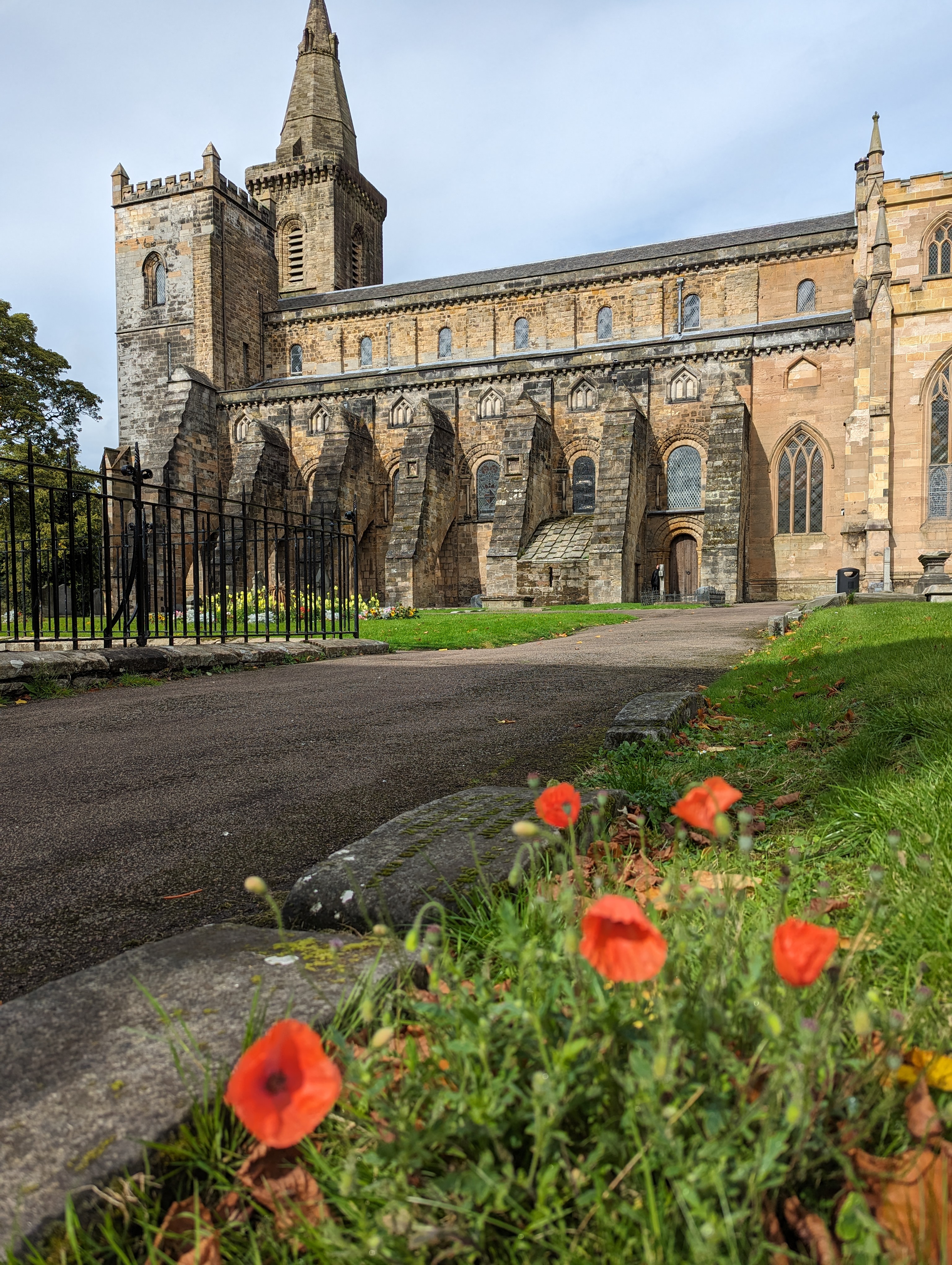
    Here’s another view of the older part of the abbey:
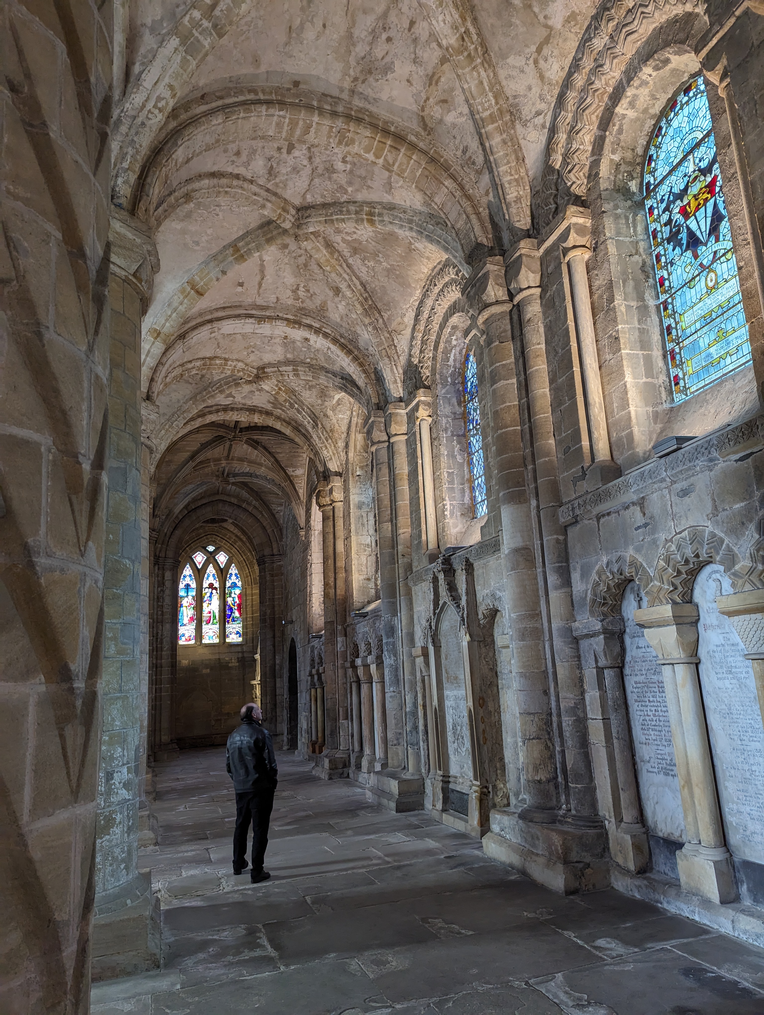
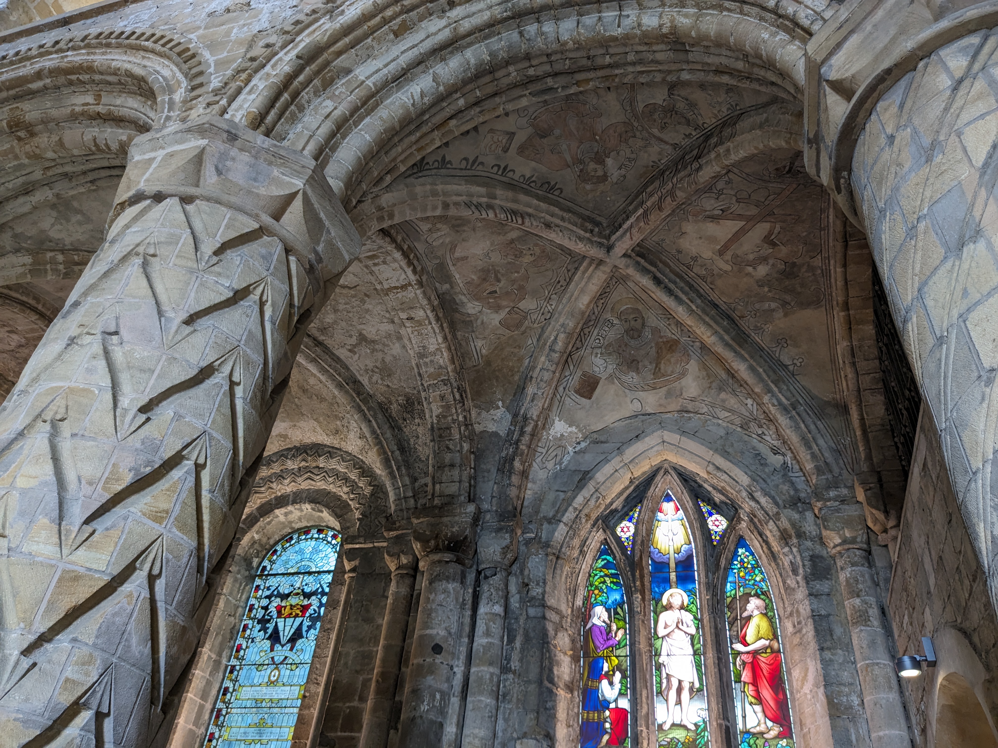
    Inside the abbey, one of the arched ceilings still has the early frescoes of the apostles:
    More scenes from inside the old abbey:
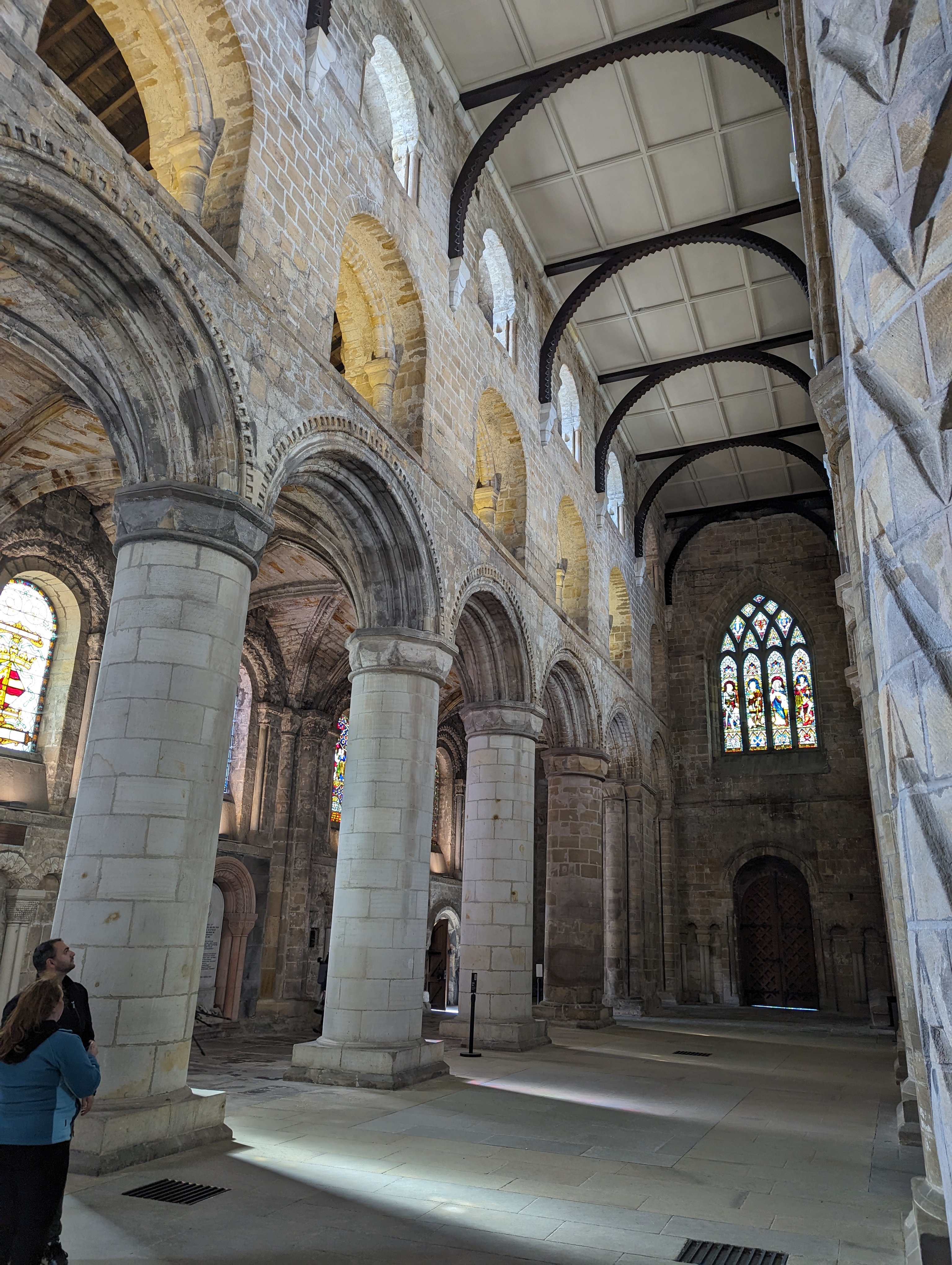
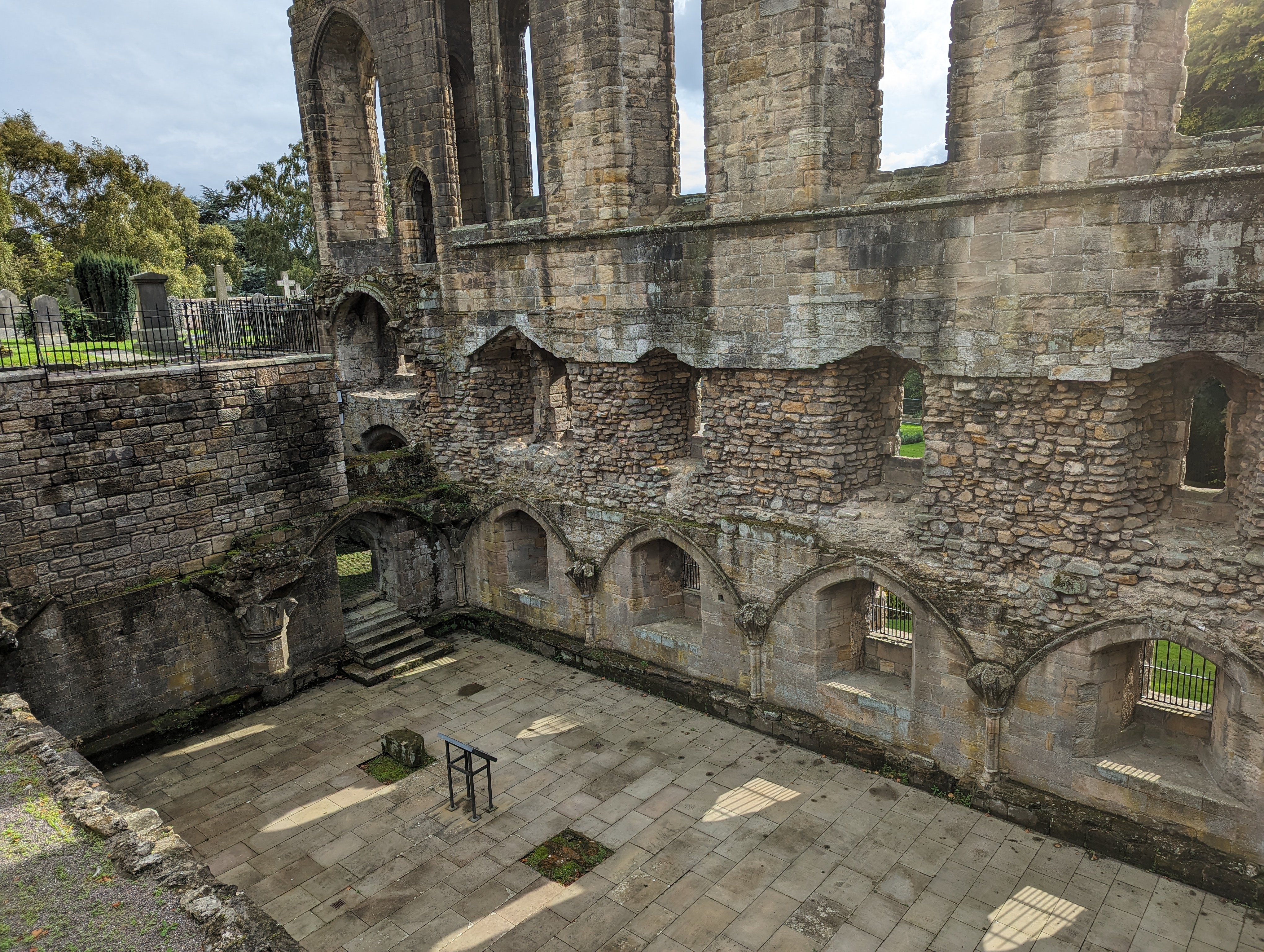
    In the grounds of the abbey lie the ruins of the monastery that was built at around the same time as the old abbey, way back in the 1070s:

  • Bridges of Forth and Queensferry Crossing

    This is the blog of Mark Wordsworm, the travelling worm. I’m a 36-year-old bookmark (give or take a few years) and I proudly boast my own Hallmark serial number, 95 HBM 80-1. You’ll probably want to read all about me and my Travelling Companion (the TC).

    Today’s travel notes

    Me and the TC are touring bonny Scotland this week. We spent a day in Queensferry on the Firth of Forth. This worm was much taken by the bridges that cross the wide waters of the firth.

    Is this stretch of water called the Forth of Firth or the Firth of Forth, you might ask? And what do those two words mean? The water’s name is the Firth of Forth. “Firth” is a Scottish word, of similar origin to the Norwegian “fjord”, meaning a coastal inlet. “Forth” is the name of the river.

    The book I’m in

    Imminent Peril, a Sasha McCandless adventure by Melissa F. Miller. The TC loves this series about a lawyer detective who attracts trouble and deals with it fearlessly.

    Travel tips

    Bridges carry us across areas that would otherwise be tricky. They can be beautiful and amazing feats of engineering too.

    Recommended restaurant

    Scott’s Bar and Restaurant, Port Edgar Marina, Shore Rd, Queensferry. Friendly, professional service and excellent food.

    The photos

    A rainbow appeared over the Forth Bridge while we were enjoying dinner in South Queensferry:

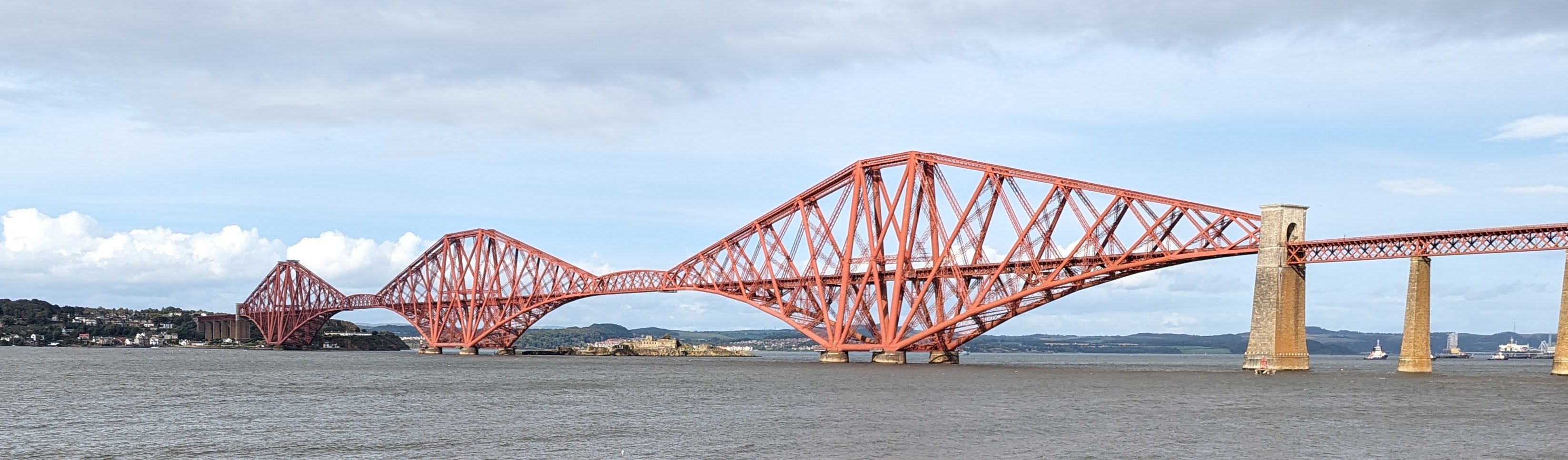
    Dating from its opening in 1890, the Forth Bridge is the oldest of three bridges that cross the firth at Queensferry. It’s used only by railway trains — no road traffic, cyclists, or pedestrians. Due to its revolutionary engineering, the Forth Bridge has been designated a UNESCO World Heritage Site. Until 1919, it was the world’s longest cantilever bridge (that is, a structure made of horizontal projections that are supported only at one end) and was heralded as the first major steel structure to be built anywhere in the world. In 1919, a bridge in Canada took over the claim to be the longest cantilever span in the world.

    The next picture shows all three bridges that cross the Firth of Forth at Queensferry. On the left is the Queensferry Crossing. In the middle is the Forth Road Bridge. And in the distance on the right is one end of the Forth Bridge:

    Here’s another view of the Forth Bridge, this time without the rainbow:

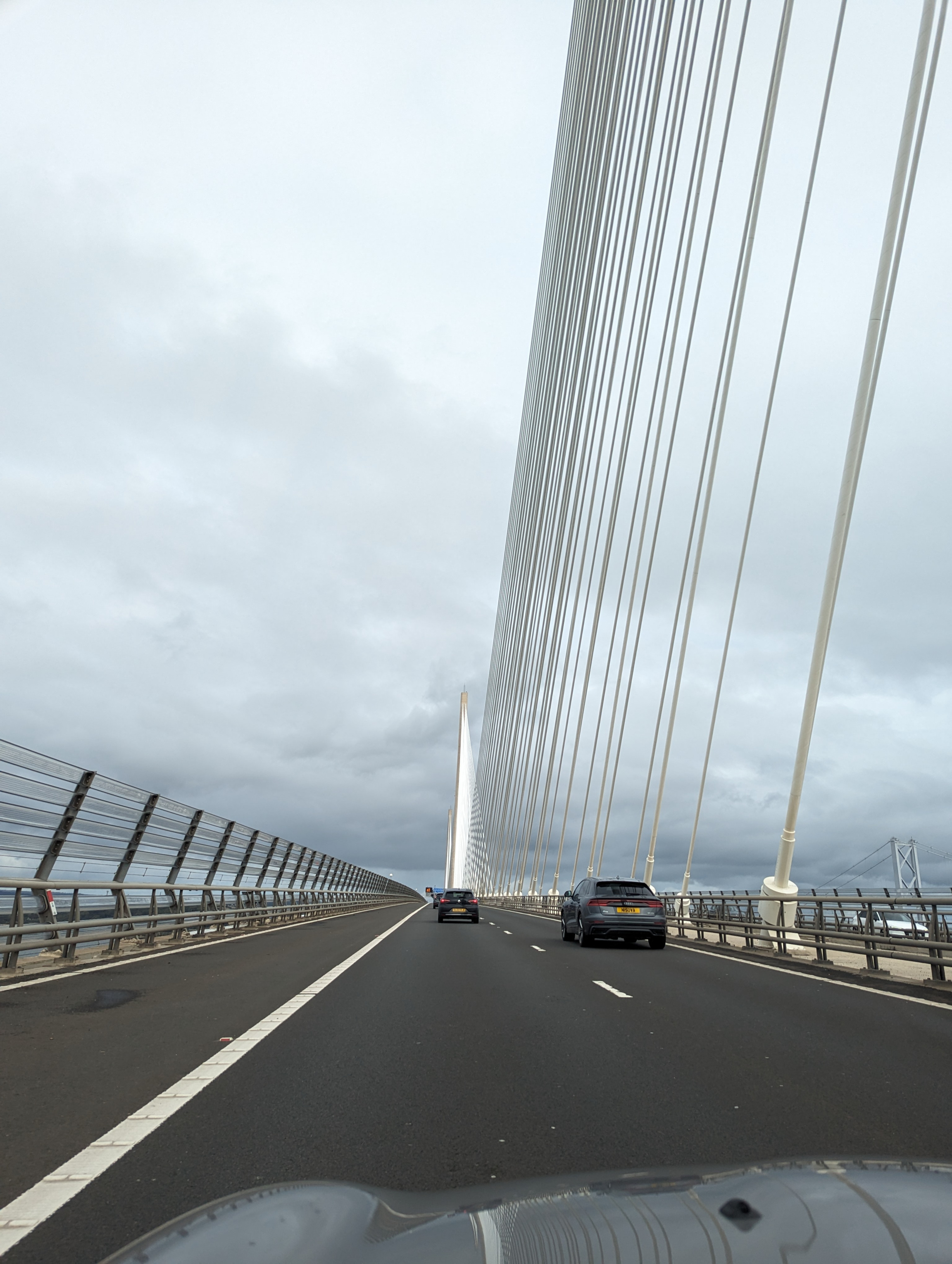
    We crossed the firth by car on the Queensferry Crossing Bridge. This is the newest of the three bridges. It opened in 2017. In the morning light, the clusters of cables around the bridge’s three towers glowed like white torches:

    As we drew closer, each glowing shaft of light resolved into multiple strands of cable:

    The third of the three bridges is the Forth Road Bridge, stretching across the river between the other two. It opened in 1964, and is an impressive long-span suspension bridge. Its use is now restricted to pedestrians, cyclists, and public transport. Here you see part of the Forth Road Bridge, with the Forth Bridge behind and below it:


  • Off road above Loch Lomond

    This is the blog of Mark Wordsworm, the travelling worm. I’m a 36-year-old bookmark (give or take a few years) and I proudly boast my own Hallmark serial number, 95 HBM 80-1. You’ll probably want to read all about me and my Travelling Companion (the TC).

    Today’s travel notes

    Me and the TC are touring bonny Scotland this week. We spent a day exploring the tracks around Loch Lomond and Loch Long in a Land Rover Defender. Our guide from 4×4 Adventures Scotland was skilled and knowledgeable, and excellent company to boot.

    The book I’m in

    Robinson Crusoe by Daniel Defoe, a tale of wonder and woe. It amuses this worm to apply analytic skills to the language and norms of the day, while at the same time enjoying a good yarn.

    Cautionary travel tales seem to appeal to the TC while herself travelling.

    Travel tips

    Come rain or shine, take a day off your busy travel schedule to soak up the beauty of the natural surrounds.

    The photos

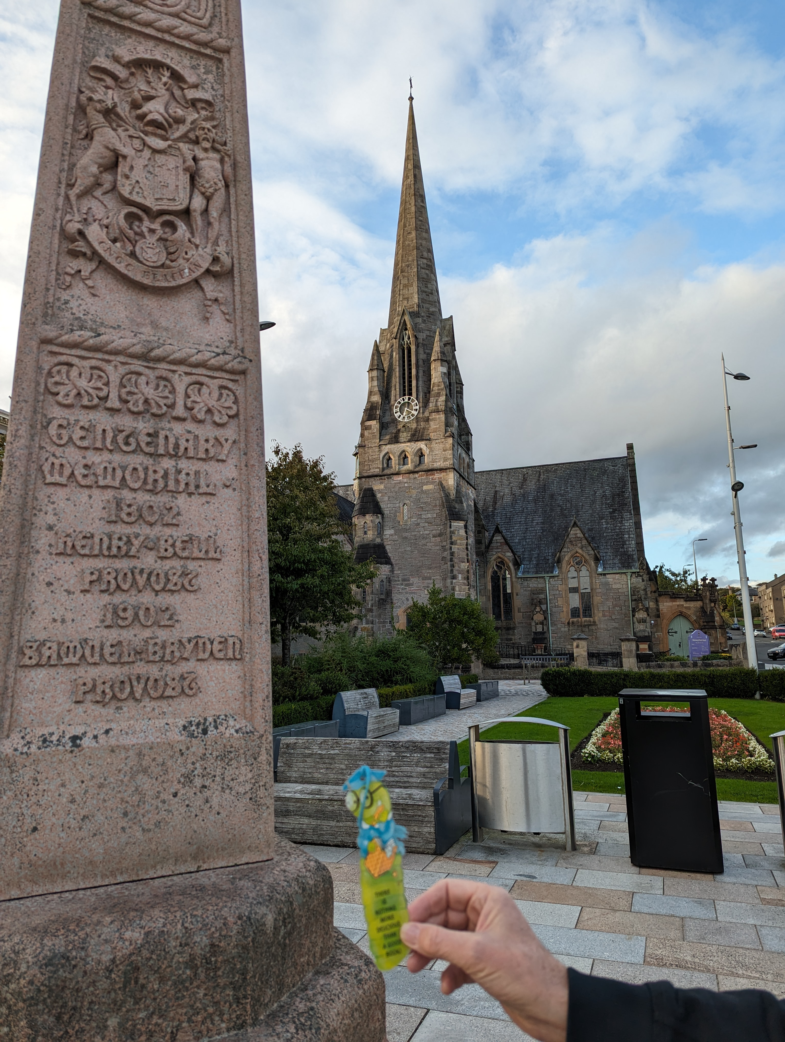
    Me in Helensburgh alongside a memorial to Henry Bell, provost of the town in 1802. Helensburgh lies on the shores of Gare Loch, near Loch Lomond. Henry Bell was the first person to found a steamship business on British waters:

    The TC organised a full-day off road adventure with 4×4 Adventures Scotland. The company provided a Land Rover Defender and a local guide named Alan, who knew the off road tracks around Loch Lomond and surrounds like the back of his hand.

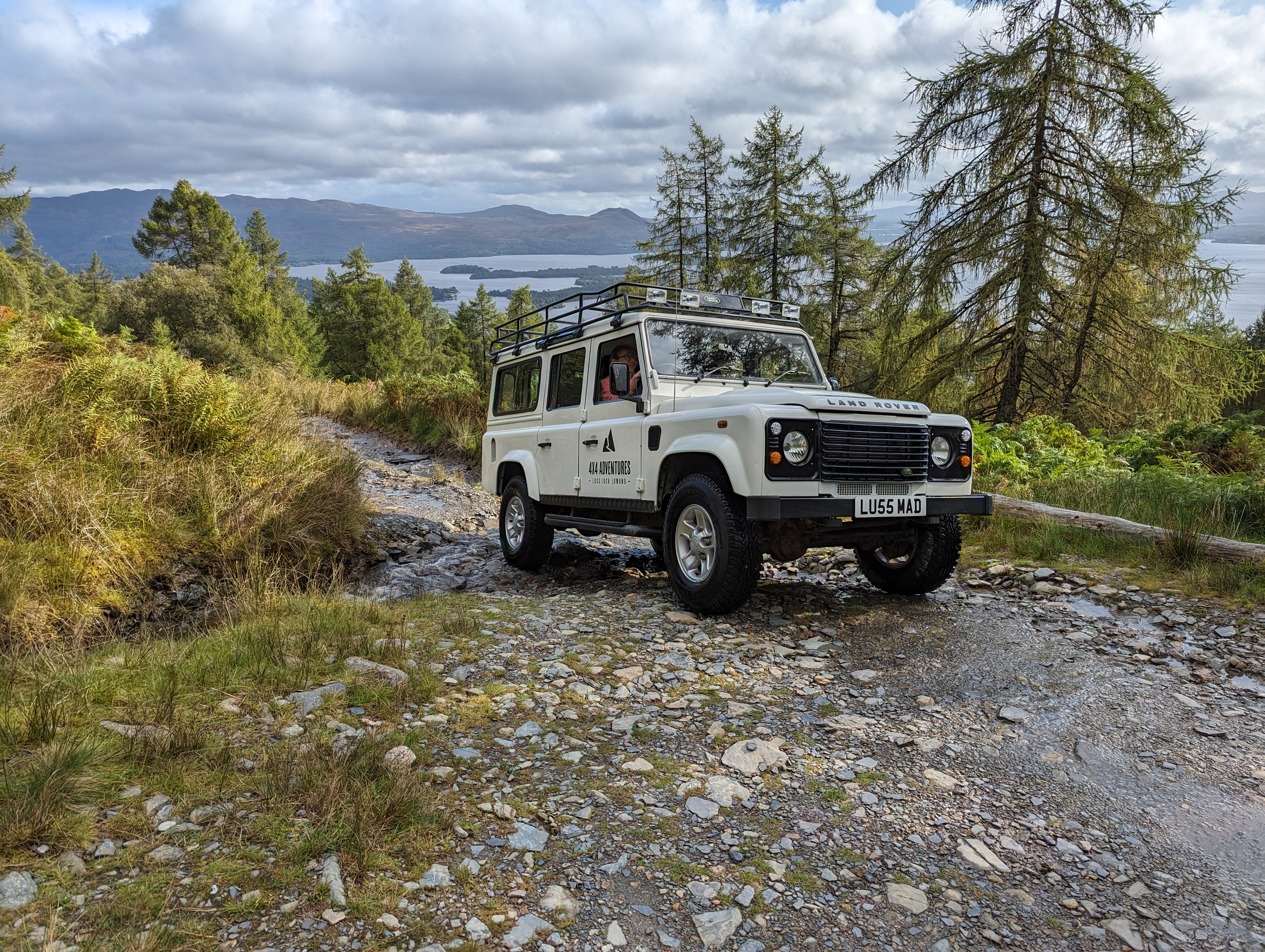
    The vehicle was a Land Rover Defender 110 with a 2.4 litre engine, 33″ all-terrain tyres, a manual gear box, and differential lockers front and back. Approximately ten years old, she’d earlier served as an ambulance. She bore the name LU55 MAD, of which the first part harks to her base in the town of Luss and the second part harks to her nature. Show her a steep, rocky hill with a stream of water coursing down it, and she jumped at the challenge of getting to the top:

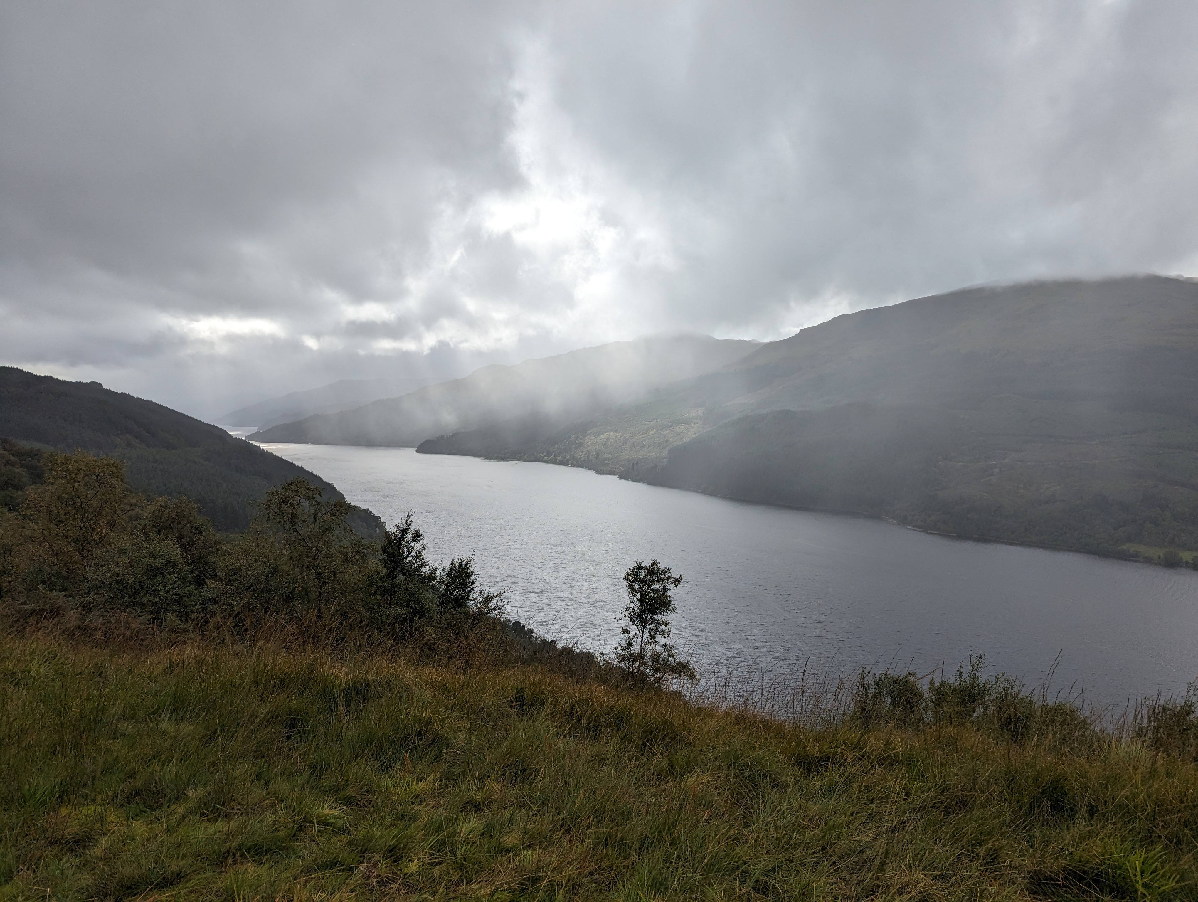
    The weather did us proud, throwing us an abundance of mood-filled scenes. This is the gorgeous Loch Long:

    The TC, bless her cotton socks, could not restrain the Ooohs and Aaahs. This worm concedes that there was beauty to be had. In particular, these mossy knolls appealed to my delicate body type. The hillocks rise a couple of feet in height and are entirely soft and spongy, with no hard rock or trunk beneath:

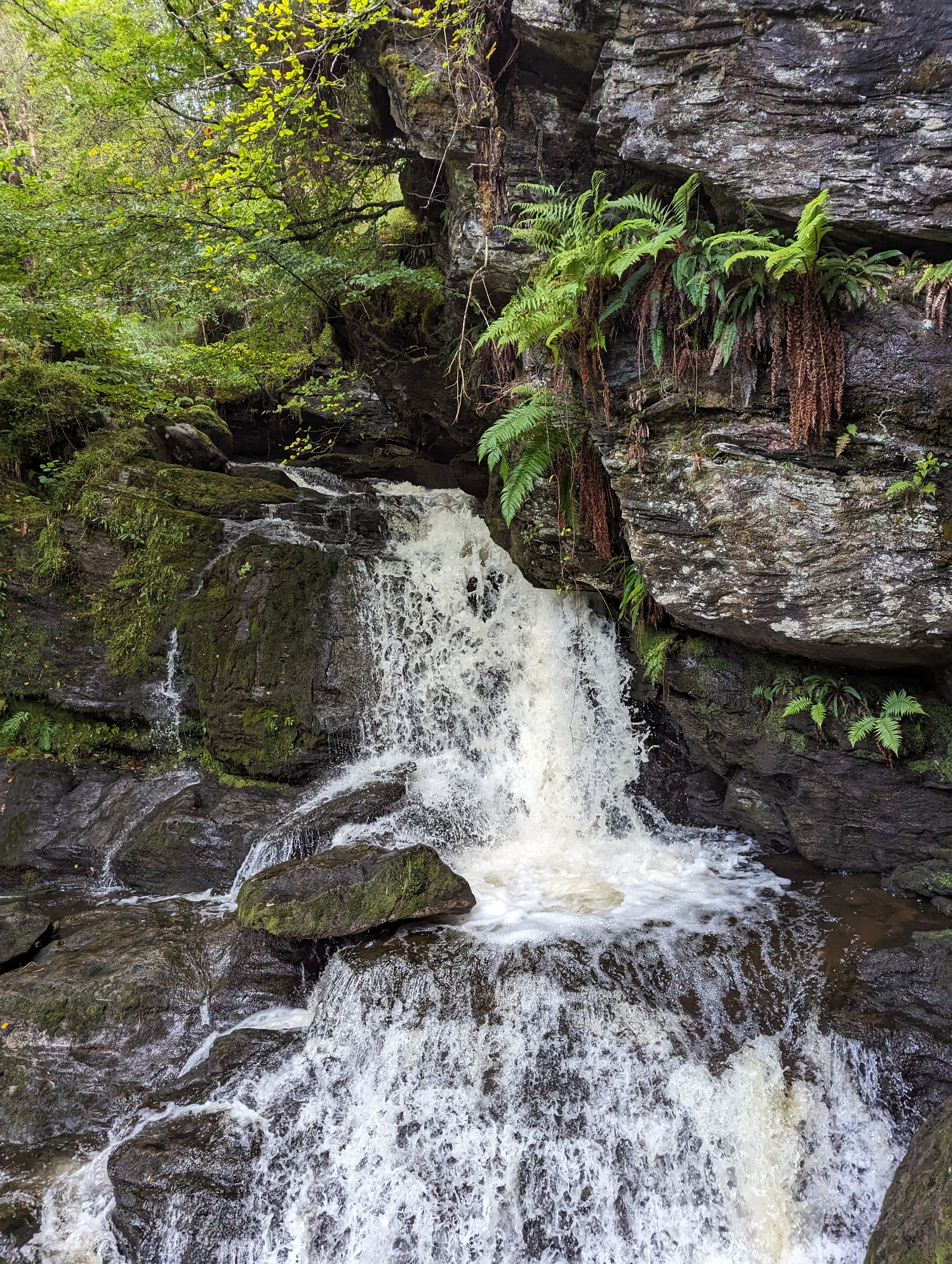
    Streams gushed down the slopes, ushered by moss and fern:

    More views of mount and loch that made the TC go Aaah. First, looking out over the islands in the wide part of Loch Lomond:

    To finish off, here’s the track running along Loch Long:


  • Atop Table Mountain in the clouds

    This is the blog of Mark Wordsworm, the travelling worm. I’m a 36-year-old bookmark (give or take a few years) and I proudly boast my own Hallmark serial number, 95 HBM 80-1. You’ll probably want to read all about me and my Travelling Companion (the TC).

    Today’s travel notes

    Me and the TC spent a few days recently in Cape Town, South Africa. A must-do is the trip via cable car to the top of Table Mountain. The day we’d scheduled for the outing dawned cloudy and cold. We went up the mountain anyway. The TC is like that. Tomorrow may never come, she opines, and even if it does, there’s no guarantee it’ll turn out better than today.

    The book I’m in

    A Slim Green Silence, by Beverly Rycroft. This is a beautifully-written and engaging read. The author melds Afrikaans phrases with English prose, and a dash of Xhosa here and there. For a reader who’s lived in South Africa, it’s a pleasure to experience through the book the mix of cultures in a small South African town.

    Travel tips

    If you have a clear day, use it to go up the mountain. Even if you don’t have a clear day, go up the mountain anyway.

    The photos

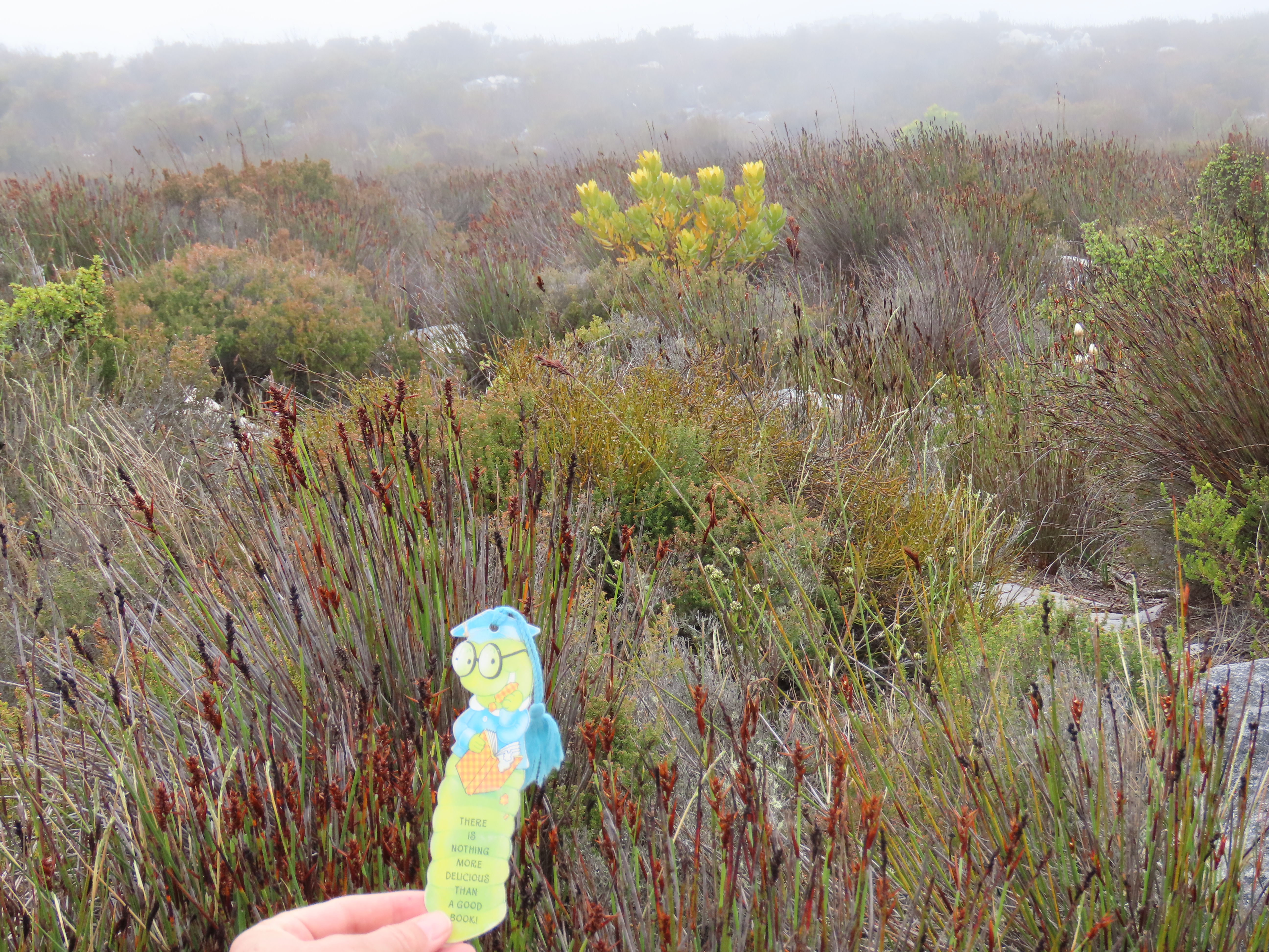
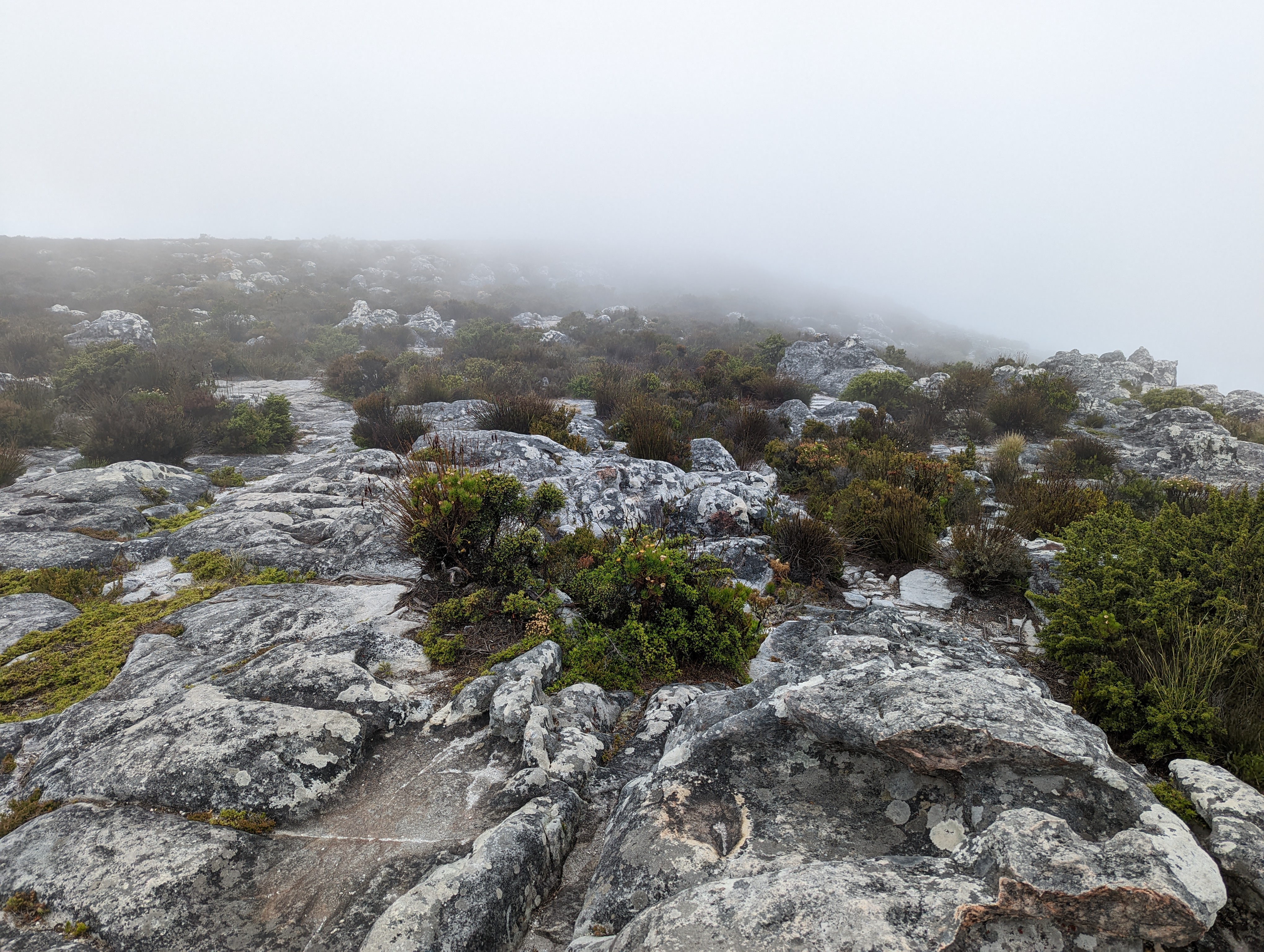
    Me among the fynbos atop Table Mountain:

    Fynbos is the name given to the vegetation in this area of Southern Africa. It’s uniquely hardy and beautiful, and it feeds and shelters the animals and birds of the mountain too.

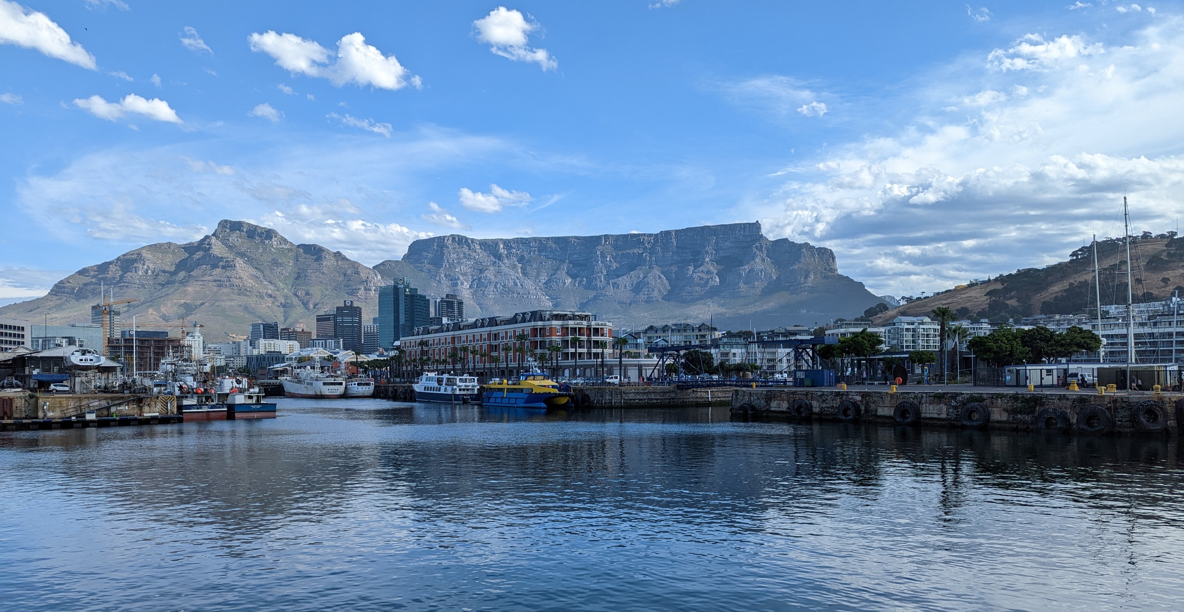
    The next shot shows Table Mountain in all its splendour, photographed from The Waterfront at the Cape Town harbour. On the left of the photograph is the mountain named Devil’s Peak. In the middle is Table Mountain itself, with the hotels and docks of the Waterfront in the foreground. The hill on the right is Signal Hill:

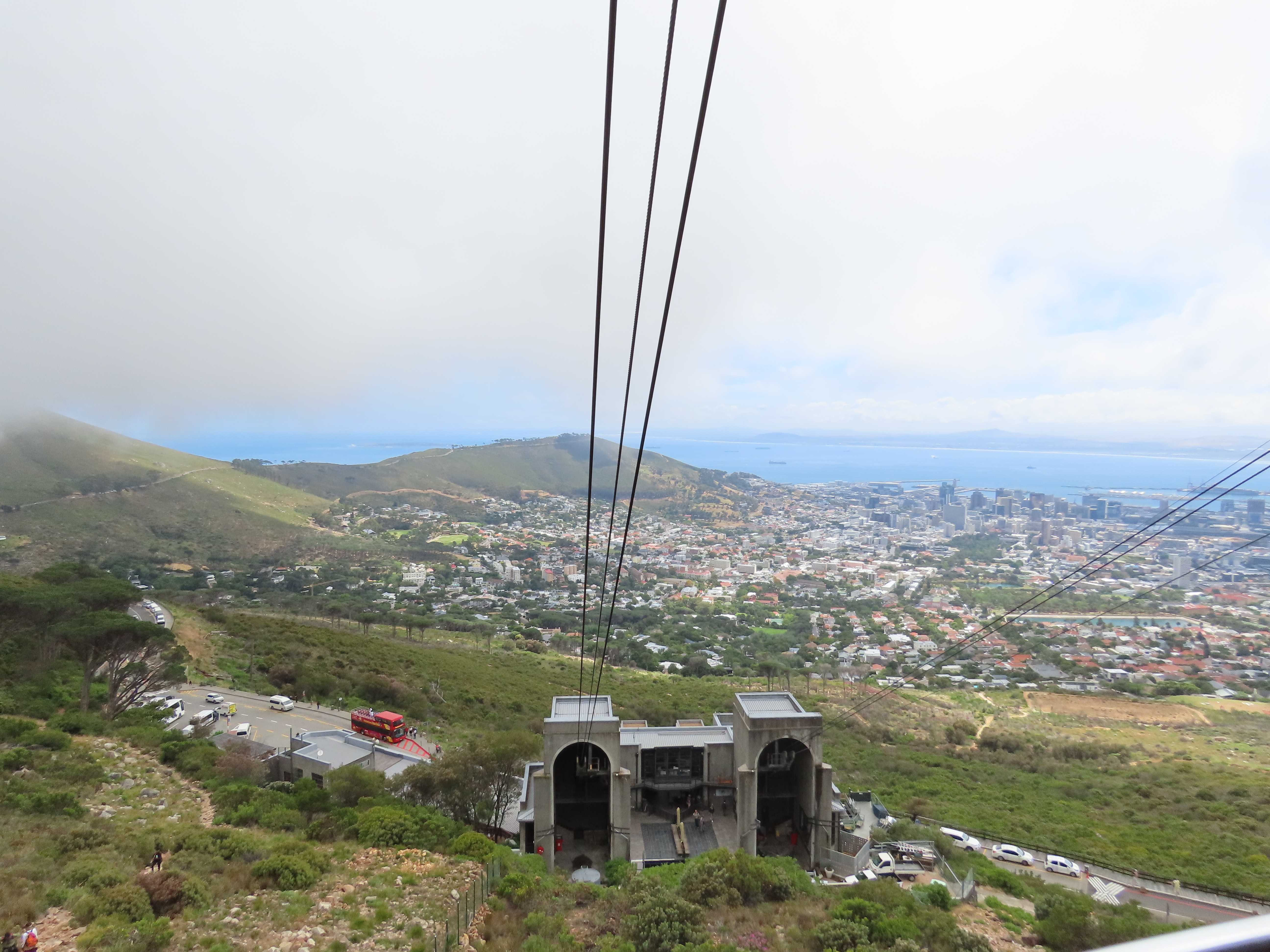
    To get to the top of the mountain, we drove through the city, up Kloof Nek road through Tamboerskloof and Oranjezicht, until we reached the lower cable station. From that vantage point, we saw the city of Cape Town and suburbs laid out below us:

    The lower station was clear and sunny as we started our ride to the top:

    There are two cable cars, as you can deduce from the two housings in the station. They travel at the same time, one on its way up the mountain and the other on its way down.

    The ride up was lovely, though a little eerie when we entered the cloud layer and the rest of the world disappeared. We couldn’t even see the hulking huge mountain that was just outside the window. I’d show you a photo, but all you’d see is a blank wall of grey.

    What’s it like on the top of the mountain when cloud is rolling up from below? Watch this video to find out:

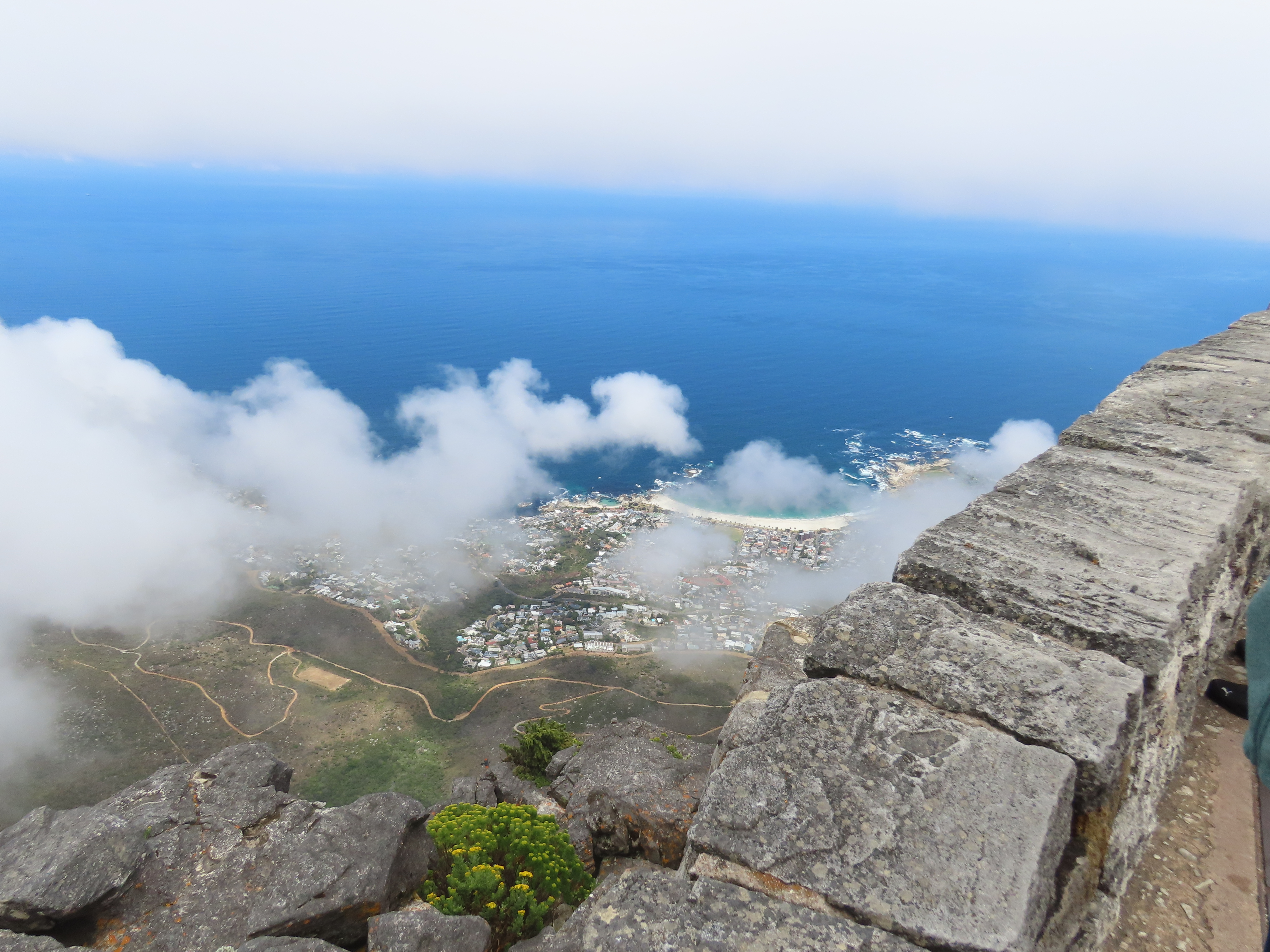
    On the western side of the mountain is the seaside suburb of Camps Bay:

    On the eastern side is Devil’s Peak and the suburb of Oranjezicht:

    A pinky orange lily poked above the rocks:

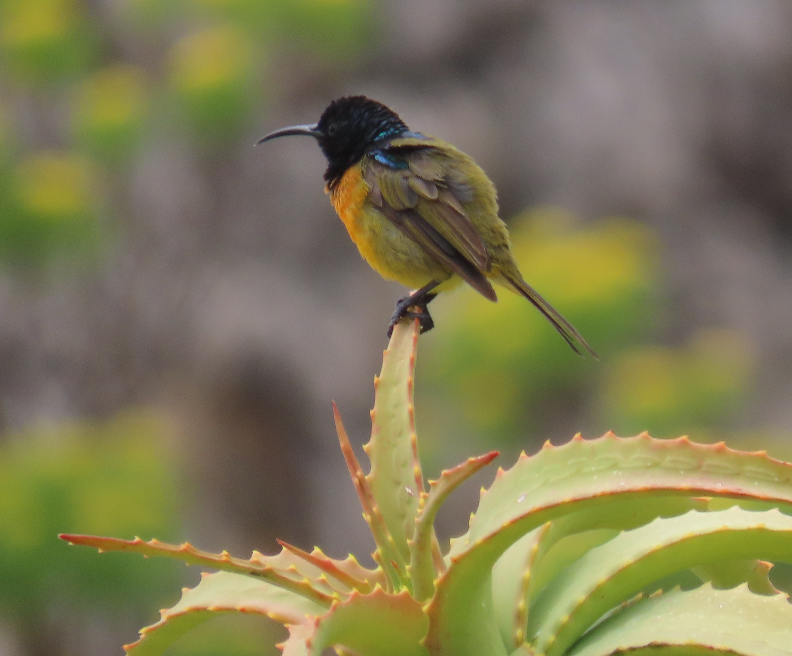
    An Orange-breasted Sunbird perched on an aloe:

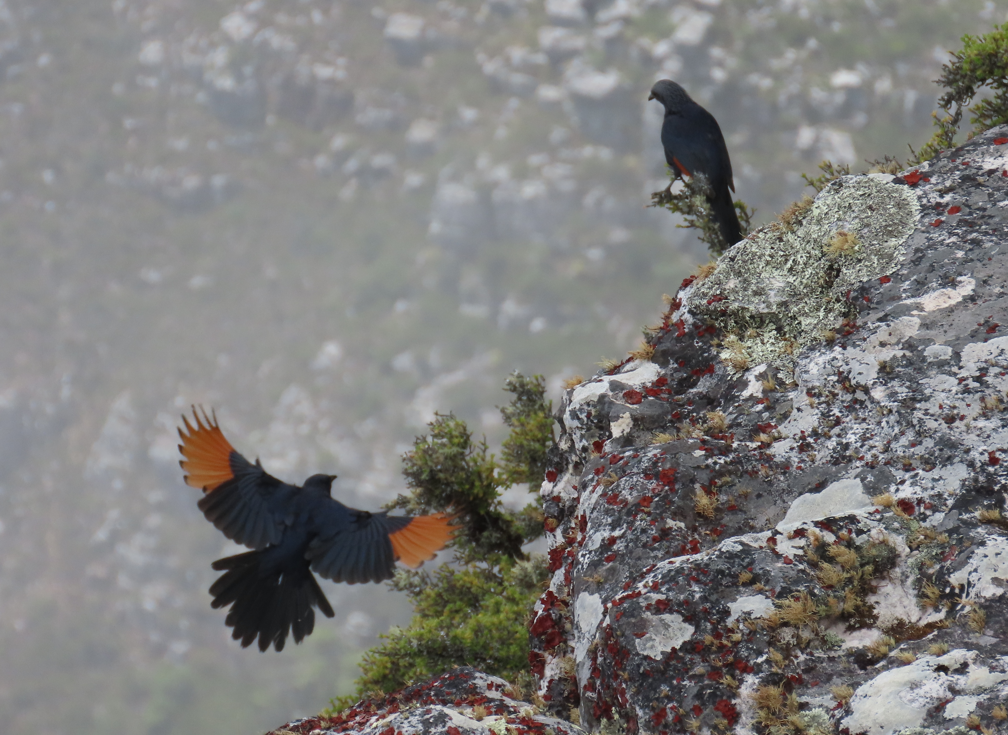
    A couple of Red-winged Starlings flitted around us. Needless to say, yours truly stayed under cover while these formidable creatures had their beady eyes on us:

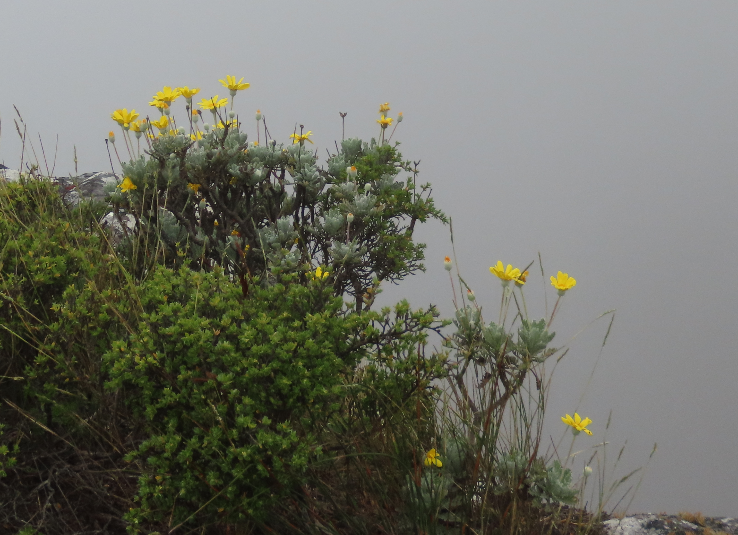
    Daisies did their level best to brighten up a grey day. That’s what daisies do:

    The top of Table Mountain really is flat. There are some good paths, especially on the front table near the top cable station:

    Due to the mist, we decided to restrict our trip to just the front table. On other trips, we’ve made the crossing to the back table and walked all the way to Maclear’s Beacon. That’s a round trip of a couple of hours, and we didn’t think it wise given the current low visibility. So, back to the top cable station.

    This picture shows both the top and the bottom cable stations. It gives a good idea of the steep trip ahead of us!

    The two cable cars pass each other, one on the way up and the other on the way down:

    Aboard the cable car once more, we saw the cables descending into the cloud:

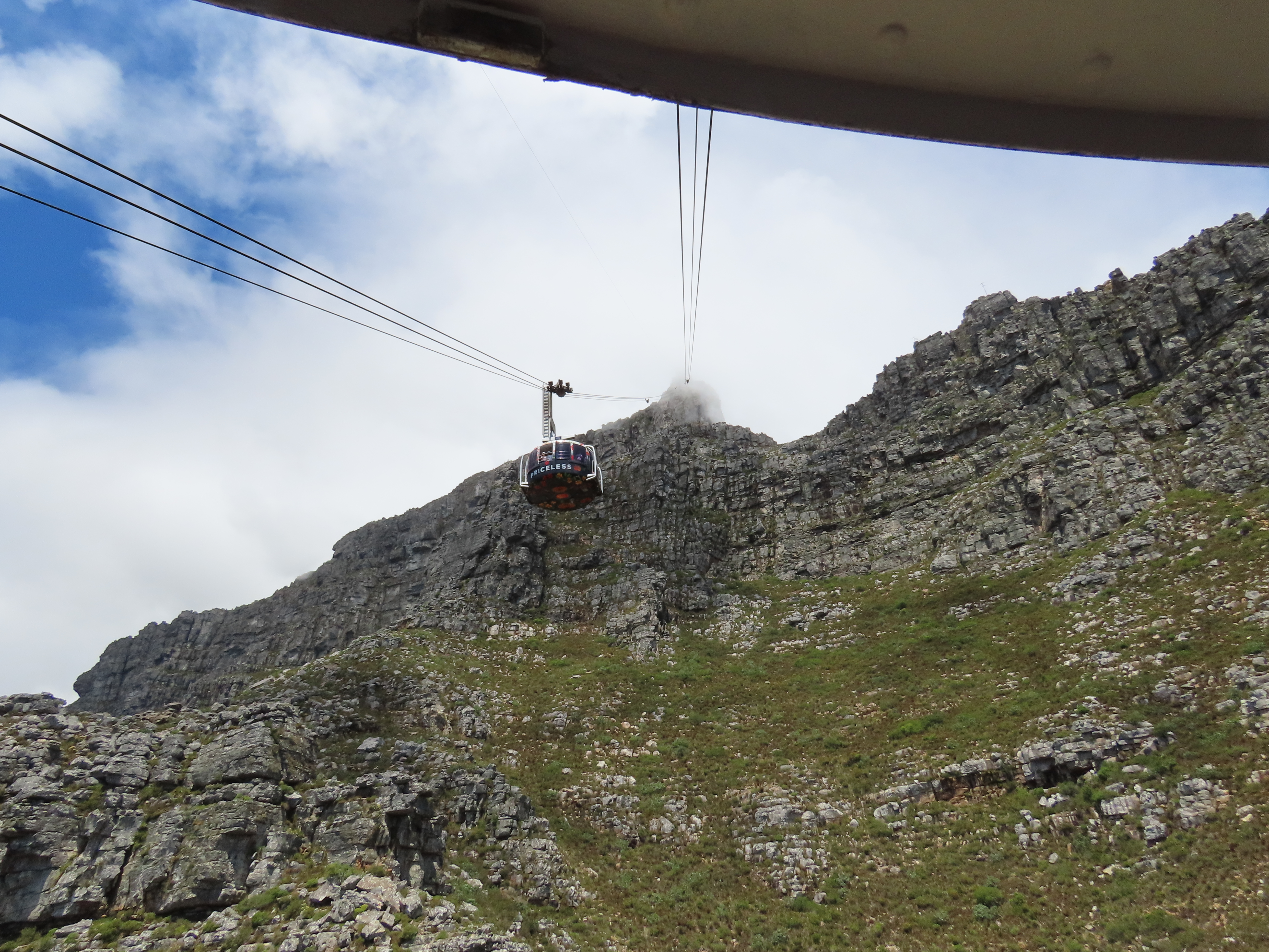
    On the way down, we passed the other cable car on its way up. Here’s a view taken from our cable car, showing the upper station in the mist behind the other car:

    Table Mountain is a natural wonder and a place of calm and beauty. Heed the words of a wise worm: It’s well worth a visit.

    That’s all for today, folks.


  • A few days in Zurich

    This is the blog of Mark Wordsworm, the travelling worm. I’m a 36-year-old bookmark (give or take a few years) and I proudly boast my own Hallmark serial number, 95 HBM 80-1. You’ll probably want to read all about me and my Travelling Companion (the TC).

    Today’s travel notes

    Me and the TC have spent the last couple of weeks in Zurich. It was largely a working trip for the TC. Spending time in a city as a working person is a different experience from being a tourist. We have, however, found the time to see a bit of the city too.

    The book I’m in

    Tell Me Lies, by J. P. Pomare. The TC has just started this book. I’m looking forward to digging in during the long trip home from Zurich to Sydney.

    Recommended restaurant

    Burgermeister, Oberdorfstrasse, Zurich. The restaurant offers take-away as well as dine-in meals. You order your food at the counter and collect it there too. The food comes quickly. It’s very tasty and of high quality.

    Travel tips

    Parking is complicated. Blue zones, white zones, time restrictions… Read up on it before you arrive.

    The photos

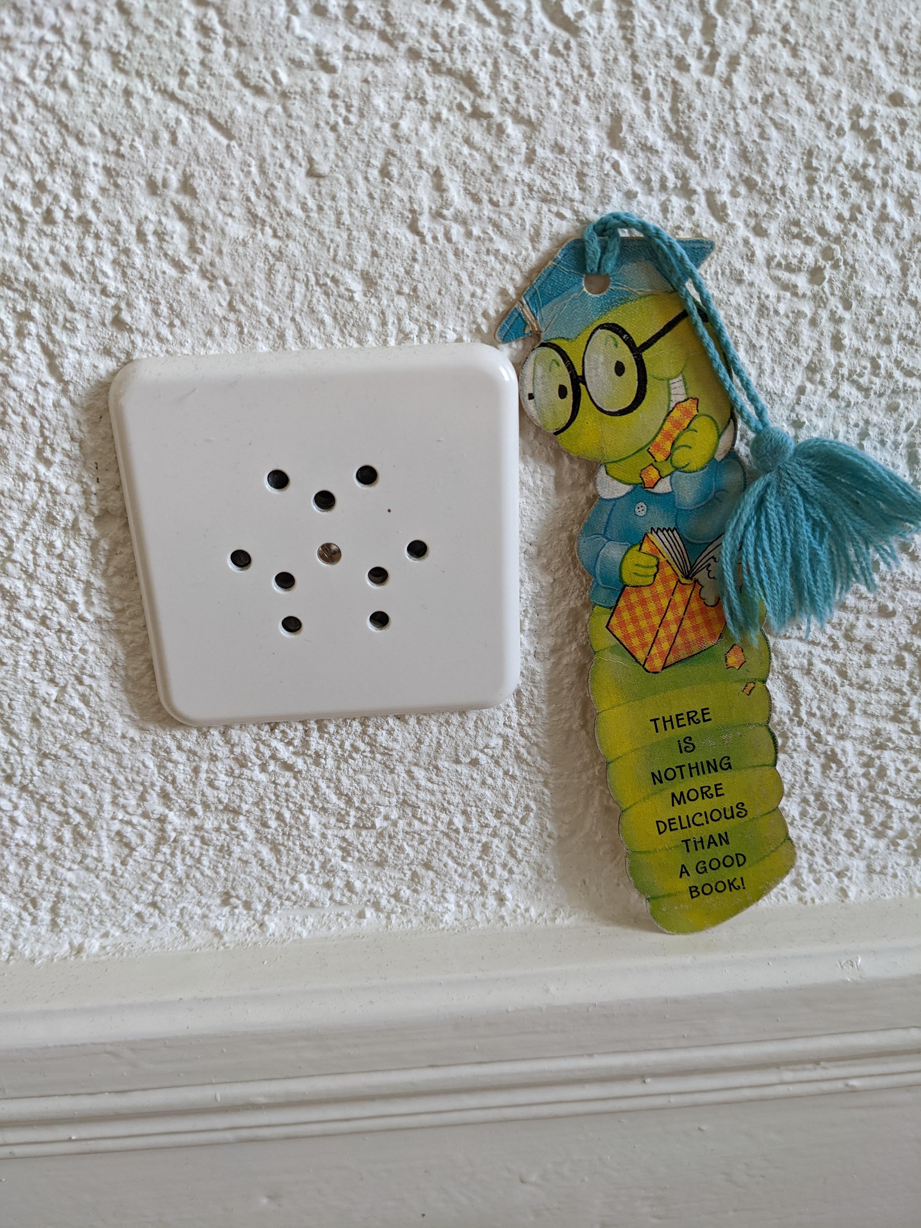
    Me surveying a complex-looking plug socket array in our Zurich accommodation:

    Swiss plugs differ from those in much of Europe. They have three prongs, with the middle one slightly offset.

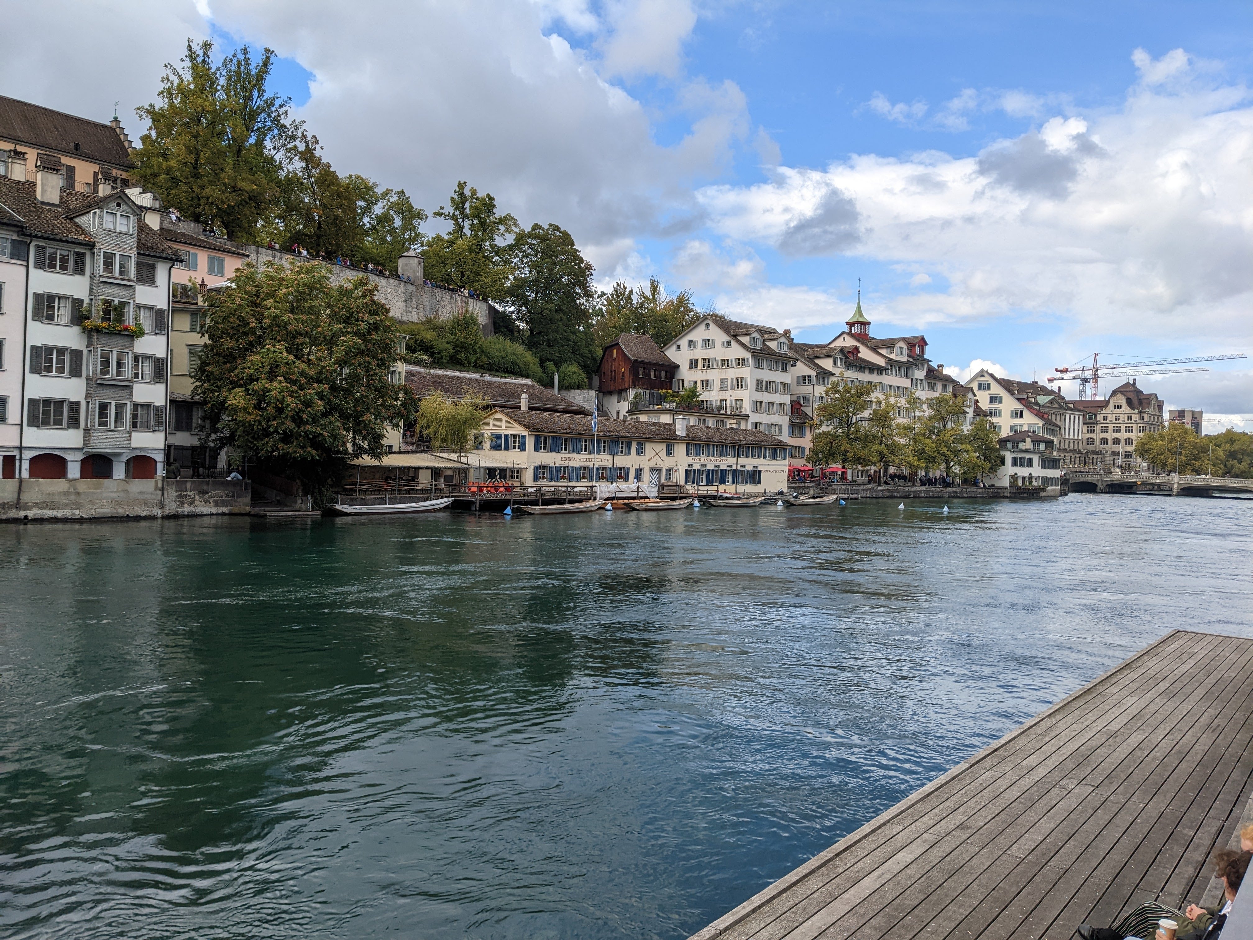
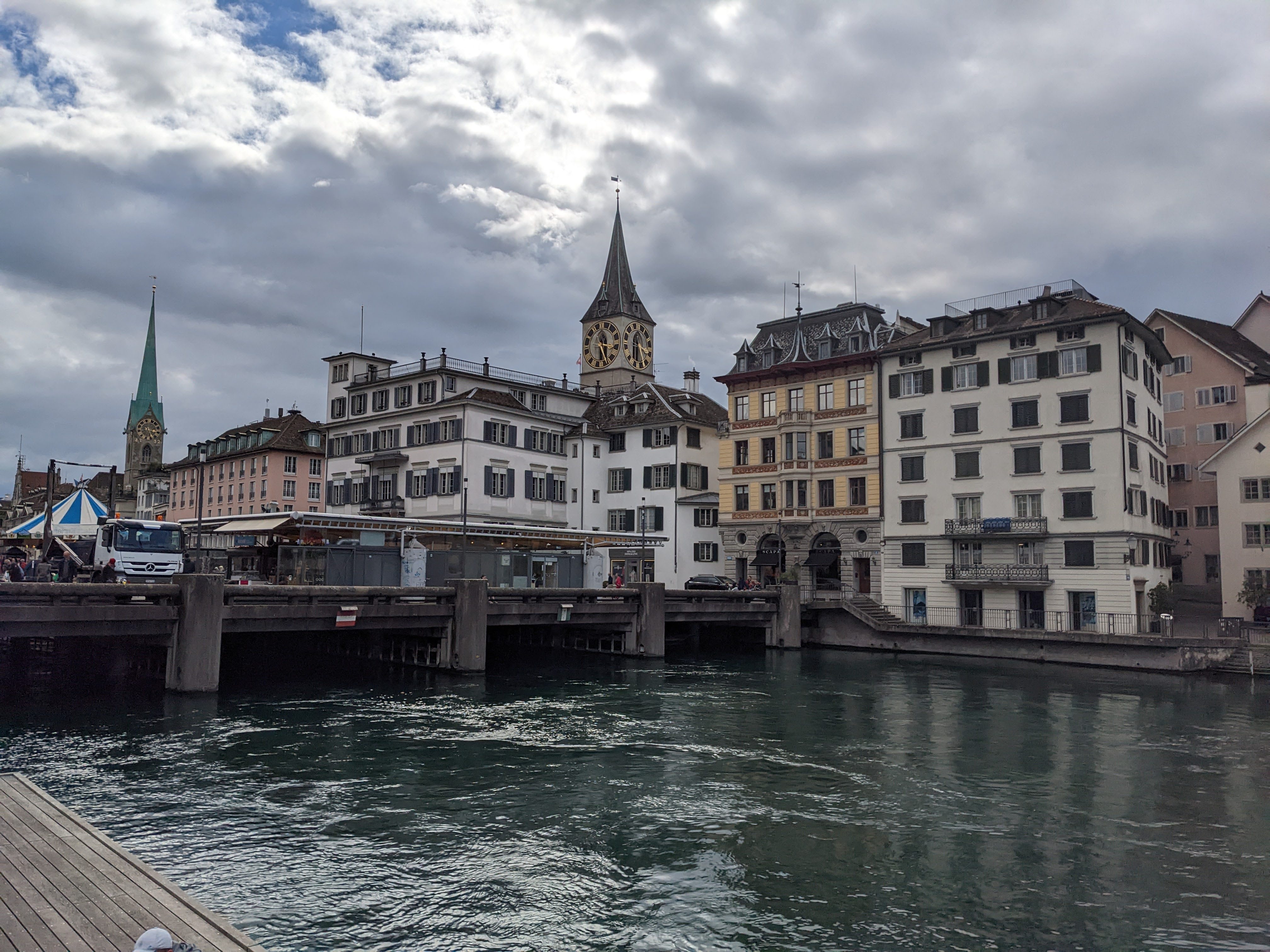
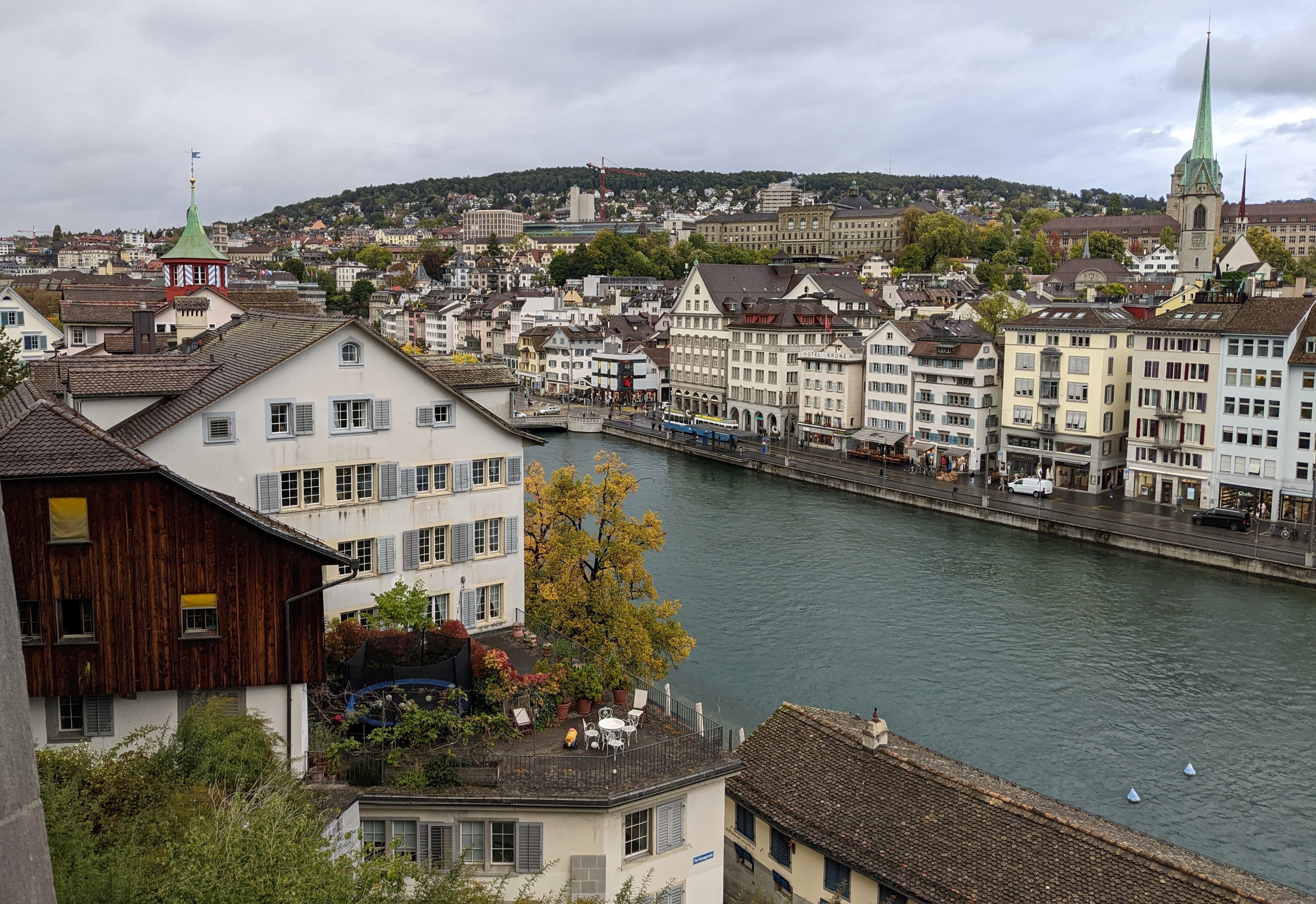
    The lovely Limmat River runs through Zurich. This worm appreciated the river in its many moods:

    Scooters, bicycles, motorbikes, e-bikes — people use a variety of vehicles to move around the city:

    Winding alleys lead down into the old town:

    A city view from the Lindenhof on the western bank of the Limmat river:

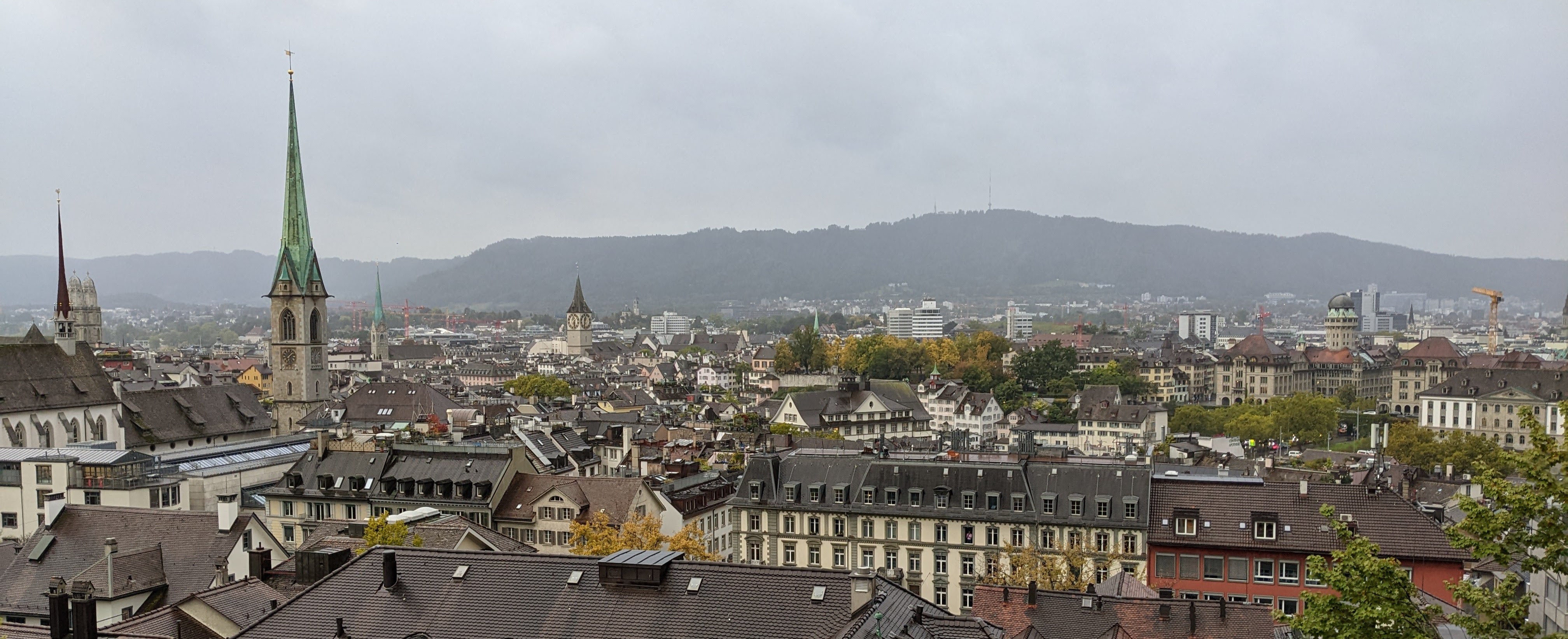
    Another view of the city, this time from the university on the eastern side of the river:

    I’ll close with some multi-coloured berries on a creeping plant. It was autumn. The leaves were beginning to turn and the air was acquiring a chill. Berry season. The TC passed this wall every day on her walk into the office in Zurich:

    That’s all for today, folks.


  • Rhine Falls, the most powerful waterfall in Europe

    This is the blog of Mark Wordsworm, the travelling worm. I’m a 36-year-old bookmark (give or take a few years) and I proudly boast my own Hallmark serial number, 95 HBM 80-1. You’ll probably want to read all about me and my Travelling Companion (the TC).

    Today’s travel notes

    Yesterday, me and the TC took a trip to the Rhine Falls (Rheinfall), the most power waterfall in Europe based on rate of flow. Although the Rhine Falls are in Switzerland, our train passed through a bit of Germany on the way there.

    The book I’m in

    Bleed for Me, by Michael Robotham. A good who-dunnit investigated by a flawed psychologist, a cop, and an ex-cop. This worm is eating through the book with great enjoyment.

    Travel tips

    There’s a good chance of getting damp, even if it’s not raining.

    The photos

    Me hanging out at the Rheinfall:

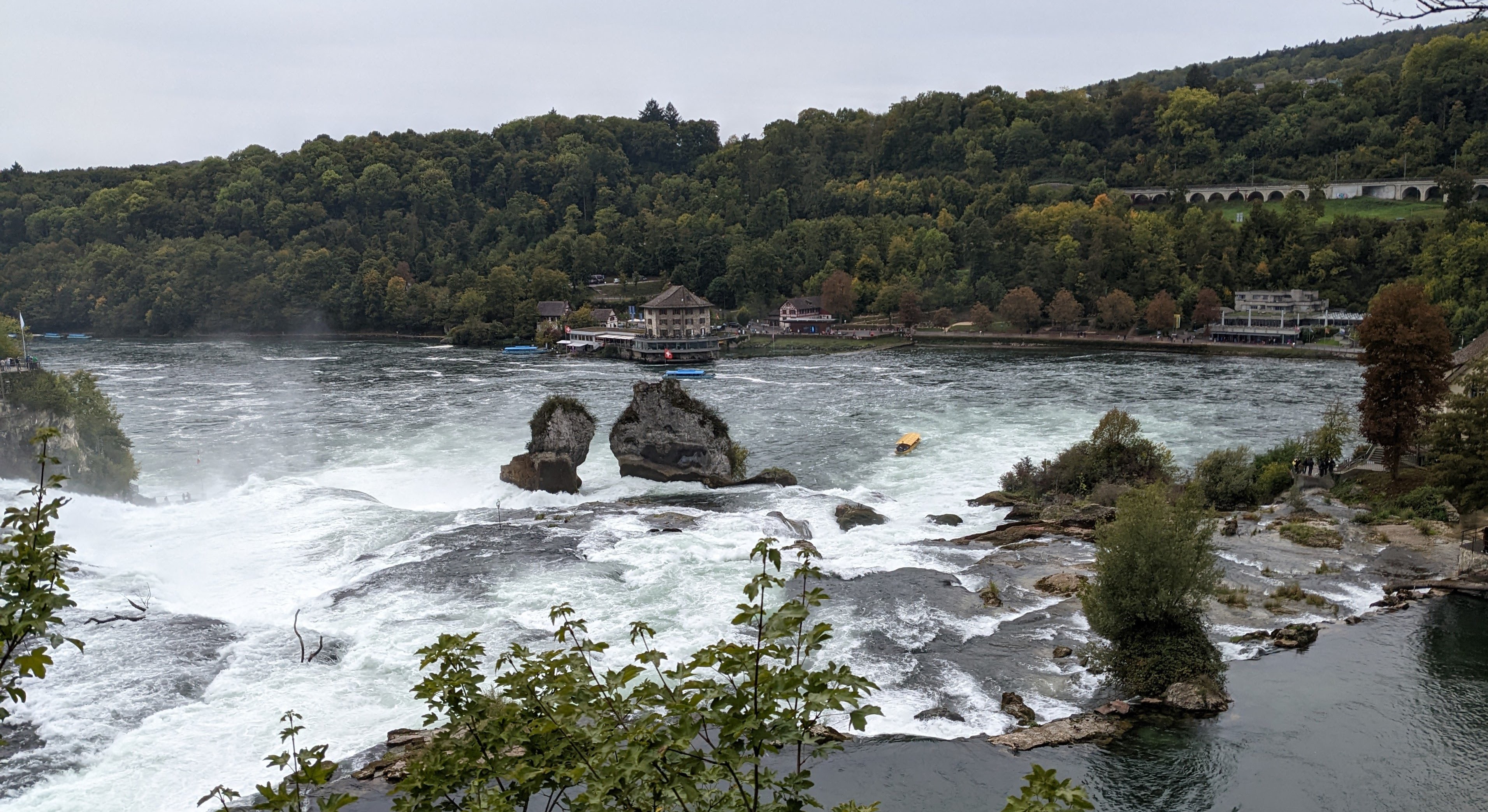
    Imagine you’re travelling down the Rhine, a leisurely ride on a boat, birds tweeting, sun shining, the gentle river flowing strong but smooth. Then, as you round a bend, suddenly there’s a roaring in the air and the river drops down by 23 metres right in front of you.

    Here’s what the Rhine Falls look and sound like from the river bank:

    A still view from the same spot:

    How small that yellow boat looks! Intrepid travellers can take a ride on one of these boats. Be prepared to get wet:

    The first viewing point is a short stroll from the train station, down a pretty street:

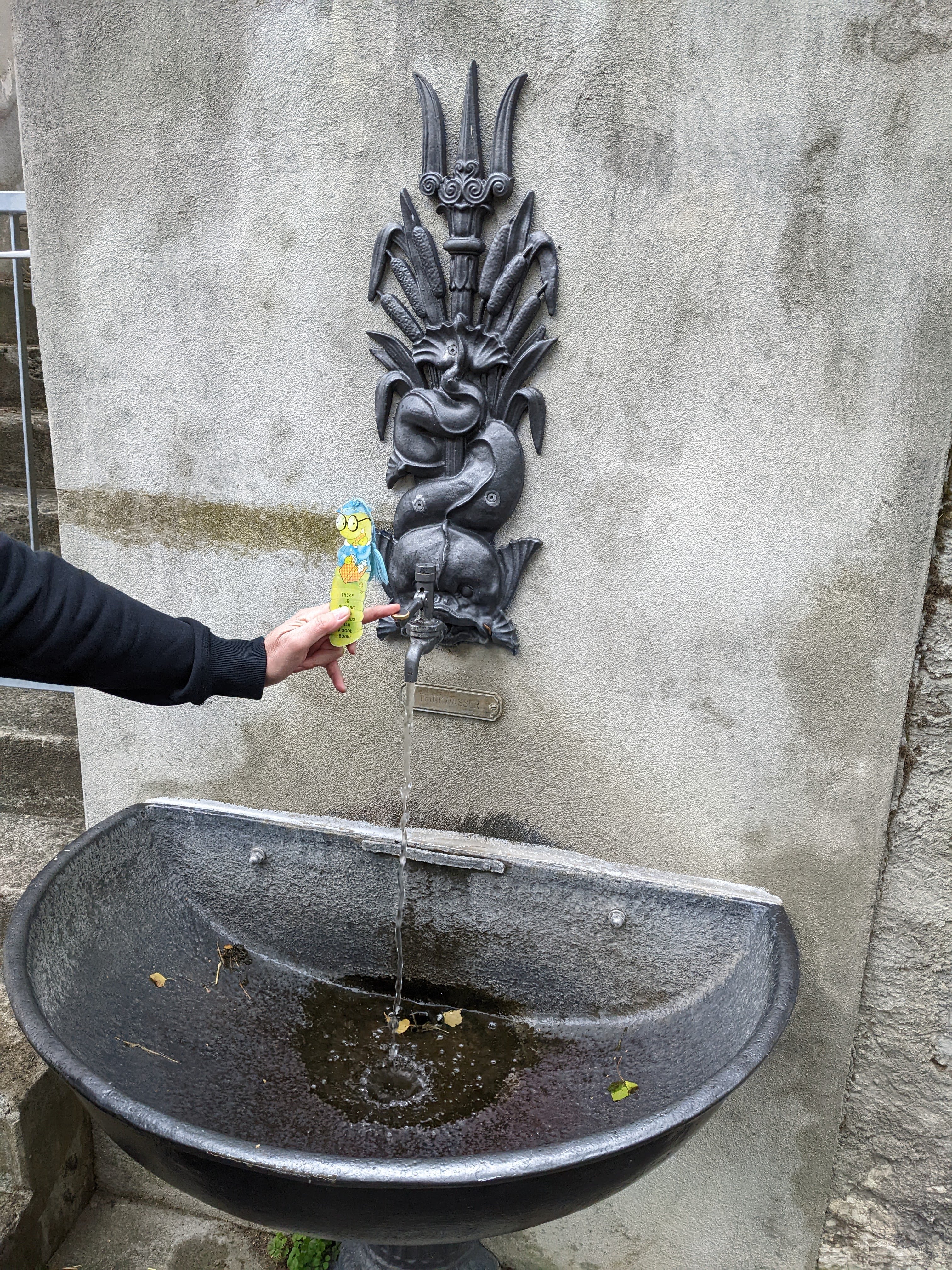
    I’ll close this post with another shot of yours truly at the local water spigot:

    That’s all for today, folks.


  • Chur, oldest city in Switzerland

    This is the blog of Mark Wordsworm, the travelling worm. I’m a 36-year-old bookmark (give or take a few years) and I proudly boast my own Hallmark serial number, 95 HBM 80-1. You’ll probably want to read all about me and my Travelling Companion (the TC).

    Today’s travel notes

    If you have the chance, follow in this worm’s illustrious footsteps and visit the historic town of Chur in Switzerland. It’s one and a half hours by train from Zurich. Chur lays claim to being the oldest settlement in Switzerland, tracing its history as far back as 3500-3900 BCE.

    The book I’m in

    Bleed for Me, by Michael Robotham. A good who-dunnit investigated by a flawed psychologist, a cop, and an ex-cop. This worm is eating through the book with great enjoyment.

    Recommended restaurants

    We popped in for coffee and cake at Cafe Maron, near the Chur train station. The fare was delicious, the service was friendly, and the cafe was brimming with people.

    For lunch, we chose Vanessa’s Kitchen Fusion Bistro. Highly recommended for the quality of the food and the service.

    Travel tips

    Walk the streets of the old town. If golf is your cup of tea, do the Urban Golf Parcours in Chur. Urban golfers use soft balls, to avoid hurting people and damaging property. It’s a good way to see the city.

    The photos

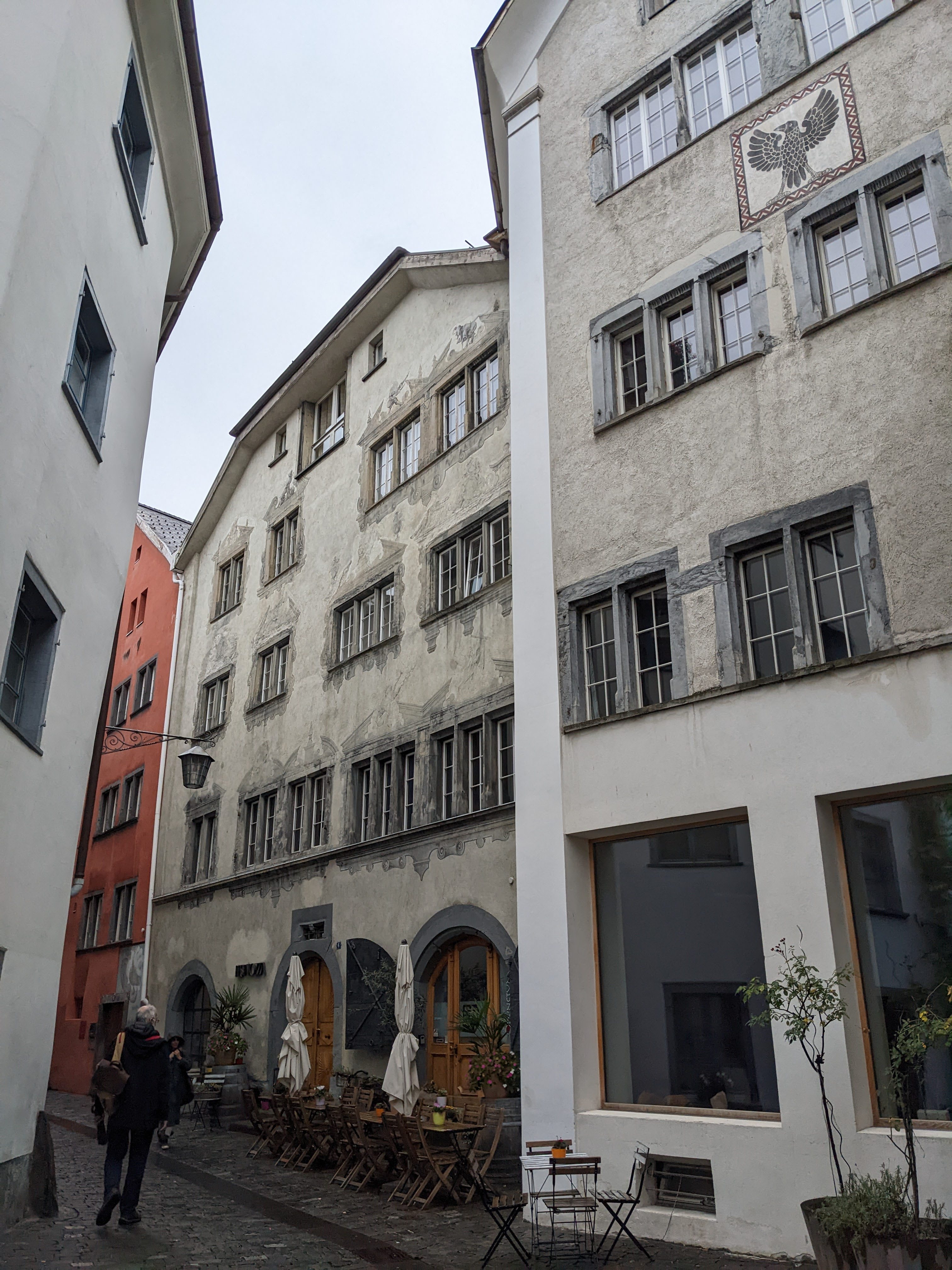
    Me hanging out with a beautiful woman at a historic building in Chur:

    Until 1887, night watchmen used to roam the streets of Chur, calling out the hours of the evening watch. The placards on this building tell the story:

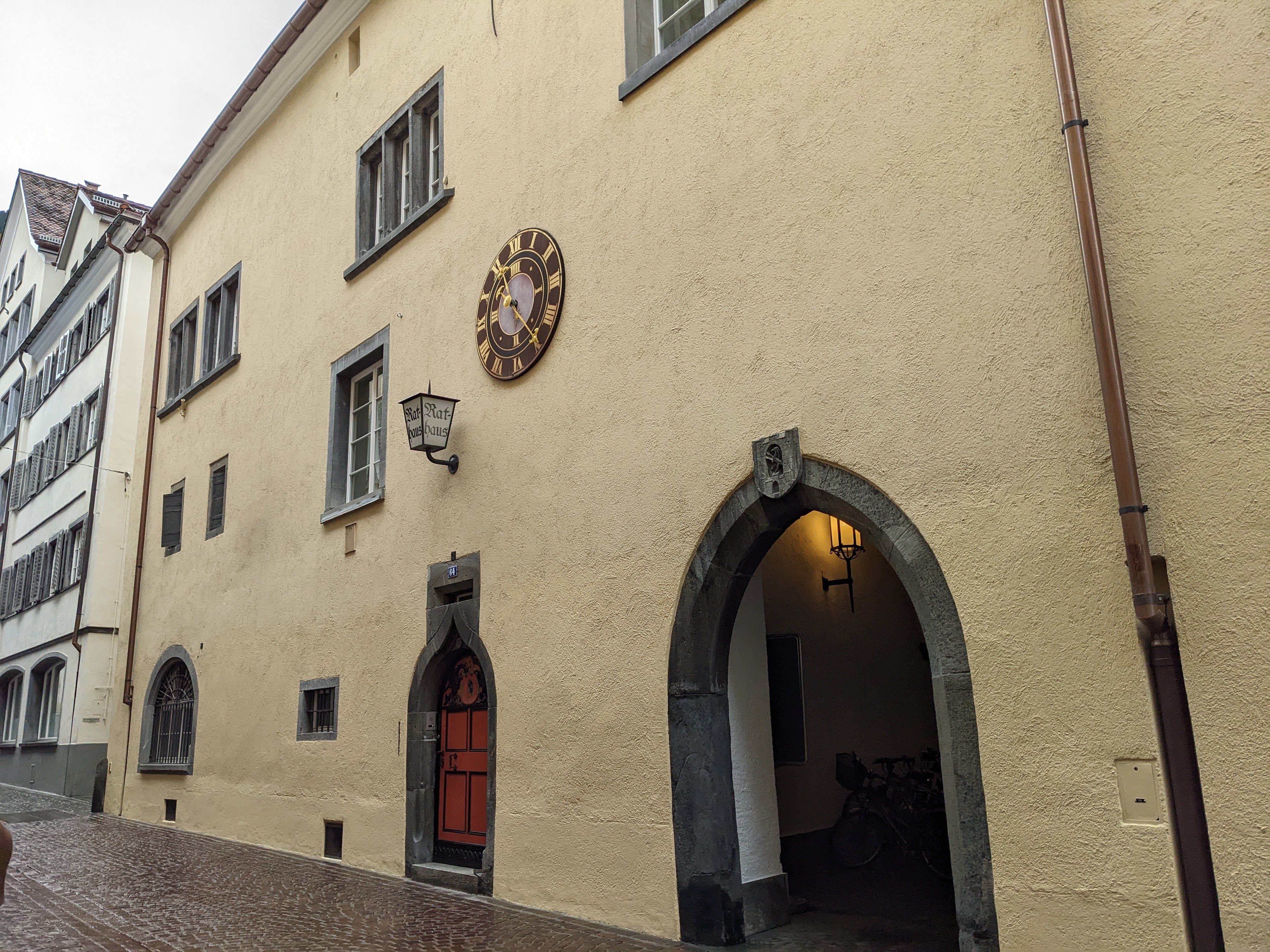
    The town hall (rathaus), with its medieval arches:

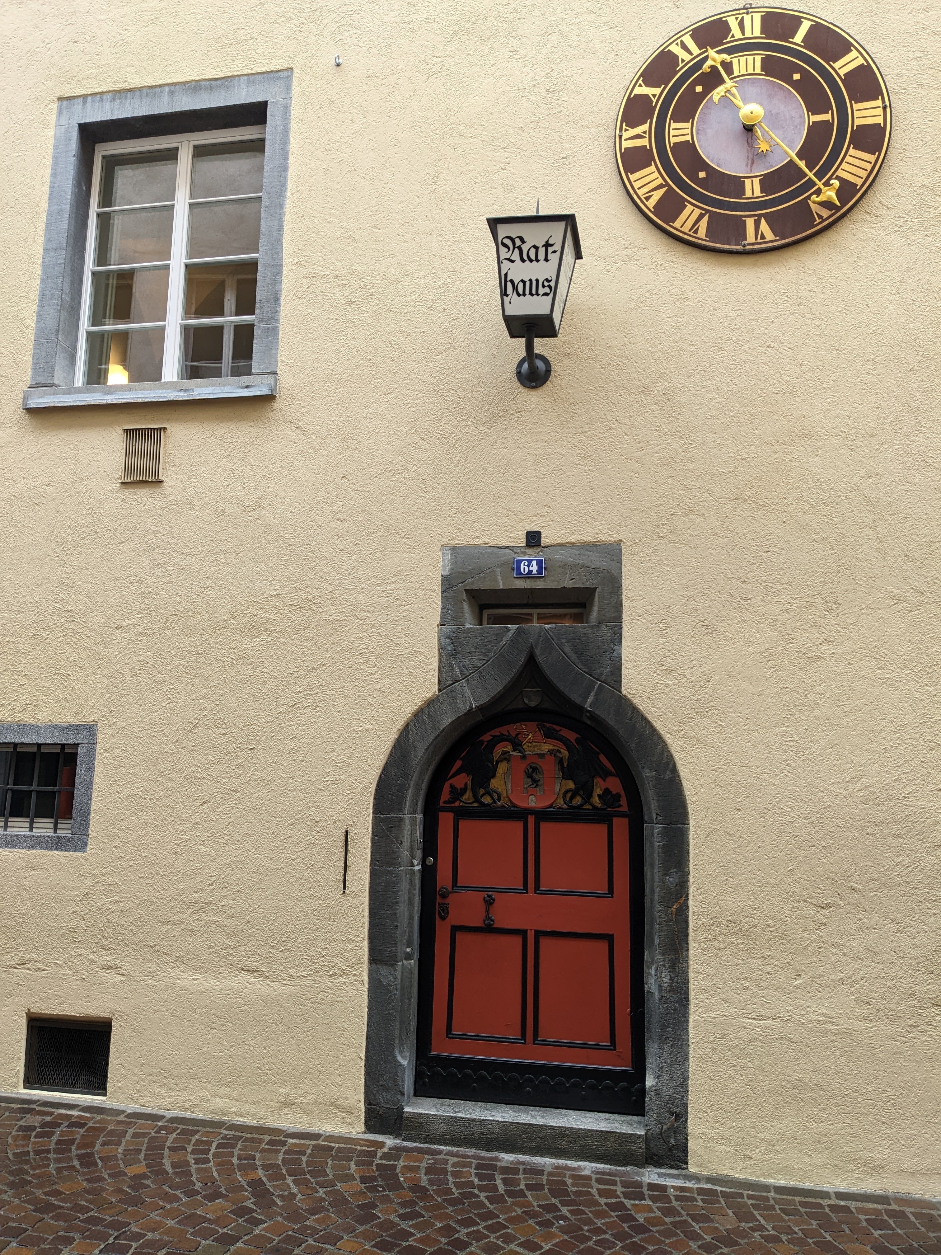
    A close-up of the entrance to the town hall:

    The opposite entrance of the town hall:

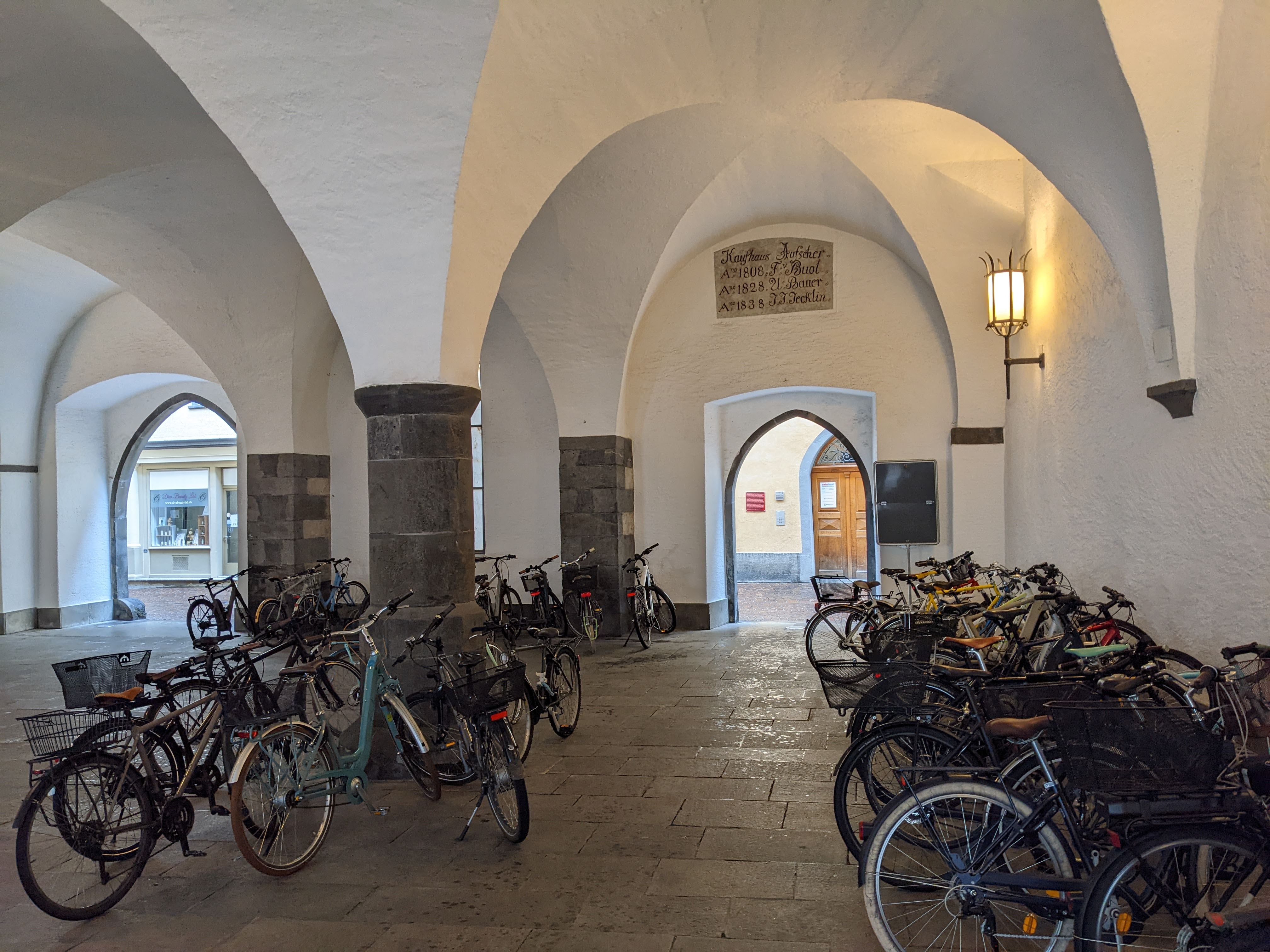
    The arched roof of a marketplace next to the town hall, currently a shelter for bicycles.

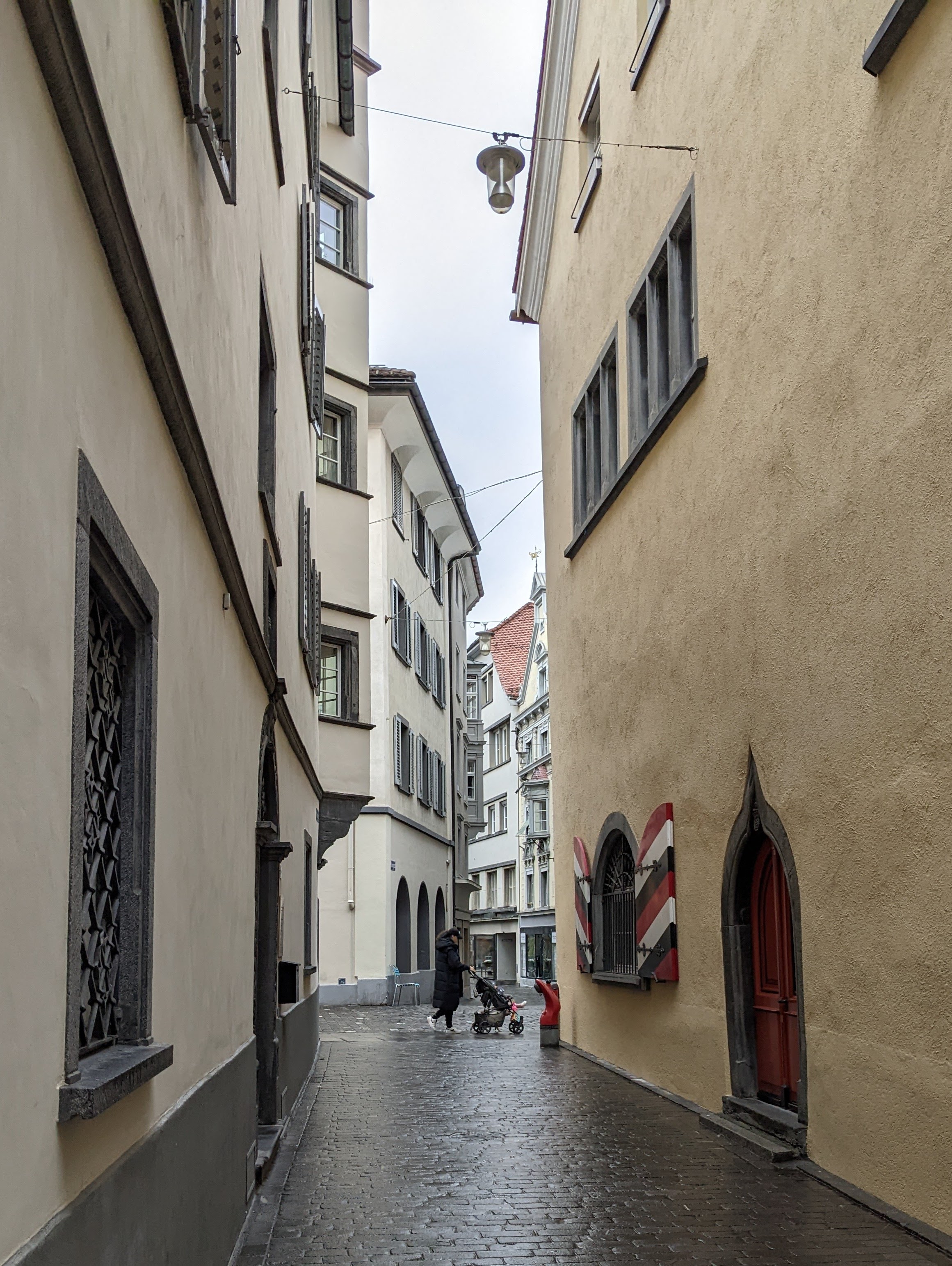
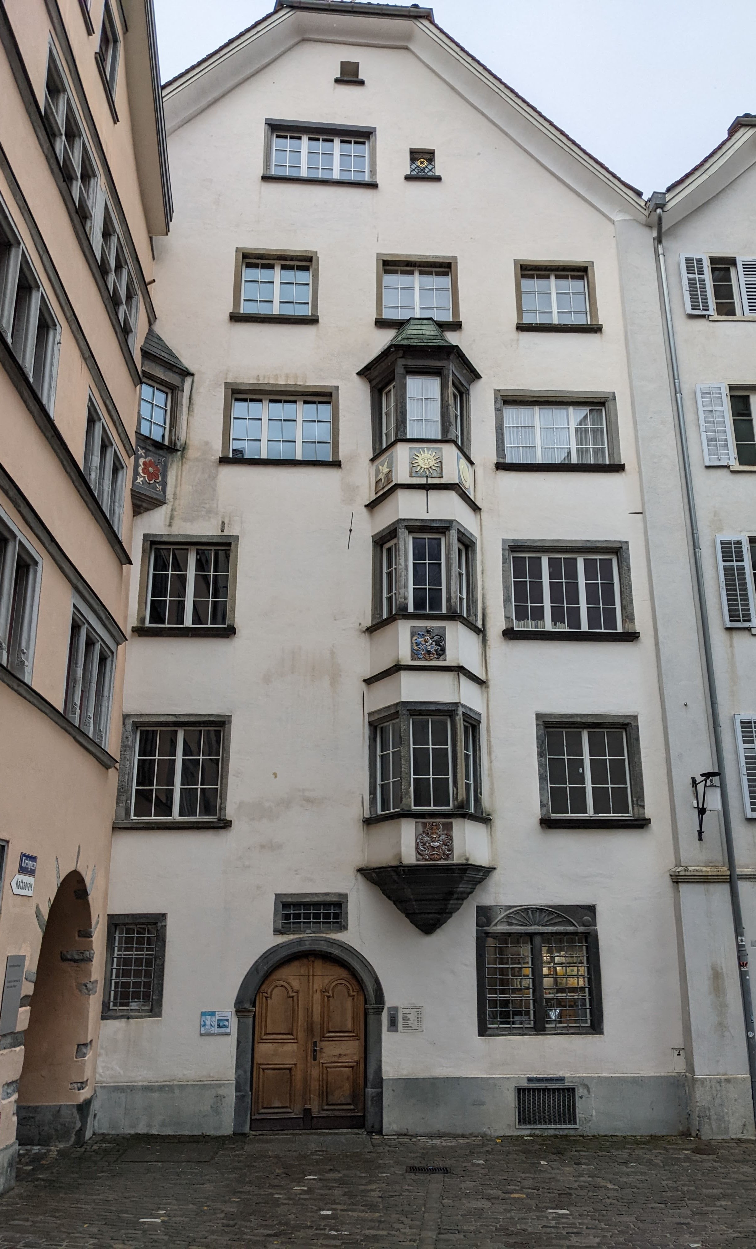
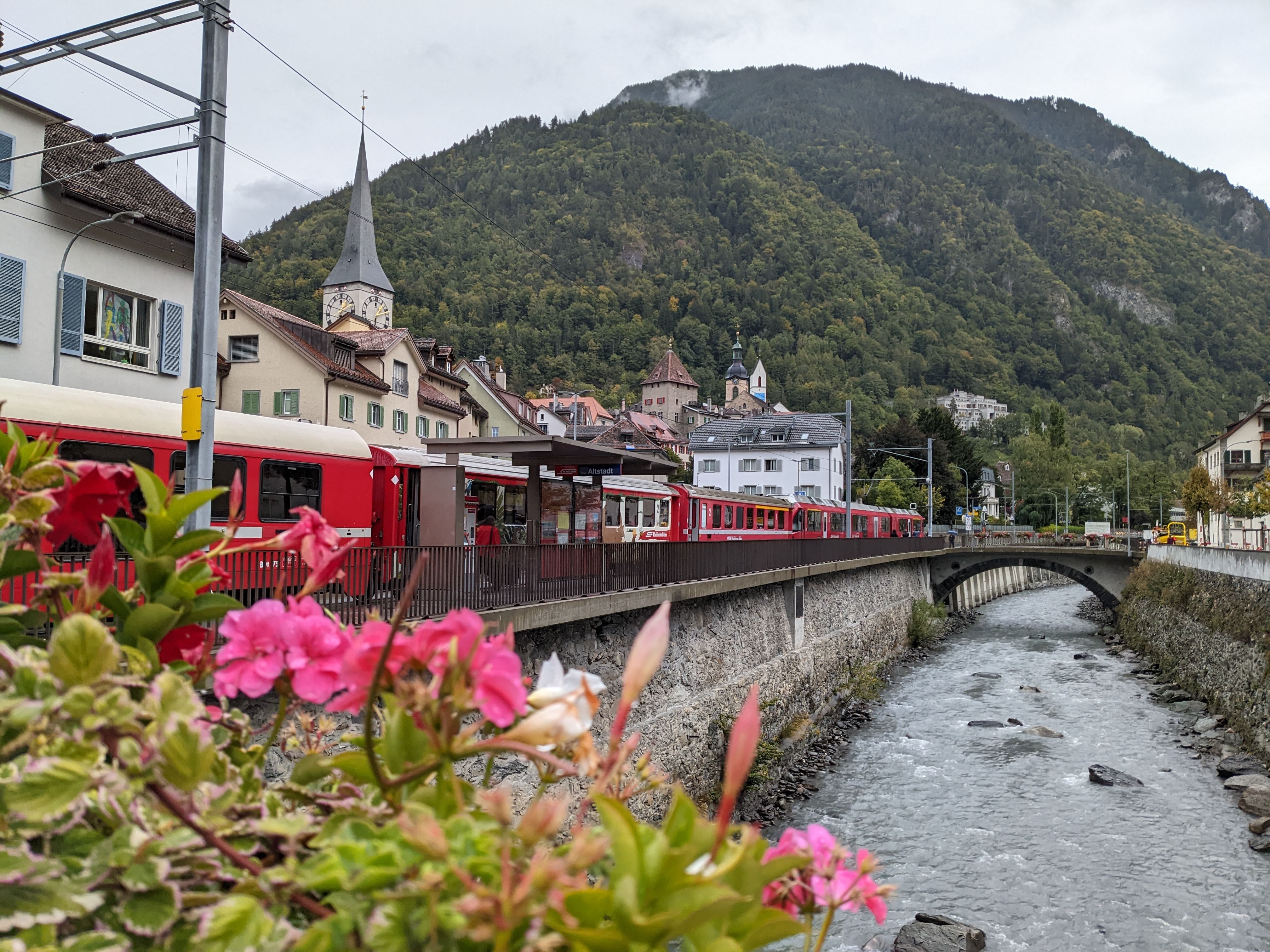
    Street scenes in the old town:

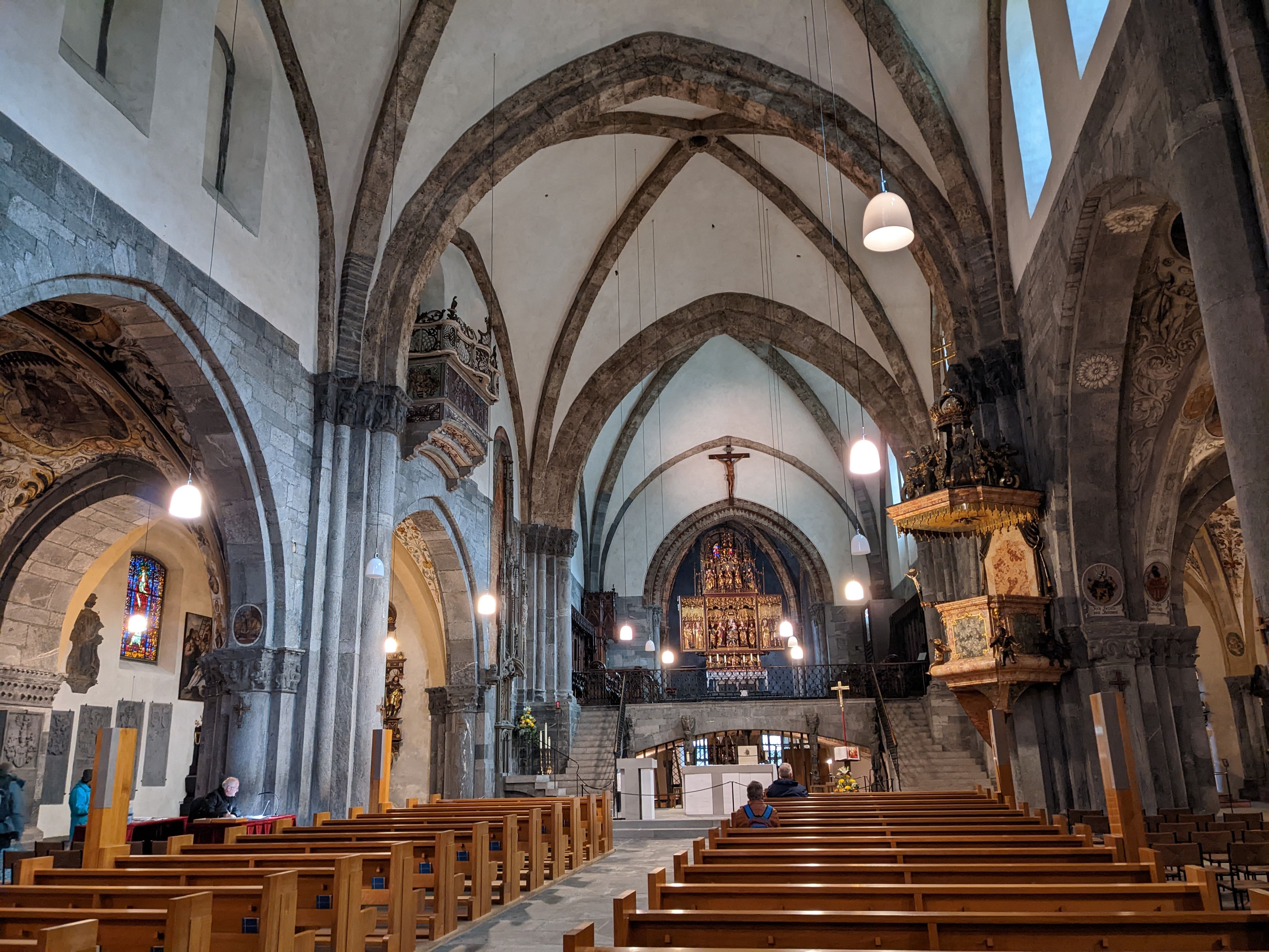
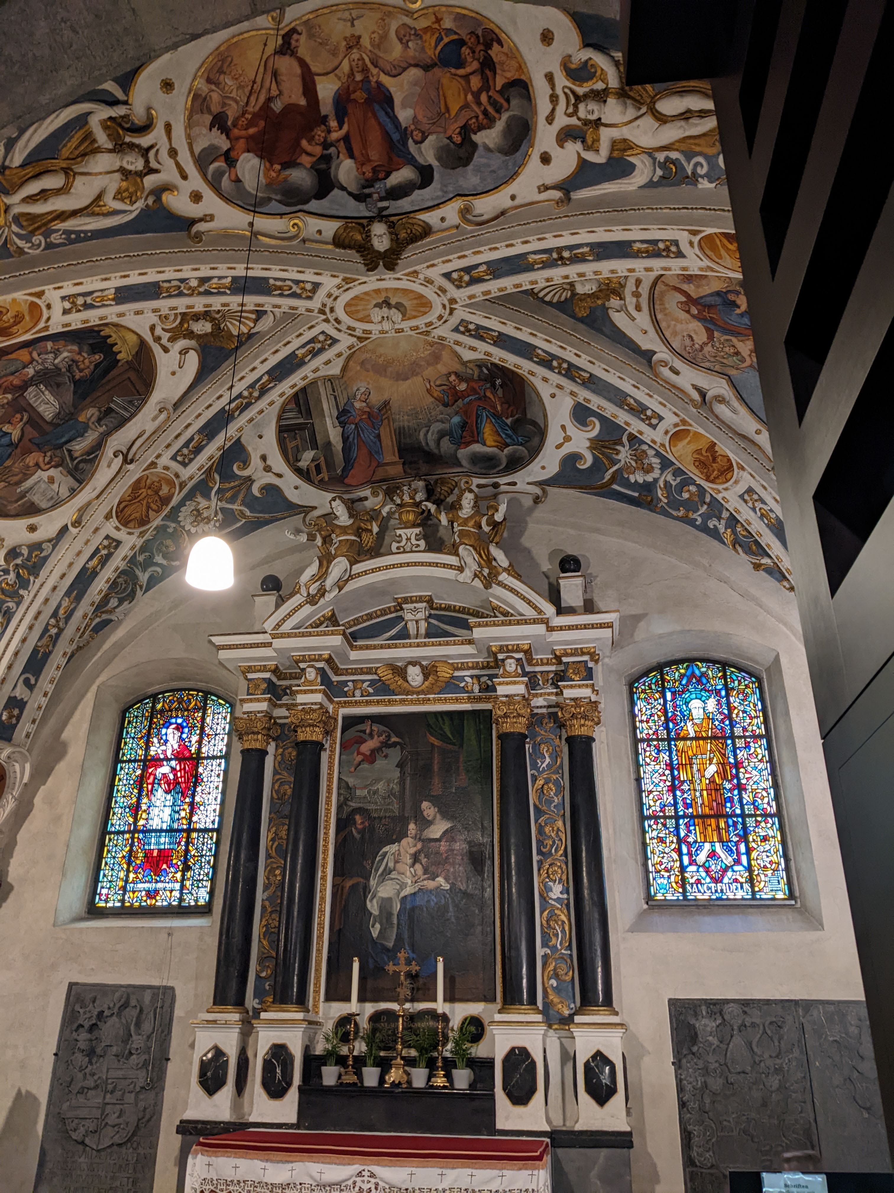
    The Cathedral of the Assumption is a place of beauty and quiet:

    A modern sticker on a mailbox, bringing the ugly to the sublime:

    The clock tower in Martinsplatz:

    At midday, the clock bell chimes the hour:

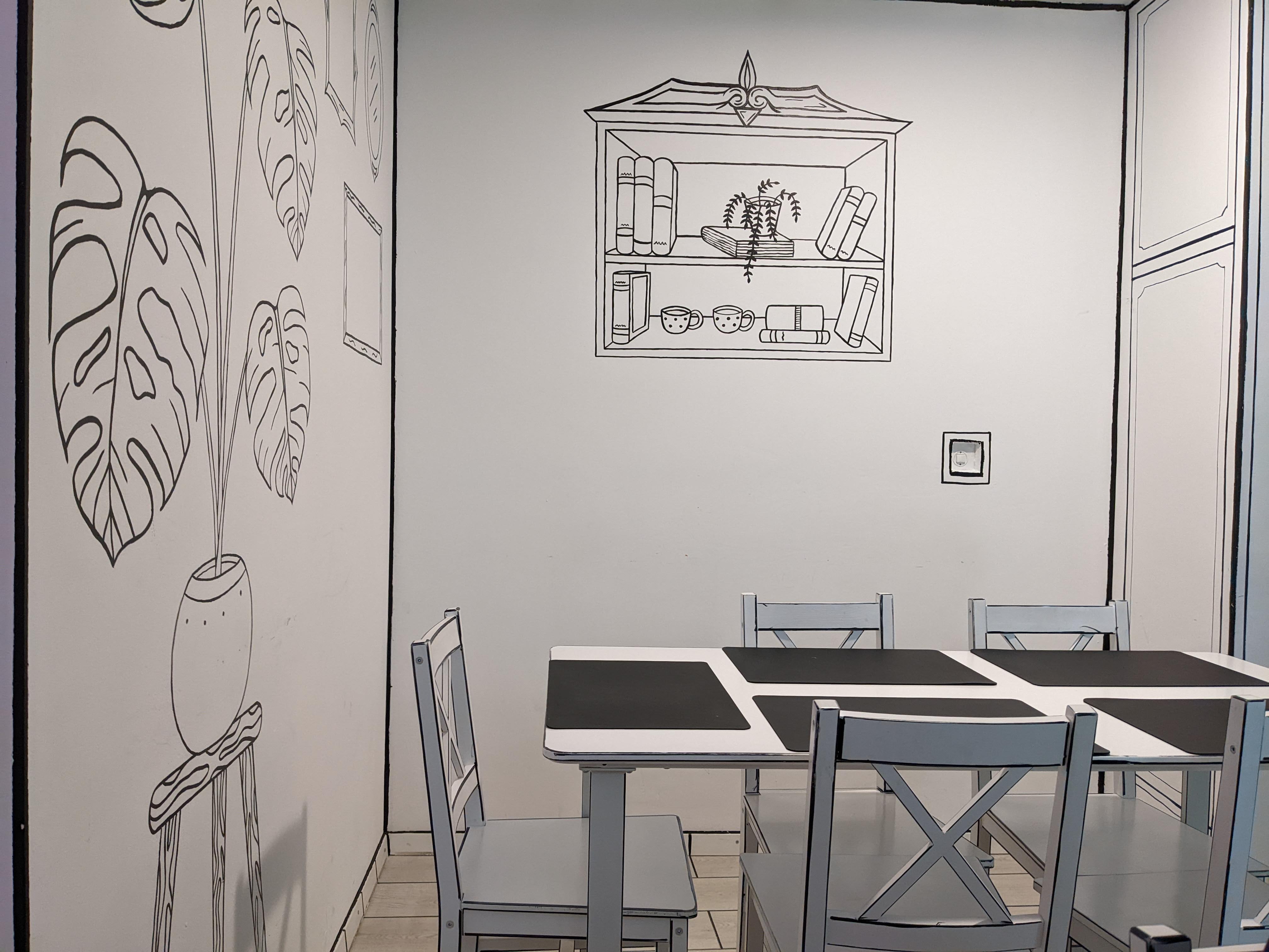
    The 2D room at Vanessa’s Kitchen Fusion Bistro, where we stopped for an excellent lunch:

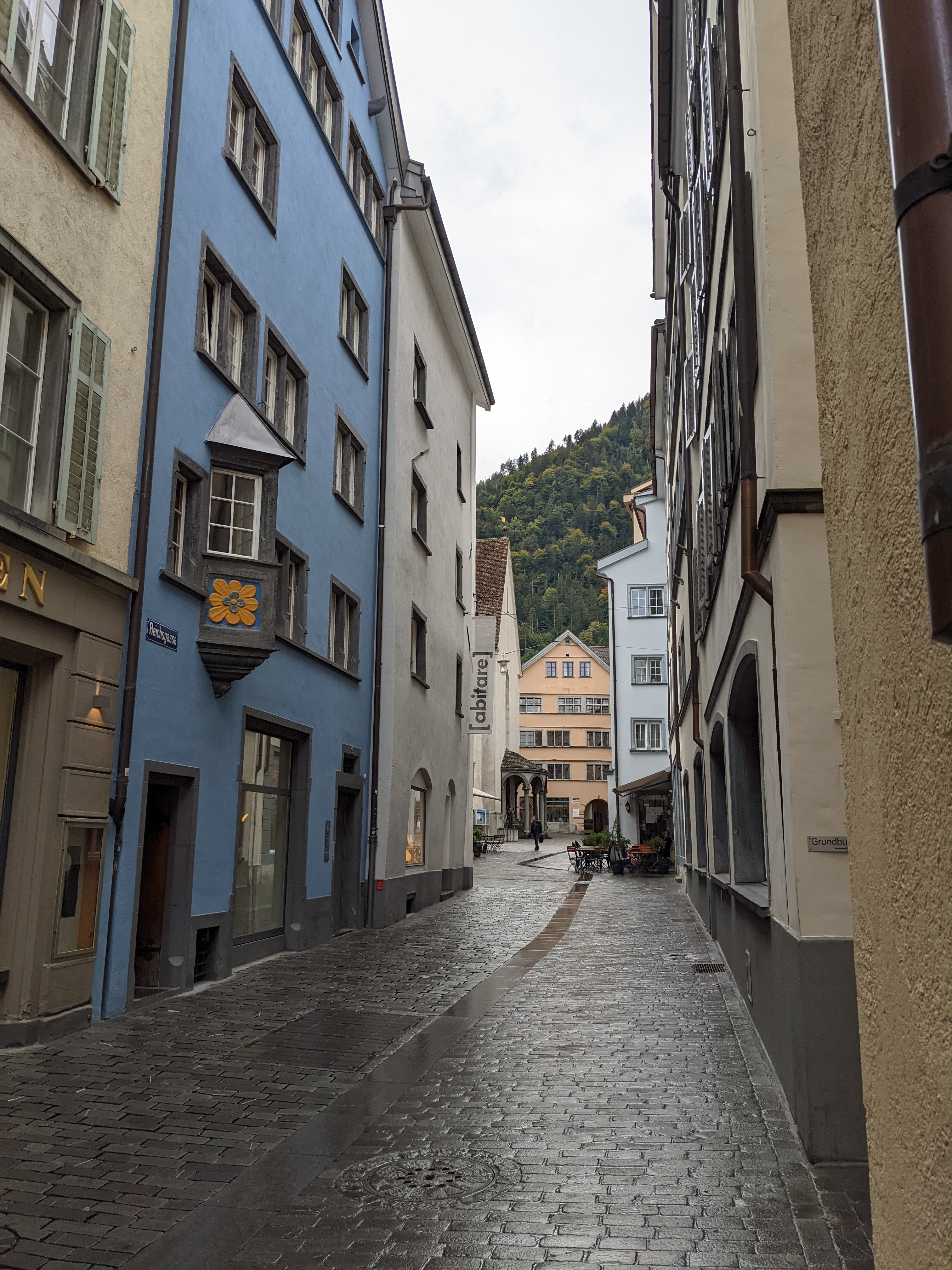
    More street scenes:

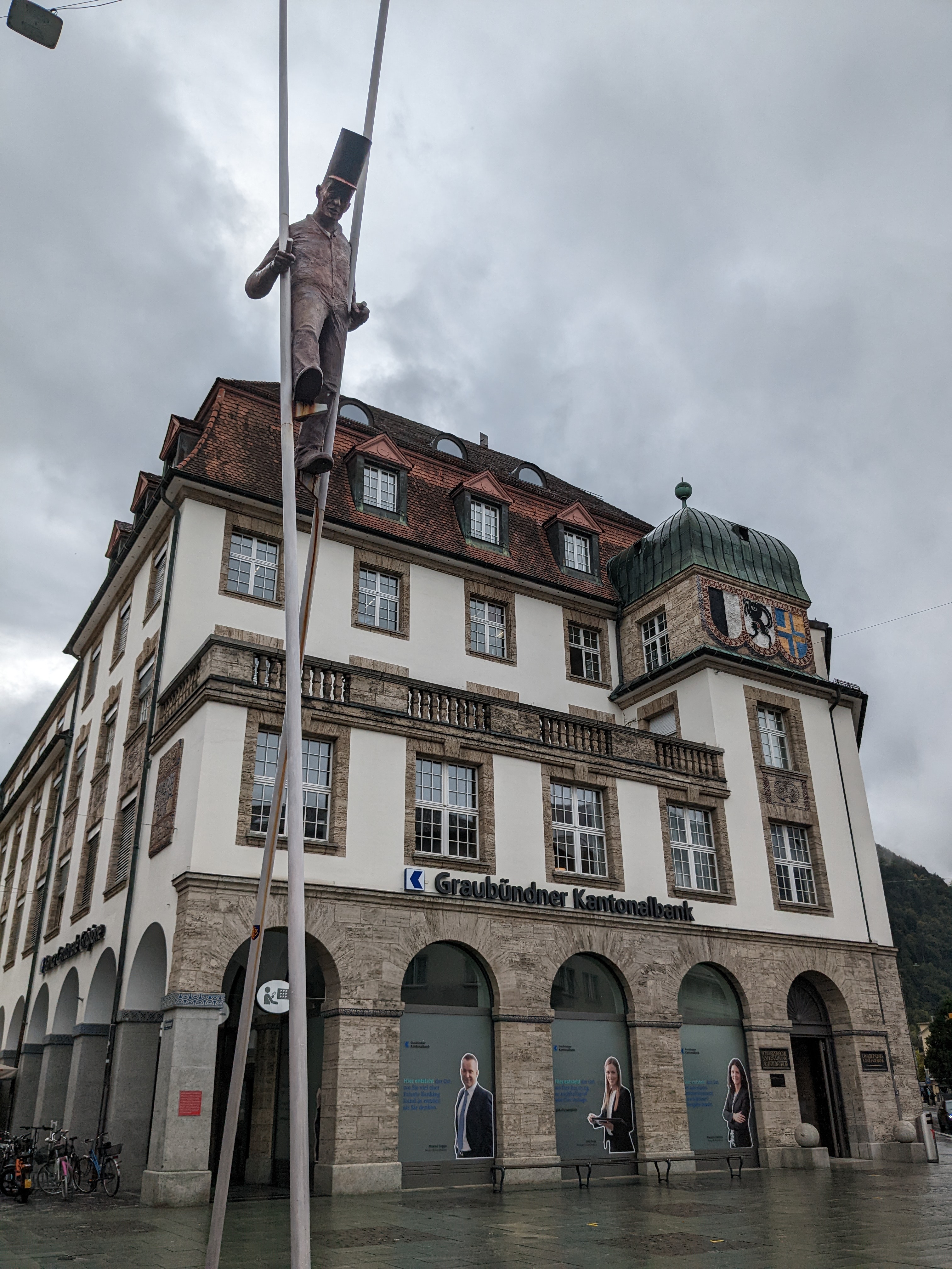
    An imposing statue graces the square at the head office of the Graubünden Cantonal Bank — a man on stilts:

    The train journey from Zurich to Chur is worth a few pictures too. For much of the journey, the train travels along the banks of the lakes: Zurichsee, Obersee, and Walensee. Here’s one of the lakes in a less-than-sunny mood, with snow-bedecked peaks peeking out of the cloud:

    The smudging is the rain on the train window. Here are more snow-bedecked peaks, in a sunnier mood:

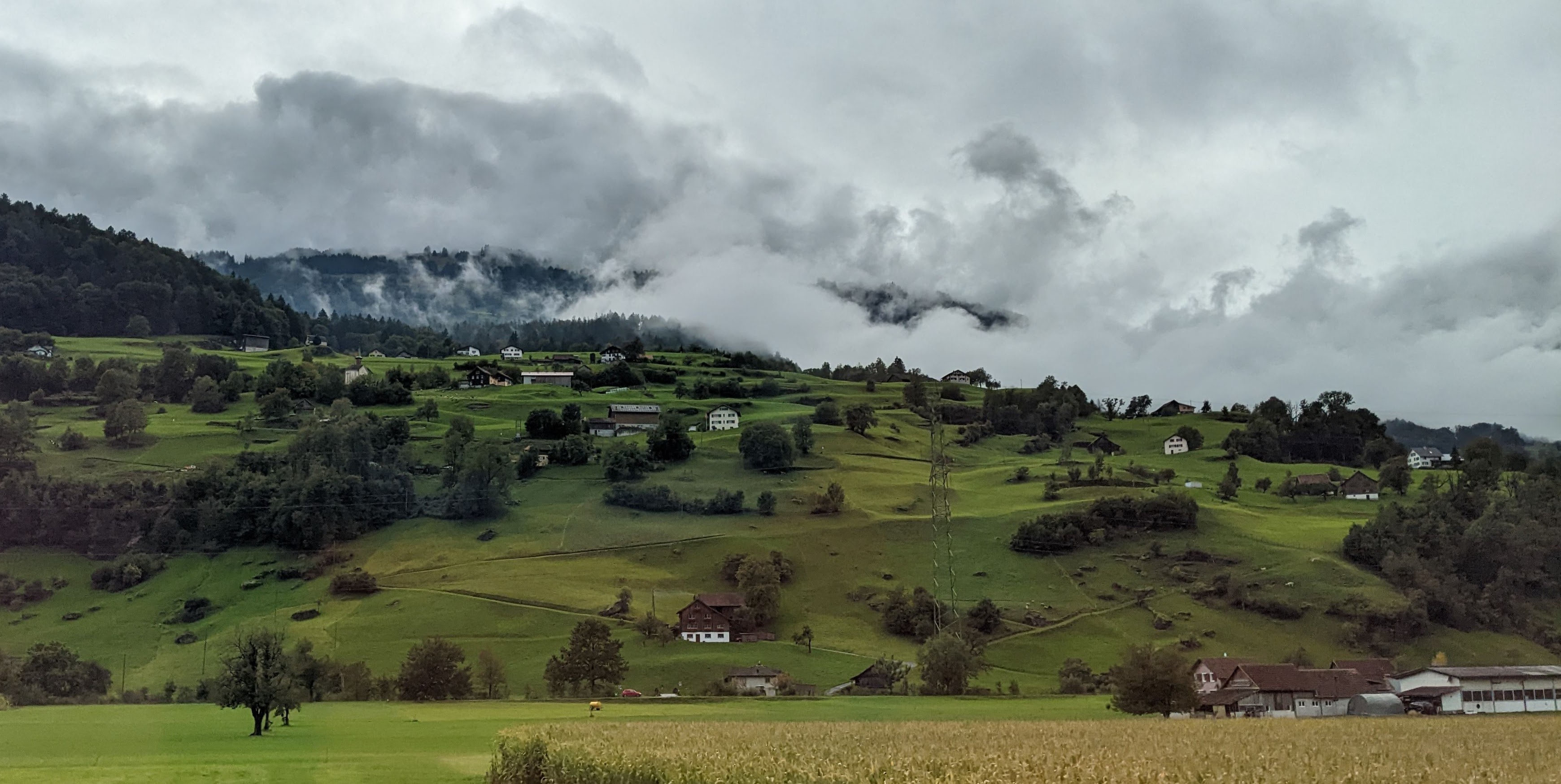
    I’ve remarked on the green felt effect of the Swiss countryside in earlier posts. Here’s more of it:

    That’s all for today, folks.


  • From Zurich to Como

    This is the blog of Mark Wordsworm, the travelling worm. I’m a 36-year-old bookmark (give or take a few years) and I proudly boast my own Hallmark serial number, 95 HBM 80-1. You’ll probably want to read all about me and my Travelling Companion (the TC).

    Today’s travel notes

    Me and the TC made the three-and-a-half hour drive from Zurich in Switzerland to Como in Italy. The drive is lovely. The town of Como was a bit of a disappointment.

    The book I’m in

    Bleed for Me, by Michael Robotham. A good who-dunnit investigated by a flawed psychologist, a cop, and an ex-cop. This worm is eating through the book with great enjoyment.

    Recommended restaurant

    Ristorante in Teatro, Piazza Giuseppe Verdi, Como. Great service and tasty gluten free food for those who need it.

    Travel tips

    Parking in Como is a nightmare. If you can, take public transport and avoid the stress.

    The photos

    Alas, dear reader, there’s no picture of yours truly in these photographs. Another disappointment, I know. However, here are a few mountains help to sweeten the blow.

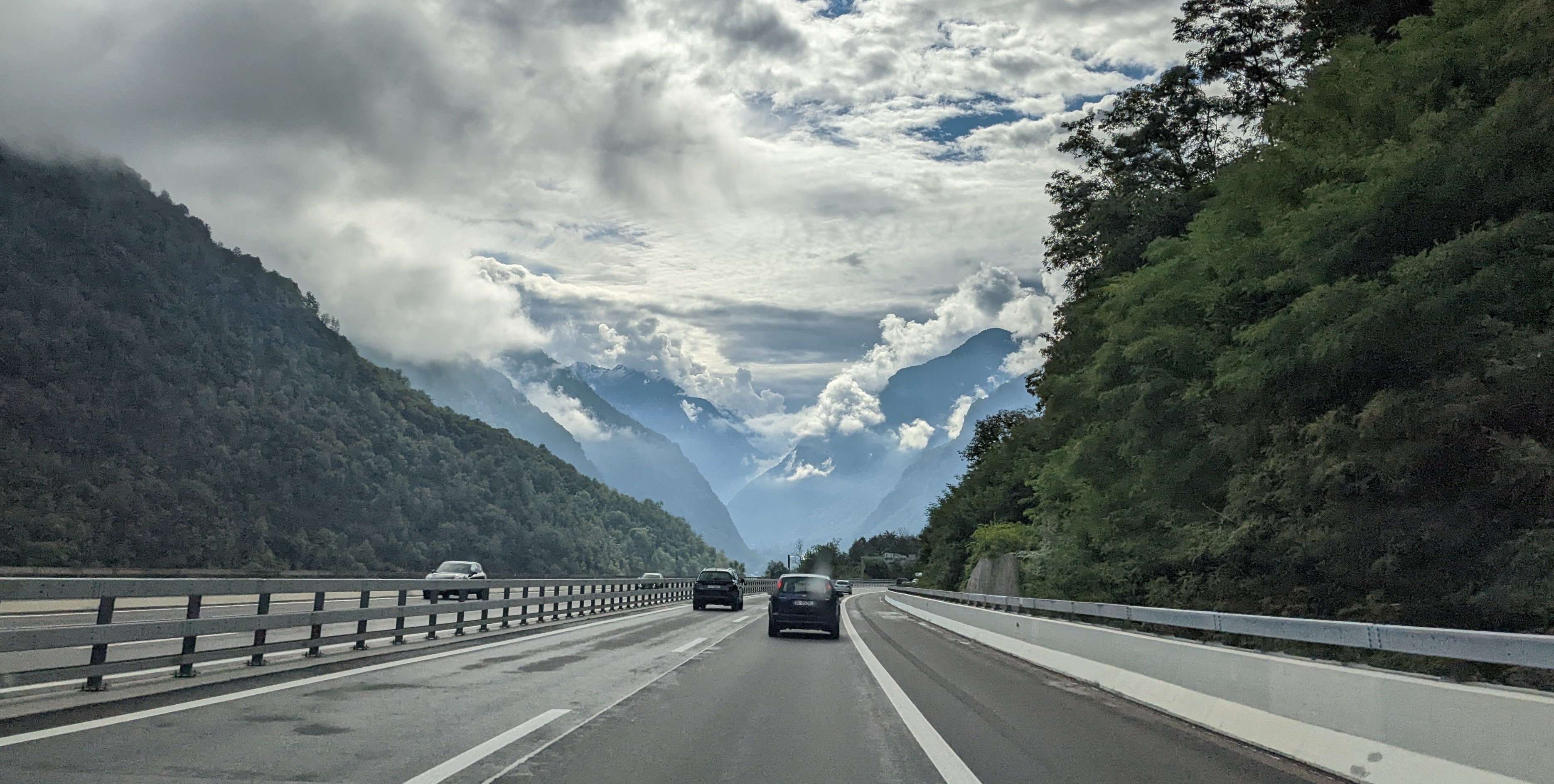
    On the road from Zurich to Como, near Giornico:

    A street scene in the town of Como:

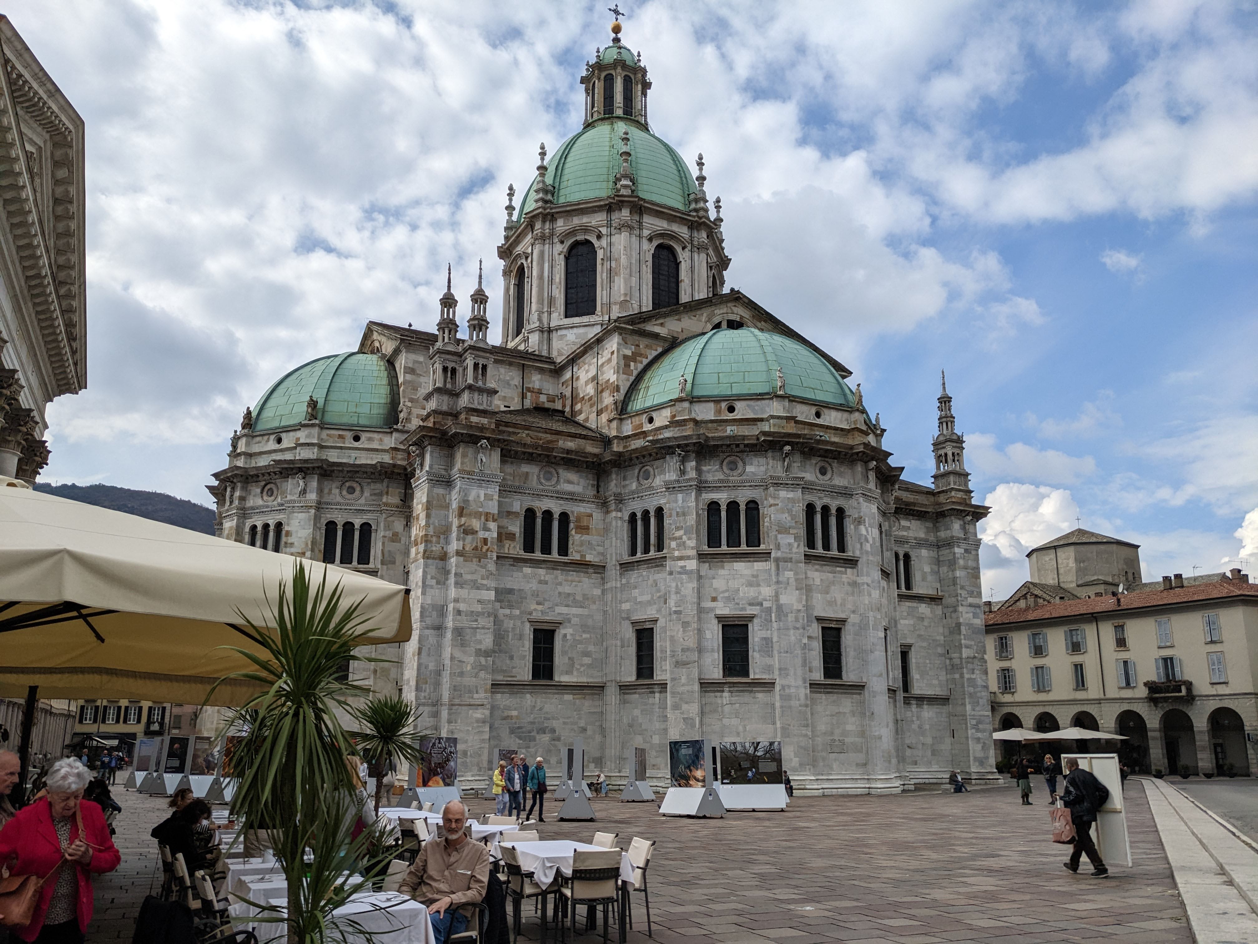
    The Cathedral of Santa Maria Assunta towers over a town square:

    Behind the cathedral is the Ristorante in Teatro, which offers good food with a view:

    The Como waterfront, on the south end of Lake Como:

    A view of the lake from the waterfront:

    Driving back through Switzerland, this worm was struck again and again by the greenness of everything. The towns appear to be positioned on a covering of green felt:

    On the banks of Lake Lucerne, a roof reaches out over the road to protect cars from avalanches and rock falls:

    That’s all for today, folks.

  • Lucerne’s covered bridges and painted buildings

    This is the blog of Mark Wordsworm, the travelling worm. I’m a 36-year-old bookmark (give or take a few years) and I proudly boast my own Hallmark serial number, 95 HBM 80-1. You’ll probably want to read all about me and my Travelling Companion (the TC).

    Today’s travel notes

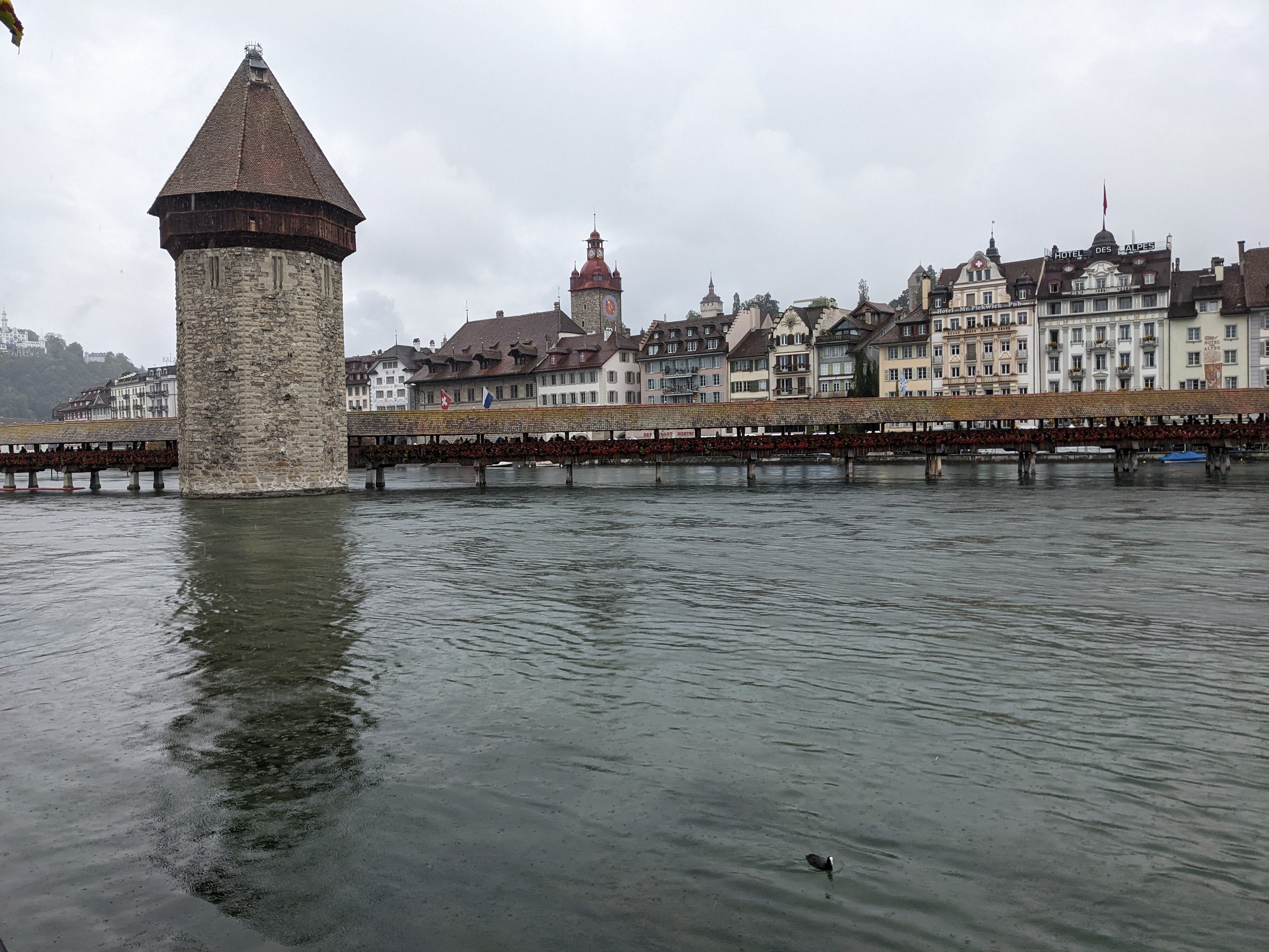
    Me and the TC spent a rainy day in lovely Lucerne. We strolled across the city’s two covered bridges, the Spreuer Bridge and the Chapel Bridge. We dodged raindrops to admire the city streets with their painted buildings and cobblestones.

    The book I’m in

    Bleed for Me, by Michael Robotham. A good who-dunnit investigated by a flawed psychologist, a cop, and an ex-cop. This worm is eating through the book with great enjoyment.

    Travel tips

    If you hire a car, make it a small one. Especially if it has proximity-warning beepers. The roads are narrow, and the spiralling paths into and out of parking garages are a nightmare.

    The photos

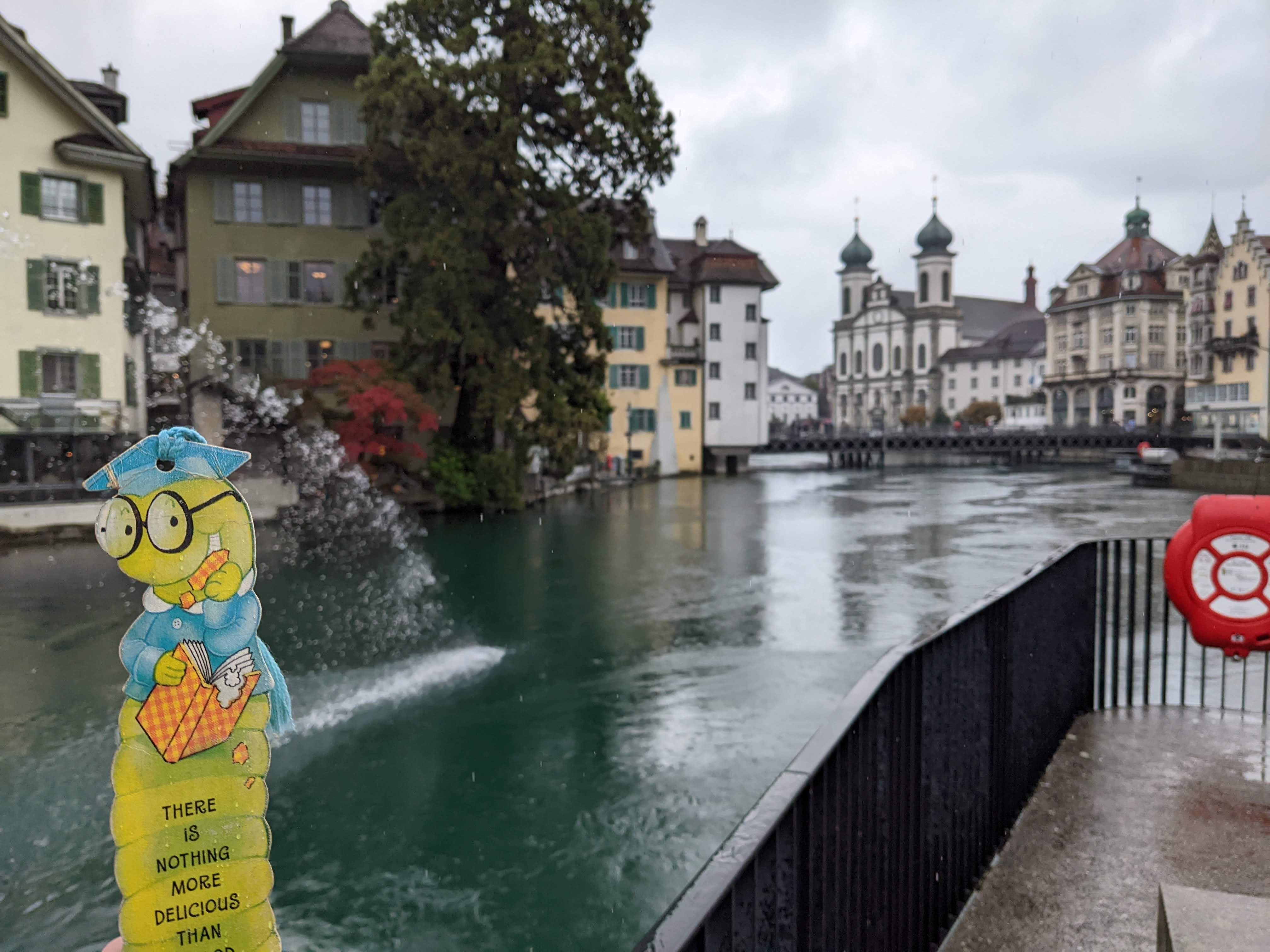
    Me on the Reuss river, looking towards the Spreuer Bridge. You can’t see the bridge yet, dear reader, as it’s in front of me. The TC, bless her cotton socks, was taken with the view behind me. I photo-bombed the shot:

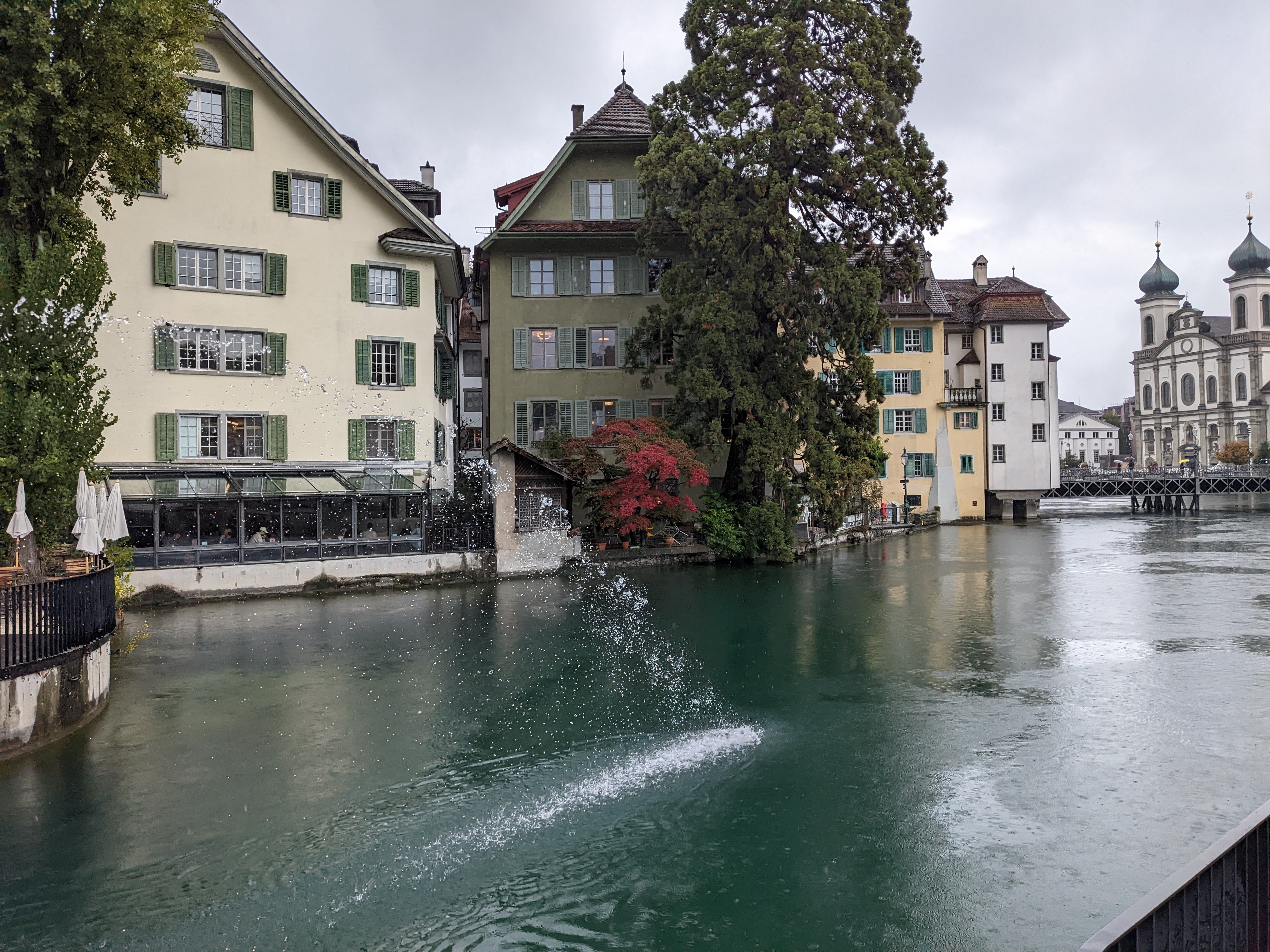
    Here’s the same scene, without yours truly. It’s near the Kleinwasserkraftwerk Mühlenplatz:

    The Spreuer Bridge is one of two covered bridges in Lucerne. The first half of the bridge was built in the 13th century, to connect the right bank of the river with the flour mills in the middle of the river. The rest the bridge, connecting to the left bank, was completed early in the 15th century. In 1566, the bridge was destroyed by a flood and then rebuilt: 

    A few minutes’ walk up the river is the Chapel Bridge – the oldest covered bridge in Europe, built in 1333. Yes folks, that’s 690 years ago!

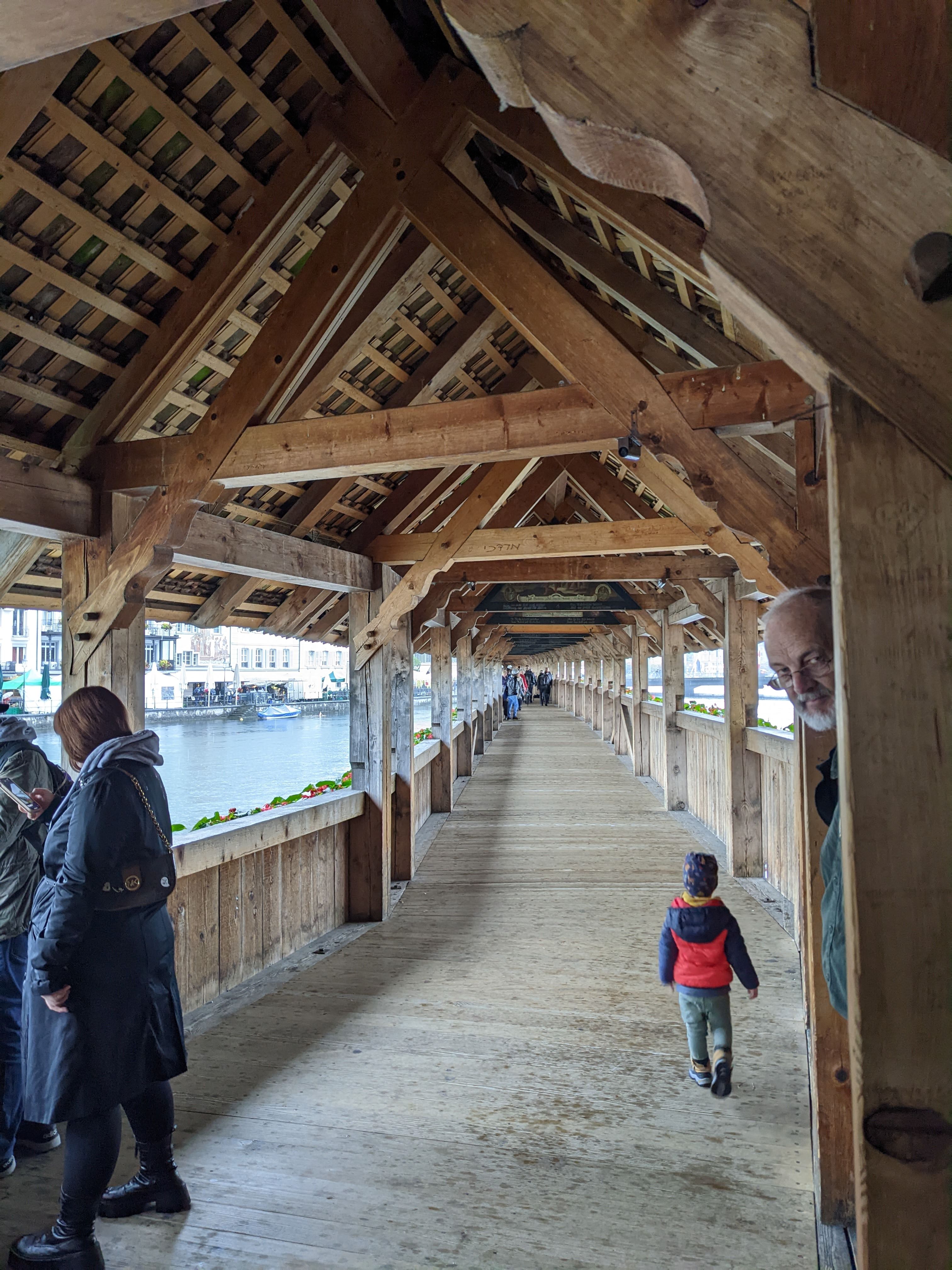
    Here’s a view down the length of the bridge:

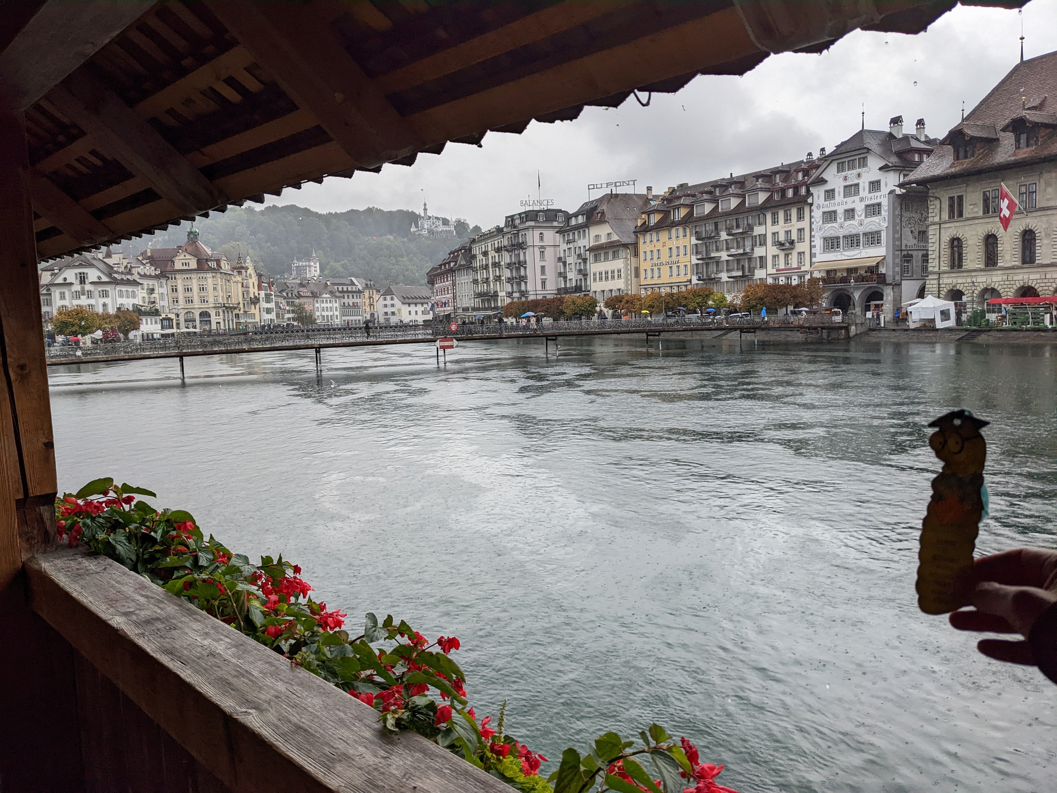
    Me again, with a view of the Reuss river from Chapel Bridge:

    Paintings hang in the triangular frames on both the Spreuer Bridge and the Chapel Bridge. Before 1993, the Chapel Bridge had a total of 147 paintings. Then in 1993, disaster struck. A fire broke out and destroyed two thirds of the paintings. Thirty of the paintings were restored, and many others were replaced with paintings that had been in storage since 1834:

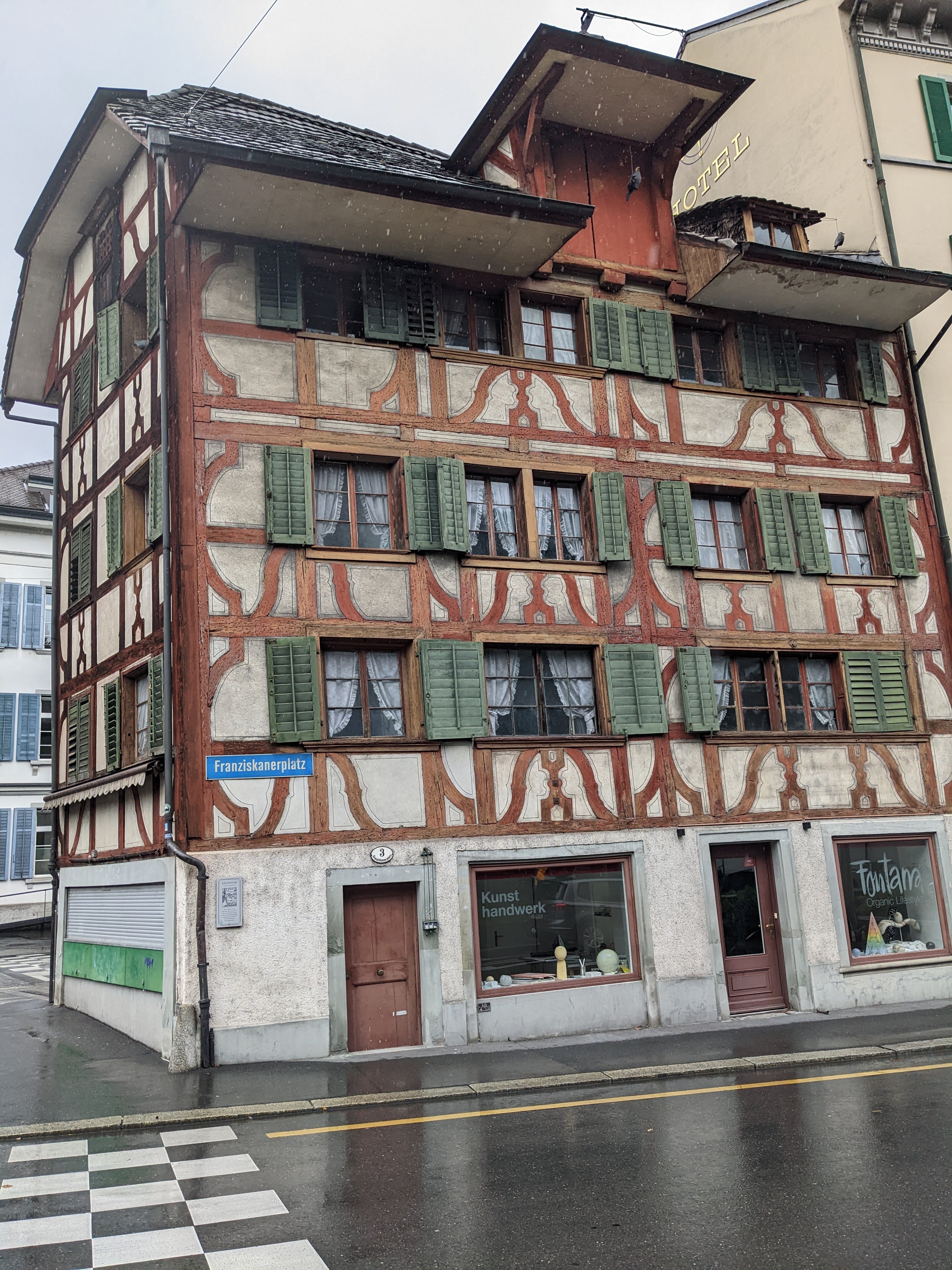
    The city of Lucerne combines old and new in pleasing architectural contours:

    Many of the buildings are painted with scenes that recall the city’s history:

    That’s all for today, folks.

  • Switzerland’s Klausen Pass in the clouds

    This is the blog of Mark Wordsworm, the travelling worm. I’m a 36-year-old bookmark (give or take a few years) and I proudly boast my own Hallmark serial number, 95 HBM 80-1. You’ll probably want to read all about me and my Travelling Companion (the TC).

    Today’s travel notes

    On a rainy Saturday in late September, me and the TC drove across Klausen Pass in the Swiss Alps. The pass is about one and a half to two hours’ drive from Zurich, depending on how many scenic diversions you make.
    The book I’m in

    Bleed for Me, by Michael Robotham. This worm is enjoying the book. It’s a good example of the author’s combination of believable characters caught up in a difficult situation.

    Travel tips

    It’s chilly in the Swiss Alps even in autumn. Layer up to enjoy the cold!

    The photos

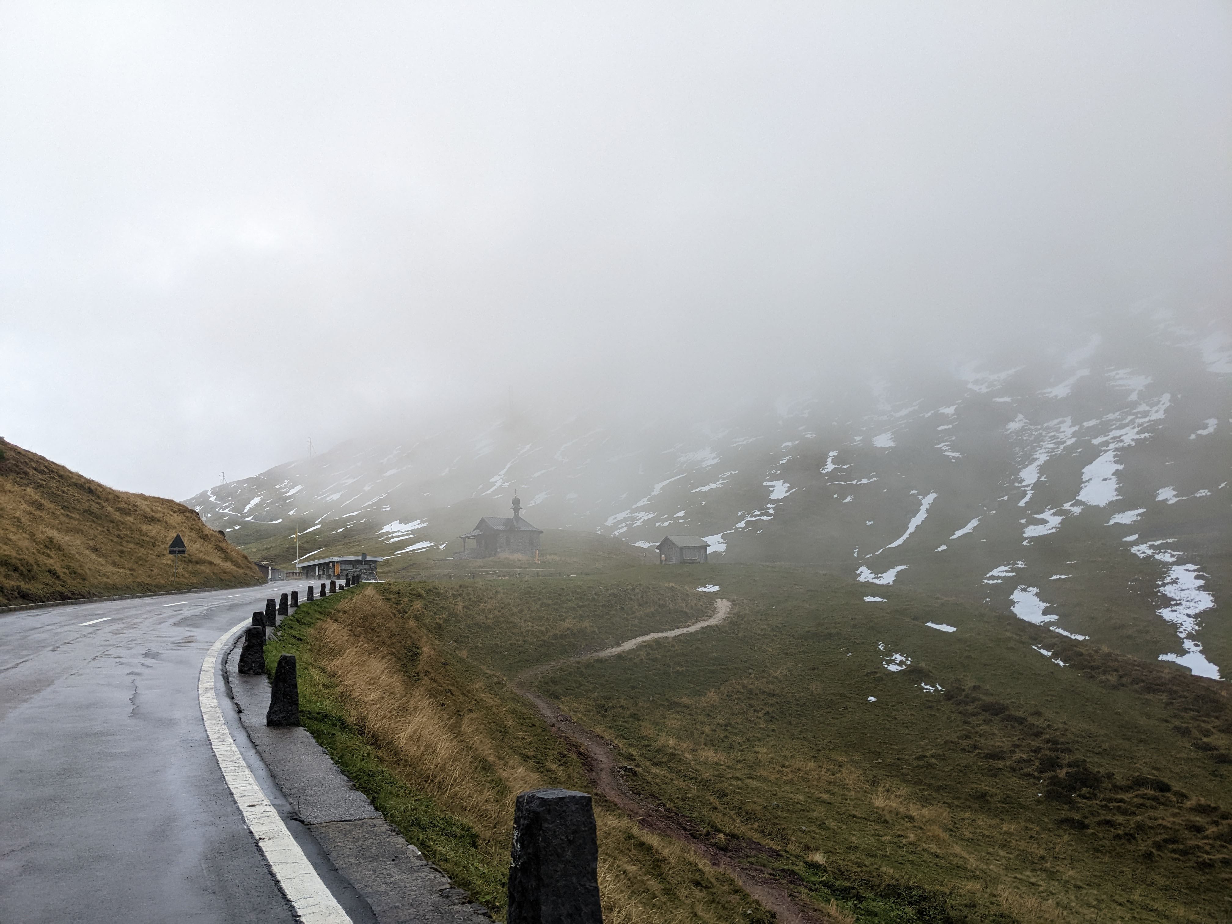
    Me at the little chapel at the top of Klausen Pass:

    The chapel is the Kapelle Bruder Klaus, built in 1717. It was shrouded in mist and surrounded by streaks of snow:

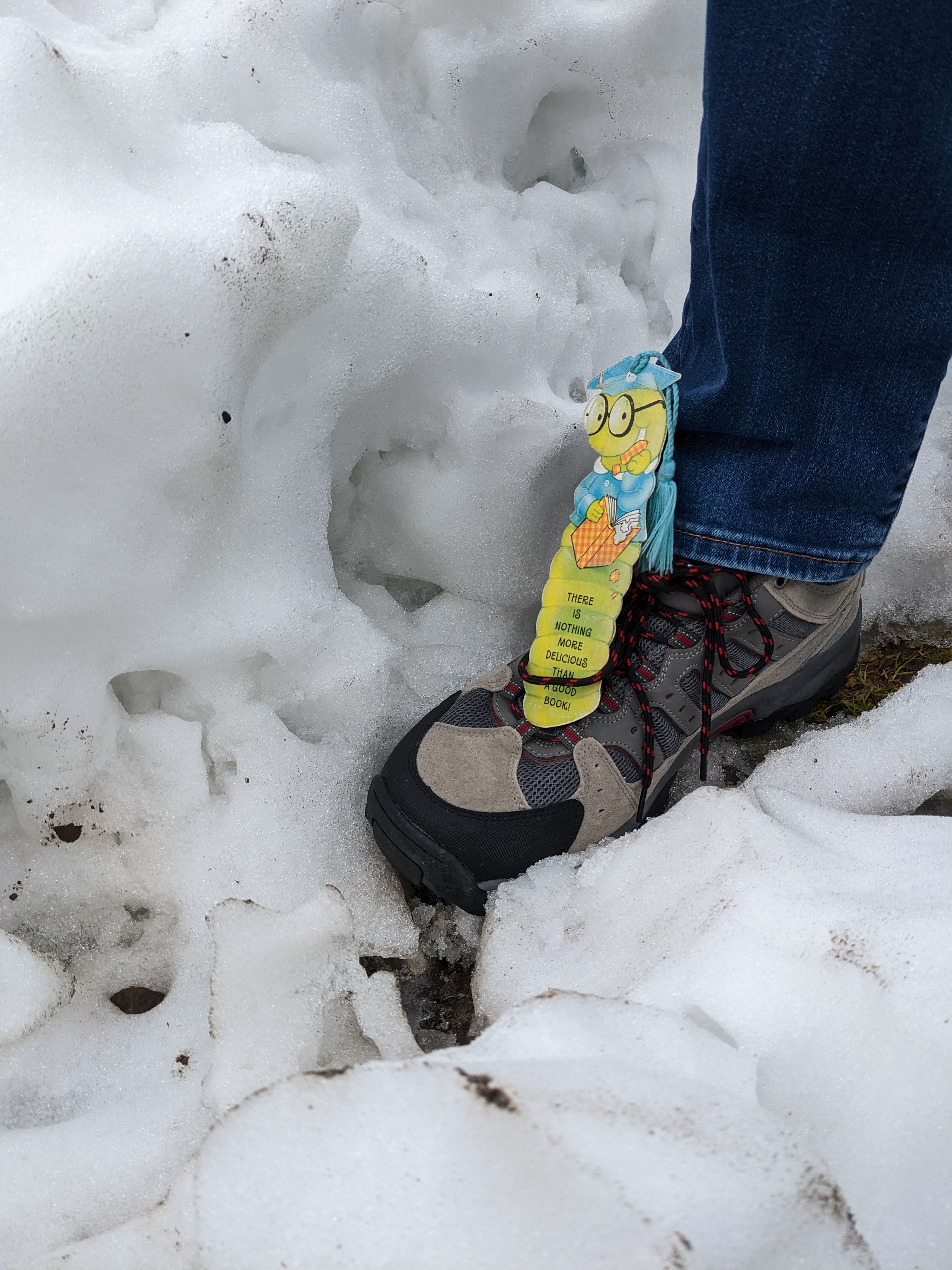
    We were lucky to be in the area in September. The road is usually closed between October and May, due to the high snowfall on the pass. Me again, catching a ride on the TC’s shoe to avoid the snow pile that towered over my head:

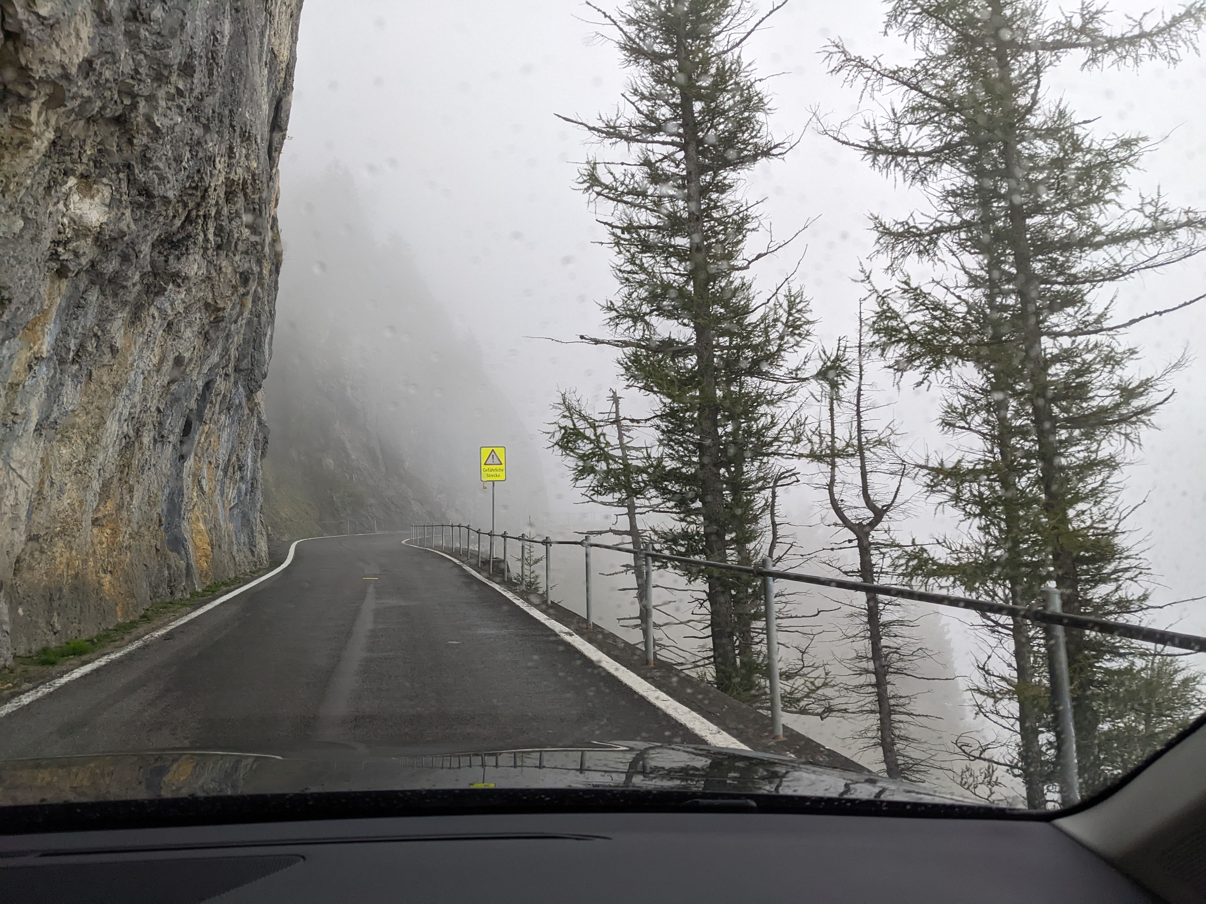
    The Klausen Pass started out as a cattle track in the Middle Ages. In the year 1196, the track was controlled by a customs office in Bürglen. The highest point of the pass is at an elevation of 1,948 metres (6,391 feet). Now a fully-tarred road, it still offers plenty of interesting sections adorned with danger signs like this one remarking that we were approaching a Gefärliche Strecke:

    Waterfalls peeked out through the clouds:

    The views were gorgeous, of green valleys and toy-town settlements:

    Cows clanged musically as they grazed:

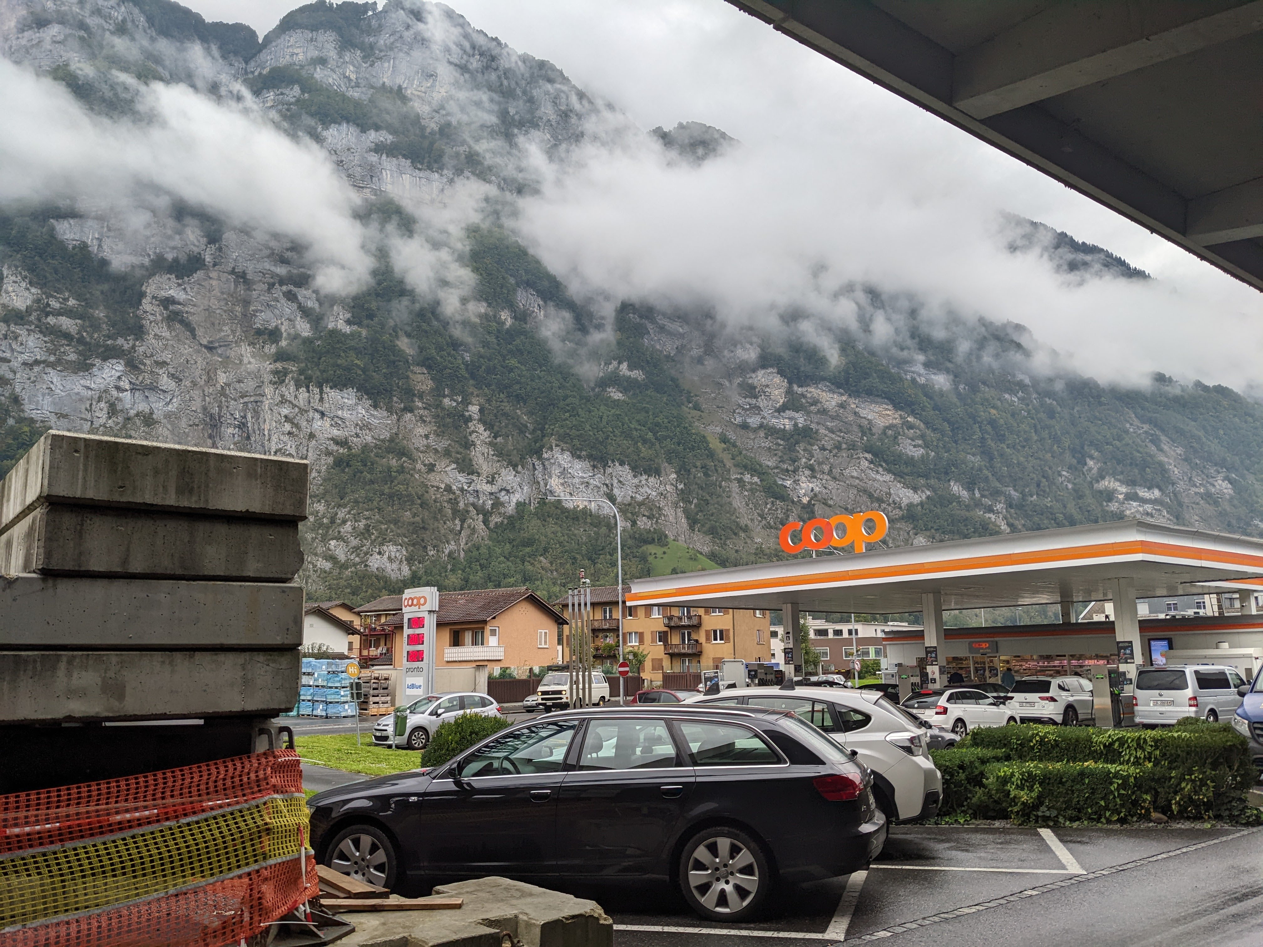
    When we reached the bottom of the pass, we stopped for fuel. The TC, bless her cotton socks, was entranced by the way the mountains loomed all round. “They just go pffffrrrt, straight up!” she remarked.

    That’s all for today, folks.