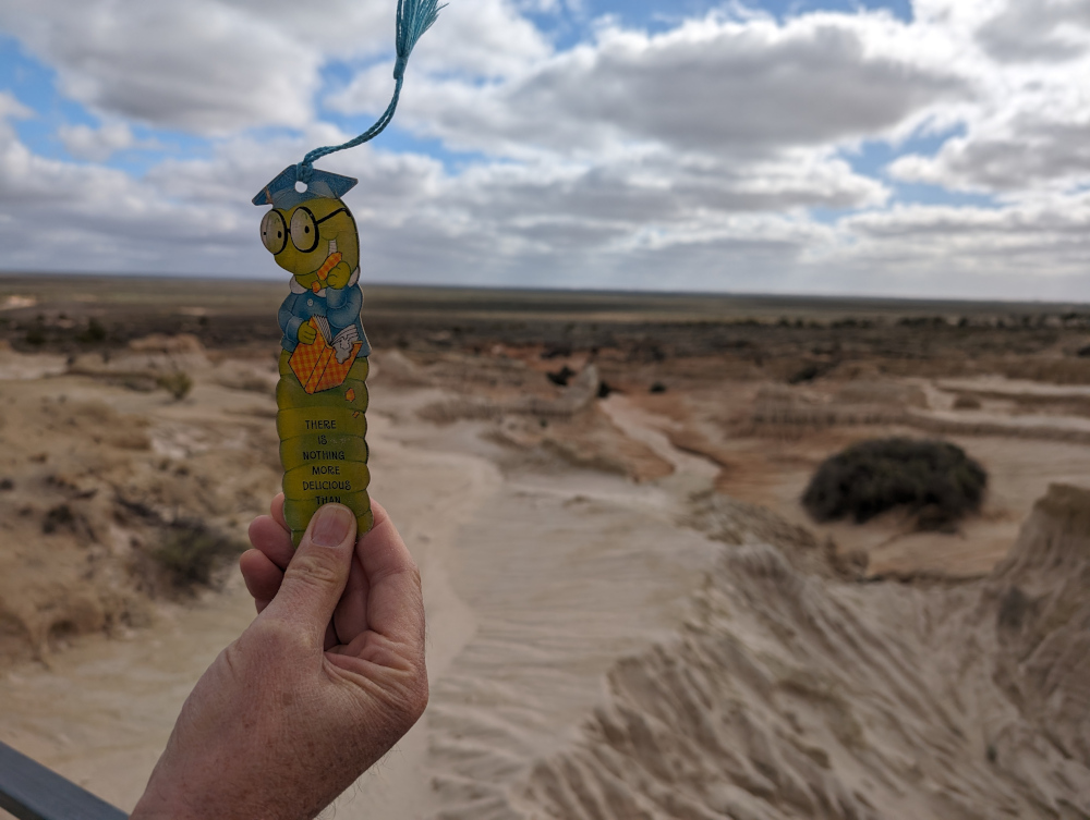
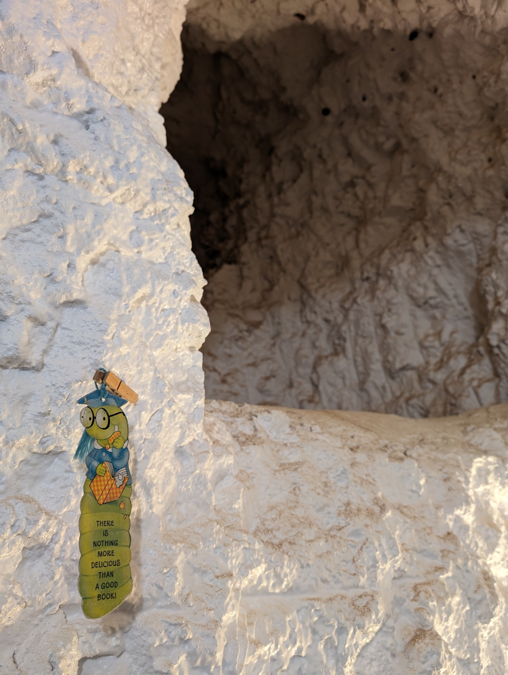
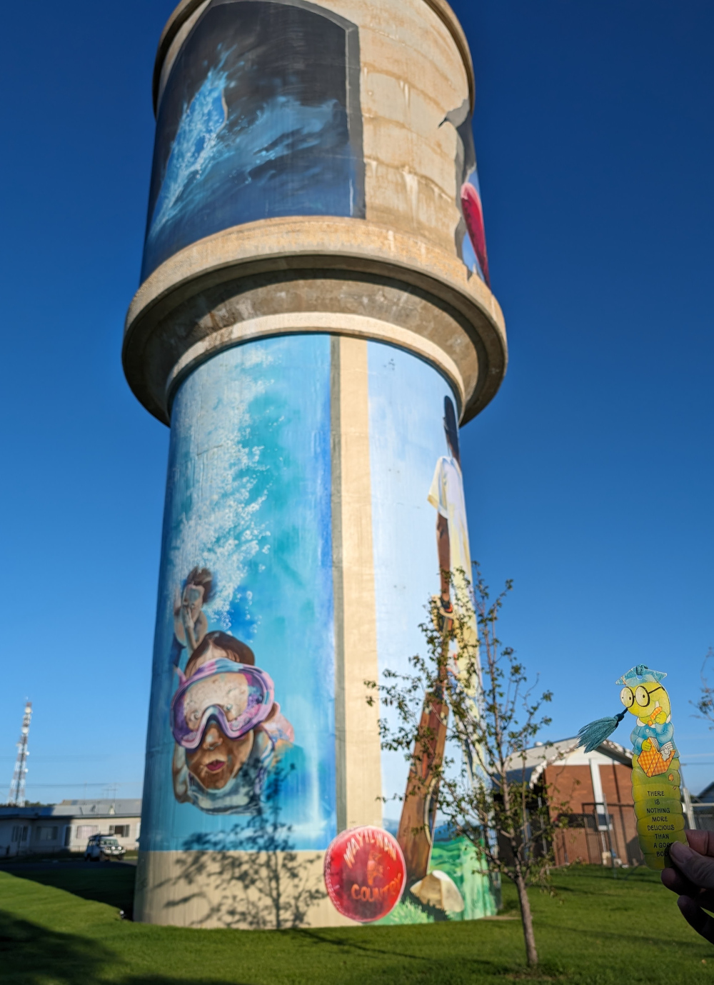
This is the blog of Mark Wordsworm, the travelling worm. I’m a 40-year-old bookmark (give or take a few years) and I proudly boast my own Hallmark serial number, 95 HBM 80-1. You’ll probably want to read all about me and my Travelling Companion (the TC).
Today’s travel notes
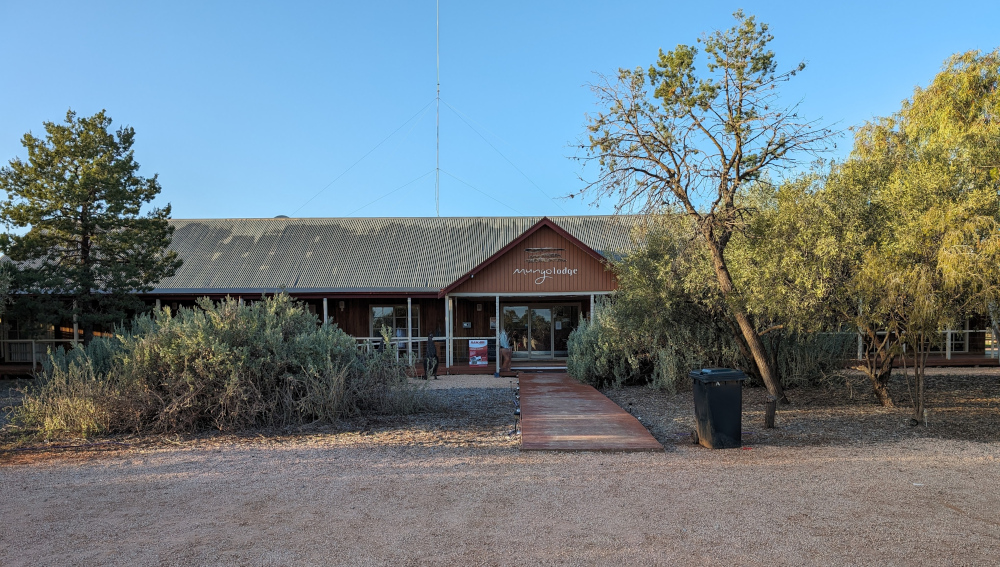
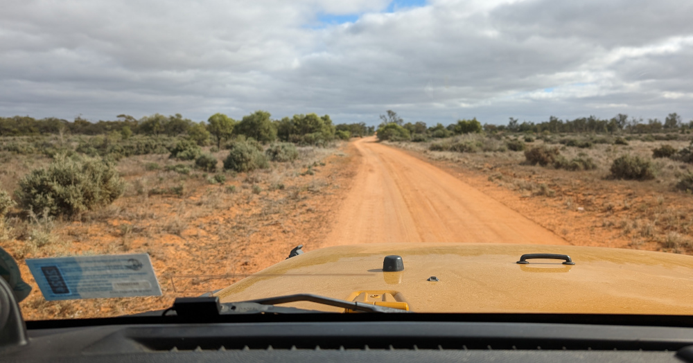
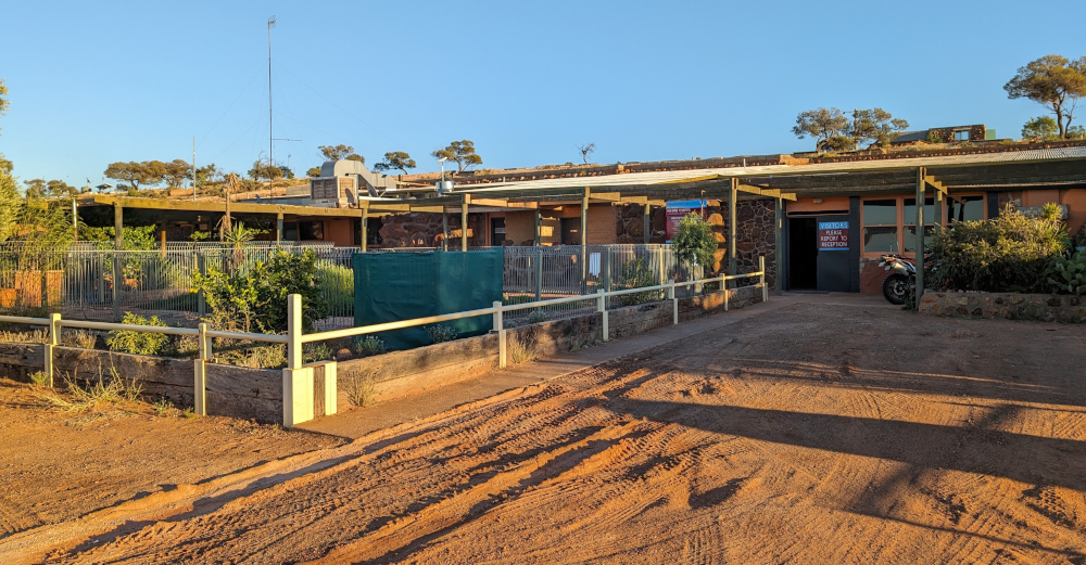
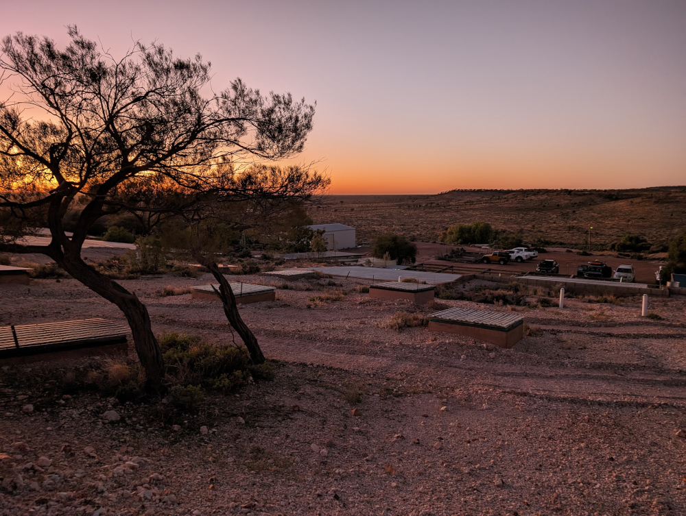
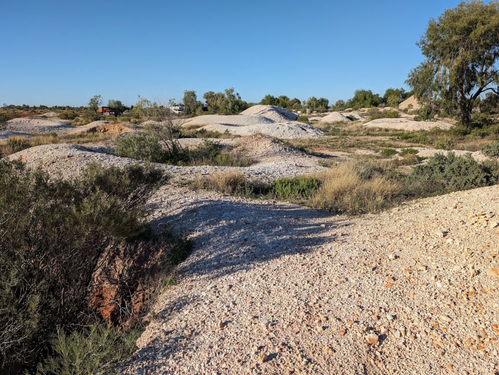
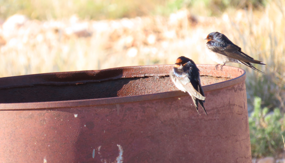
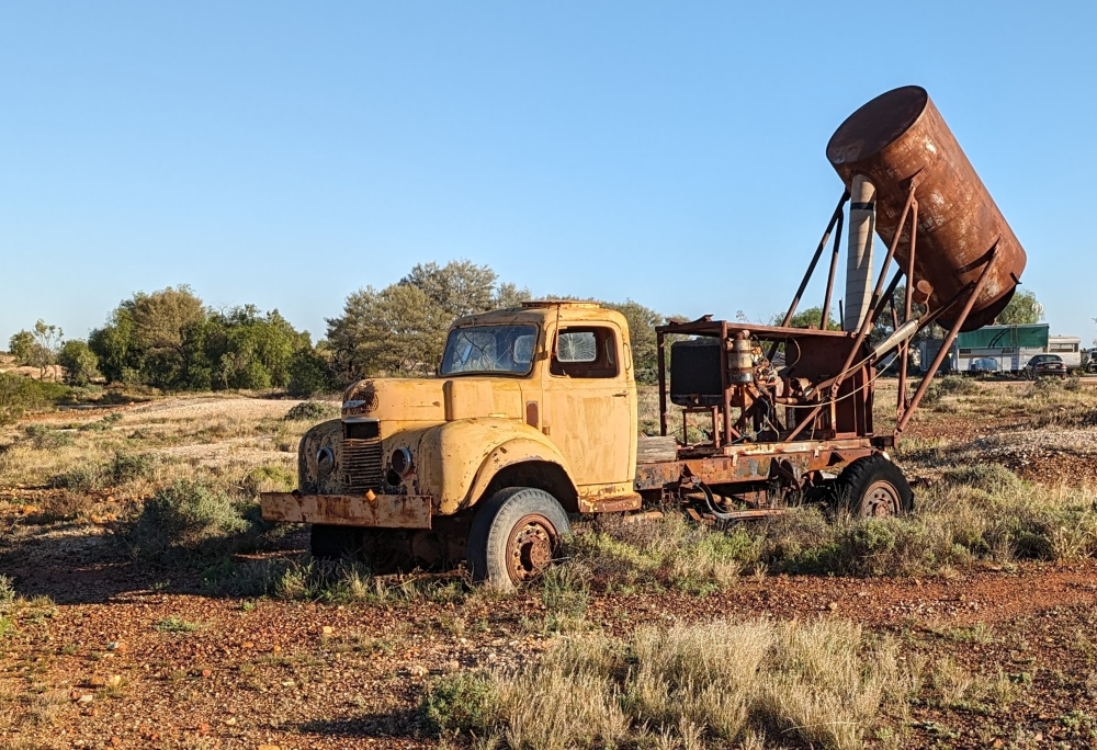
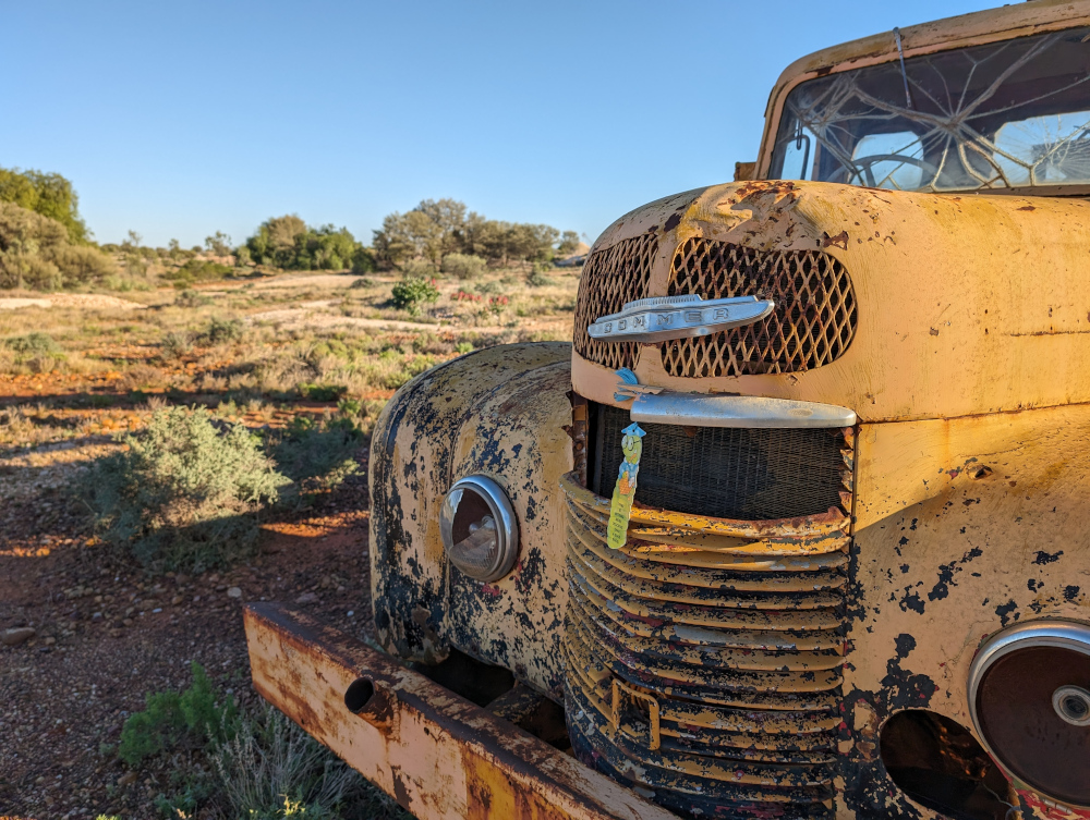
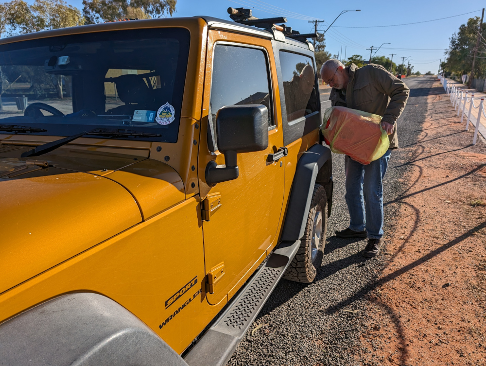
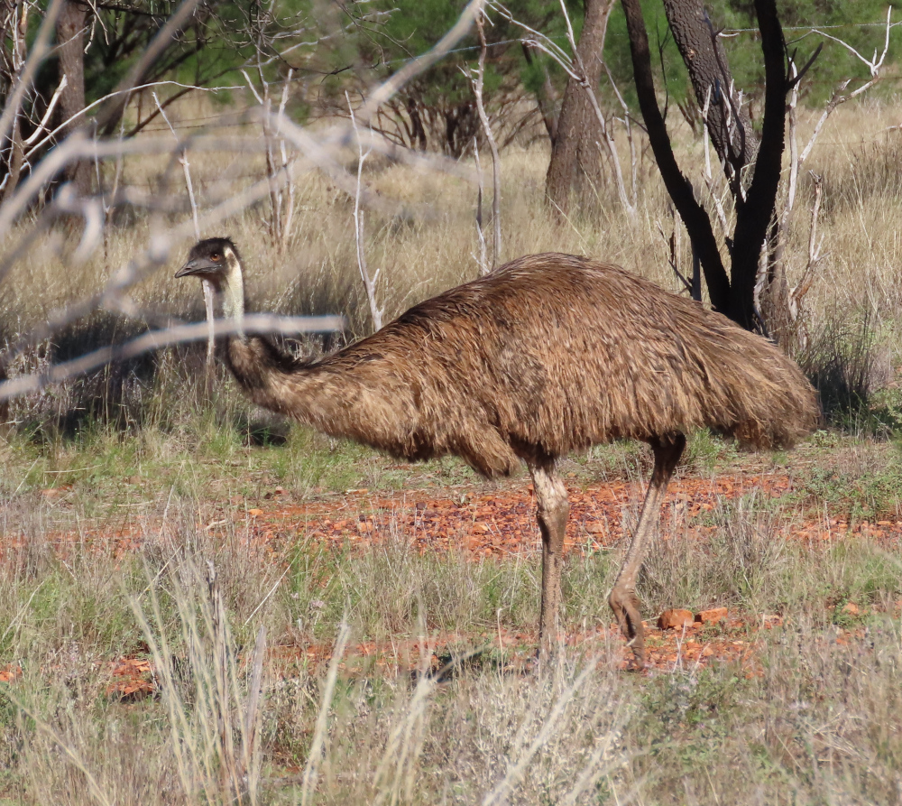
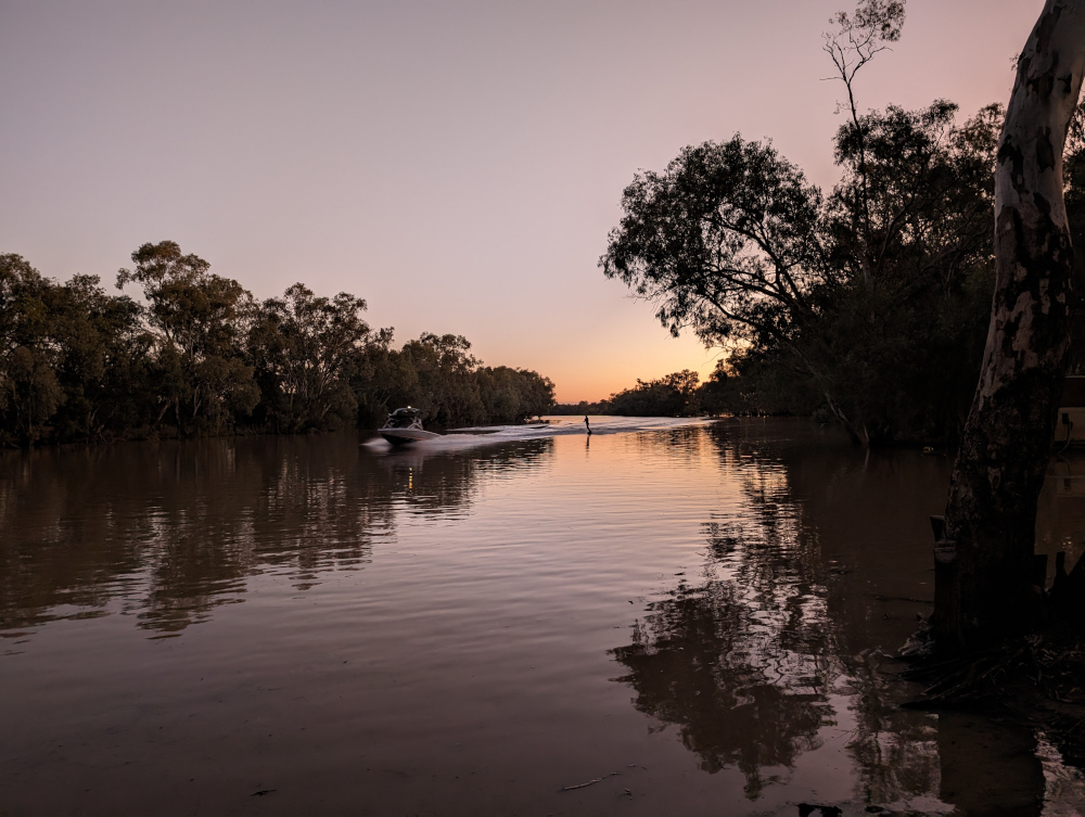
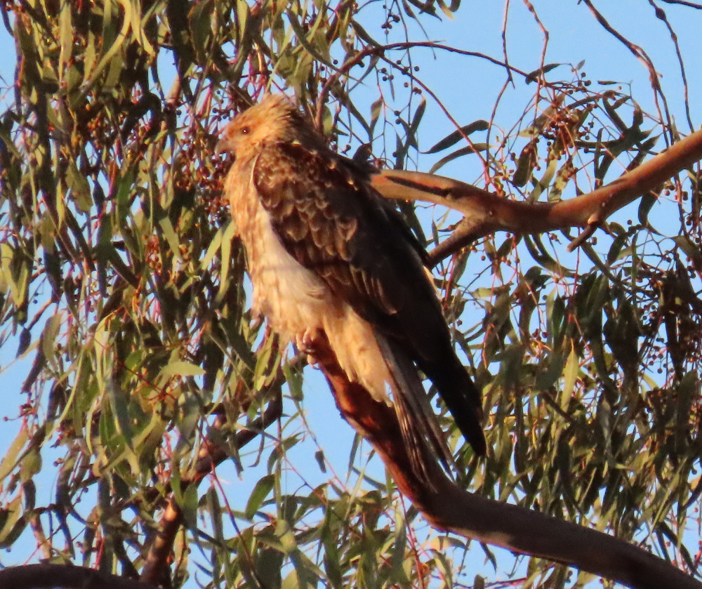
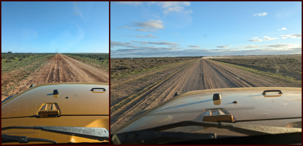
Me and the TC recently took our first extended trip into the Australian Outback. My previous posts describe the sights at White Cliffs, Lake Mungo, and more. This post is slightly different: it focuses on the roads. If you’re thinking of making this trip yourself, this collage gives you an idea of what to expect.
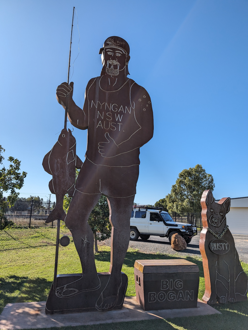
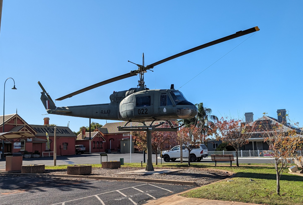
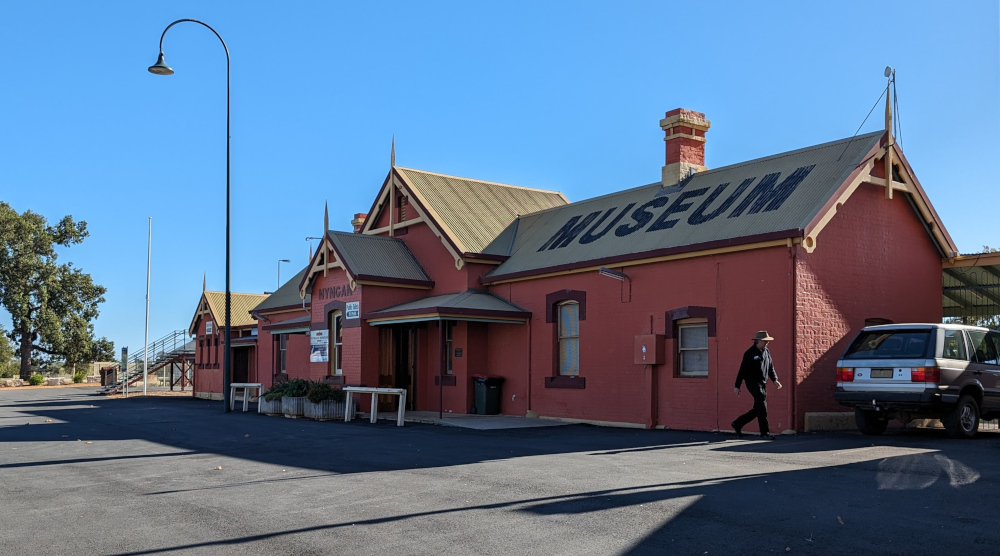
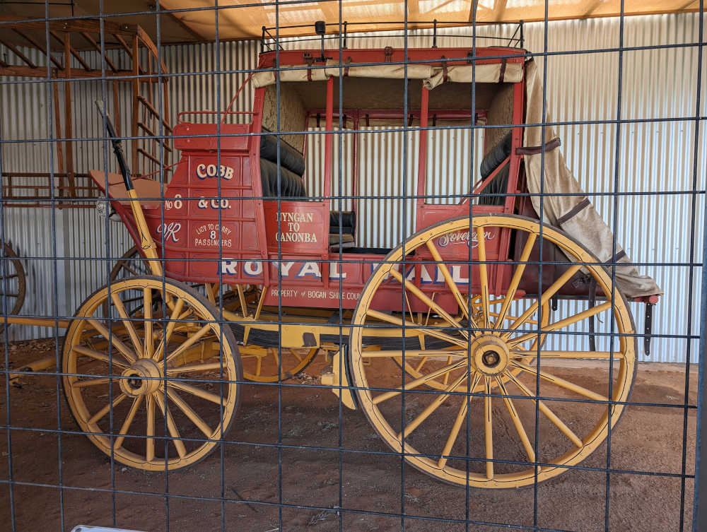
In total, we travelled approximately 2,850 km (1,770 miles). We started in Sydney on day one, passing through Dubbo to Nyngan. On day two, we drove from Nyngan via Cobar and Wilcannia to White Cliffs. Day three took us through the Willandra Lakes Region to Mungo National Park. On day four, we explored the park. On day five, we started our trip back towards Sydney, stopping overnight in Cowra. Day six saw us arriving back in Sydney in time for a late lunch.
The book I’m in
Where Song Began, by Tim Low. A telling of the origins on the Australian continent of all the world’s songbirds, rich in detail and convincingly told.
Travel tips
Some parts of the Outback are far from anywhere else. Take supplies of food, water, fuel for your vehicle, and warm clothes. If possible, travel in a convoy of at least two vehicles and take a personal locator beacon (PLB).
The photos
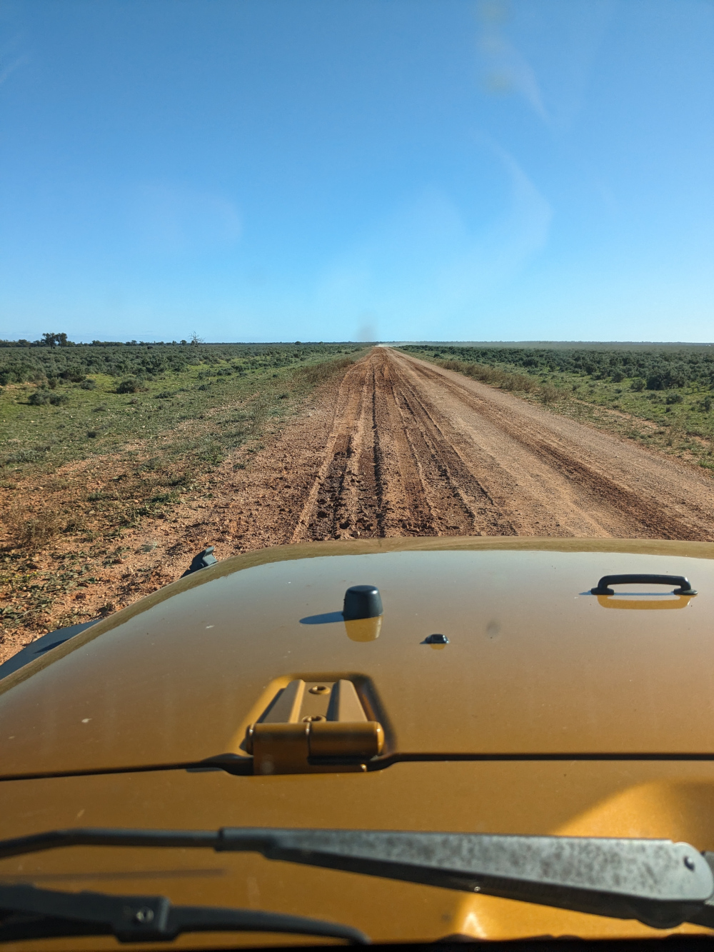
Heading west from Sydney towards Cobar, the roadside alternates between red dirt and silver grass:

Opal Miner’s Way, on the way to White Cliffs:

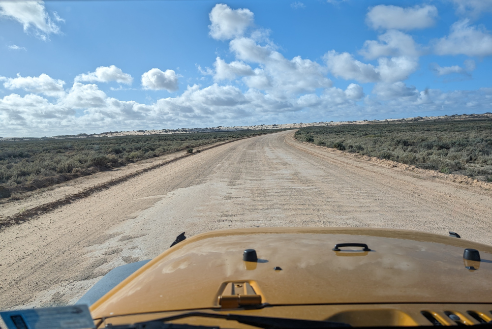
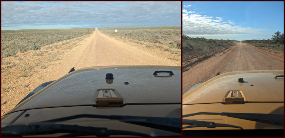
Garnpung Lake Road and Ivanhoe Road, Pan Ban:
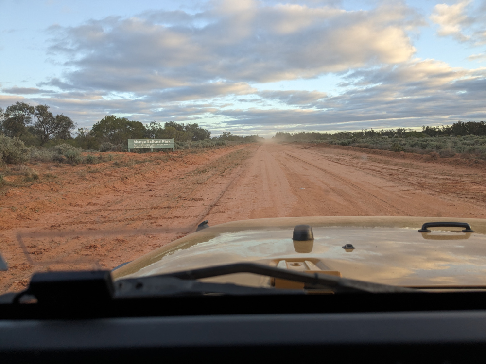
Garnpang Road, entering Mungo National Park and later with the Lake Garnpang sign:

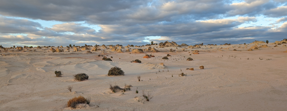
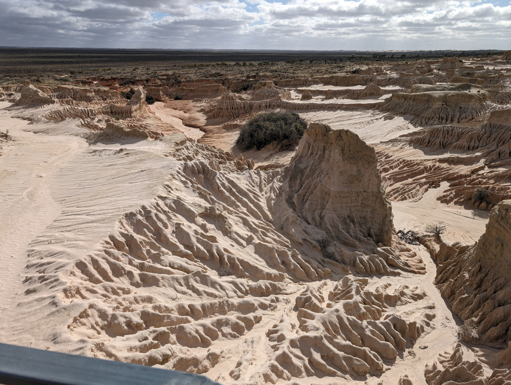
Mungo National Park, approaching the Walls of China:

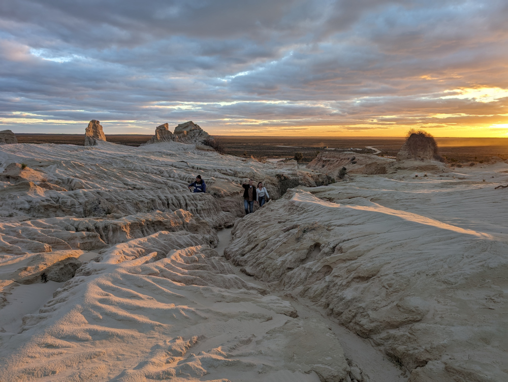
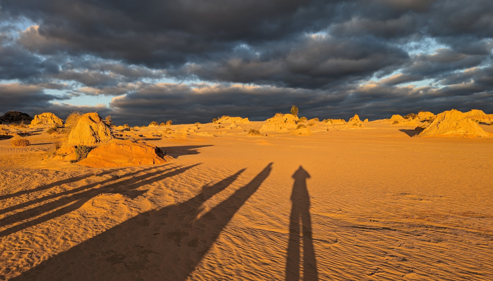
On the self-guided drive in Mungo National Park:

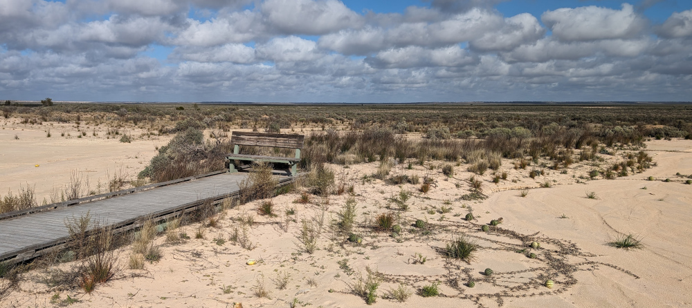
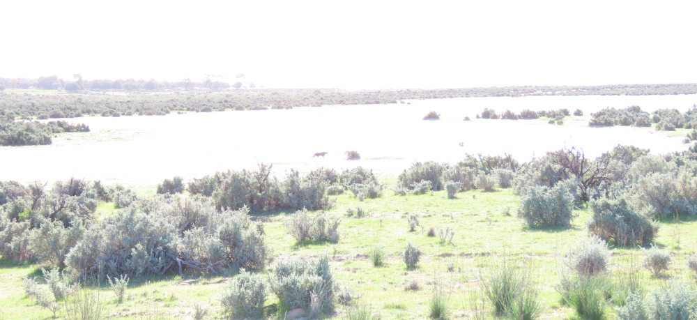
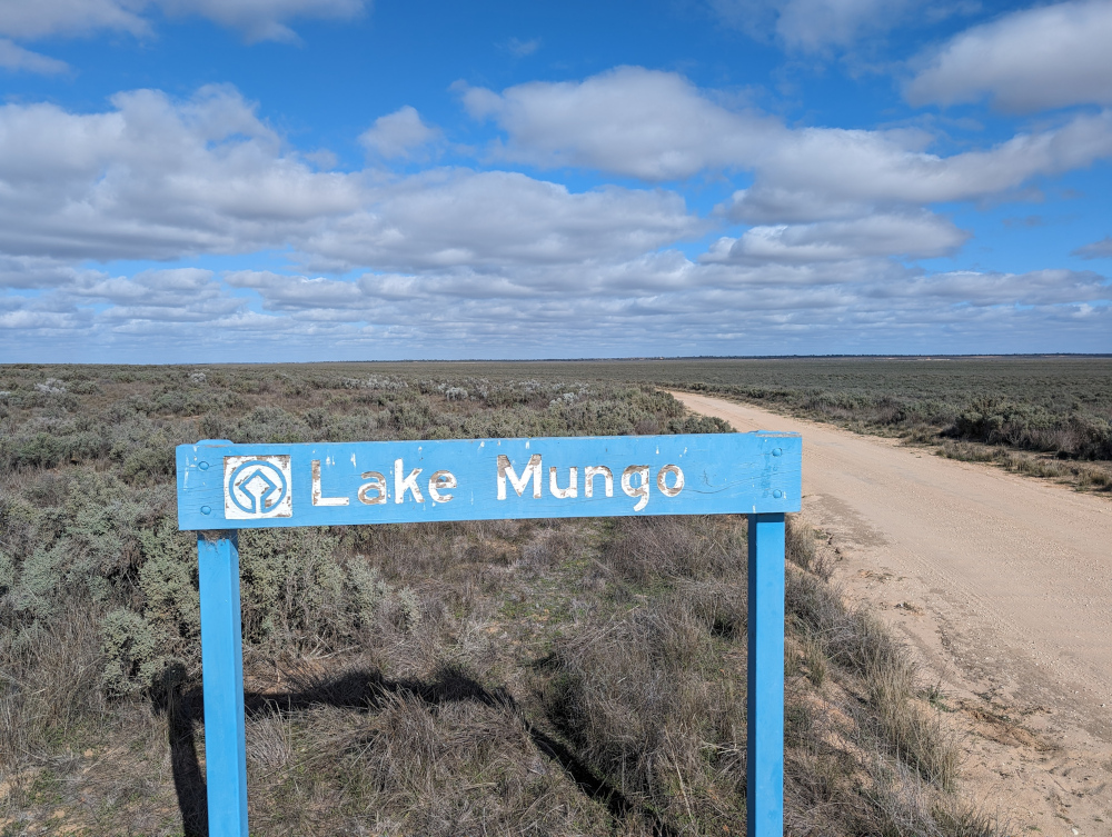
Entering Lake Mungo, a lake bed that’s been dry for more than ten thousand years:
More Lake Mungo road scenes:

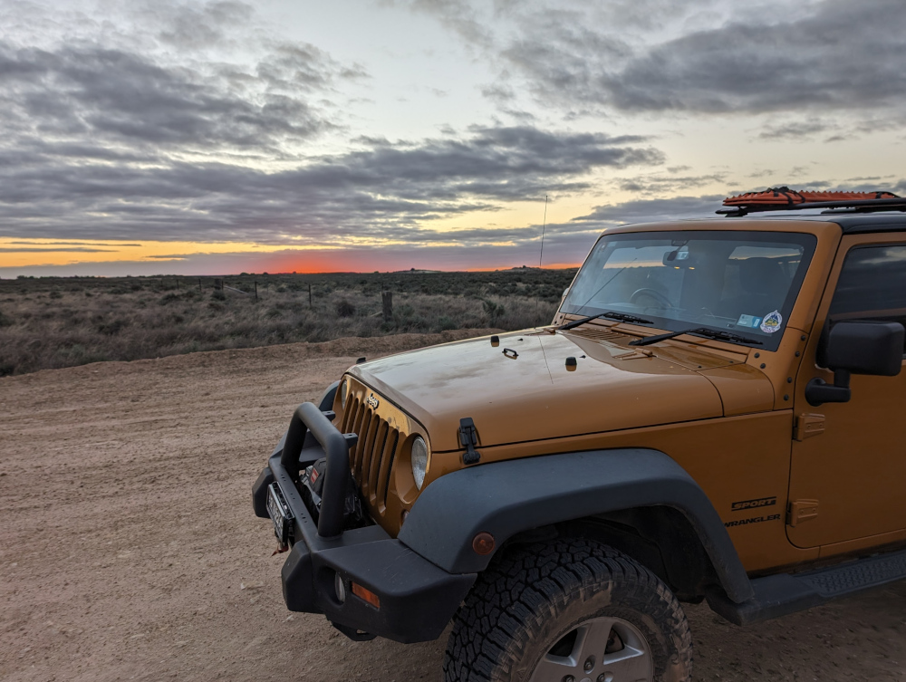
Leaving Mungo National Park and Arumpo:
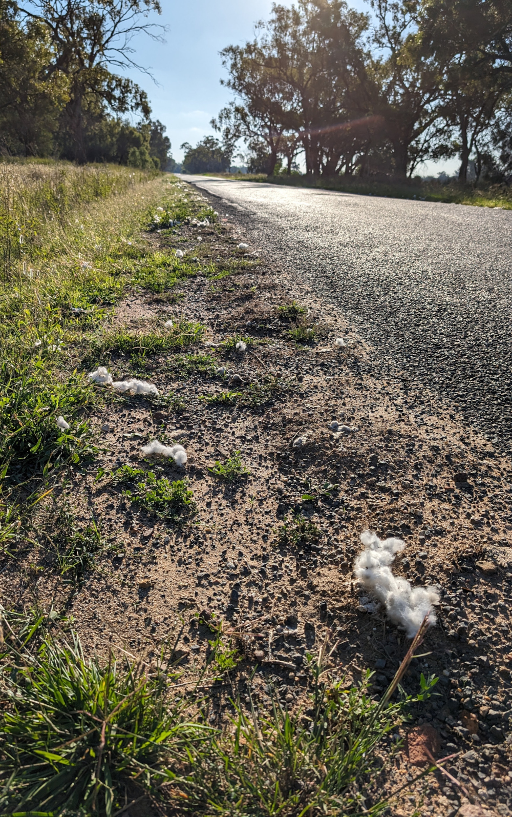
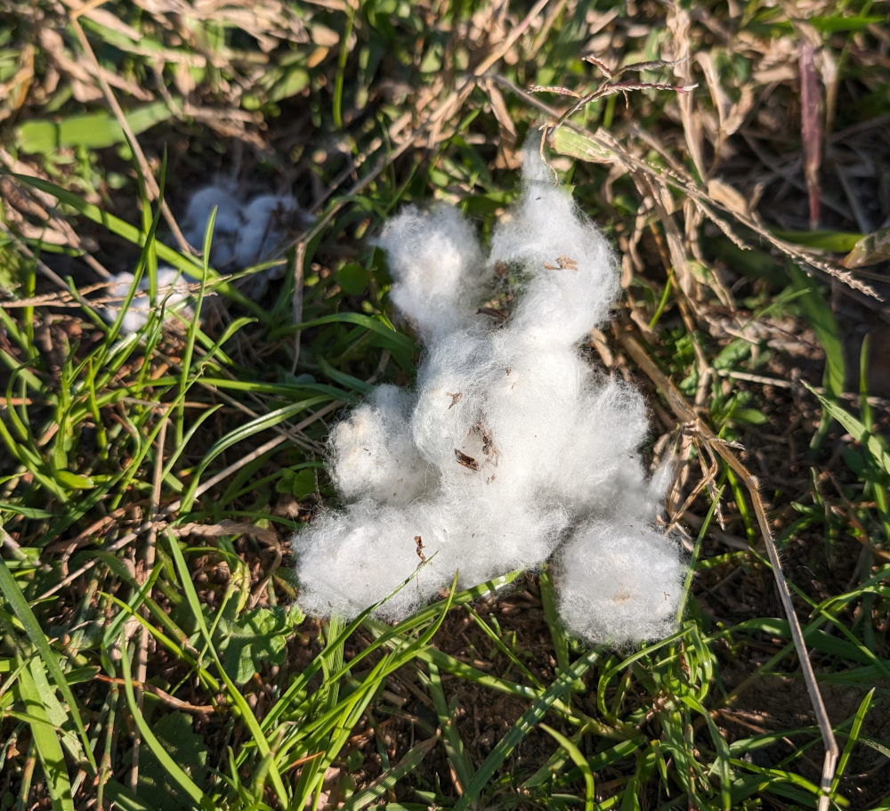
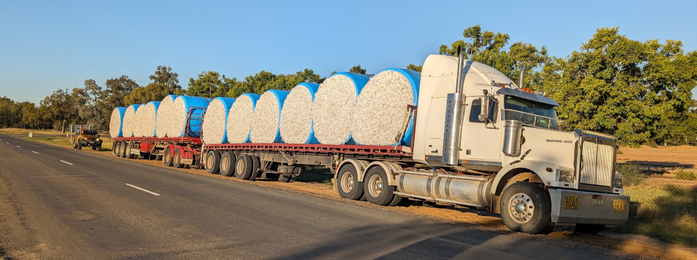
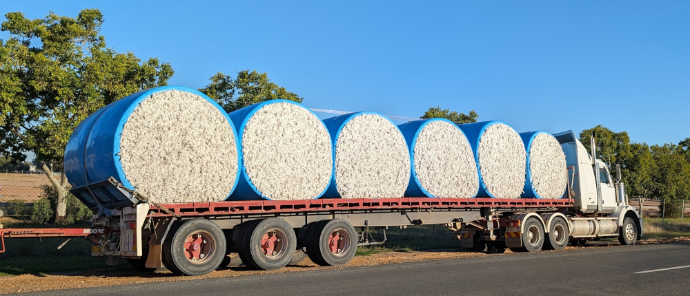
Sturt Highway, with cotton clouds and a cotton lining left by the road trains:
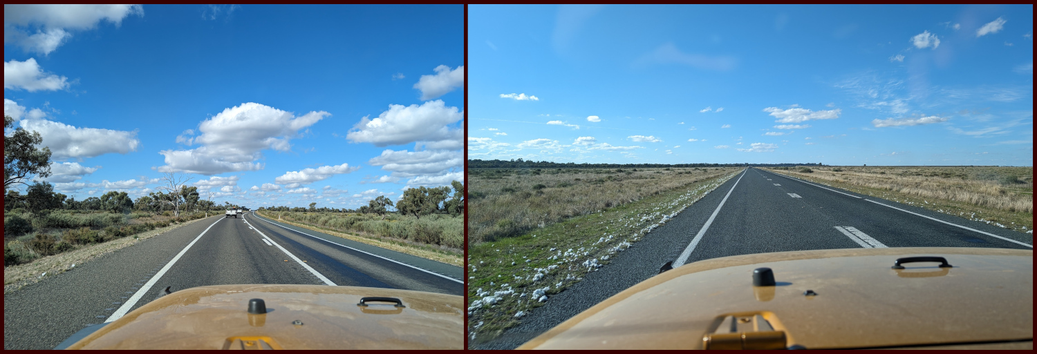
Getting close to home, on Murrumbidgee River Road and Mid Western Highway:

That’s all for today, folks.