In this post: Spring flowers in the Flinders Ranges, South Australia.
This is the blog of Mark Wordsworm, the travelling worm. I’m a 40-year-old bookmark (give or take a few years) and I proudly boast my own Hallmark serial number, 95 HBM 80-1. You’ll probably want to read all about me and my Travelling Companion (the TC).
Today’s travel notes
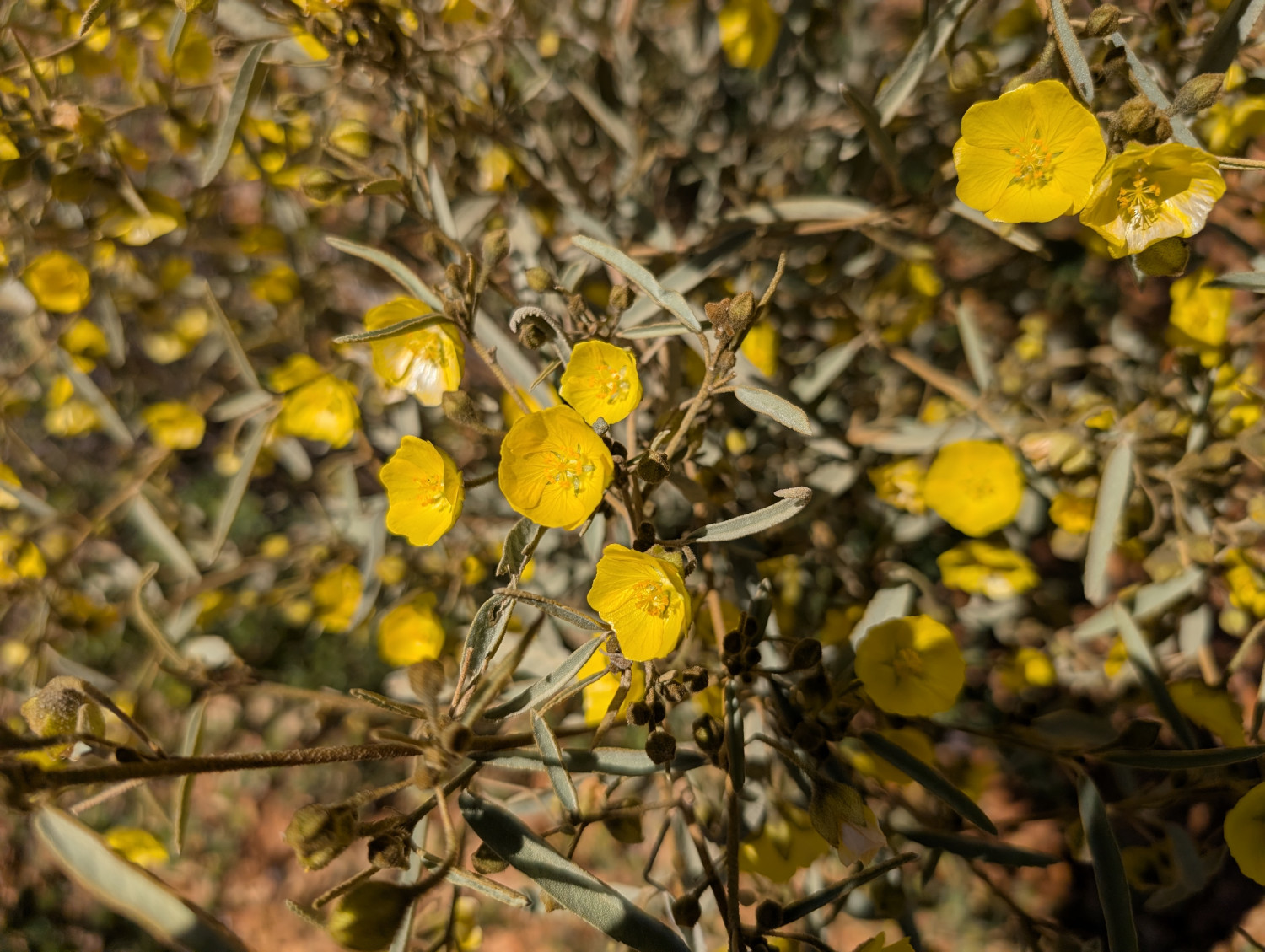
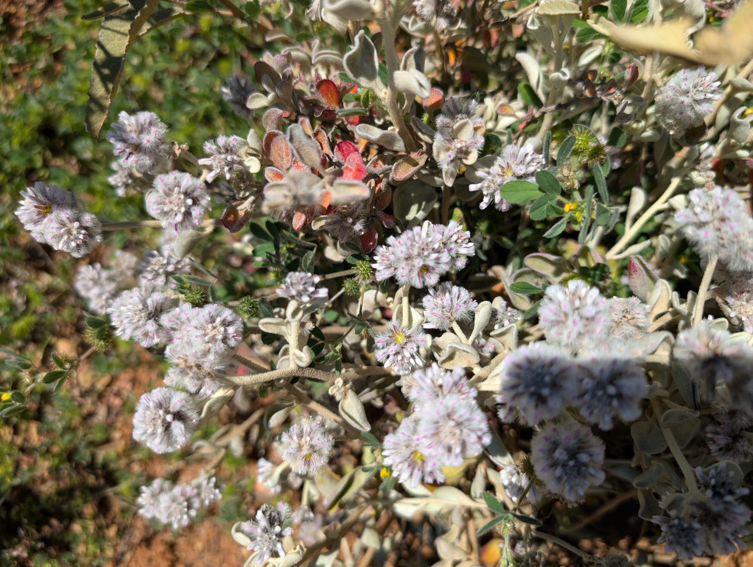
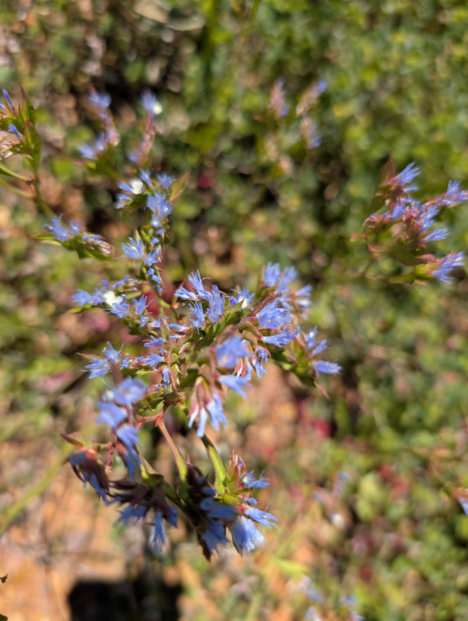
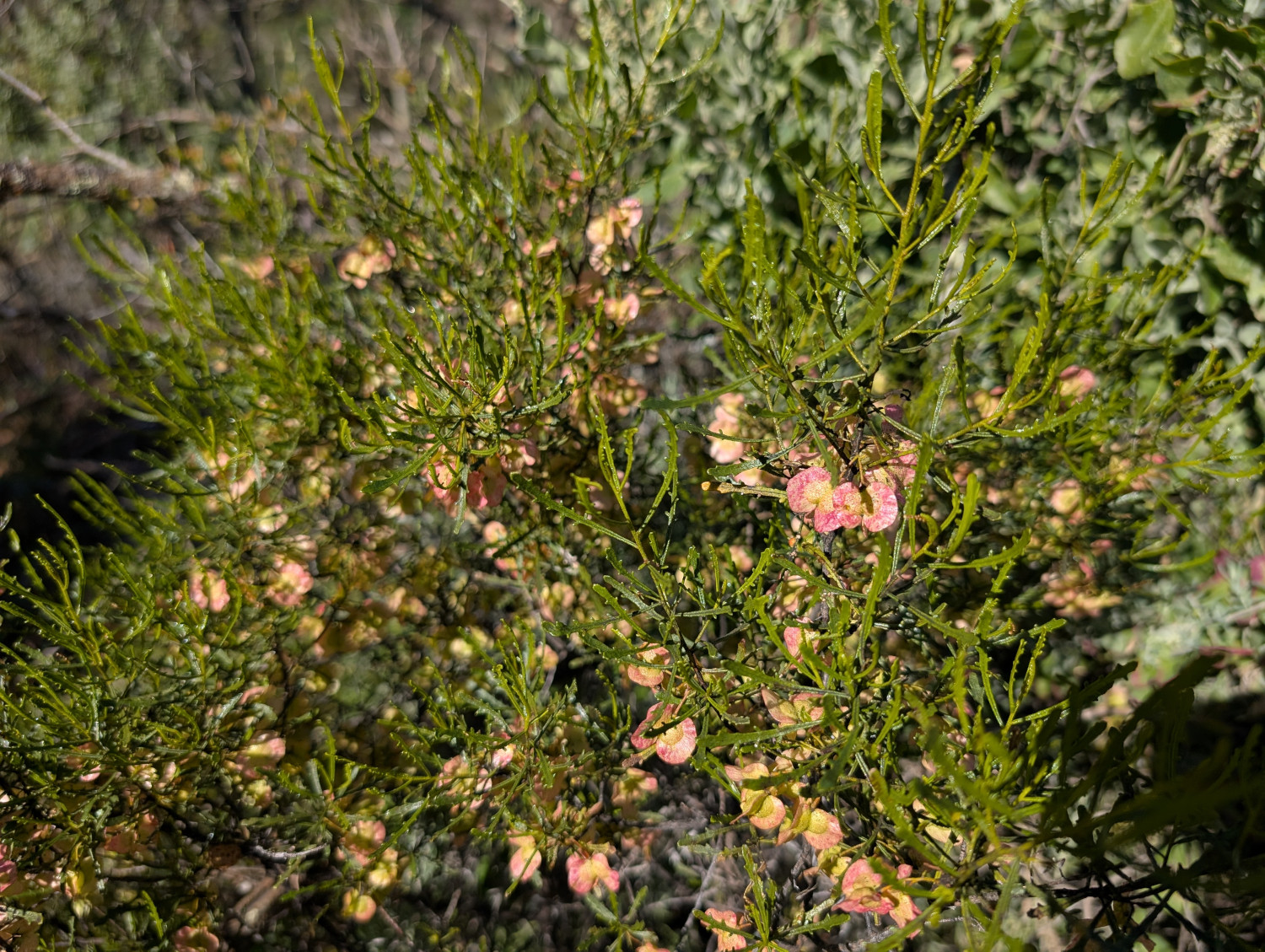
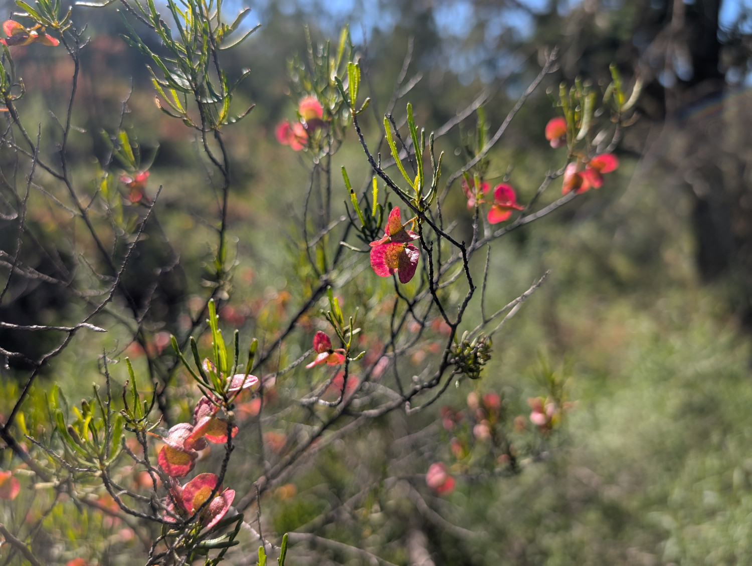
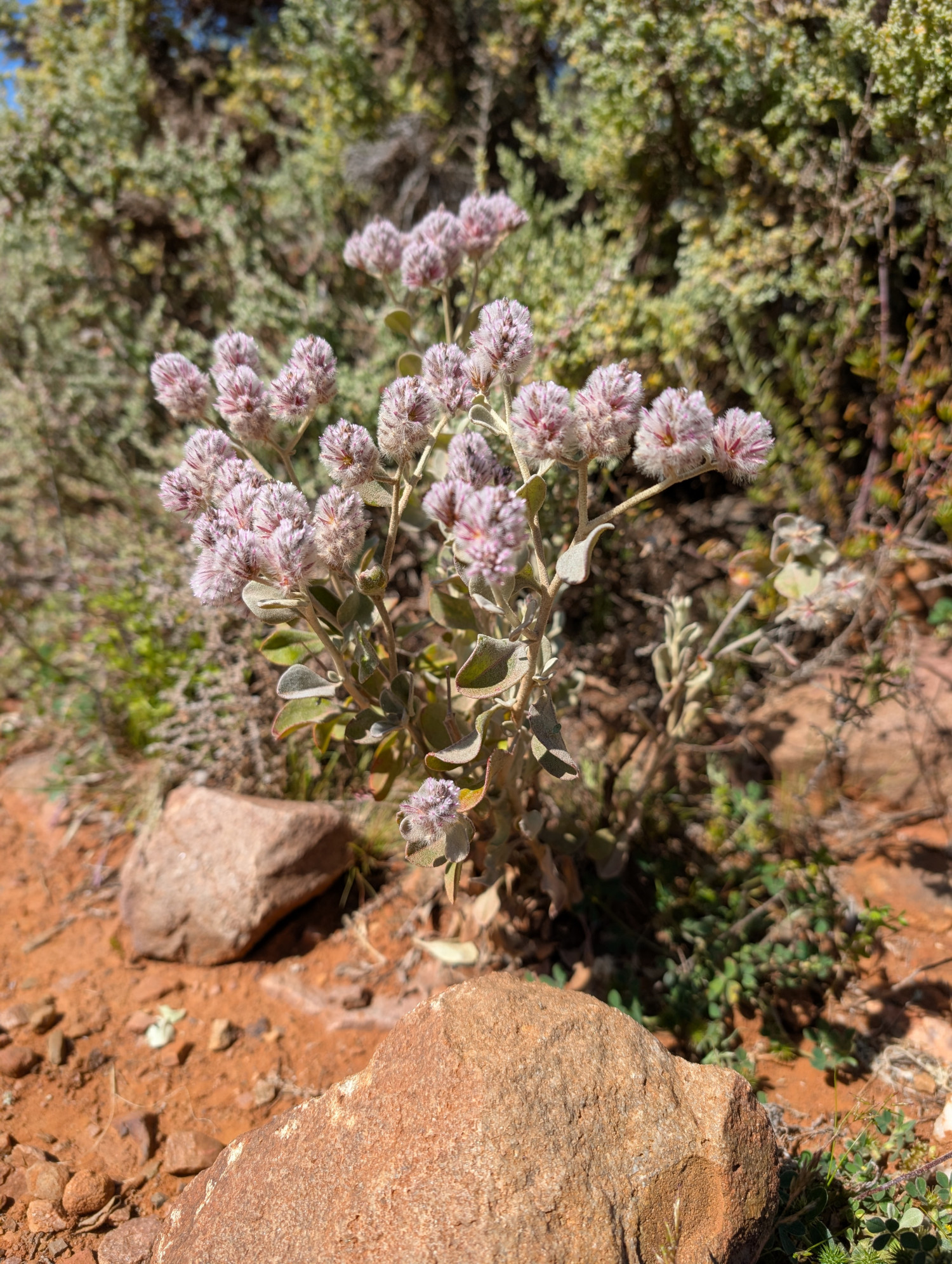
Me and the TC went back to the Flinders Ranges for another dip into the magnificent landscape. We were last there just a couple of months ago, in July. At that time, there’d been significant rainfall in the region. The hills were cloaked in various shades of green. Since then, there’s been even more rainfall and spring has arrived. As well as the greens, there were the yellows, purples, reds, whites of flowers, both native and introduced.
The book I’m in
Shantaram by Gregory David Roberts. A fascinating tale based on the author’s own life.
Travel tips
If you can schedule a trip to the area in spring time after rain, it’s well worth it. The green vegetation and flowers make for gorgeous scenery. Though I do admit that I’d like to see it when it’s dry too.
Recommended restaurant
Flinders Food Co in Hawker. Great food and friendly service. In our two trips to the Flinders Ranges, we visited this restaurant five times.
The photos
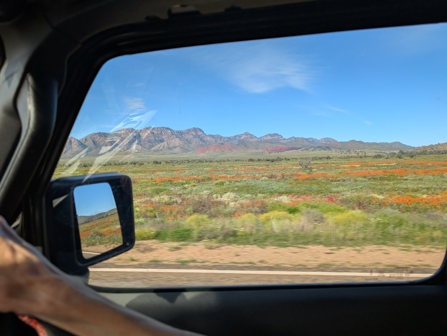
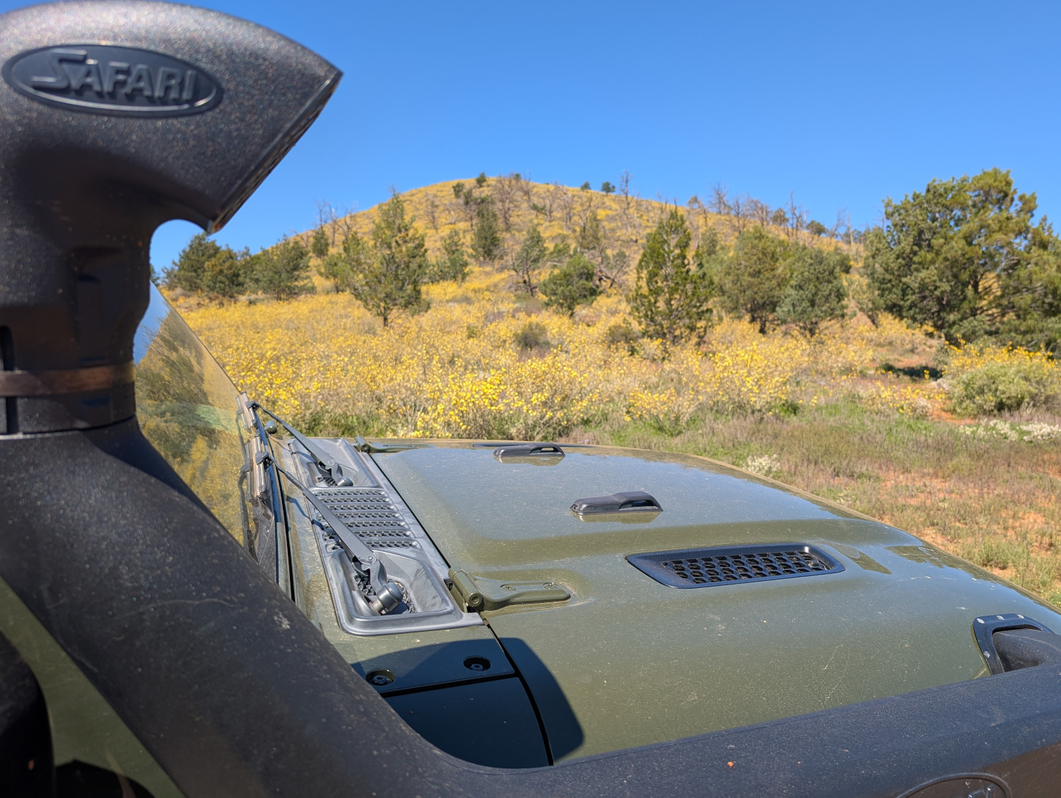
Approaching the Flinders Ranges, we had our first glimpses of the flowers through the Jeep window:
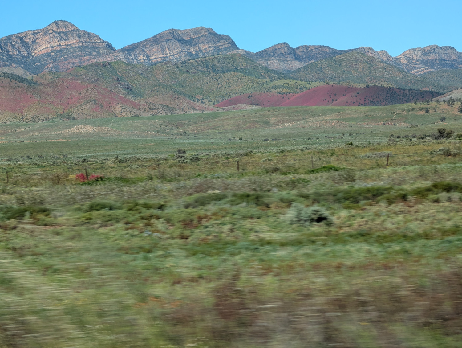
The deep pink flowers on the hills are Wild Hops. The theory is that they were introduced by the camel trains that used to transport goods between the cattle stations, towns, and railway stations. The Afghans who operated the camel trains used to pad their saddle bags with the hops. Since then, the plant has spread far and wide.
In this post: Gorgeous scenery and challenging technical driving in the Flinders Ranges, South Australia.
This is the blog of Mark Wordsworm, the travelling worm. I’m a 40-year-old bookmark (give or take a few years) and I proudly boast my own Hallmark serial number, 95 HBM 80-1. You’ll probably want to read all about me and my Travelling Companion (the TC).
Today’s travel notes
Me and the TC recently spent a few days in the Flinders Ranges in South Australia. It’s a fair way from home: three solid days’ drive each way from Sydney. The long trek is well worth it. This must be one of the most beautiful places on earth. We were also lucky in that the region has had an unusually large volume of rain over the past several months. The hills and valleys were covered in vegetation, all shades of green and white and grey and red.
The book I’m in
The Ten Year Affair by Erin Somers. Since my previous blog post, the characters have been digging themselves deeper and deeper into the complexities of a long-lasting affair. A light snack for this bookworm is looking more like a full-course meal. I’m keen to see how this situation turns out for all involved.
Travel tips
If you go off the main roads, even onto the easy dirt roads, travel with at least one other vehicle. If something goes wrong, it’s very useful to have another, working vehicle to get you out of trouble. The landscape is huge and the conditions can be unforgiving.
Recommended restaurant
Flinders Food Co in Hawker. We went there for lunch, once and then again two days later. The TC, bless her cotton socks, was impressed when a staff member said, “Welcome back!”
The photos
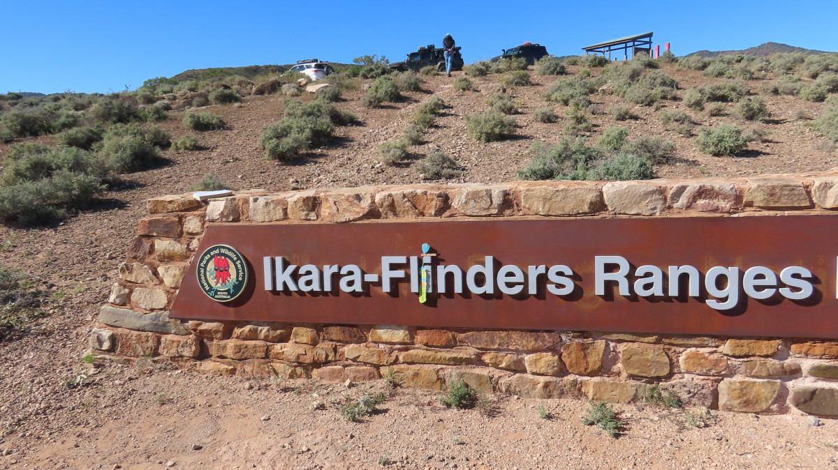
Me at the entry to the Ikara-Flinders Ranges National Park:
Yes, I’m there. Look closely, dear reader. Yours truly is just a bit dwarfed by the grand sign. Everything in the Flinders is on a grand scale. Look for me between the L and the I. Peg is there too, hanging on to my tassle and balancing on top of the I.
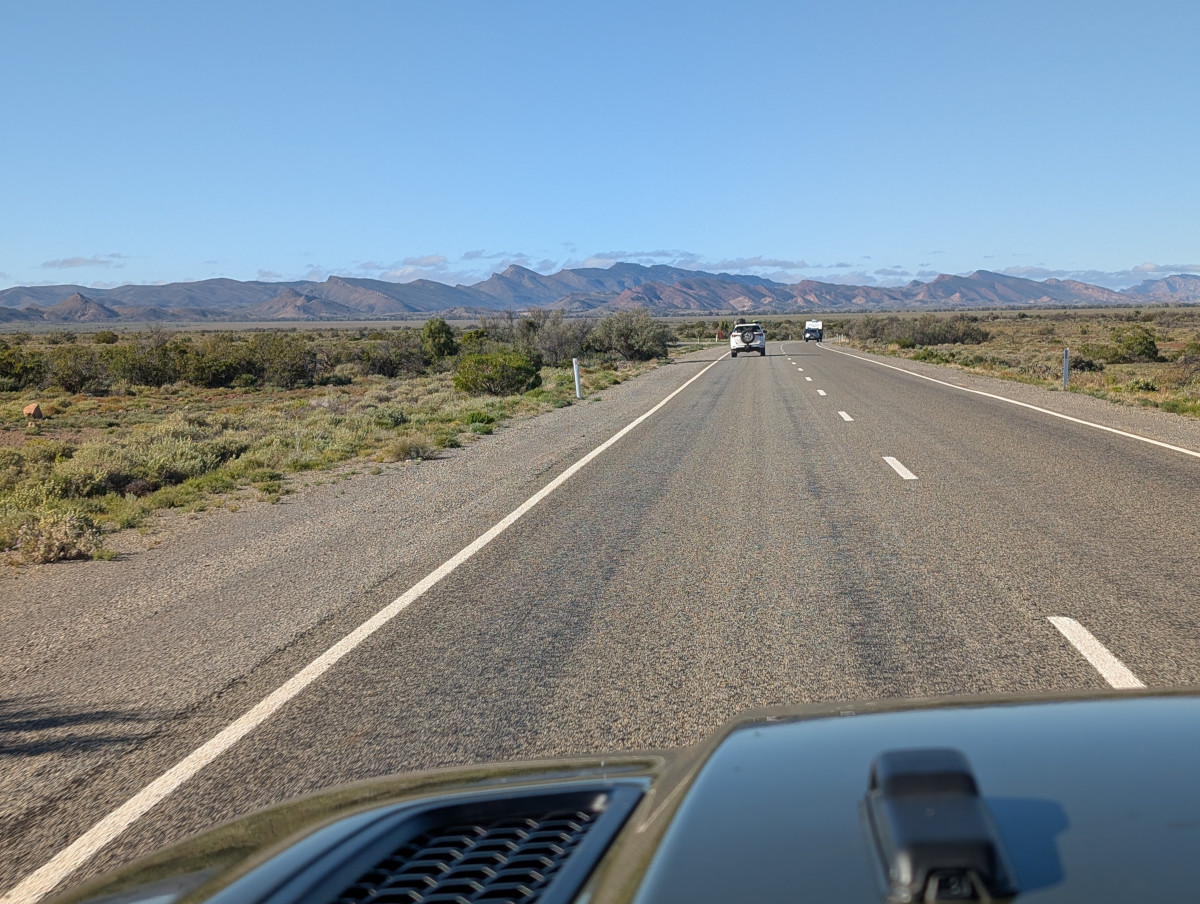
The Flinders Ranges form the biggest mountain range in South Australia. They started forming about 800 million years ago and are one of the oldest mountain ranges in the world. They’re known as a “folded” range, which nicely describes the appearance of the mountains as you approach from the north west on The Outback Highway:
Brachina Gorge and Bunyeroo Road
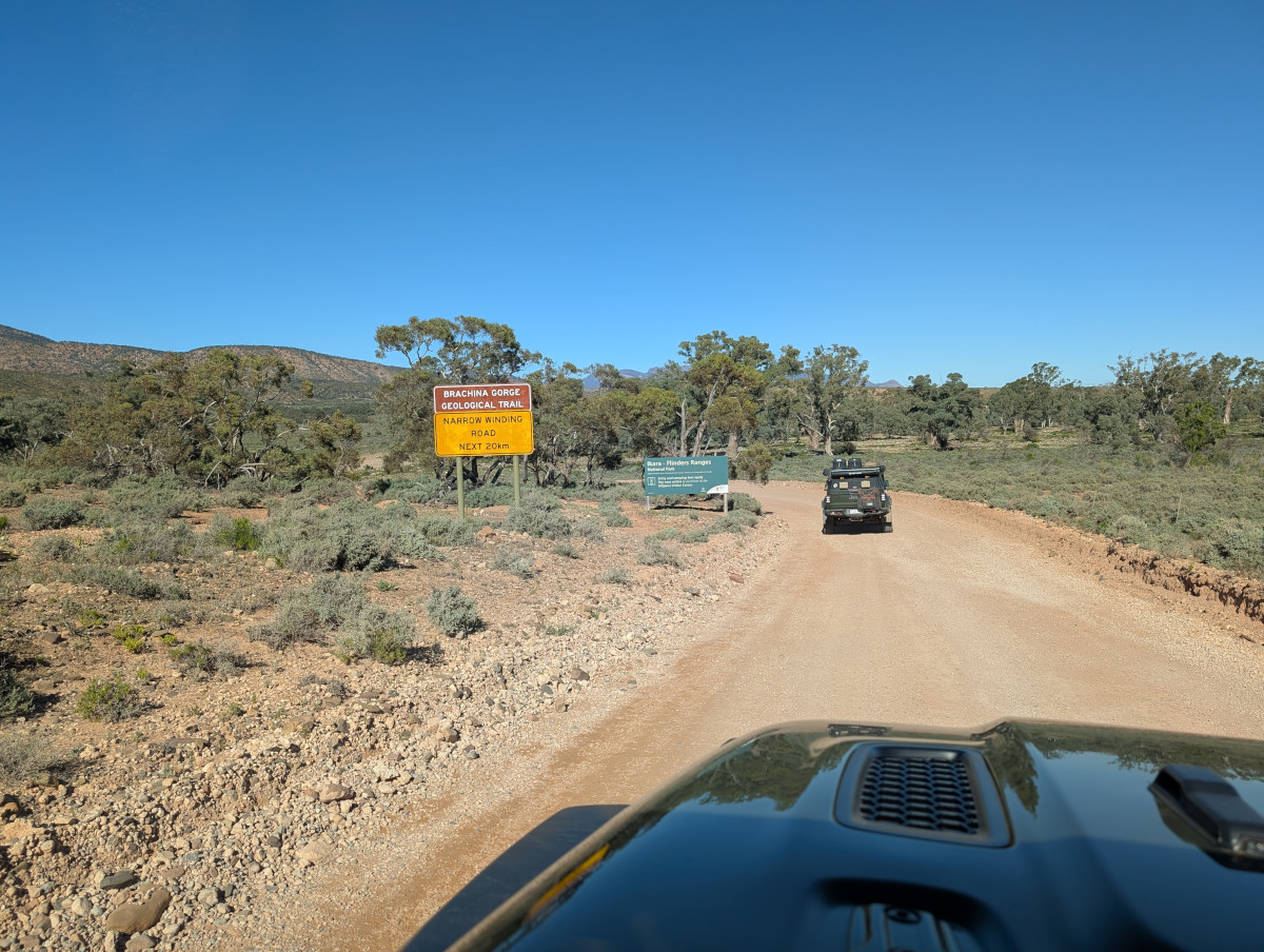
Our first scenic drive in the Flinders Ranges was Brachina Gorge:
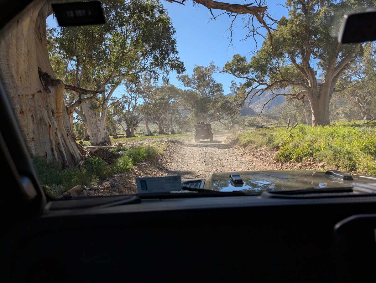
For the most part, Brachina Gorge Road is an easy dirt road, winding through steep valleys and picturesque country. There is, though, the occasional creek crossing, some of which could be tricky in wet weather.
Part way along Brachina Gorge Road, we took the Bunyeroo Road turnoff. Pretty purple flowers decorated the roadside. Pretty to the eye, but they’re known as Paterson’s Curse. They’re poisonous to grazing animals if eaten in bulk. Even so, some farmers allow their animals to eat these plants in moderation, as they’re sometimes the only fodder in a drought (despite being poisonous). So Paterson’s Curse is also called Salvation Jane.
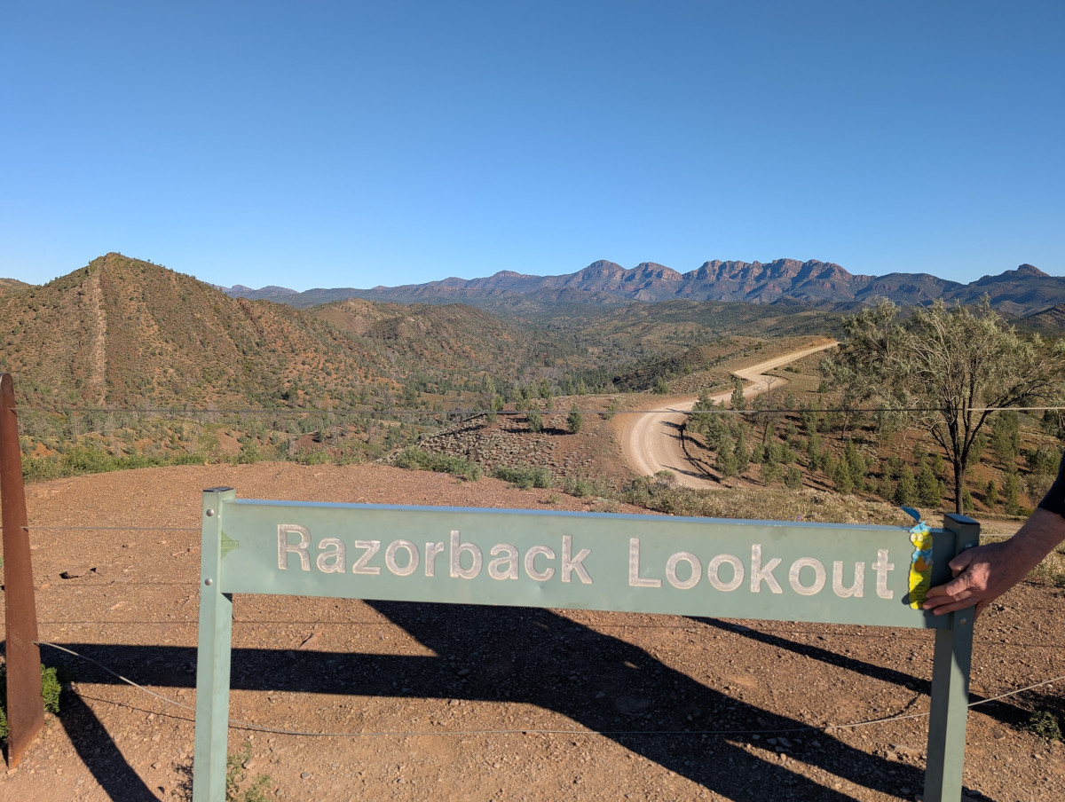
One of the most spectacular viewing points in the Flinders Ranges is Razorback Lookout on Bunyeroo Road. Here’s yours truly at the lookout. In the foreground on the left is an interesting sharply-pointed hill with vertical stripes:
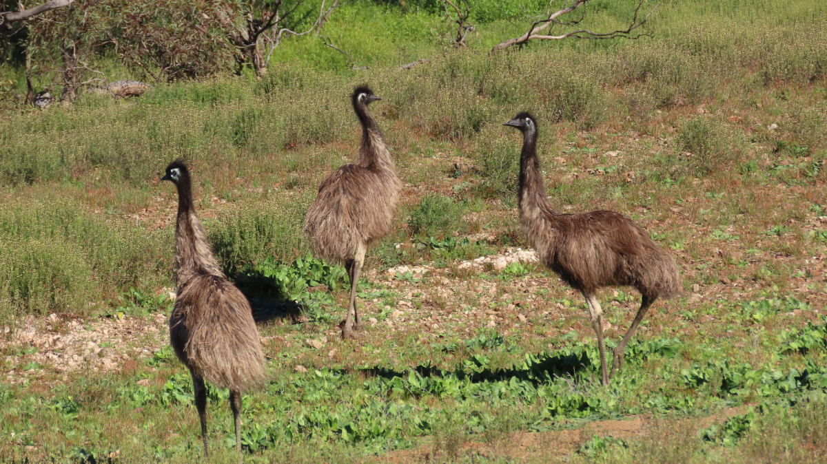
Are those dinosaurs? The ancient landscape would seem to support the idea:
No, they’re emus, Australia’s large flightless bird. They’re the tallest living bird in the world, after the ostrich.
Wilpena Pound
We camped overnight at Wilpena Pound resort. Wilpena Pound is a large, bowl-shaped valley in the Flinders Ranges, formed by huge slabs of rock colliding, folding, and pushing upwards in an oval ring.
A 360 degree view of Wilpena Pound as sundown approaches:
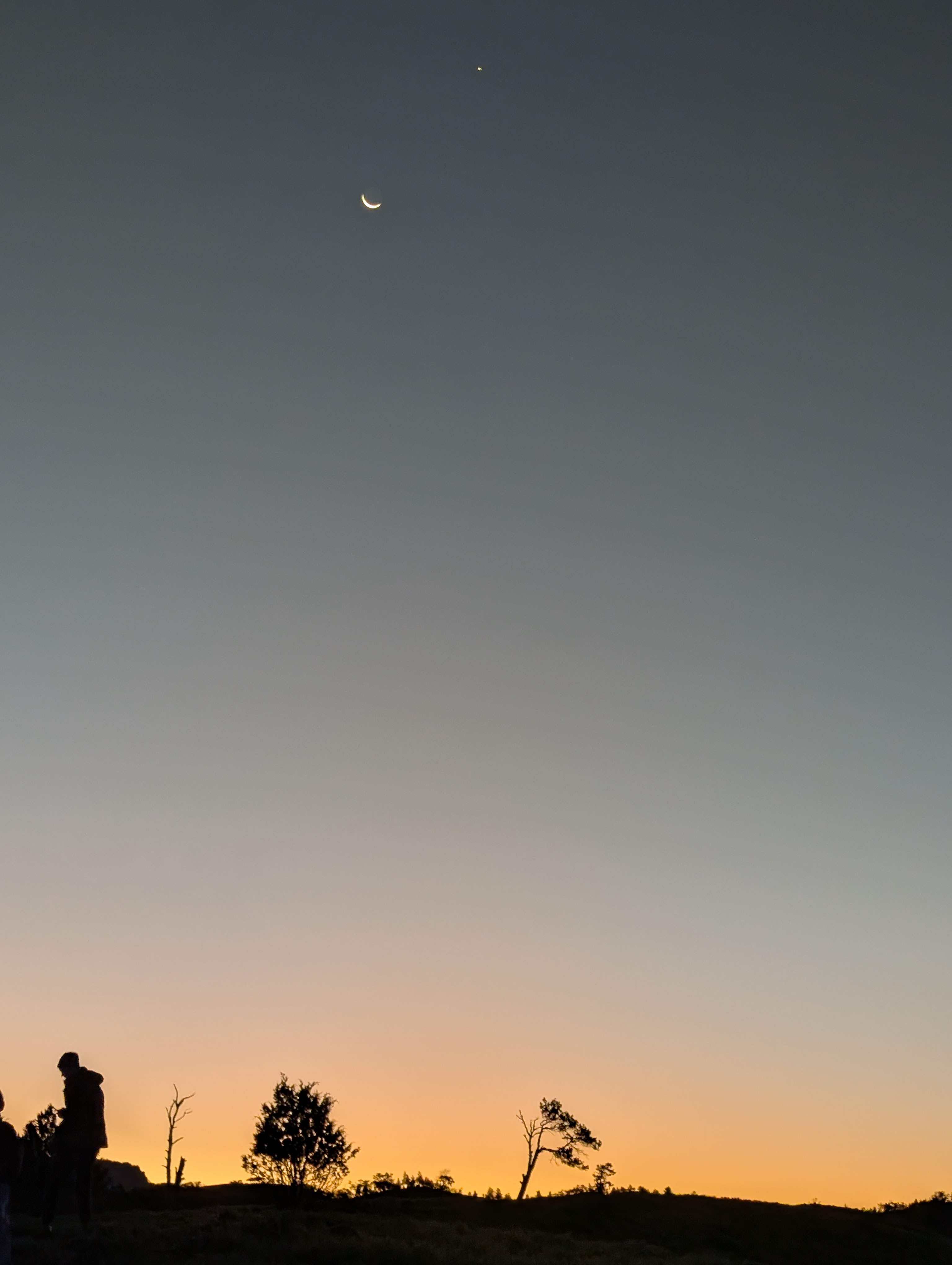
The Moon and Venus came out as the sun went down:
Bendleby Ranges
Bendleby Ranges is a property in the Flinders Ranges where you can camp, explore 4WD tracks, and enjoy the natural beauty.
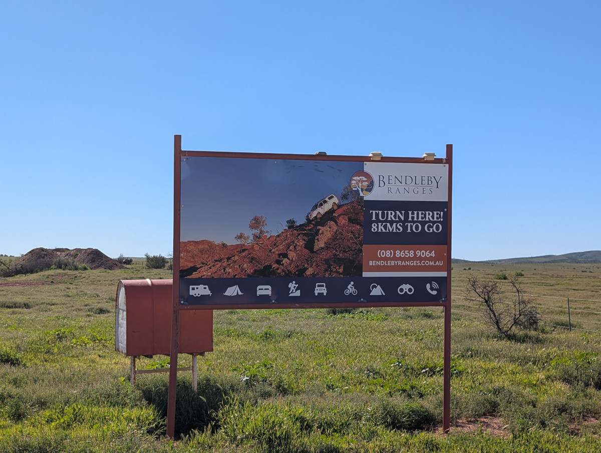
Finding the property can be a challenge, especially if you decide to take the back routes. We didn’t so much decide as end up taking the back routes. Luckily this sign assured us that we were nearly there:
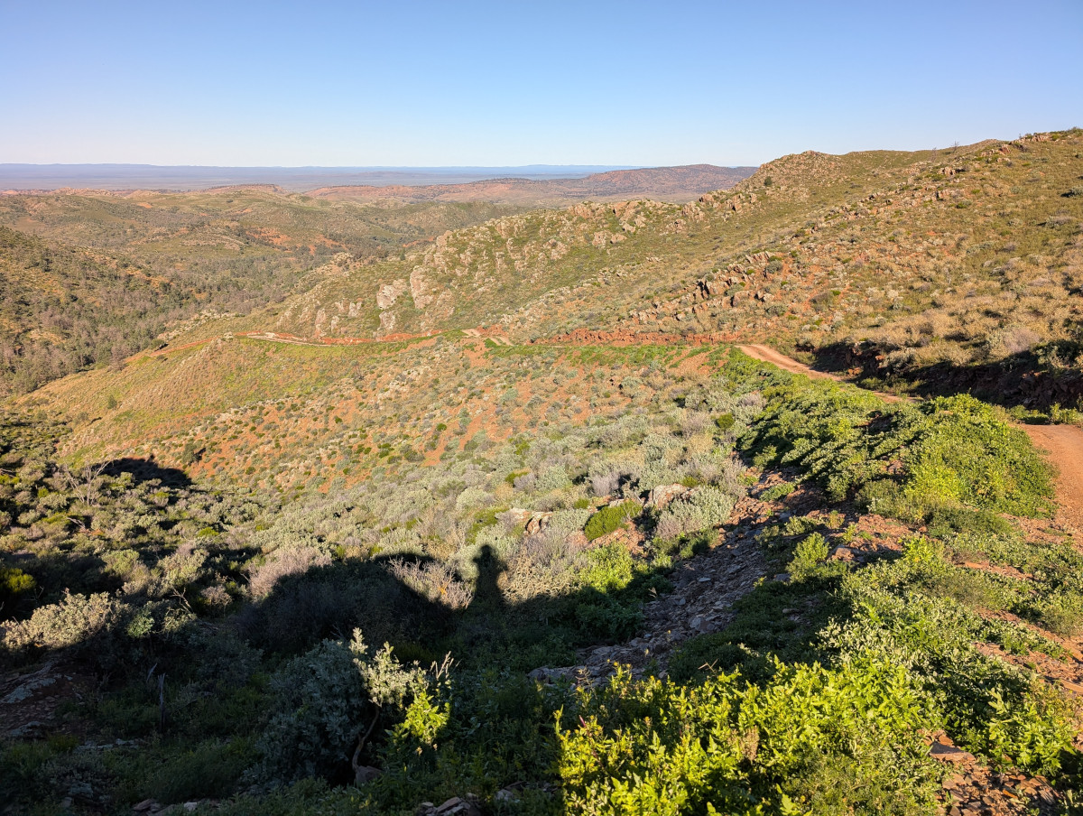
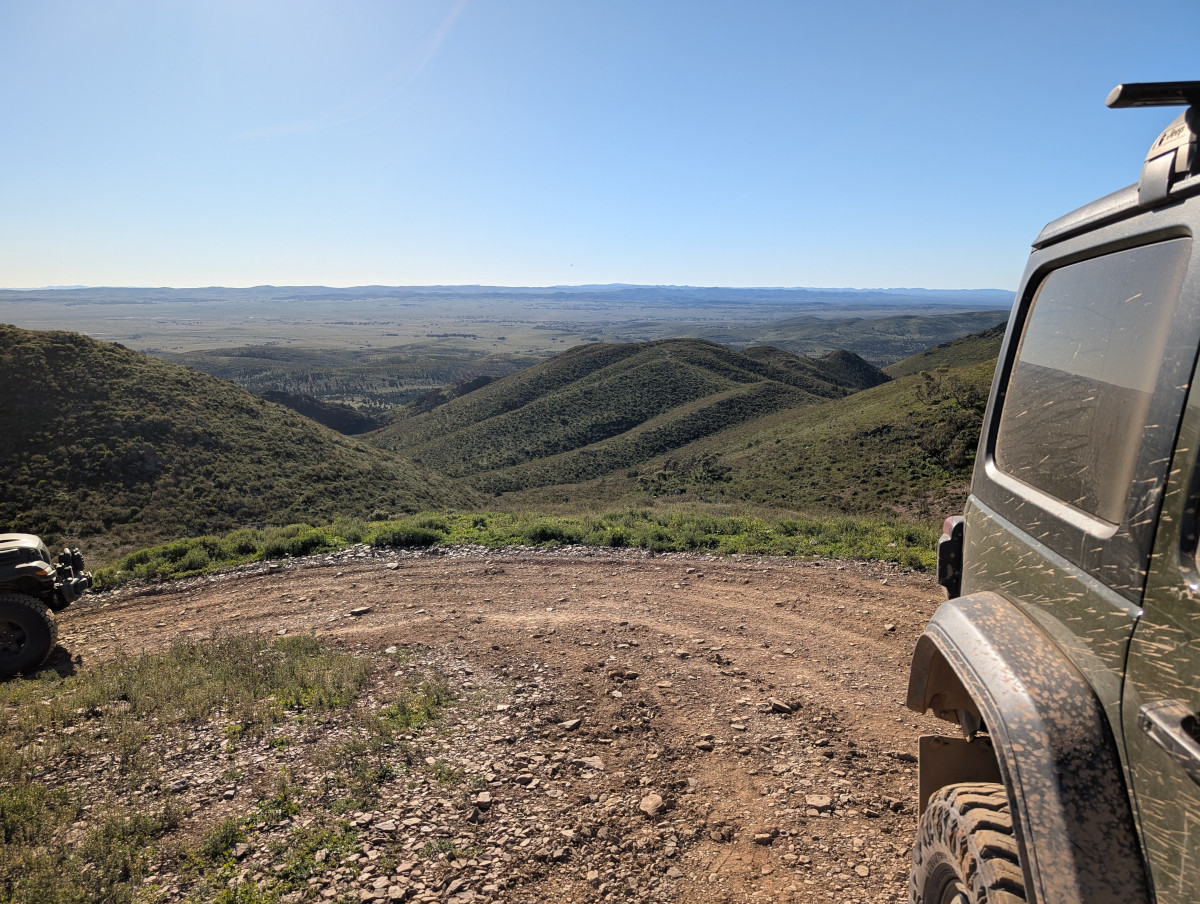
The property owners have set out 210 kilometres of 4WD tracks that you can drive yourself. The tracks are rated for difficulty, from easy to hard. They’re all very beautiful, winding through hills with a huge landscape as the backdrop:
Marchant Hill Lookout at Bendleby Ranges:
This video shows part of a gorgeous and technical drive in the “Hungry Ranges”, the name given to an area containing the more difficult tracks at Bendleby Ranges. The track in the video is rated 10 out of 10 for difficulty. It should also be rated 10 out of 10 for beauty.
Some of the tracks do require serious four-wheel driving know-how and a well set up vehicle with diff locks, high clearance, and a winch. There are some dangerously rubbly and steep ascents and descents.
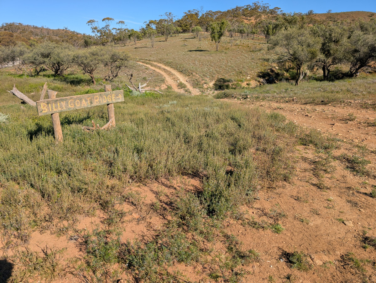
A well-known track is Billy Goat Ridge, not to be confused with Billy Goat Bluff in the Victorian High Country (see my earlier post about the Billy Goat Bluff Track). A signpost announces the start of Billy Goat Ridge:
The track wanders off into the distance. It looks deceptively tame, but it offers a good challenge to a keen four-wheel driver:
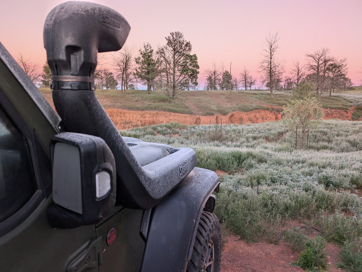
Dawn at Bendleby Ranges can be frosty, especially in the month of July (mid winter) when we were there:
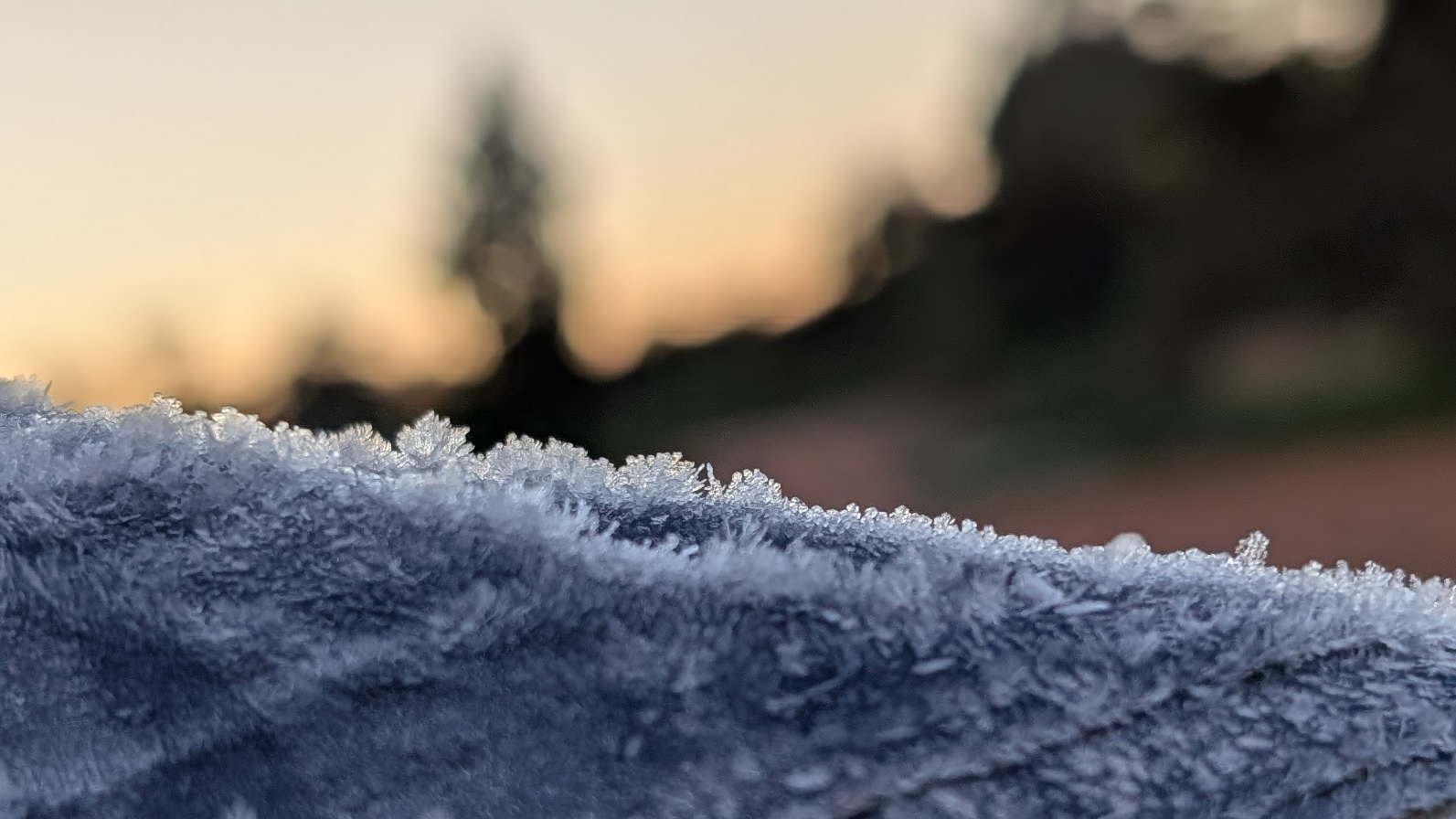
At 7am, the weather app said the temperature was -2 degrees, feels like -4.7. The tent was covered in ice:
There was even ice on the inside of the tent. The ice thawed when the sun hit the tent, and dropped in sheets with a pretty tinkling noise, all over the TC’s bedding and clothing. Everything got wet.
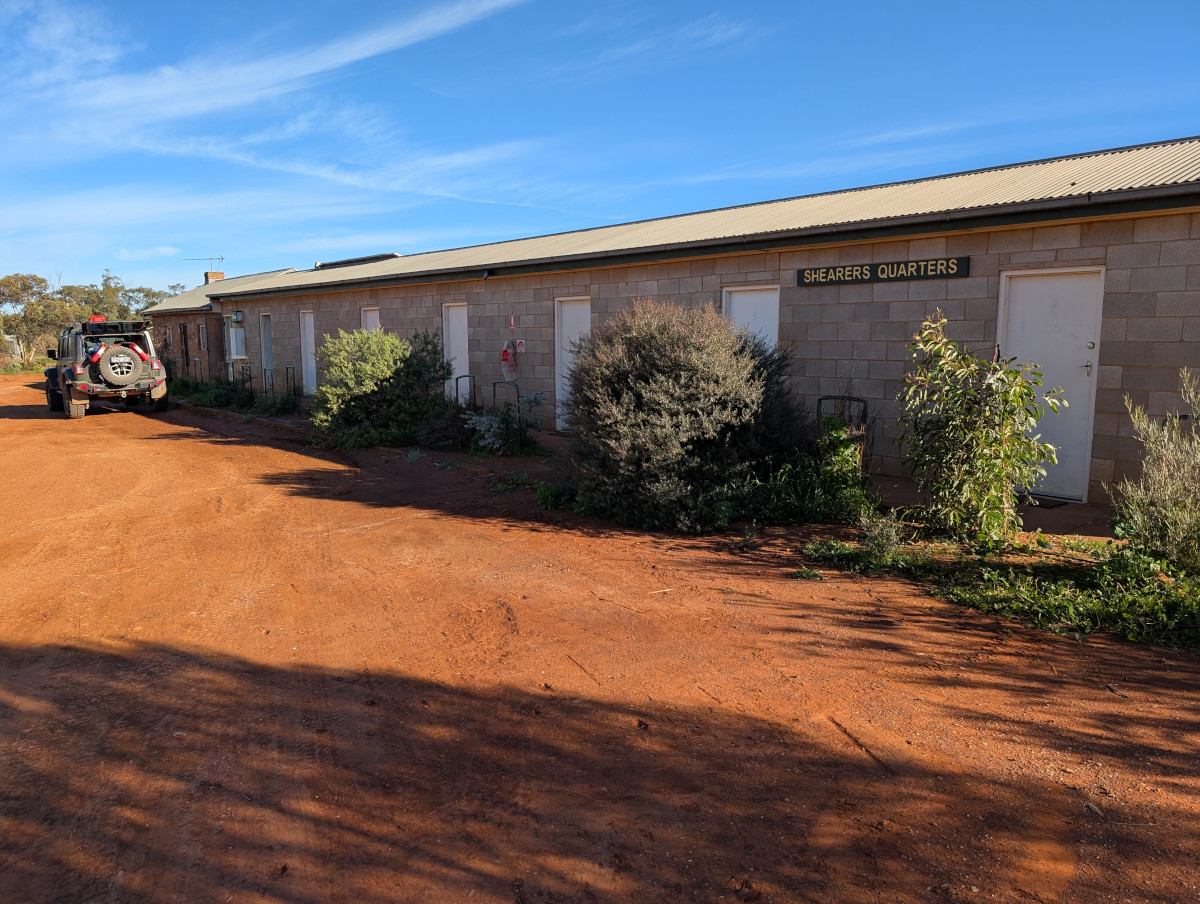
The TC, bless her woolly mittens, prides herself on being a hardy soul. But even she decided that one night in an iced-over tent was enough to prove the point. We moved into a room the Shearer’s Quarters for the next night:
The team at Bendleby Ranges opened up the Shearers Quarters just for us! The accommodation was comfortable though basic, and aah the warmth provided by the aircon was bliss.
In this post: The city of Broken Hill, how it got its name, and the living desert that surrounds it. Plus some desserts.
This is the blog of Mark Wordsworm, the travelling worm. I’m a 40-year-old bookmark (give or take a few years) and I proudly boast my own Hallmark serial number, 95 HBM 80-1. You’ll probably want to read all about me and my Travelling Companion (the TC).
Today’s travel notes
Me and the TC recently made a big trek westwards from Sydney, to explore parts of NSW and South Australia. Broken Hill was one of the places on our bucket list.
The book I’m in
The Ten Year Affair by Erin Somers. I’m nestled in near the start of this book, getting to know the characters and the situations they manage to get themselves into. So far, it’s a warm and amusing experience.
Travel tips
Take an early morning stroll in the living desert, but make sure you don’t get lost. It’s big country: Large landscapes, rolling hills, and a lot of sameness.
Recommended restaurants and bakeries
The Silly Goat is excellent for brunch. Their sweets looked scrummy, though we didn’t endulge this time.
The Musicians Club provides a good nosh-up for dinner. Their citrus tart is a delicious dessert.
The Deli presented us with delicious, gluten free cakes, a little like muffins.
The photos
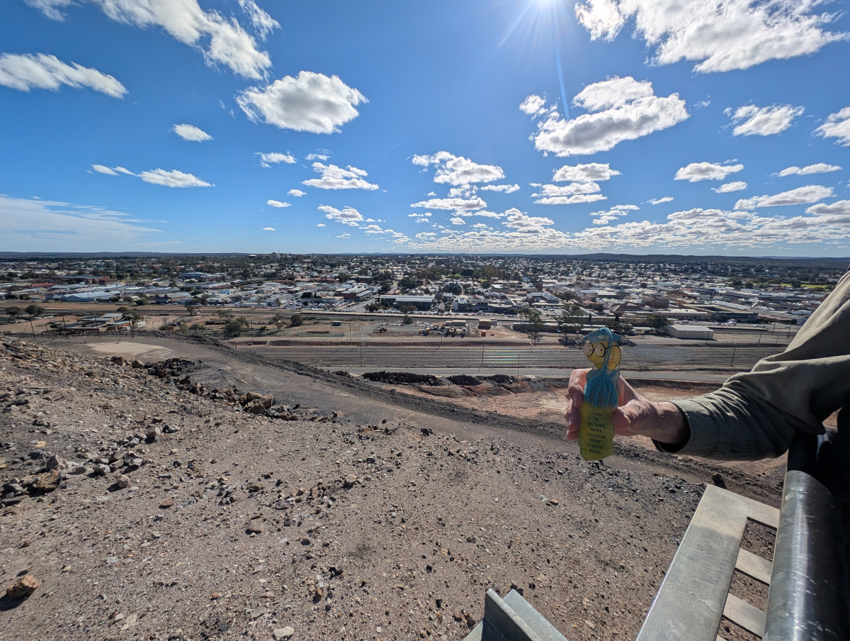
Me at the top of the Line of Lode (it’s a mine dump), with the city of Broken Hill spread out below:
Why the name “Broken Hill”? The city is named after a range of ragged rocky outcrops that looked as if it had a break in it. The broken hill itself has since disappeared. It turned out to contain the world’s largest ore seam of silver lead, and zinc. After the resulting mining spree, the hill is now a large flat mine dump, part of which is still being mined.
The mine dump is called the Line of Lode. Let’s put on our wings (this worm is still patiently awaiting the day that I morph into a beautiful winged creature) and zoom some distance away from Broken Hill. This shot shows the Line of Lode and the city:
Due to the wealth of silver, zinc, and lead in its rock, Broken Hill became a bit of a trend setter in mining matters. Mining revenue supported the new nation of Australia in no small way. The mining and minerals technology developed in the city were adopted worldwide, as were many of the financing practices. Some of today’s large mining companies owe their beginnings to the miners at Broken Hill. Take BHP Billiton for example: BHP comes from the company’s former name, “Broken Hill Proprietary Company Limited”.
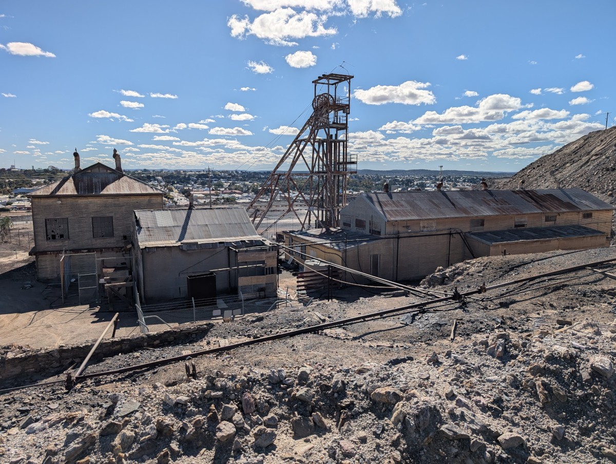
The Line of Lode is part museum, part working mine. Derelict structures greet you as you make your way to the top:
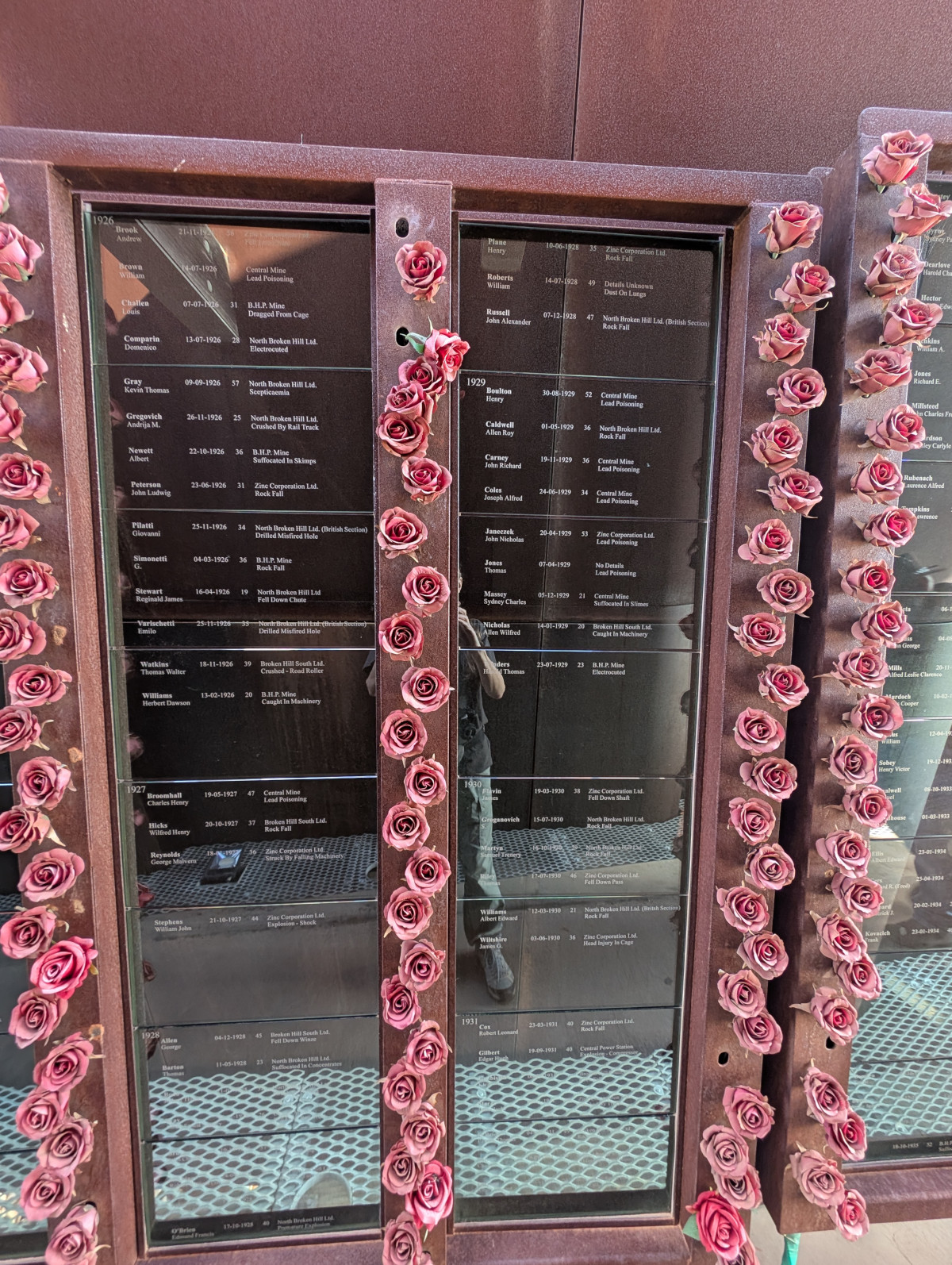
Erected on top of the Line of Lode is a memorial to the miners who contributed so much to the city and the country. More than 800 people have died during mining activities here. The memorial shows names of deceased miners in columns lined with dusky pink roses, along with each person’s date and manner of death. This photo shows but a few of the names. The list stretches for several more panels:
The city of Broken Hill
The Line of Lode looms large from the city too. On Sulphide street, the 30-metre high mullock (an Australian term for a hill of mining waste) lurks behind the Palace Hotel:
The streets in the city are named after the ores mined and the chemicals used in the mining process. Here’s Argent Street:
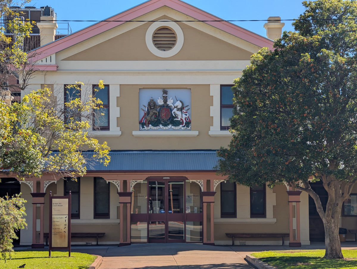
The Broken Hill Courthouse is also on Argent Street:
Several areas in the city are designated alcohol free zones, in a bid to improve public safety. In these areas, it’s illegal to consume alcohol 24 hours a day, 7 days a week:
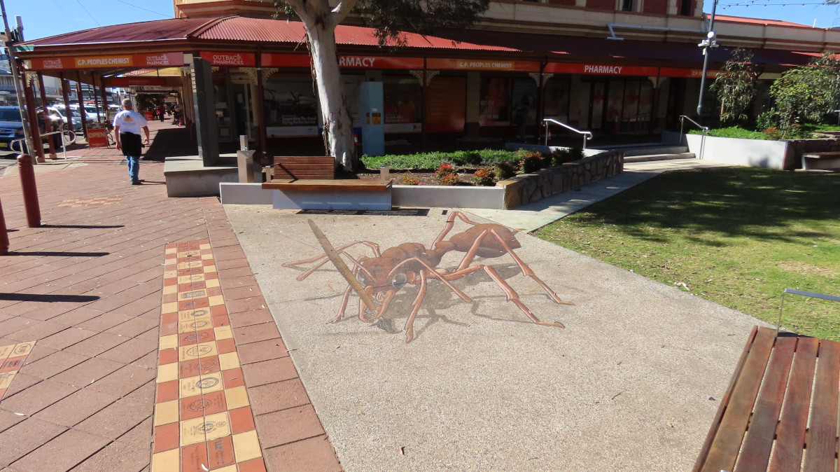
A big ant prowls Crystal Lane. This impressive creature is part of the pavement art created for the “Beyond The Dust” festival in 2025:
Above the streets, Corellas lurk. Like this one, which looks like a somewhat jaded reveller with its soiled feathers and splodged eye shadow:
Living Desert State Park
Twenty minutes’ drive from Broken Hill, along Nine Mile Road, is the Living Desert State Park. We were lucky to see the desert even more alive than usual, due to the unusual amount of rain the region has had over the past several months. The desert was covered in green shrubbery, even outside the park.
The park itself is well worth a visit. The entry fee is $10 per person, payable at an automated pay point beyond the gate. The payment system is eccentric. It’s unmanned, just a machine, and accepts card only. When we arrived, there were a few confused people wandering around looking for help. Eventually, by group effort, we all made it through the system and into the park.
Video: It’s mid morning in the Living Desert State Park. Several kangaroos bound across a bowl-shaped valley below us:
The next video shows more kangaroo action, later in the day. It’s approaching sunset. Two kangaroos tap each other playfully with their paws. Being but a small worm in a large world, I’m not sure what type of kangaroo or wallaby these are. They’re reddish in colour, with rather endearing tufty hairstyles:
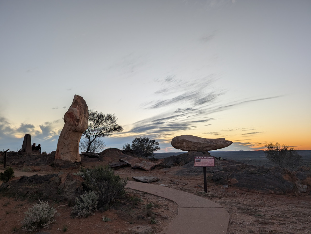
As the sun goes down, sculptures make interesting shapes at the top of a hill in the park:
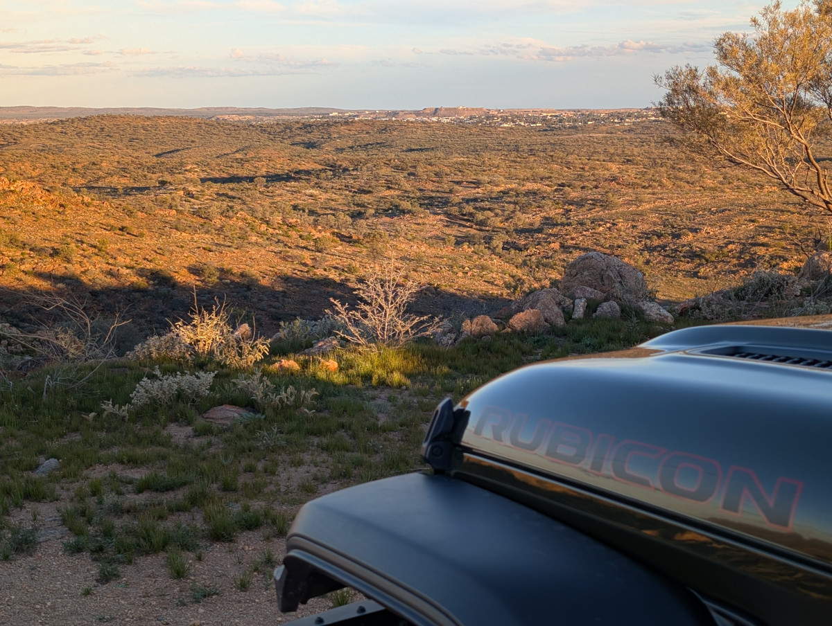
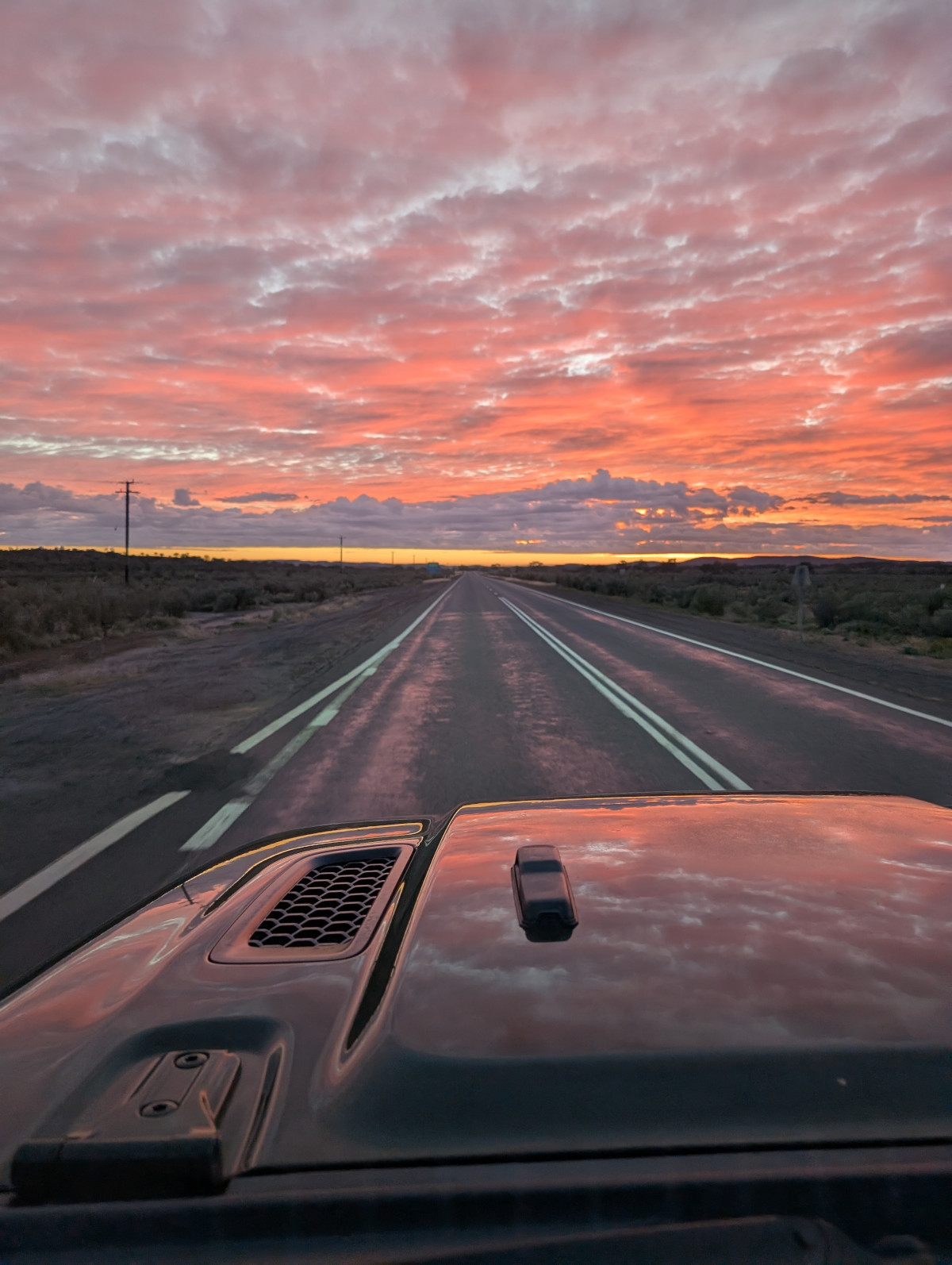
We left Broken Hill early next morning, driving into the sunrise:
In this post: Isn’t the whole interior of Australia made of red dust and clay? That’s what this worm has always been told. But not so.
This is the blog of Mark Wordsworm, the travelling worm. I’m a 40-year-old bookmark (give or take a few years) and I proudly boast my own Hallmark serial number, 95 HBM 80-1. You’ll probably want to read all about me and my Travelling Companion (the TC).
Today’s travel notes
Me and the TC have just returned from an epic trip into Australia’s outback. We drove west and north for three days, drove around a bit, then drove back for three days. We discovered a huge land covered in shades of green with the red earth glowing through.
On the first day of the trip, we drove from Sydney on the east coast to Wagga Wagga, slightly more than a third of the way across the state of New South Wales. Wagga Wagga is the largest inland city in New South Wales.
What does the name Wagga Wagga mean?
Firstly, why isn’t it just “Wagga”? Well, the local Wiradjuri language uses repetition to show the plural. So, “Wagga Wagga” indicates more than one “Wagga”. Several languages use repetition like this, including Malay / Indonesian.
The word itself, “wagga”, means “dance” in Wiradjuri. Wagga Wagga is therefore the place of dances. Until recently, the official interpretation was “place of many crows”, but the Wagga Wagga city council set that straight in 2019.
Informally, you can call the city just “Wagga”. Everyone knows what you mean.
The book I’m in
Shroud by Adrian Tchaikovsky. If you want to think about what form alien life might take, and what it might feel like to meet that life, then this is the book for you. It’s terrifying and fascinating. The best of SciFi.
Travel tips
Have two drivers if you can. Australia is a big country and the roads are long. Being able to swap drivers every couple of hours, and having someone to talk to, helps avoid driving off the road by mistake. This type of message from your GPS is not uncommon: 585 km to your next turn:
(Savvy readers will notice that the location of this map is Broken Hill, from another day of our trip. Heh, call it artistic licence to include the screenshot in this post.)
Recommended restaurant
Nabiha’s Kitchen, Baylis Street, Wagga Wagga. Visit this place for a charming and authentic Lebanese meal. The warm welcome and intimate atmosphere make it feel like you’re having a meal in someone’s home kitchen. Take the time to chat with Nabiha and her daughter, Vicky, to learn the story of the restaurant and the family that owns it.
The photos
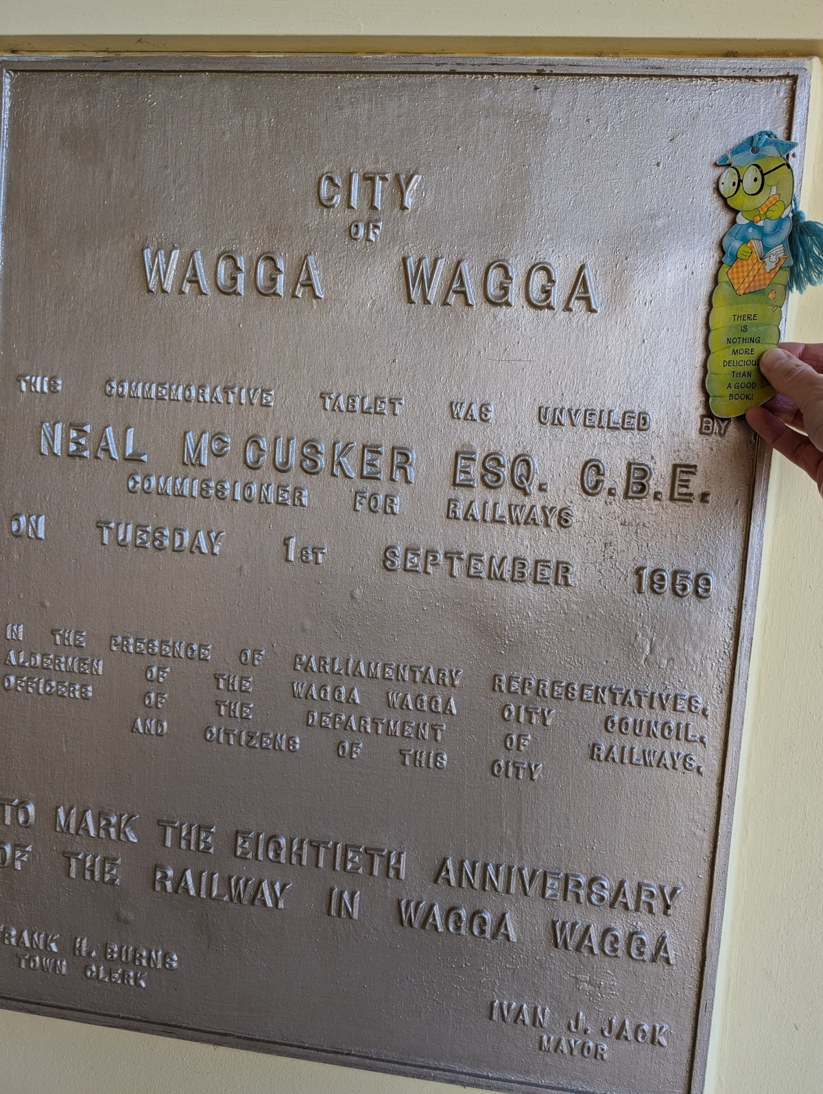
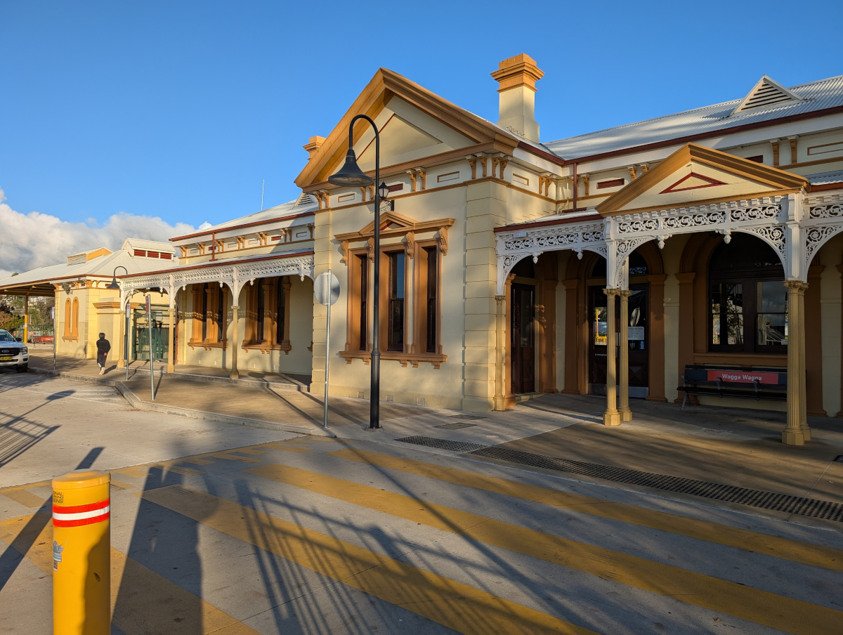
Me at Wagga train station. This tablet was unveiled a couple of months before the TC was born (bless her woolly booties):
We took the Old Hume Highway into Wagga. The TC was expecting Wagga to be in the middle of flat country and arid red dirt. But no, it was green!
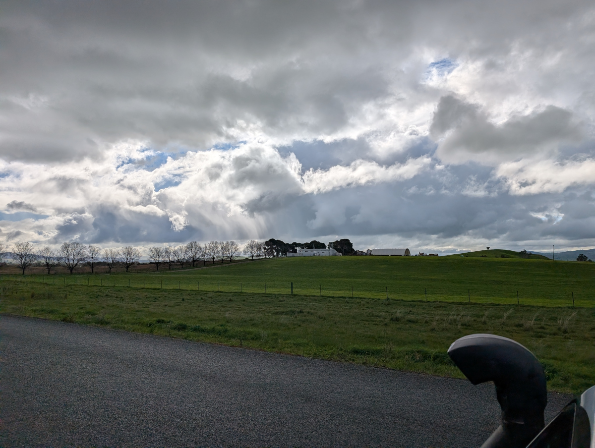
Sunlight through clouds and a line of skeleton trees on an undulating horizon ushered us into Wagga:
A pile driver obliged with an atmospheric rhythm as we crossed the Murrumbidgee River (there were roadworks nearby). On the other side of the river, rolling green hills spread out before us:
On the way into the city, we stopped at Marrambidya Wetland for a walk. These gum trees were enjoying a puddle:
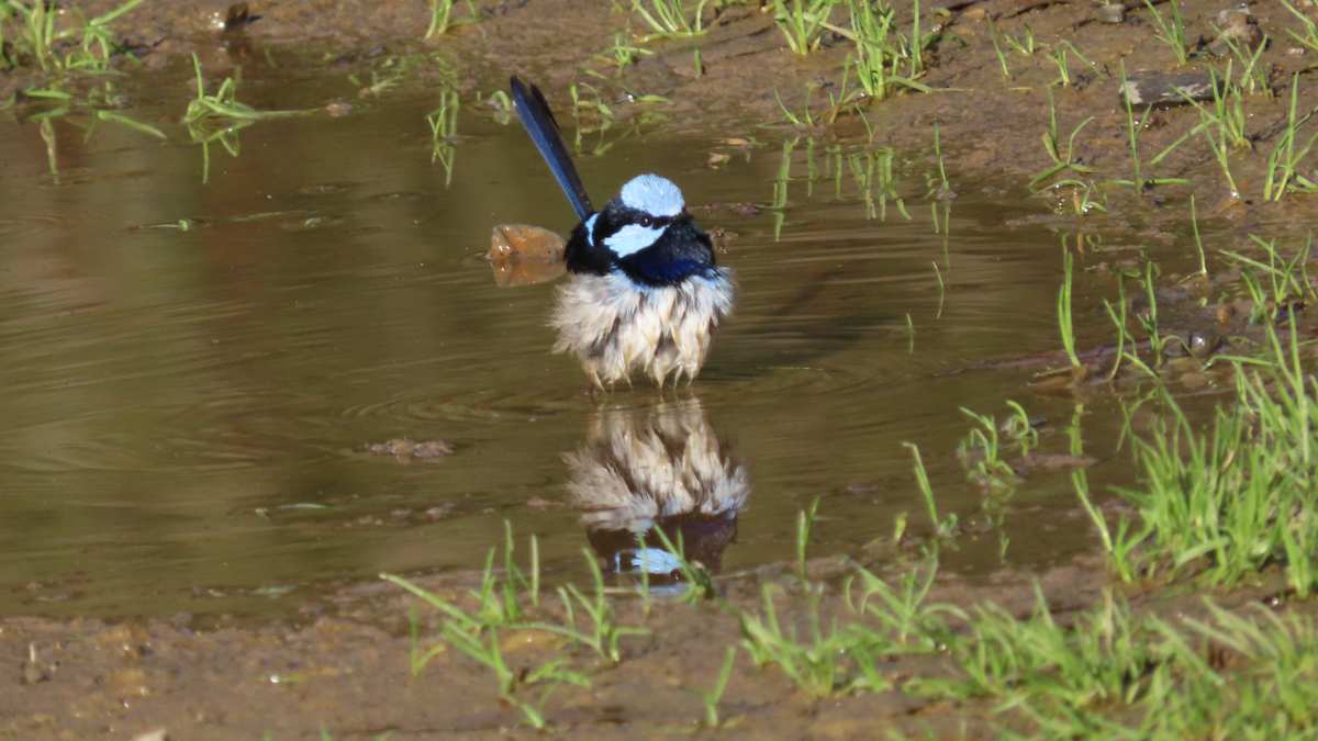
The TC is a bit of a twitcher. Hence the next picture, of a fairy wren similarly enjoying a puddle. Bird watching is not a great pastime for a travelling companion of mine, yours truly being a worm and all. But I stay safely hidden in my book at times like these.
Double trouble:
Wagga itself has restful, wide streets. There’s every type of shop, supermarket, and service that you might need. A big-name road runs through the town: Sturt Highway.
Wagga railway station:
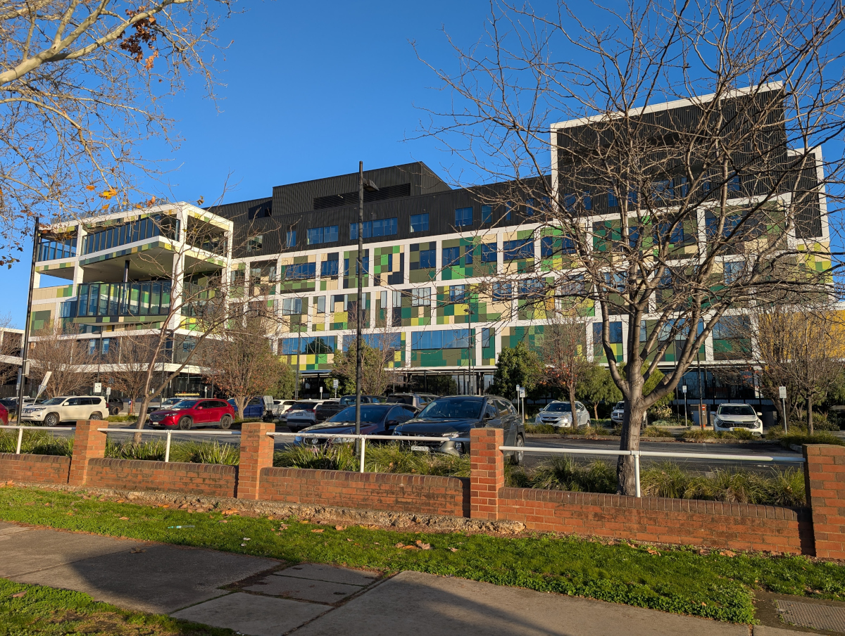
Wagga Wagga Base Hospital is the largest hospital in the region, servicing the city and surrounding areas. The hospital was first founded in 1856, and has undergone several reconstructions since then, the latest being completed in 2023:
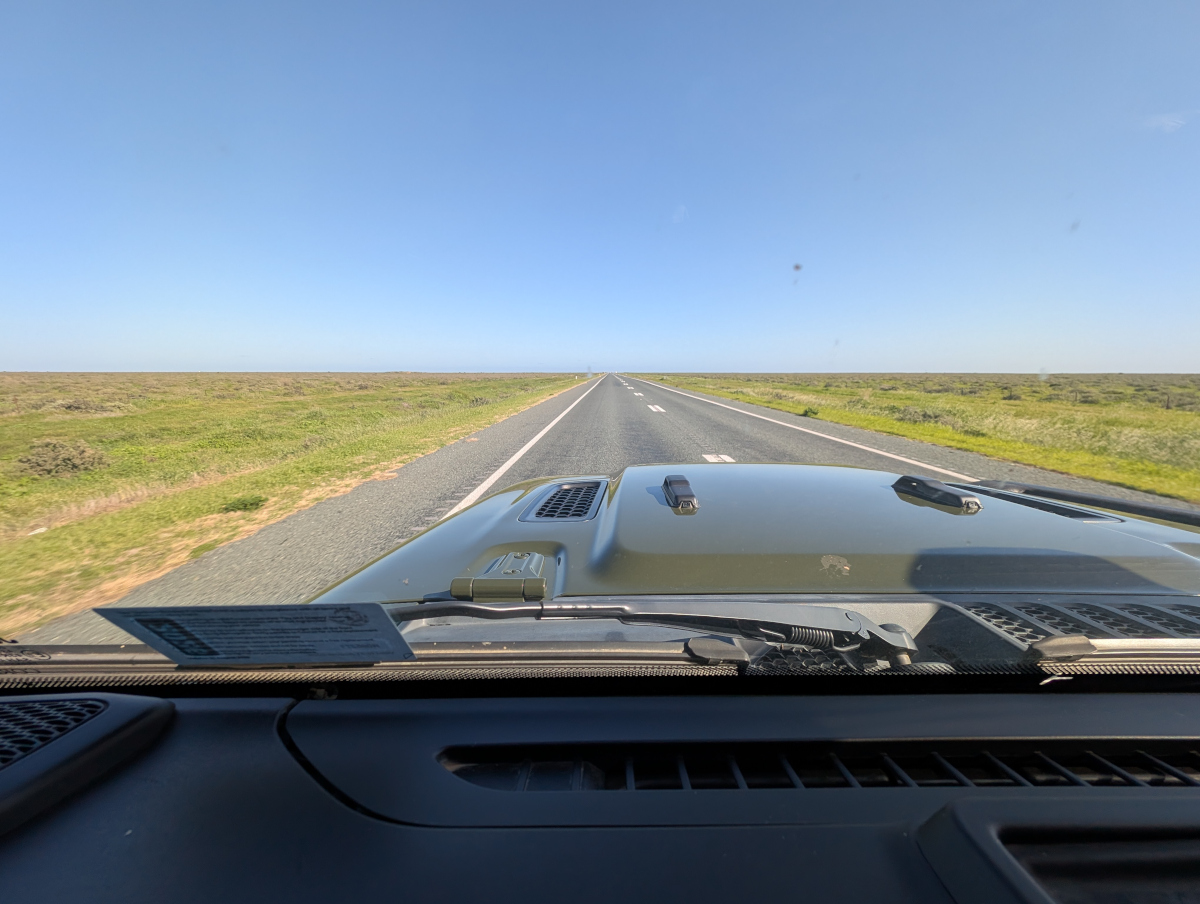
The next picture shows Sturt Highway, four hours west of Wagga: a flat, wide horizon with the road disappearing into the distance. This is more like what I expected of the view, except that it’s all green!
In this post: Of friend and foe in Hoedspruit, South Africa. Be aware: they’re not what you might think. Unless you’re a worm like yours truly.
This is the blog of Mark Wordsworm, the travelling worm. I’m a 40-year-old bookmark (give or take a few years) and I proudly boast my own Hallmark serial number, 95 HBM 80-1. You’ll probably want to read all about me and my Travelling Companion (the TC).
Today’s travel notes
Me and the TC (bless her fearless heart) have just spent a few days in Hoedspruit, South Africa. A land where the wild things roam outside your door. Where sleep comes only to those who love wildlife. Where beauty is all round, and so is the bare, sometimes ugly, necessity of nature.
The book I’m in
Fool Moon by Jim Butcher. A funny, heart warming, creepy tale of a lone urban wizard pitted against a bewildering variety of werewolves, hexenwolves, lycanthropes, and loups garous. This book is the second in the series dubbed the Dresden files. Well worth a read.
Travel tips
Don’t go out at night. Predators roam the streets. Yes, really. Expect a leopard. Watch for wild dogs. No werewolves, but Ooo those owls!
The photos
Me taking a walk on the wild side:
Our accommodation lay in the Hoedspruit Wildlife Estate, where human abodes nestle among the thorn trees and wild flowers. At dusk, doors close firmly, children and dogs are hurried inside, and the wild creatures own the turf.
Who’s the friend, who the foe?
Your experience may differ! Here follows a worm’s eye view of friend and foe.
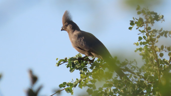
First the foe. Birds are not my favourite things. Too much beak and claw, not good for soft small bodies like yours truly’s. Take for example this creature, fierce of eye, sharp of beak and claw:
It’s called a Grey Go-away-bird, because of the noise it makes. The name applies equally to my sentiment when I saw this specimen. Go away, bird!
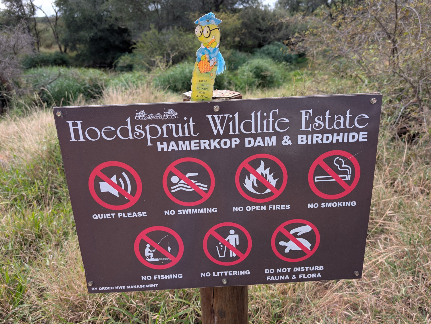
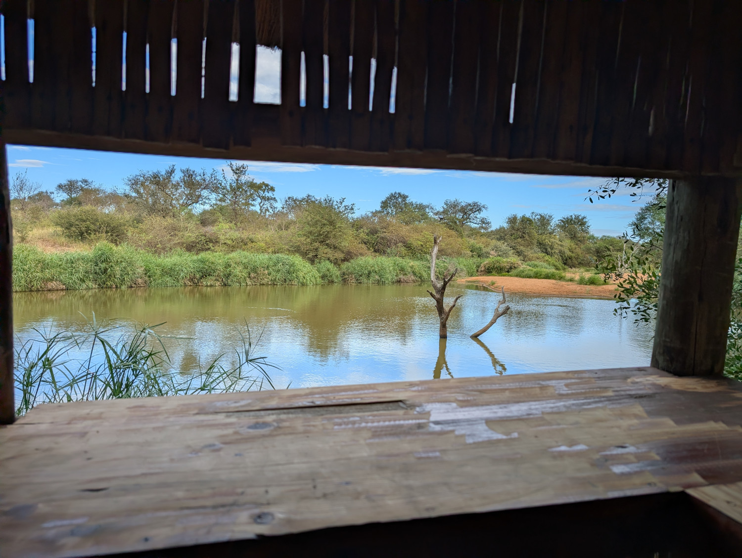
It’s clear that the designers of the Hoedspruit Wildlife Estate share my wariness. (Birds of a feather, them and me, you might say? Rather not, thank you kindly!) The estate provides a neat little hut where you can hide from the birds. This is the serene scene from one of the windows in the bird hide:
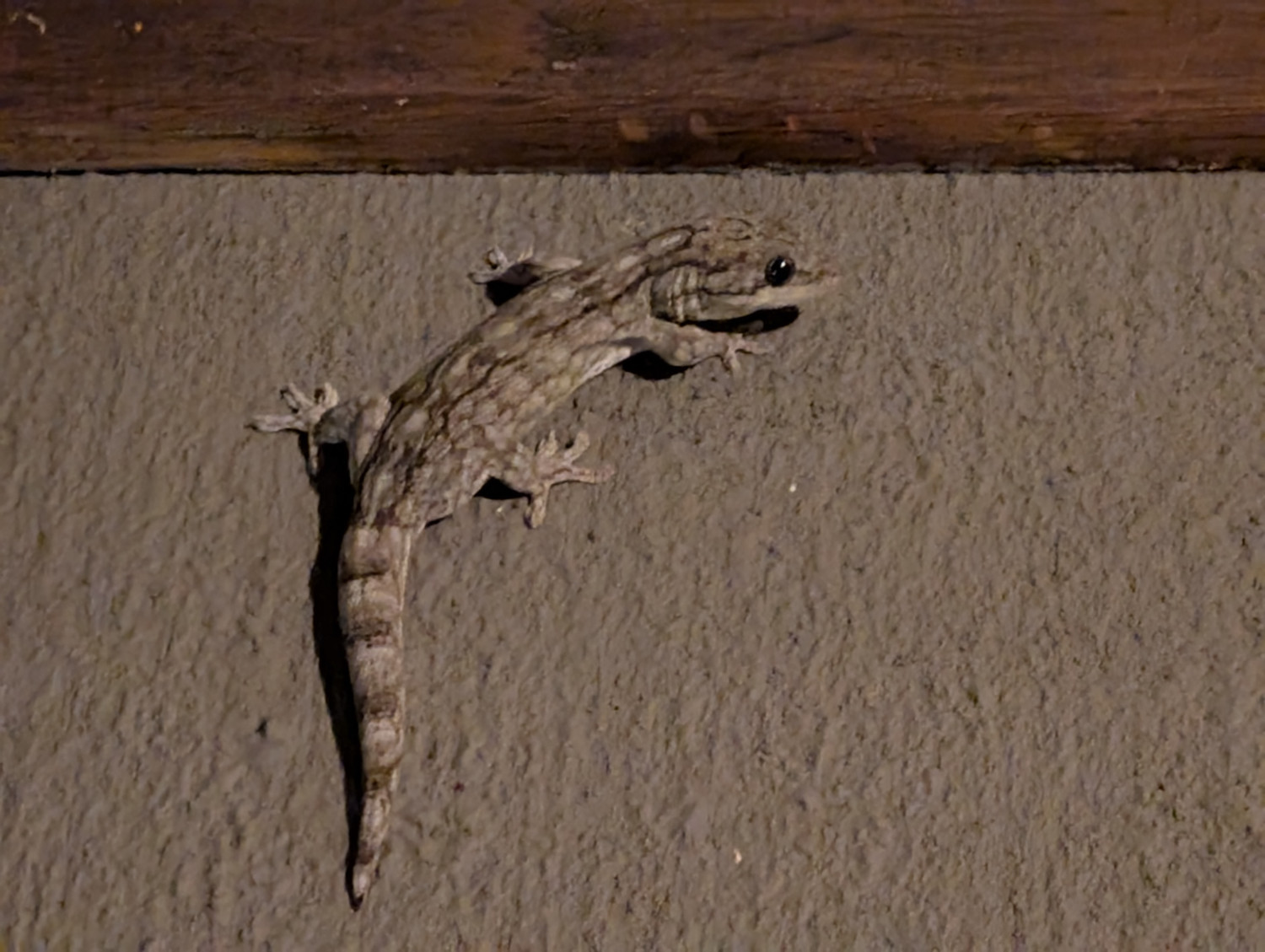
Still on the theme of foes, this large gecko might give me a run for my money:
Moving on from the foe, what about the friend? I spotted two of my kith and kin. Both have adopted a more elaborate approach to wardrobe than yours truly. Self adornment as a defence mechanism.
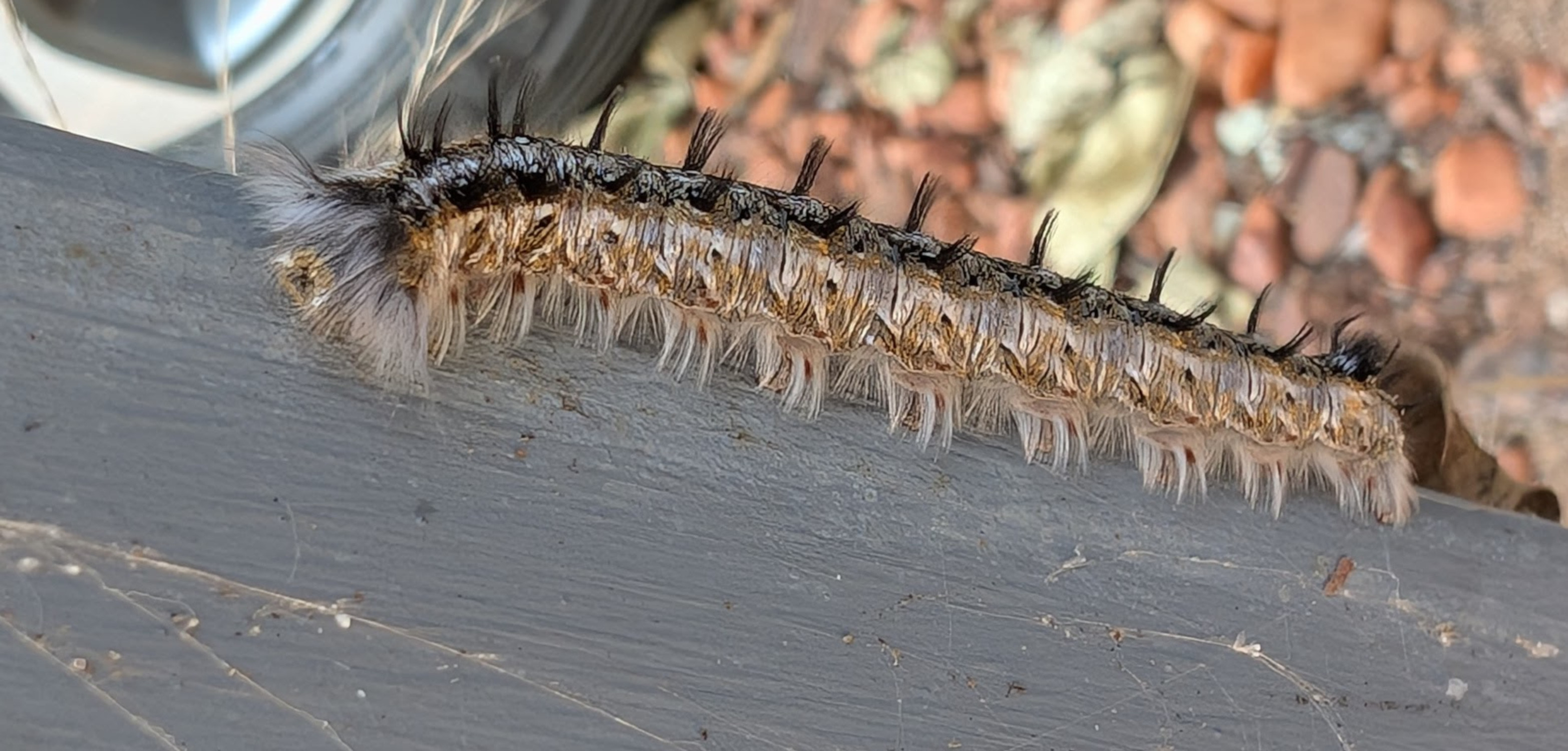
First, a Lappet moth caterpillar. This little dude will shoot its hairs at anything that touches it. I’m now looking into acquiring a face shield such as this:
My next little buddy goes to wardrobe extremes. A good defence, no doubt, against the neighbourhood pterodactyls. Meet the Inquisitive Monkey caterpillar:
Birds aside, are there other animals around?
The other inhabitants of the area are mostly friendly. Take Warty the Warthog for instance, who greeted us kindly when we arrived:
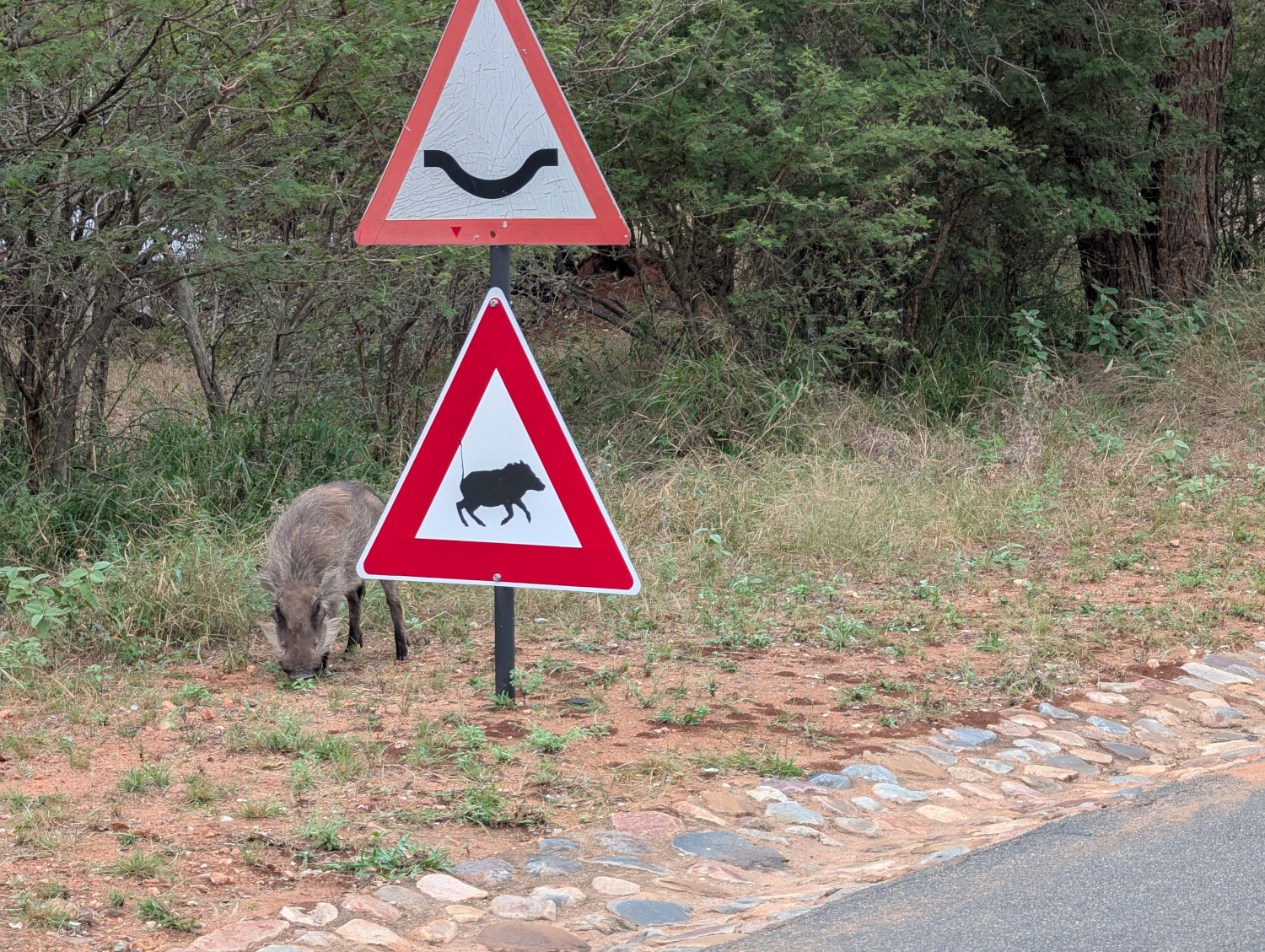
One of Warty’s brood decided to prove a road sign correct. Useful, in the time of misinformation that we all endure:
Later, Warty brought his family round to visit. They found our company so agreeable that they decided to spend the night under the household car. This video shows the fond farewell that the TC’s brother gave the warthog family the next morning:
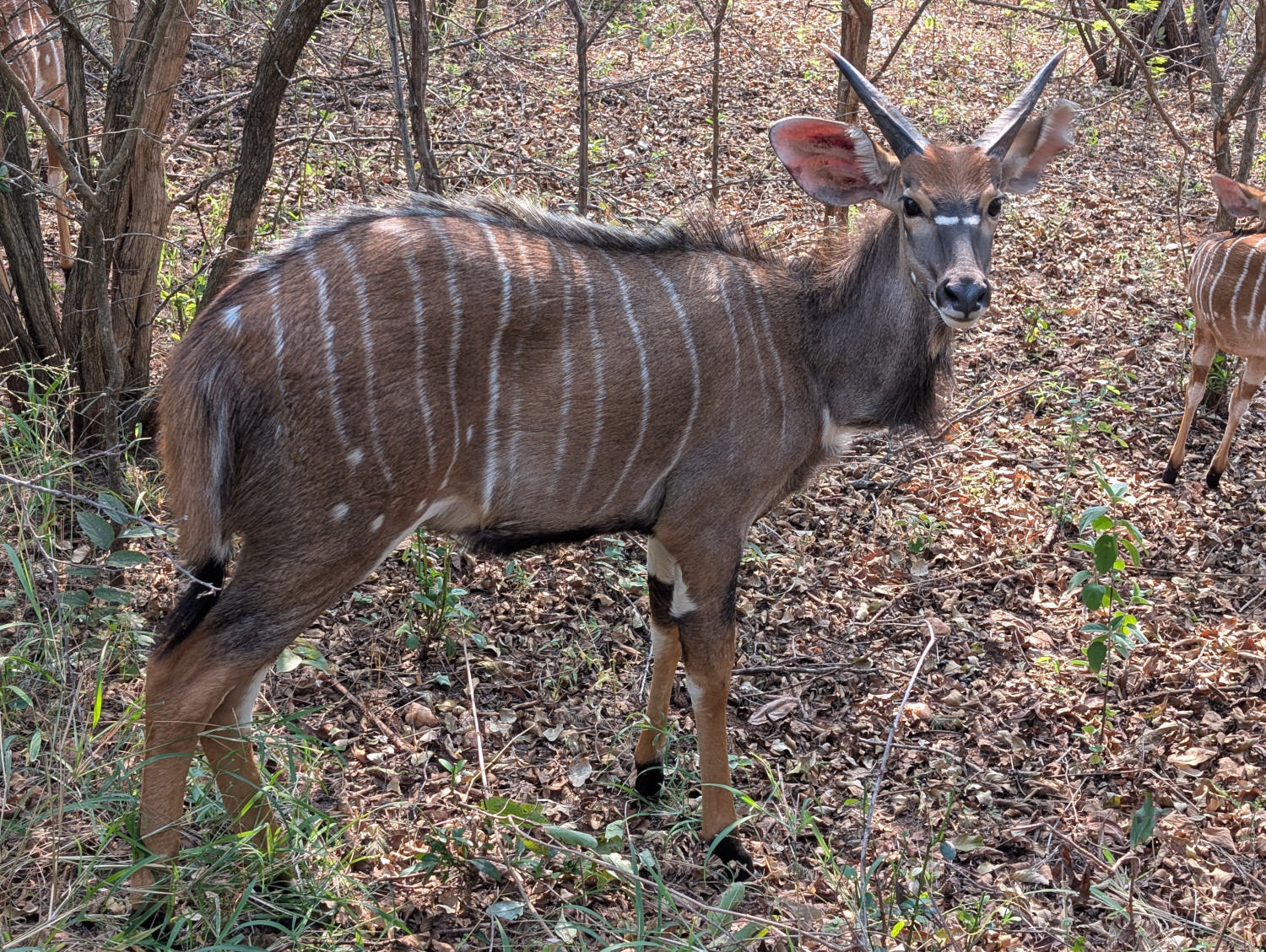
Several types of buck peer out from among the thorns. This one is surely one of the prettiest — a spiral-horned antelope called a Nyala:
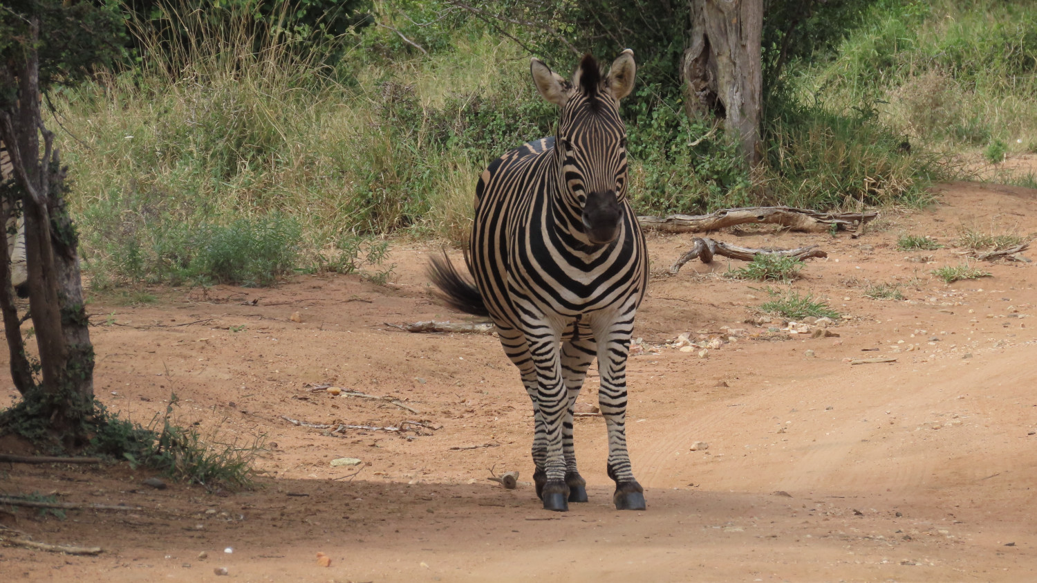
A zebra, a symphony of stripes:
Game drive at Khaya Ndlovu
The TC, bless her sturdy boots, decided to take us all on a game drive. We set out for to Khaya Ndlovu on the Rietspruit Big 5 Game Reserve, a private reserve close to the Kruger National Park. The name “Khaya Ndlovu” means “home of the elephants”.
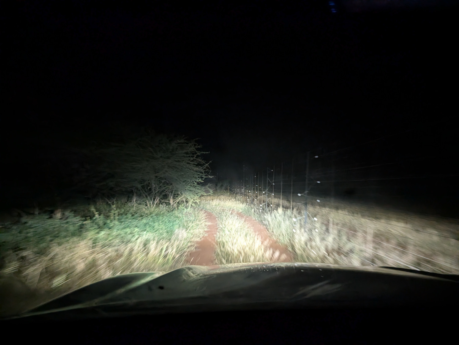
Predictably perhaps, we took a wrong turn and ended up on a dirt road running alongside the outside fence of the reserve. It was early in the morning, because evidently the early worm catches the game.
Trouble is, it’s unwise to get out of the vehicle in the dark, because, remember, predators are about! We couldn’t turn around without having someone outside to guide the driver. Instead, we bashed on.
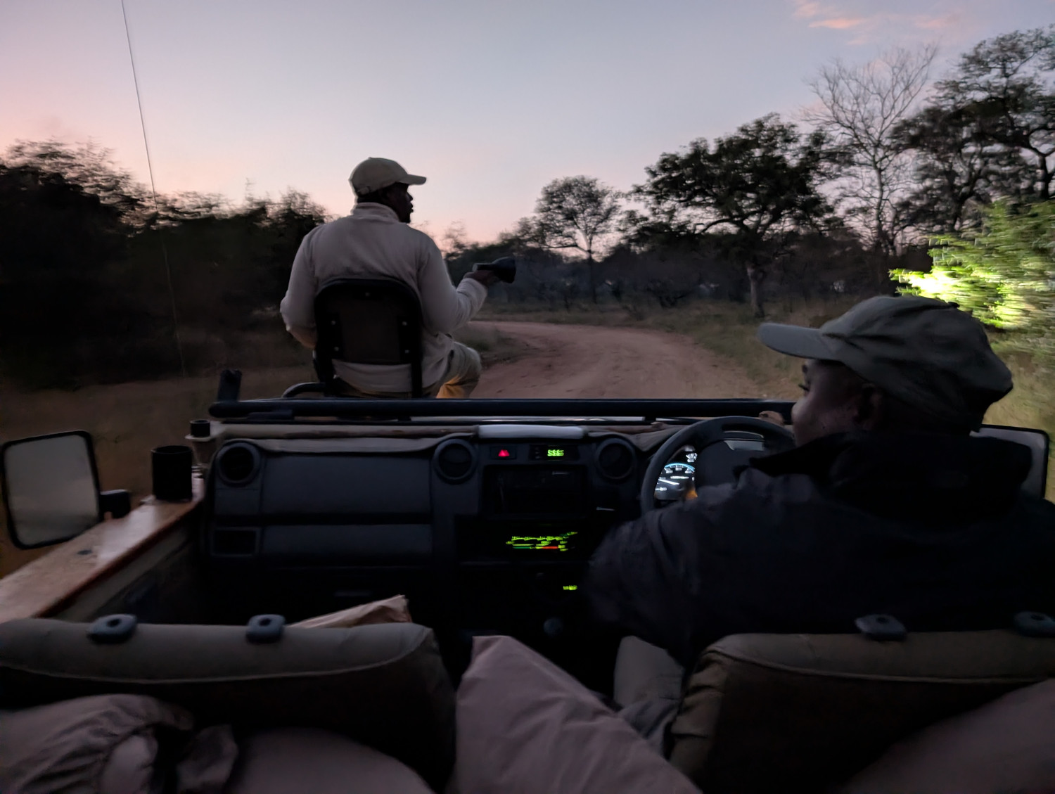
After a hoary few minutes, we arrived at the Khaya Ndlovu guest lodge. Hot coffee was on offer to fortify the nerves, then we set out in an open game vehicle just as dawn was breaking:
The drive was an experience to remember. The TC was in her element, jolting along dirt roads, some of them with nicely (her word, not mine) washed out ruts, and a few river crossings for good measure.
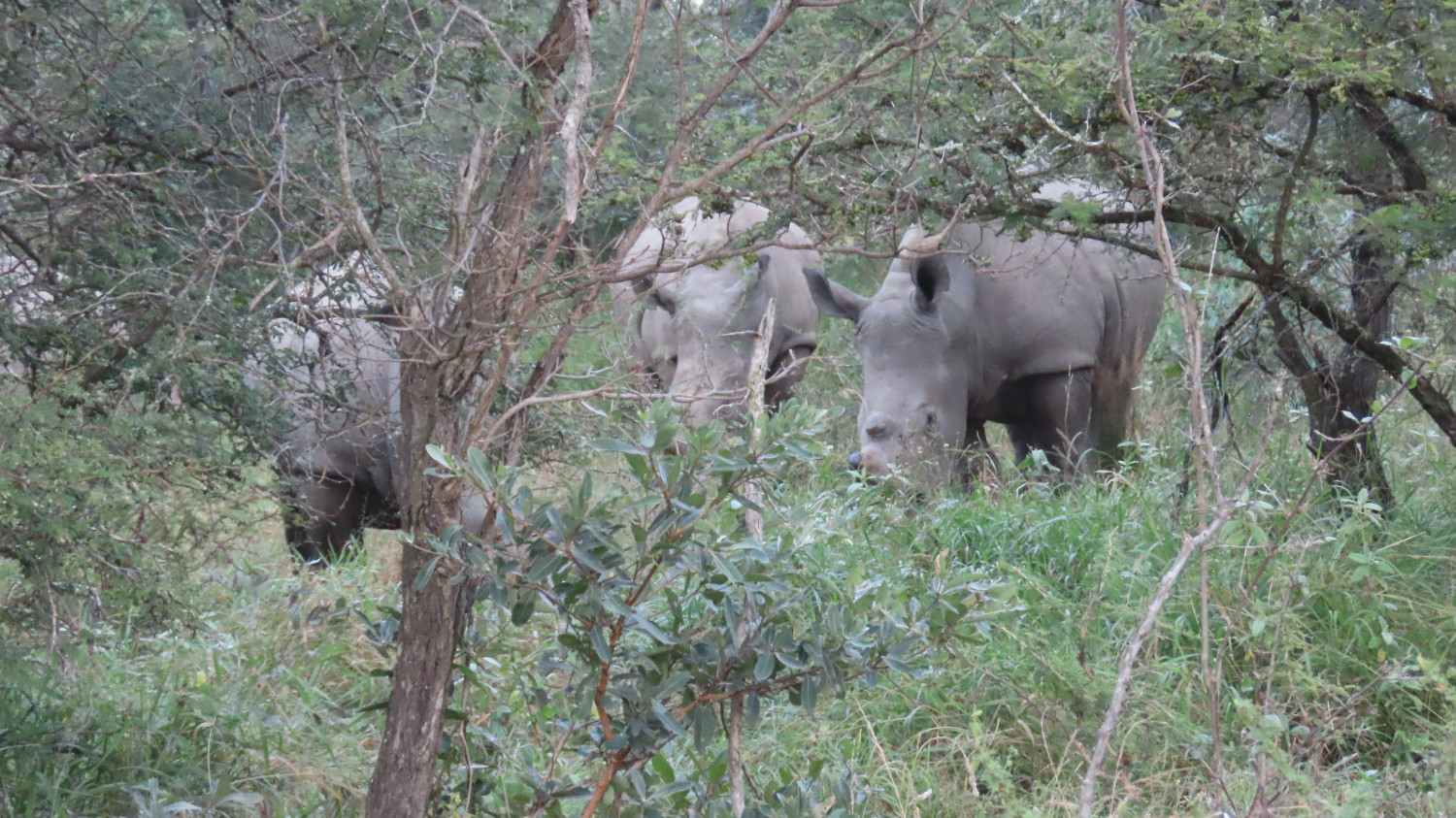
Rhinos nestled up to the vehicle, unaware that we were there until they bumped their noses on the truck:
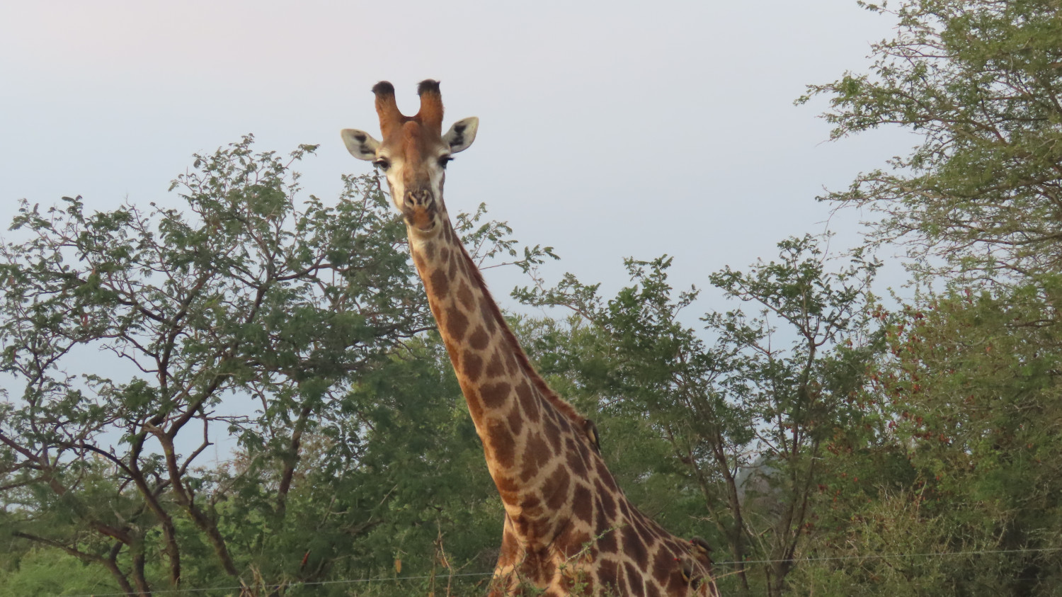
Giraffes loomed with wary disdain:
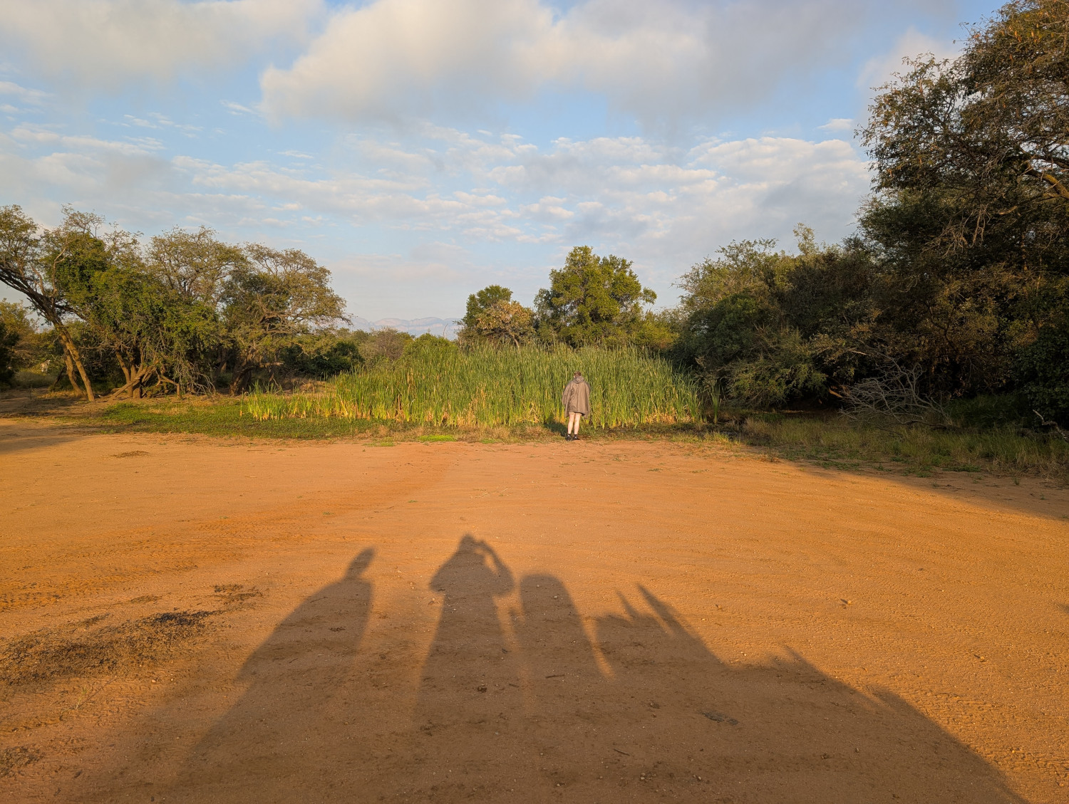
We stopped for a break at a waterhole. The person in the distance is wearing a warm jacket provided by the game drive hosts:
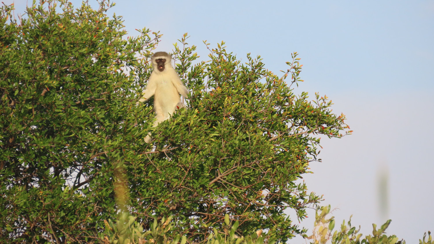
Vervet monkeys looked on:
The last word is from a bird
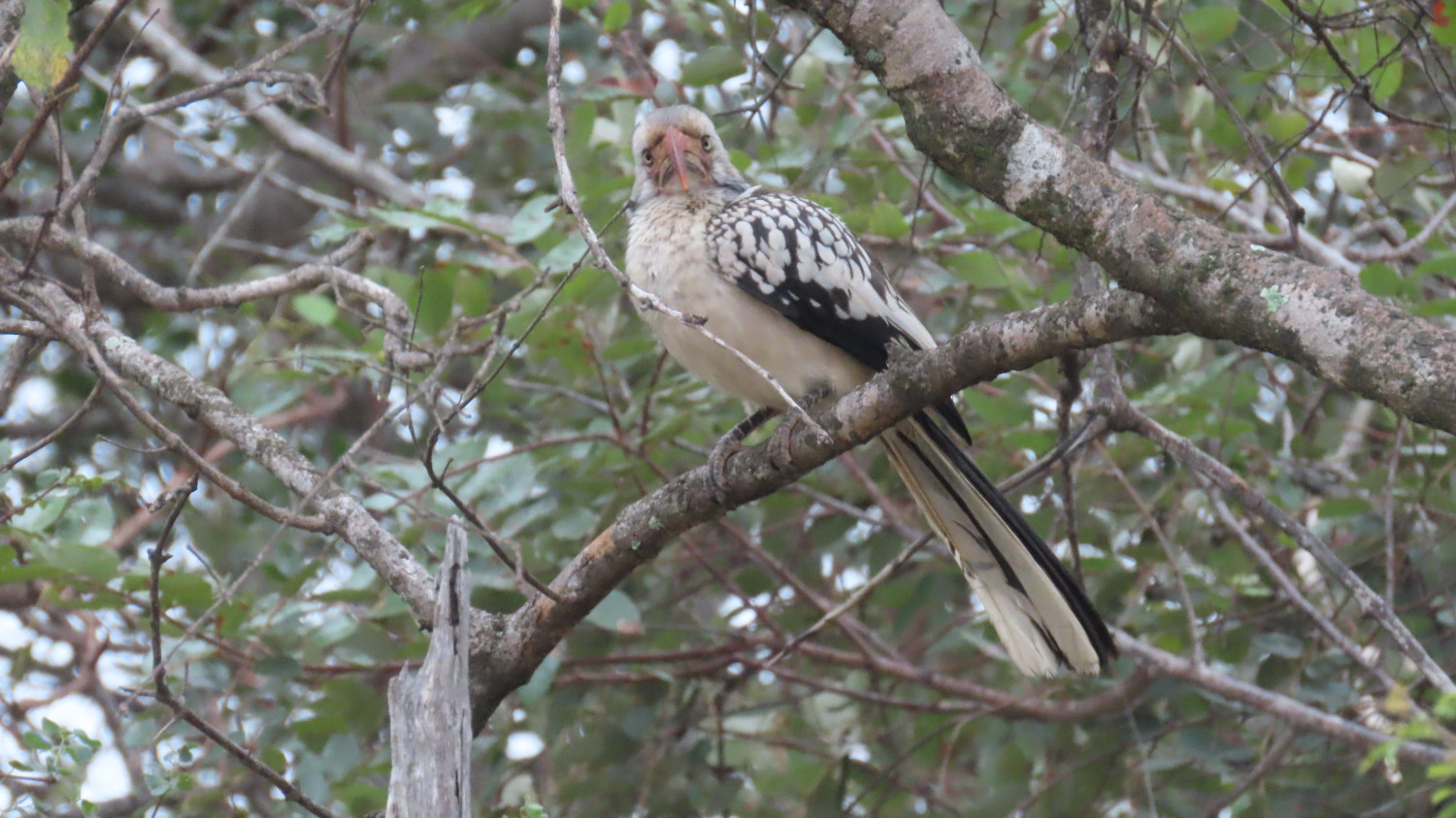
“Really? You need a photo at this time of day? Just go away, do!”
In this post: The scenic track from Balgowlah to Dobroyd Head, part of the Spit Bridge to Manly Walk.
This is the blog of Mark Wordsworm, the travelling worm. I’m a 40-year-old bookmark (give or take a few years) and I proudly boast my own Hallmark serial number, 95 HBM 80-1. You’ll probably want to read all about me and my Travelling Companion (the TC).
Today’s travel notes
Me and the TC (bless her cotton socks) have often ambled down Forty Baskets Track in Balgowlah, braving the beach crossing to continue along Reef Beach Track and up the steep steps of Dobroyd Head Track. At the top of the head, near Tania Park, we do an about turn and take the welcome downhill track back to Balgowlah. This post shares some of the beauty of the area and a few bits of local interest.
The book I’m in
Shadow Captain by Alastair Reynolds. I’m chomping through this book at the speed of light. It’s a fast-paced space opera in the best tradition of the genre. Shadow Captain follows on directly from part one of the series, Revenger. This worm will be urging the TC to get hold of the next book in the series.
Travel tips
Put on your walking shoes (all six of them, in my case) and take a walk on the bright side.
The photos
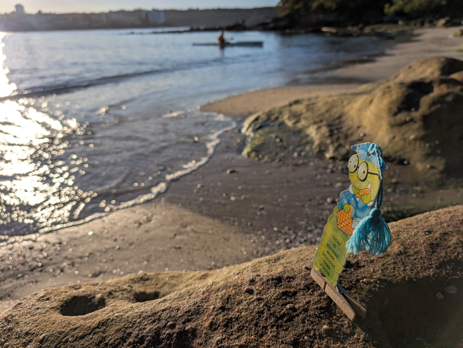
Me and Peg finding a firm footing at Reef Beach, alongside the Dobroyd Head walking track on the shores of Sydney Harbour:
Like many of Sydney’s beaches, Reef Beach is often reshaped by the tides. The sand moves from one end of the beach to the other, covering and uncovering rocks, exposing channels, and generally changing the area’s appearance. Sometimes it’s quite a leap from the last step down onto the sand. At other times you scratch your head and think, “I could have sworn there were more steps going down to the beach”.
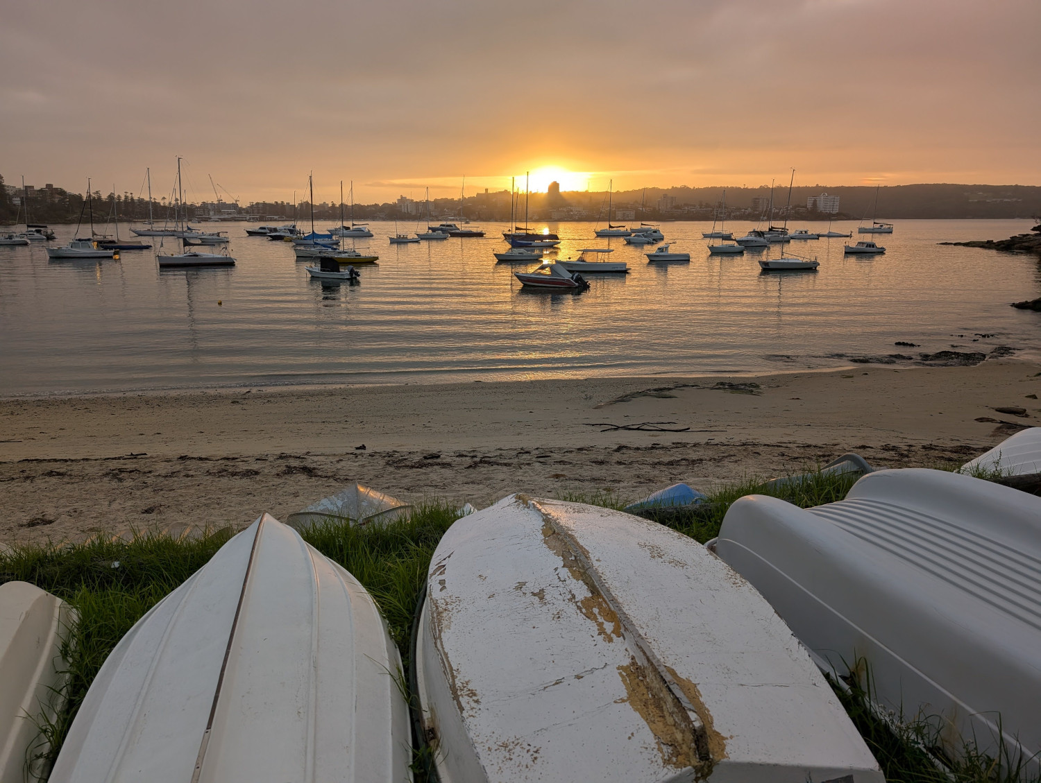
If the TC gets up early, as is her wont, we catch the sunrise over Forty Baskets Beach:
“Forty Baskets” is an odd name for a beach. The tale that this worm has heard most often is this: the name refers to 40 baskets of fish that the local fishermen collected way back in 1885. Their goal was to feed a large group of soldiers who’d returned from war in Sudan, only to be hustled into the nearby quarantine station to recover from various infectious diseases that they’d acquired while overseas.
However, that lovely tale of baskets, fish, and deserving troopers might not be true. The Daily Telegraph has conducted some in-depth research and discovered that the beach was referred to as Forty Basket Beach even before the fishermen’s generous collection. And yes, observant reader, it was Forty Basket (singular) not Forty Baskets. After further digging, the Daily Telegraph finds that the word “basket” was in those days used as a measurement (like the word bushel). We often use the singular when referring to a measurement. For example, a two metre pole or a ten tonne truck. The article is worth a read.
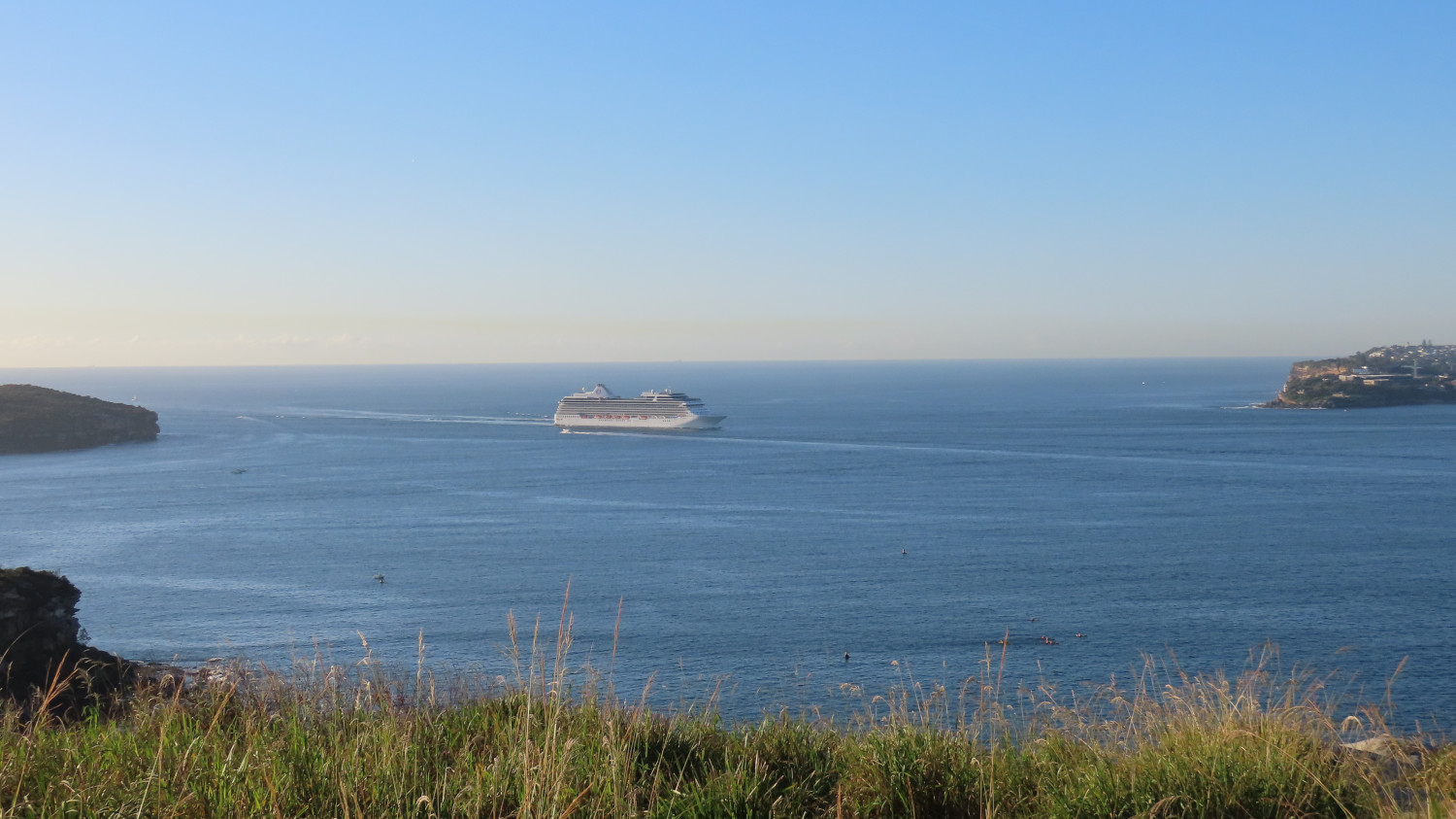
The harbour views on this walk are spectacular. This photo shows a passenger liner making its way into Sydney harbour through the gateway formed by North Head (on the left) and South Head (on the right):
Let’s take a closer look at the passenger ship. Behind it stands Hornby Lighthouse on South Head. The lighthouse opened in 1858, the third lighthouse to be built in New South Wales. A few of the ship’s inhabitants group together in the viewing platform on top of the ship’s tiers to experience the harbour entry:
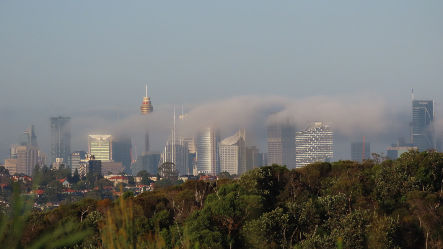
Sydney city seen from Dobroyd Head, with the sun burning off the early morning mist:
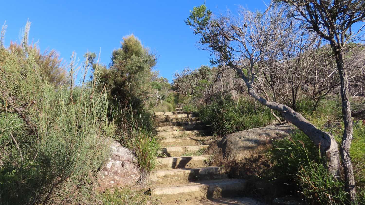
The path is steep at times. Irregular steps provide good exercise for those quads and calves — for those of you with fewer than six legs, anyway:
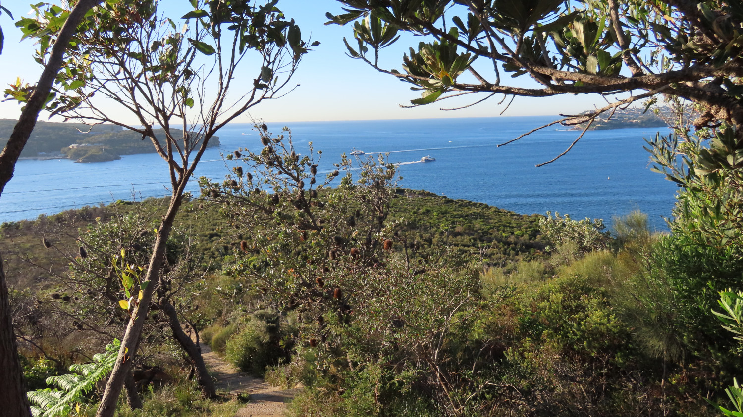
If you need a breather, turn around and take in the view. You might see the Manly ferries passing as they make their way between Manly and the city. The two in this picture are the privately-run Manly Fast Ferries (as opposed to the slightly slower and more traditional yellow and green boats of the Manly Ferry public service):
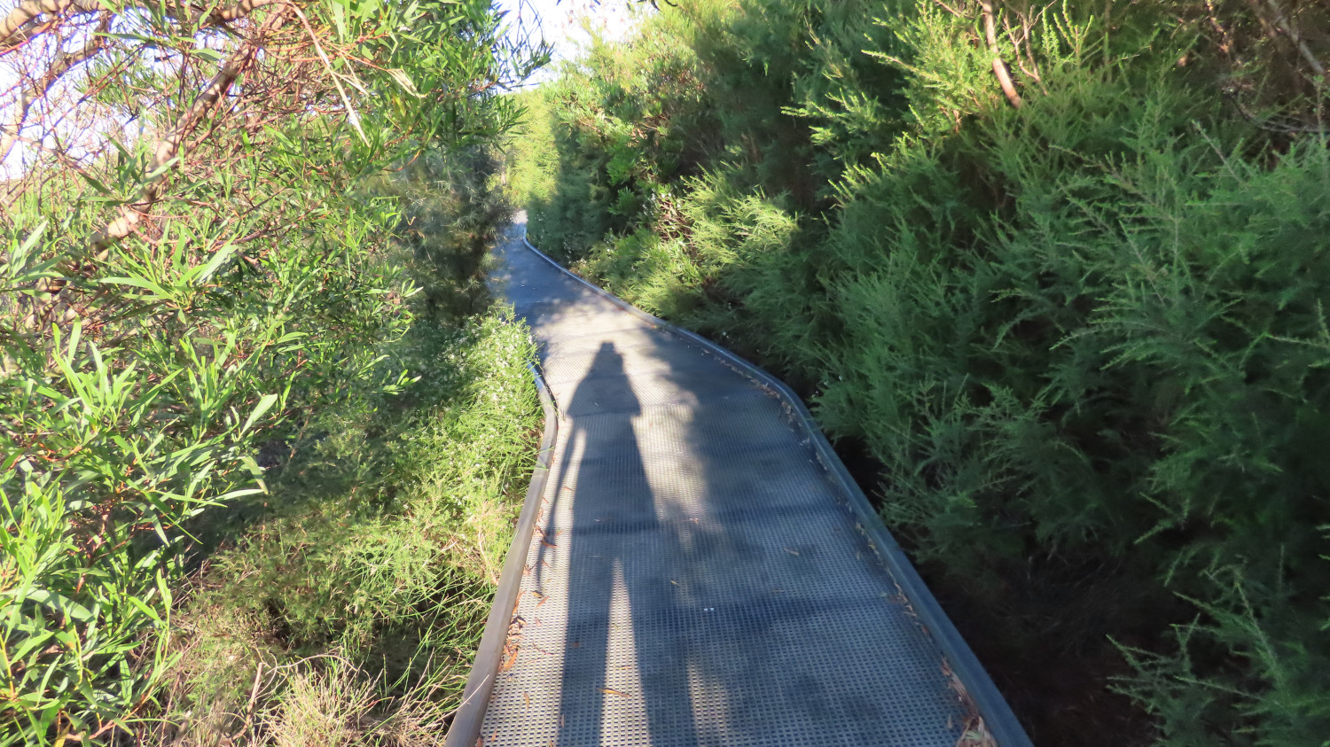
After the steep climb, a more leisurely path awaits you, sometimes open to the views and at other times walled by bushes and flowers:
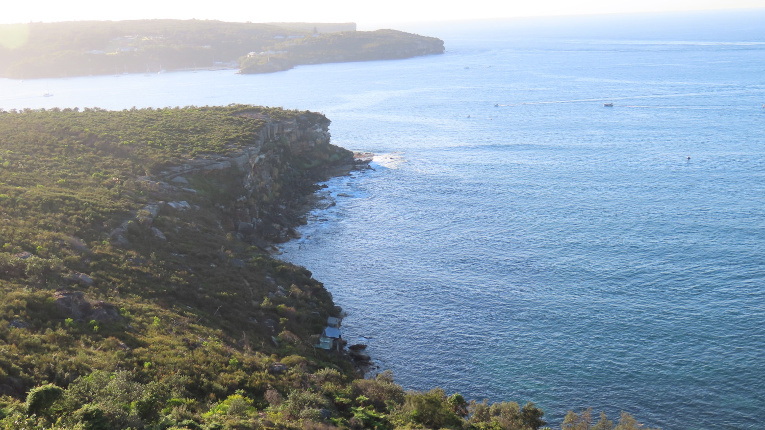
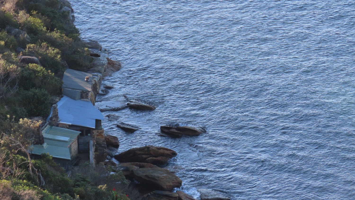
The viewing point just below Tania Park offers another stunning view of the harbour entrance. In the next picture, just North Head is showing in the background, with Dobroyd Head stretching out in the foreground. Down below, those with an eagle eye can spot the historic huts of Crater Cove:
Let’s take a closer look at some of the huts of Crater Cove:
Russ Grayson has published an intriguing account of his experiences with the huts over the years: Hidden paths: the lost settlement at Crater Cove. The first of the huts were built in the 1920s, and various groups of people have inhabited them over the decades. Now, however, the huts are boarded up. You can walk down and look through the windows, and stand on the rocks to gain a feeling for the place. The path down is somewhat hard to find, and the track disappears in places. But it’s well worth the scramble.
This worm won’t go into the ins and outs of the huts’ story. Russ Grayson does that very well. Suffice it to say that the cottages have a long and interesting history.
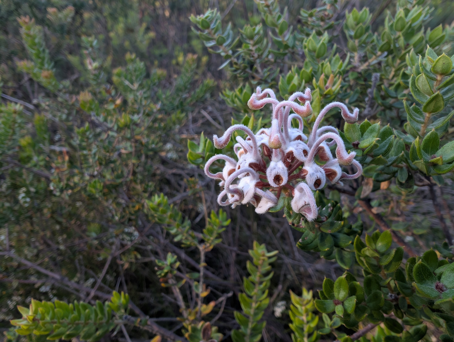
What else will you see on the Dobroyd Head Walk? Plenty of native vegetation, including this Grey Spider Flower (Grevillea buxifolia). This worm doesn’t see the spider reference. Rather, the flower looks to me like a cluster of tentacled aliens who’ve landed on Earth and are screaming in horror:
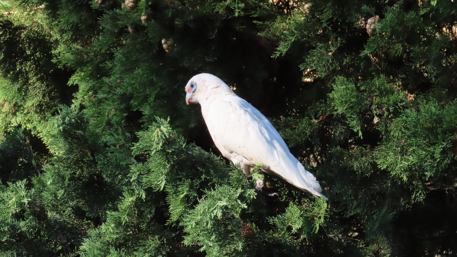
There’s a plethora of birds, like this Corella:
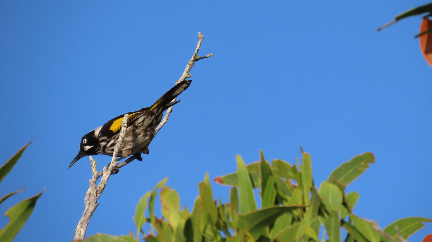
And this New Holland Honeyeater:
The TC, bless her clever grey cells, knows a lot about birds. Hence yours truly’s ability to name our feathered acquaintances so precisely. It goes without saying that yours truly stays well hidden during the bird-watching part of the expedition. Well away from all those scary beaks!
For the brave souls amongst you: If you’d like to see more of the birds of this area, take a look at the TC’s blog, Sydney Birder. In particular, check out her posts about the birds she’s spotted at Forty Baskets and Dobroyd Head.
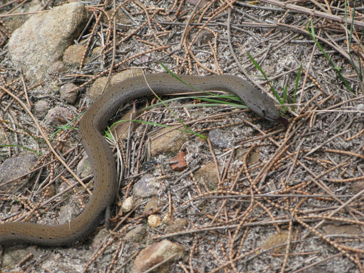
Lizzie the Legless Lizard is much more my kind of person. We met her quite a few years back on Dobroyd Head. Although you might be tempted to yell snake, you’d be wrong. At some stage in the distant past, her kith and kin decided that legs were overrated. A close look reveals the stubs of legs that she’s left with:
The lucky walker will also see wallabies, water dragons, butterflies and beetles, the occasional falcon, parrots and many many more birds, and perhaps even a snake or two.
In this post: They look almost alien: male kangaroos fighting in the peace of the early morning. We’re at Tom Groggin campground on the New South Wales side of the Murray River.
This is the blog of Mark Wordsworm, the travelling worm. I’m a 40-year-old bookmark (give or take a few years) and I proudly boast my own Hallmark serial number, 95 HBM 80-1. You’ll probably want to read all about me and my Travelling Companion (the TC).
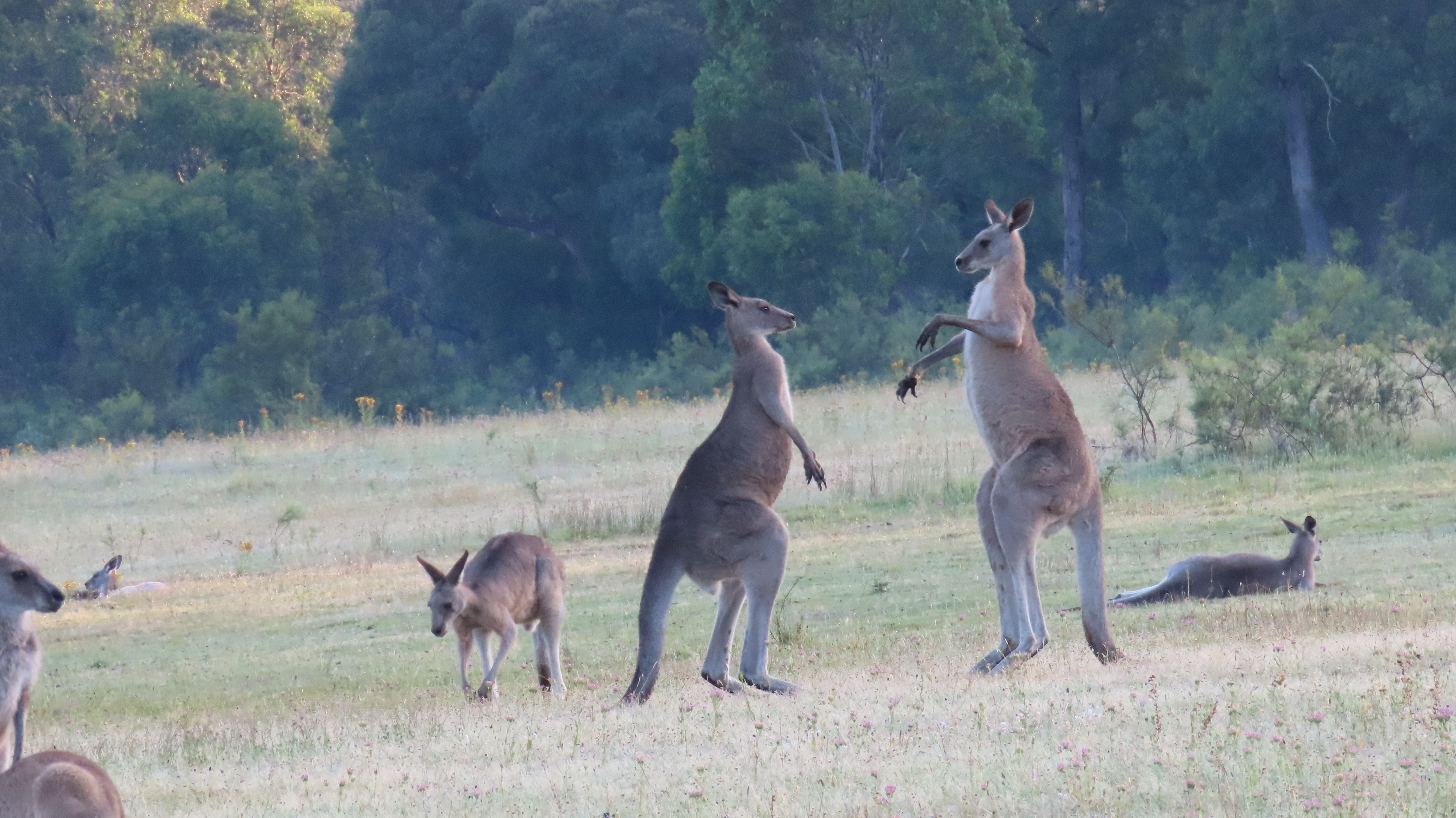
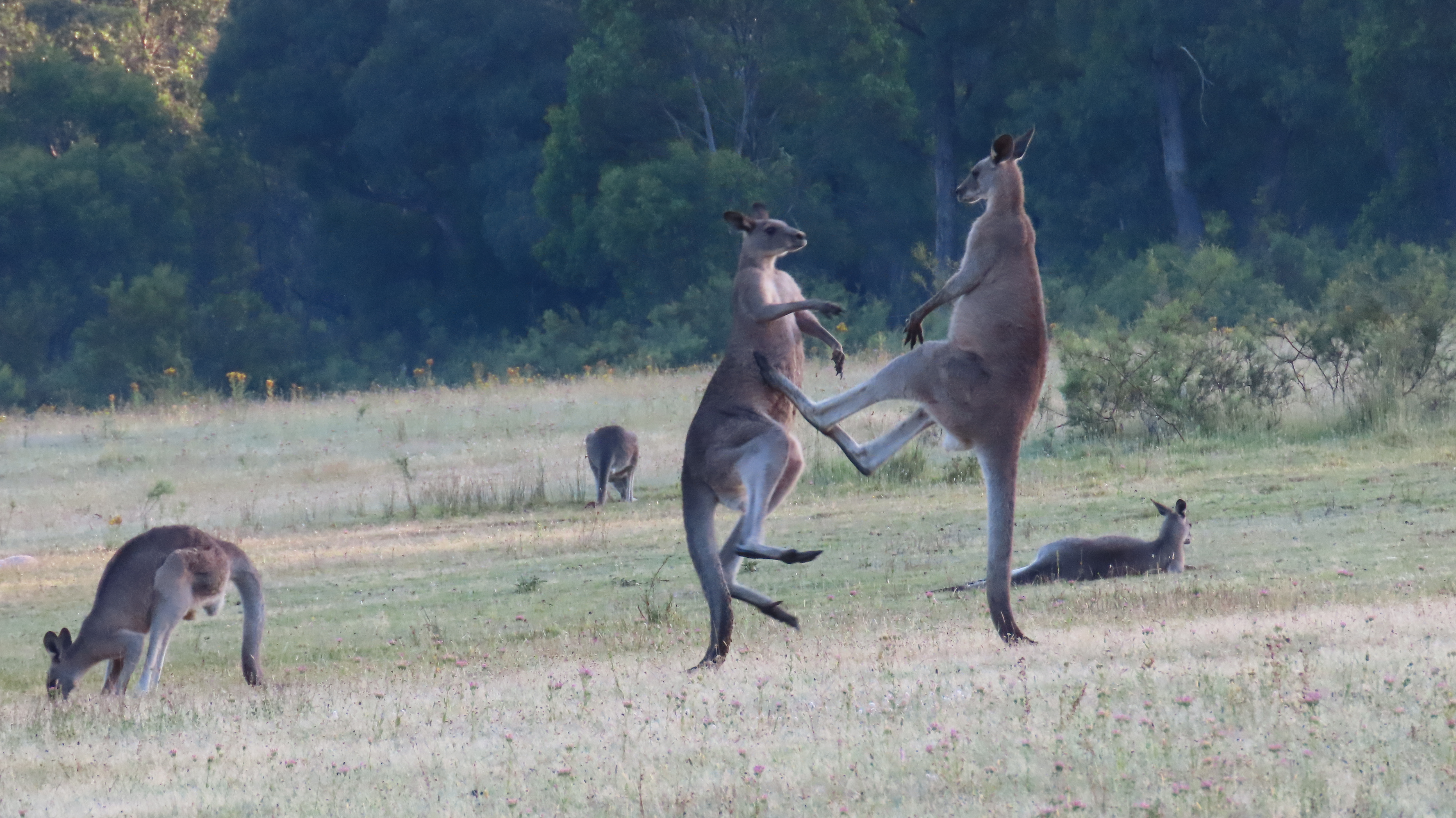
The upcoming video shows a lovely long scene of kangaroos in the early morning at Tom Groggin campground, on the banks of the Murray River, NSW. Two pairs of males practice their boxing skills. Nearby, a mother feeds her child. At around the 3:10 timestamp, one of the boxing kangaroos barks and huffs at the other a few times. It gesticulates with its arm and scratches its side, warning the other boxer off. Meanwhile, the other ‘roos carry on as normal:
The kangaroos are well accustomed to people camping on the wide grassy spaces. After we set up camp, they came quite close and watched our activities with interest.
A few horses came close too. The TC, bless her cotton socks, went all misty-eyed when she saw them, and talked of brumbies and The Man from Snowy River. We’re in the right area for all that, apparently:
Let’s finish up with some still shots of those fighting kangaroos:
In this post: Crossing the Murray River is a 4WD milestone. The water can be deep, swift, and treacherous, or it can be a doddle. How was it for us?
This is the blog of Mark Wordsworm, the travelling worm. I’m a 40-year-old bookmark (give or take a few years) and I proudly boast my own Hallmark serial number, 95 HBM 80-1. You’ll probably want to read all about me and my Travelling Companion (the TC).
The TC, bless her adventurous cotton socks, has long wanted to cross the Murray River. Not the standard way, over a bridge. Rather, she yearned to drive across the river bed. Through the water. Over the rocks.
The Murray is Australia’s longest river, stretching for 2,500 km (1,560 miles) from the Australian Alps in the east to the Southern Ocean in the west. It spends much of its time forming the boundary between the states of New South Wales and Victoria.
When the river is in full flood, it’s fast and angry. At those times, driving across the river bed would not be a wise choice.
We crossed from Victoria to New South Wales. The river was low and slow-moving. The crossing was easy and beautiful — a doddle:
Before leaving Victoria, we took a look at the Dogman’s Hut and campground on the Victorian side of the river:
There’s a perfectly usable drop dunny (Australian bush toilet) nearby:
After exploring the site a bit, we decided to camp overnight at Tom Groggin, which is on the other side of the river.
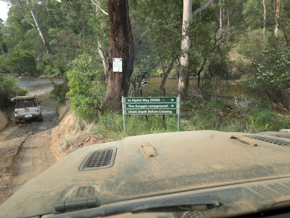
So, we crossed the Murray River, as shown in the video above. Here’s a photo of the Victorian side of the crossing, with a sign post helpfully pointing the way to New South Wales. The sign also advises us to Check Depth Before Crossing, skilfully avoiding the use of ALL CAPS but throwing in a few capital letters for good measure:
What’s it like on the other side of the river, and what delights does Tom Groggin hold in store for us? Read my next blog post to find out.
In this post: The crashing seas and imposing rock columns at Bombo Headland Geological Site, south of Sydney on Australia’s east coast
This is the blog of Mark Wordsworm, the travelling worm. I’m a 40-year-old bookmark (give or take a few years) and I proudly boast my own Hallmark serial number, 95 HBM 80-1. You’ll probably want to read all about me and my Travelling Companion (the TC).
Today’s travel notes
This worm has crawled past Bombo Headland several times, on past journeys heading south out of Sydney. Never before have I stopped to see what goes on in the area. A few days ago, me and the TC detoured off the beaten track (namely, the M1) to spend a couple of nights in Wollongong. During our stay, we took the small coastal roads down to Kiama, and on the way we stopped to see the headland.
The book I’m in
The Between by Tananarive Due. The TC has only recently discovered this amazing author. Already, we’re more than half way into our second book of hers, and the TC has bought four more. Count ’em, four! Tananarive Due writes beautifully-composed horror. Get into one of her books as soon as you can.
Travel tips
Take a detour from the highways whenever time allows.
The photos
Me at Bombo Beach:
A short walk from the beach, the waves churn and crash between the rock formations at Bombo Headland Geological Site:
A still photo of the same spot captures the watery turmoil:
The tall, squared-off columns of rock are imposing. The rocky ground beneath the rocks is quite bare, and glares in the hard sunlight. Combined with the churning seas, the effect is a little threatening. Definitely eery.
The columns are made of basalt and have a distinctive hexagonal shape, formed during volcanic eruptions 270 million years ago. Basalt is a hard igneous rock that’s produced when lava cools rapidly.
If you walk around behind the rock towers, the scene is more tranquil. A shallow pool lies quiet in the sunlight:
The occasional wave bounces high enough to breach the gap in the rocks and refresh the pool:
The TC, bless her slightly wet cotton socks, posed in front of another gap. She waited patiently for that Internet-favourite shot with the waves crashing behind her:
Here’s the same Internet-famous spot, without the TC this time:
In our recent travels around the Victorian High Country, me and Beetle the Jeep drove the Sixteen Mile Jeep Track (also called the Sixteen Mile Jeep Road). Although this track can be tricky in the wet, it’s not very challenging when dry. The forest and countryside are beautiful, well worth the drive.
Here’s a taste of the track:
Would you like to explore more of the Victorian High Country? I cordially invite you to crawl around a few of the tracks that we followed:



















 Travelling Worm