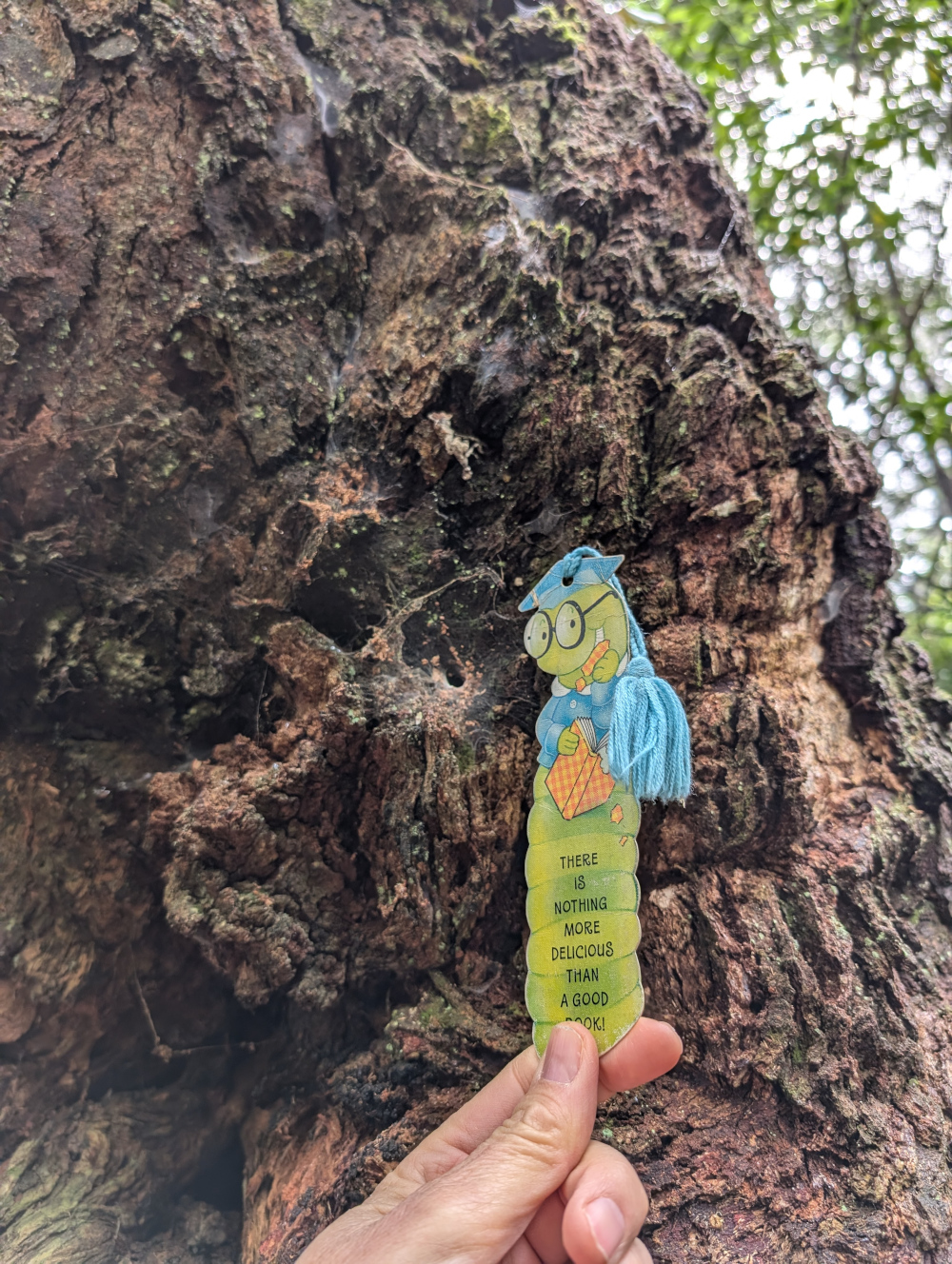
Travelling Worm

A bookworm's travelogue

Category: book review

  • Flinders Ranges, South Australia

    In this post: Gorgeous scenery and challenging technical driving in the Flinders Ranges, South Australia.

    This is the blog of Mark Wordsworm, the travelling worm. I’m a 40-year-old bookmark (give or take a few years) and I proudly boast my own Hallmark serial number, 95 HBM 80-1. You’ll probably want to read all about me and my Travelling Companion (the TC).

    Today’s travel notes

    Me and the TC recently spent a few days in the Flinders Ranges in South Australia. It’s a fair way from home: three solid days’ drive each way from Sydney. The long trek is well worth it. This must be one of the most beautiful places on earth. We were also lucky in that the region has had an unusually large volume of rain over the past several months. The hills and valleys were covered in vegetation, all shades of green and white and grey and red.

    The book I’m in

    The Ten Year Affair by Erin Somers. Since my previous blog post, the characters have been digging themselves deeper and deeper into the complexities of a long-lasting affair. A light snack for this bookworm is looking more like a full-course meal. I’m keen to see how this situation turns out for all involved.

    Travel tips

    If you go off the main roads, even onto the easy dirt roads, travel with at least one other vehicle. If something goes wrong, it’s very useful to have another, working vehicle to get you out of trouble. The landscape is huge and the conditions can be unforgiving.

    Recommended restaurant

    Flinders Food Co in Hawker. We went there for lunch, once and then again two days later. The TC, bless her cotton socks, was impressed when a staff member said, “Welcome back!”

    The photos

    Me at the entry to the Ikara-Flinders Ranges National Park:
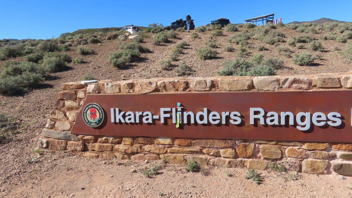
    Yes, I’m there. Look closely, dear reader. Yours truly is just a bit dwarfed by the grand sign. Everything in the Flinders is on a grand scale. Look for me between the L and the I. Peg is there too, hanging on to my tassle and balancing on top of the I.

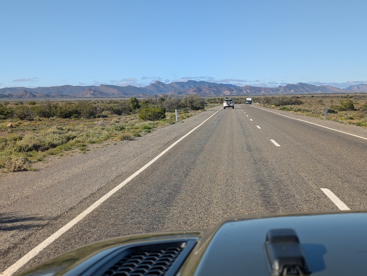
    The Flinders Ranges form the biggest mountain range in South Australia. They started forming about 800 million years ago and are one of the oldest mountain ranges in the world. They’re known as a “folded” range, which nicely describes the appearance of the mountains as you approach from the north west on The Outback Highway:
    Brachina Gorge and Bunyeroo Road

    Our first scenic drive in the Flinders Ranges was Brachina Gorge:
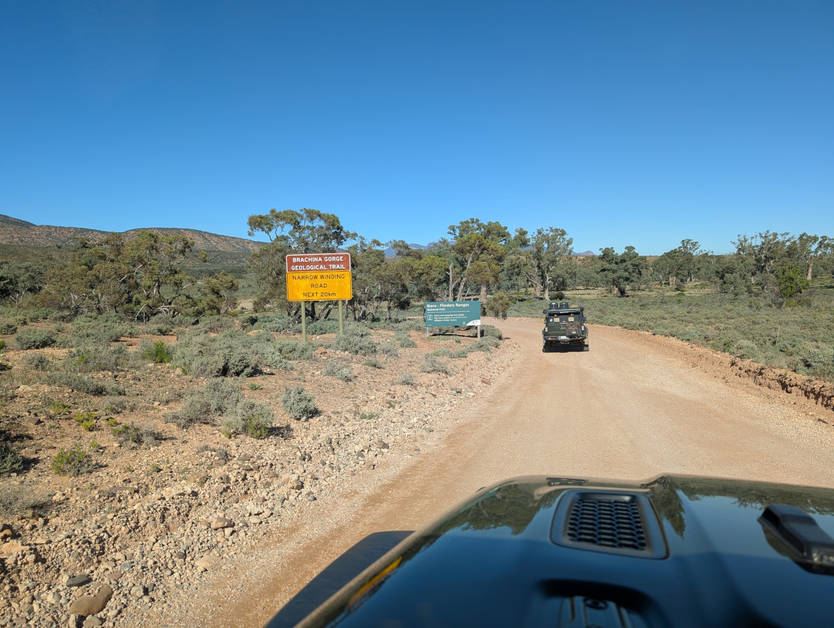
    For the most part, Brachina Gorge Road is an easy dirt road, winding through steep valleys and picturesque country. There is, though, the occasional creek crossing, some of which could be tricky in wet weather.

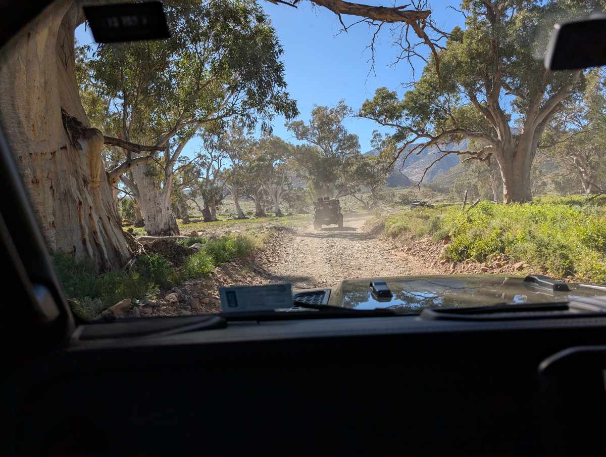
    Part way along Brachina Gorge Road, we took the Bunyeroo Road turnoff. Pretty purple flowers decorated the roadside. Pretty to the eye, but they’re known as Paterson’s Curse. They’re poisonous to grazing animals if eaten in bulk. Even so, some farmers allow their animals to eat these plants in moderation, as they’re sometimes the only fodder in a drought (despite being poisonous). So Paterson’s Curse is also called Salvation Jane.

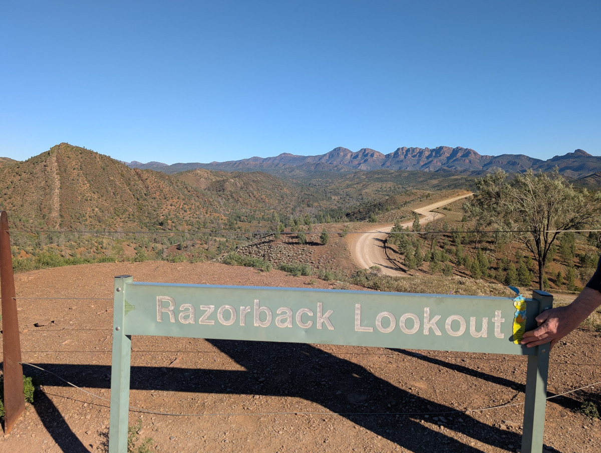
    One of the most spectacular viewing points in the Flinders Ranges is Razorback Lookout on Bunyeroo Road. Here’s yours truly at the lookout. In the foreground on the left is an interesting sharply-pointed hill with vertical stripes:
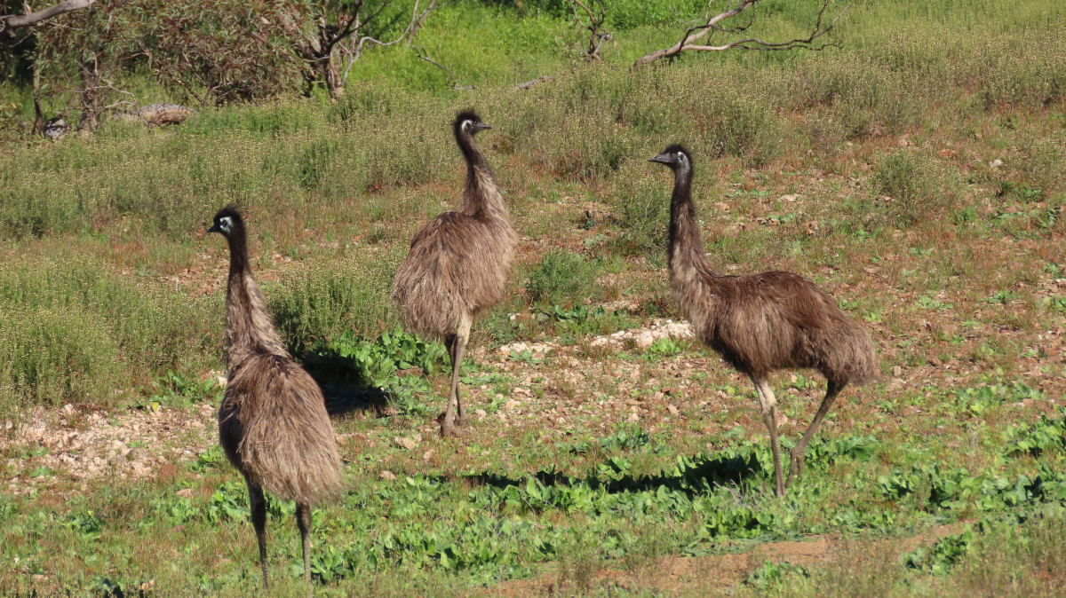
    Are those dinosaurs? The ancient landscape would seem to support the idea:

    No, they’re emus, Australia’s large flightless bird. They’re the tallest living bird in the world, after the ostrich.
    Wilpena Pound

    We camped overnight at Wilpena Pound resort. Wilpena Pound is a large, bowl-shaped valley in the Flinders Ranges, formed by huge slabs of rock colliding, folding, and pushing upwards in an oval ring.

    A 360 degree view of Wilpena Pound as sundown approaches:

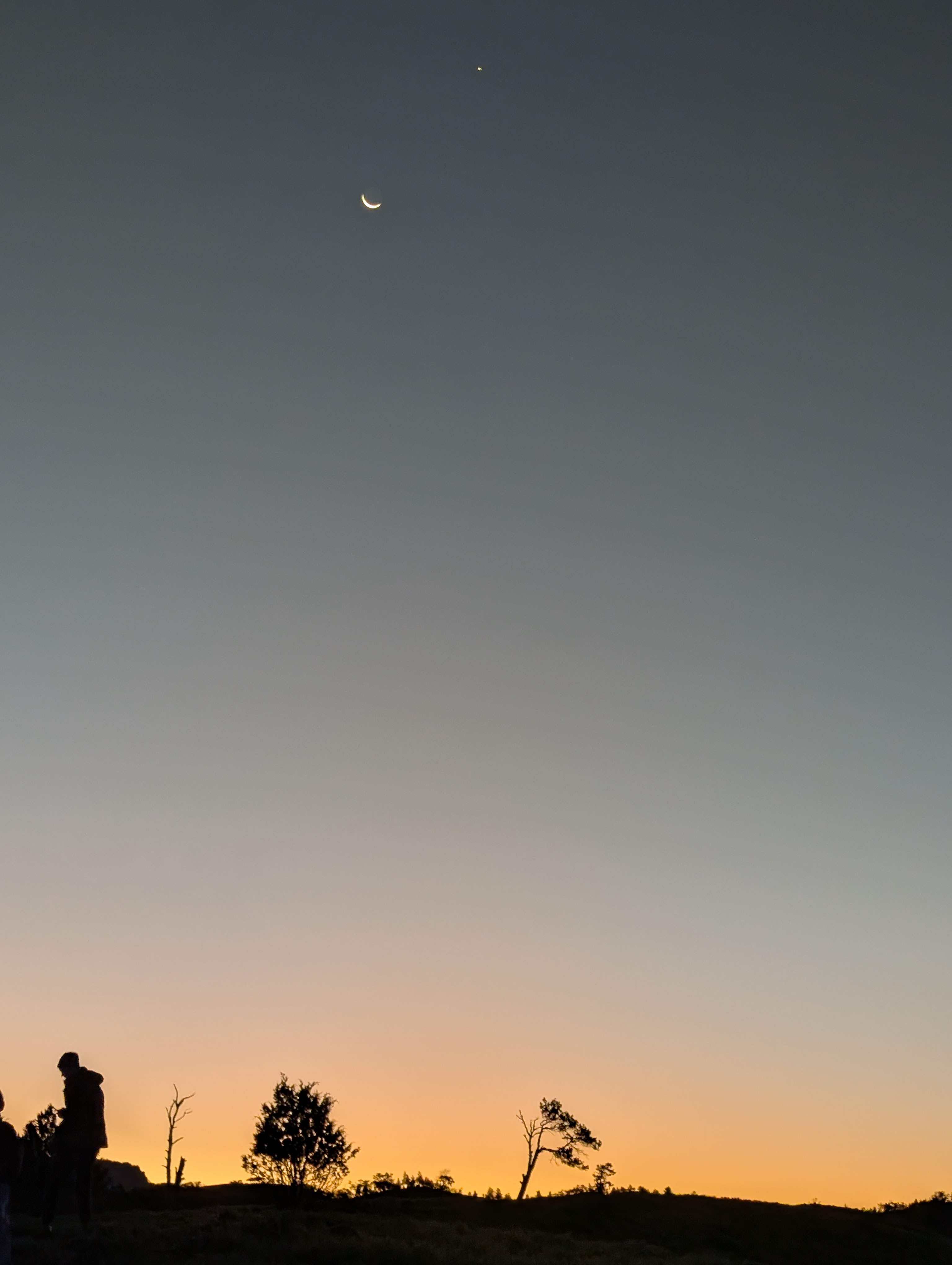
    The Moon and Venus came out as the sun went down:
    Bendleby Ranges

    Bendleby Ranges is a property in the Flinders Ranges where you can camp, explore 4WD tracks, and enjoy the natural beauty.

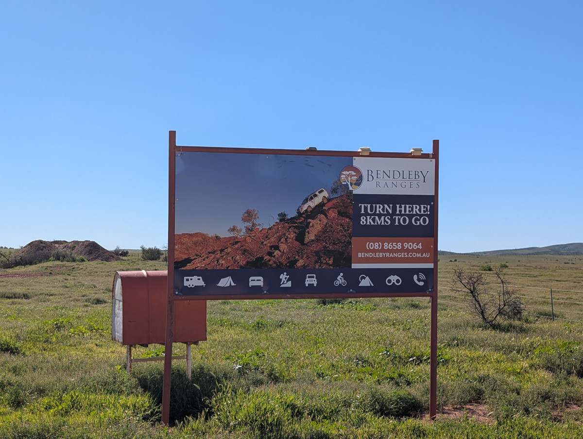
    Finding the property can be a challenge, especially if you decide to take the back routes. We didn’t so much decide as end up taking the back routes. Luckily this sign assured us that we were nearly there:
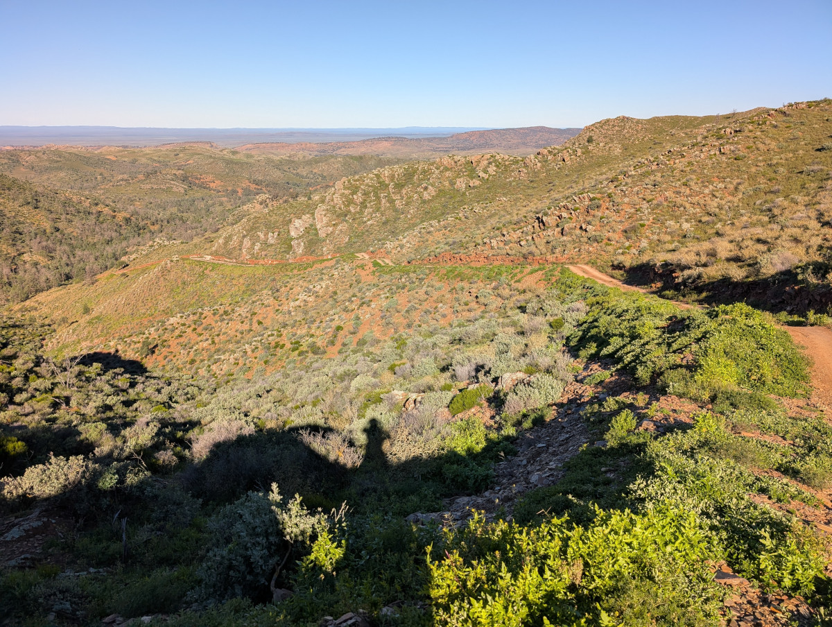
    The property owners have set out 210 kilometres of 4WD tracks that you can drive yourself. The tracks are rated for difficulty, from easy to hard. They’re all very beautiful, winding through hills with a huge landscape as the backdrop:
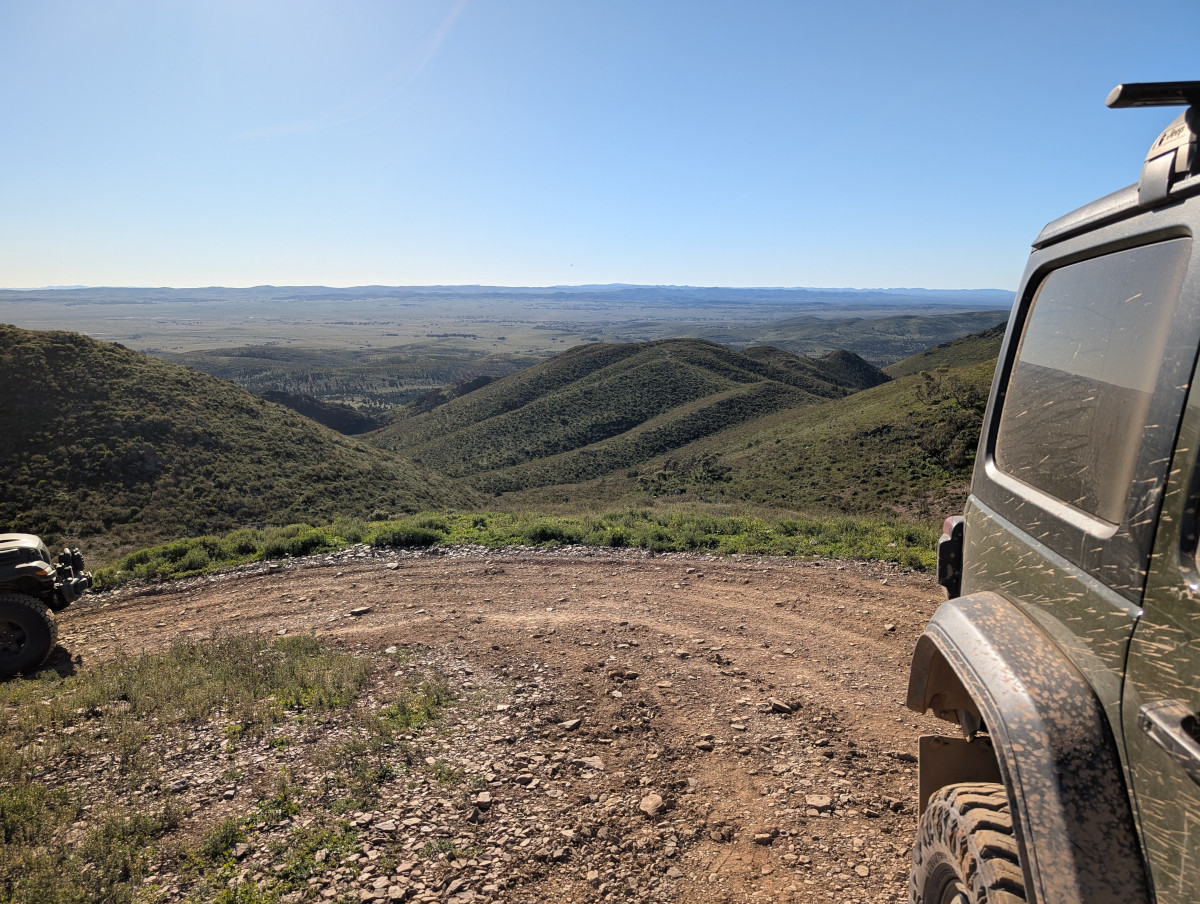
    Marchant Hill Lookout at Bendleby Ranges:
    This video shows part of a gorgeous and technical drive in the “Hungry Ranges”, the name given to an area containing the more difficult tracks at Bendleby Ranges. The track in the video is rated 10 out of 10 for difficulty. It should also be rated 10 out of 10 for beauty.

    Some of the tracks do require serious four-wheel driving know-how and a well set up vehicle with diff locks, high clearance, and a winch. There are some dangerously rubbly and steep ascents and descents.

    A well-known track is Billy Goat Ridge, not to be confused with Billy Goat Bluff in the Victorian High Country (see my earlier post about the Billy Goat Bluff Track). A signpost announces the start of Billy Goat Ridge:
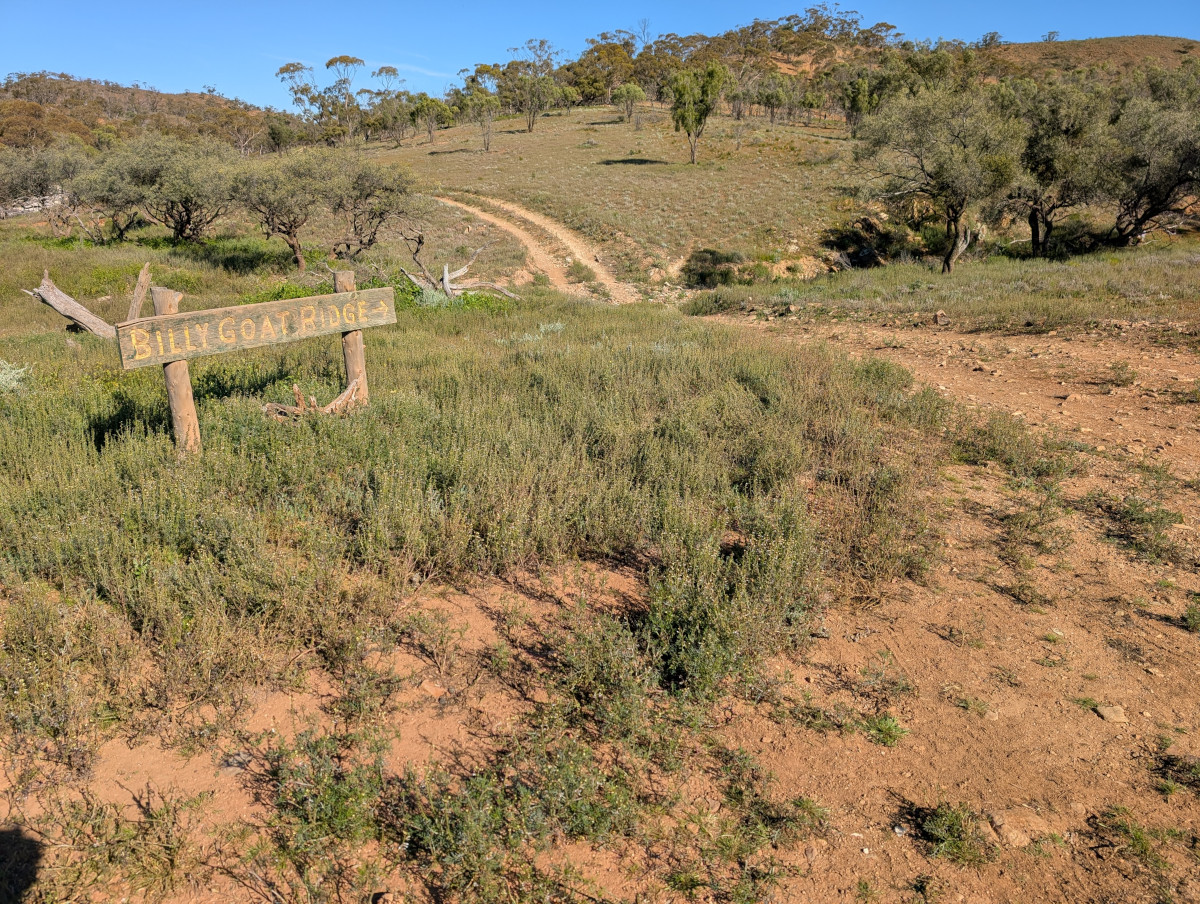
    The track wanders off into the distance. It looks deceptively tame, but it offers a good challenge to a keen four-wheel driver:

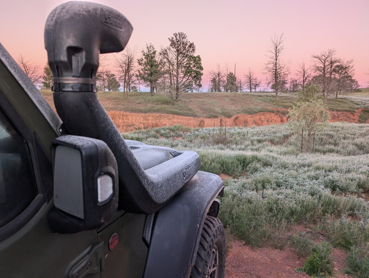
    Dawn at Bendleby Ranges can be frosty, especially in the month of July (mid winter) when we were there:
    At 7am, the weather app said the temperature was -2 degrees, feels like -4.7. The tent was covered in ice:
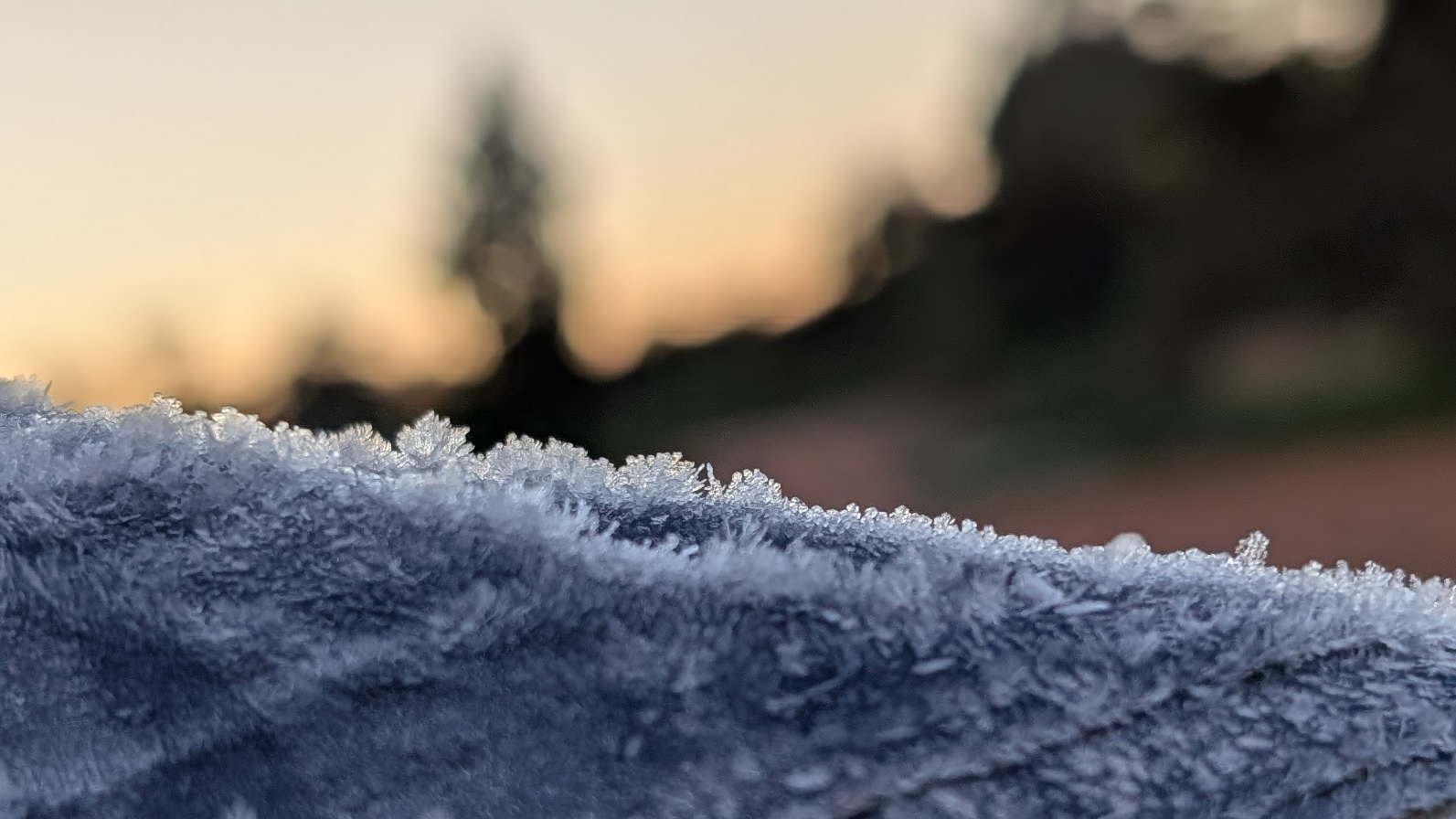
    There was even ice on the inside of the tent. The ice thawed when the sun hit the tent, and dropped in sheets with a pretty tinkling noise, all over the TC’s bedding and clothing. Everything got wet.

    The TC, bless her woolly mittens, prides herself on being a hardy soul. But even she decided that one night in an iced-over tent was enough to prove the point. We moved into a room the Shearer’s Quarters for the next night:
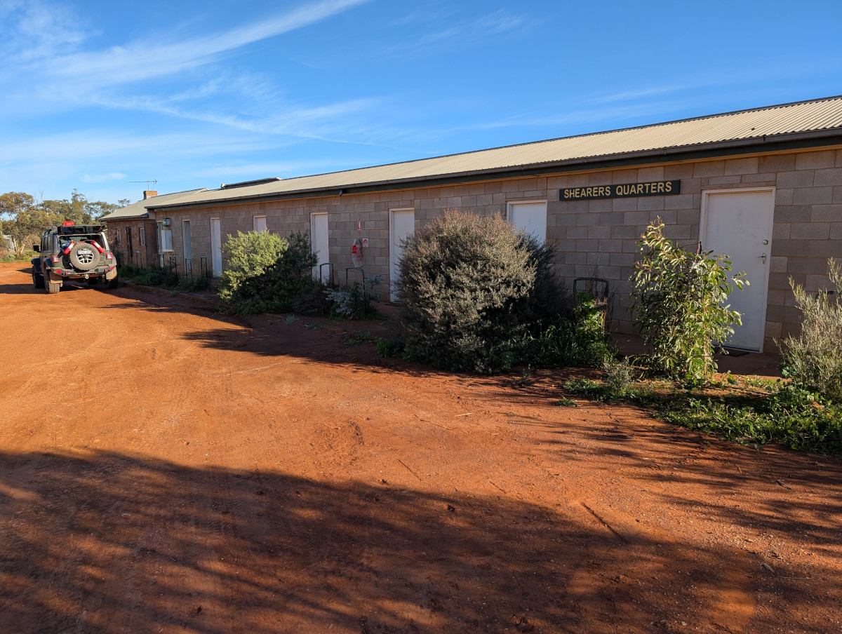
    The team at Bendleby Ranges opened up the Shearers Quarters just for us! The accommodation was comfortable though basic, and aah the warmth provided by the aircon was bliss.

    Fediverse Reactions

  • Westwards through Wagga Wagga

    In this post: Isn’t the whole interior of Australia made of red dust and clay? That’s what this worm has always been told. But not so.

    This is the blog of Mark Wordsworm, the travelling worm. I’m a 40-year-old bookmark (give or take a few years) and I proudly boast my own Hallmark serial number, 95 HBM 80-1. You’ll probably want to read all about me and my Travelling Companion (the TC).

    Today’s travel notes

    Me and the TC have just returned from an epic trip into Australia’s outback. We drove west and north for three days, drove around a bit, then drove back for three days. We discovered a huge land covered in shades of green with the red earth glowing through.

    On the first day of the trip, we drove from Sydney on the east coast to Wagga Wagga, slightly more than a third of the way across the state of New South Wales. Wagga Wagga is the largest inland city in New South Wales.

    What does the name Wagga Wagga mean?

    Firstly, why isn’t it just “Wagga”? Well, the local Wiradjuri language uses repetition to show the plural. So, “Wagga Wagga” indicates more than one “Wagga”. Several languages use repetition like this, including Malay / Indonesian.

    The word itself, “wagga”, means “dance” in Wiradjuri. Wagga Wagga is therefore the place of dances. Until recently, the official interpretation was “place of many crows”, but the Wagga Wagga city council set that straight in 2019.

    Informally, you can call the city just “Wagga”. Everyone knows what you mean.

    The book I’m in

    Shroud by Adrian Tchaikovsky. If you want to think about what form alien life might take, and what it might feel like to meet that life, then this is the book for you. It’s terrifying and fascinating. The best of SciFi.

    Travel tips

    Have two drivers if you can. Australia is a big country and the roads are long. Being able to swap drivers every couple of hours, and having someone to talk to, helps avoid driving off the road by mistake. This type of message from your GPS is not uncommon: 585 km to your next turn:

    (Savvy readers will notice that the location of this map is Broken Hill, from another day of our trip. Heh, call it artistic licence to include the screenshot in this post.)

    Recommended restaurant

    Nabiha’s Kitchen, Baylis Street, Wagga Wagga. Visit this place for a charming and authentic Lebanese meal. The warm welcome and intimate atmosphere make it feel like you’re having a meal in someone’s home kitchen. Take the time to chat with Nabiha and her daughter, Vicky, to learn the story of the restaurant and the family that owns it.

    The photos

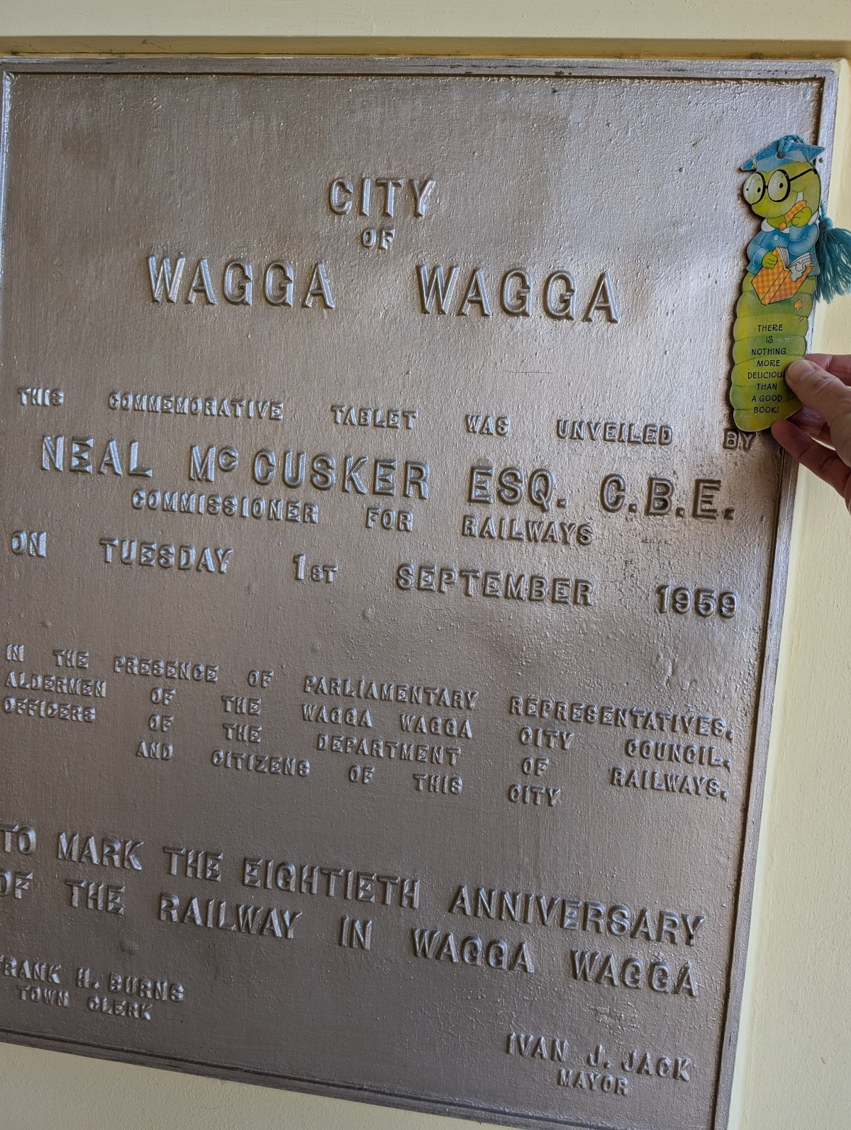
    Me at Wagga train station. This tablet was unveiled a couple of months before the TC was born (bless her woolly booties):

    We took the Old Hume Highway into Wagga. The TC was expecting Wagga to be in the middle of flat country and arid red dirt. But no, it was green!

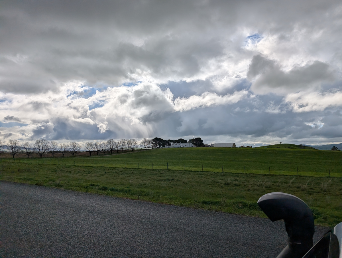
    Sunlight through clouds and a line of skeleton trees on an undulating horizon ushered us into Wagga:

    A pile driver obliged with an atmospheric rhythm as we crossed the Murrumbidgee River (there were roadworks nearby). On the other side of the river, rolling green hills spread out before us:

    On the way into the city, we stopped at Marrambidya Wetland for a walk. These gum trees were enjoying a puddle:

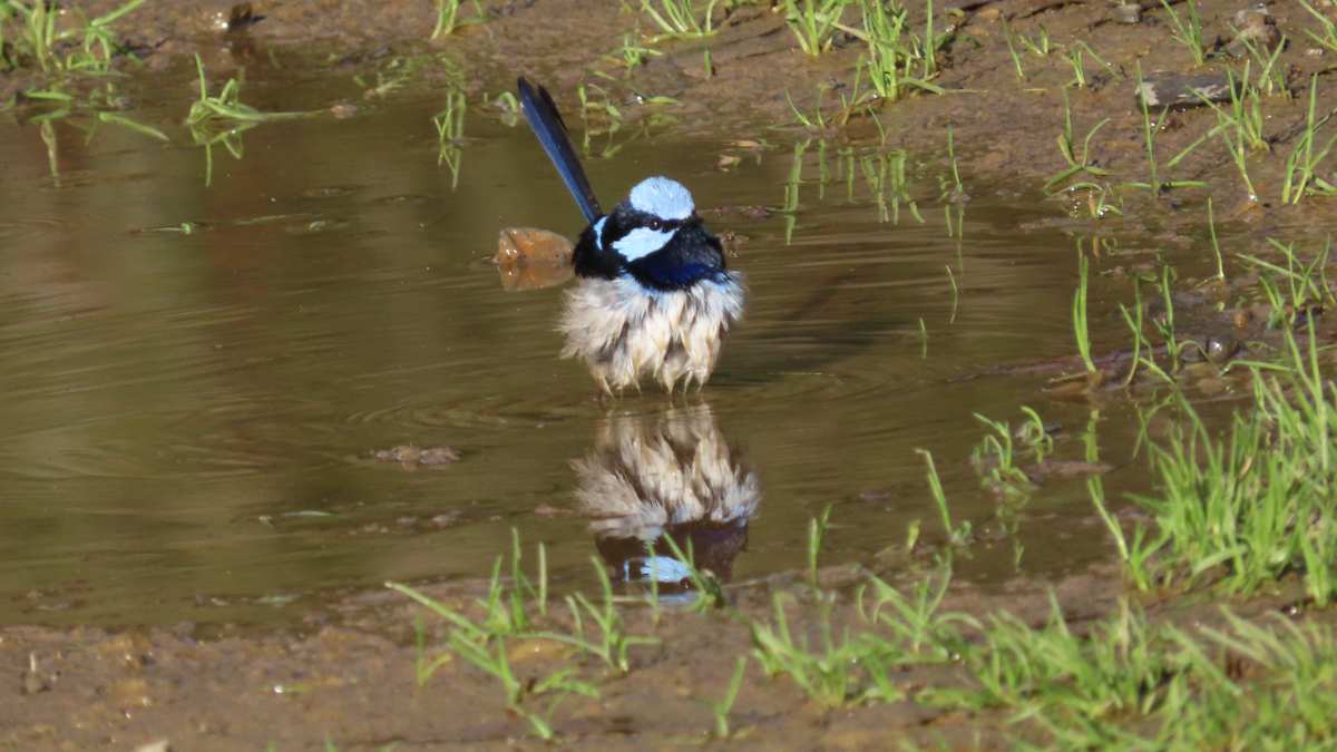
    The TC is a bit of a twitcher. Hence the next picture, of a fairy wren similarly enjoying a puddle. Bird watching is not a great pastime for a travelling companion of mine, yours truly being a worm and all. But I stay safely hidden in my book at times like these.

    Double trouble:

    Wagga itself has restful, wide streets. There’s every type of shop, supermarket, and service that you might need. A big-name road runs through the town: Sturt Highway.

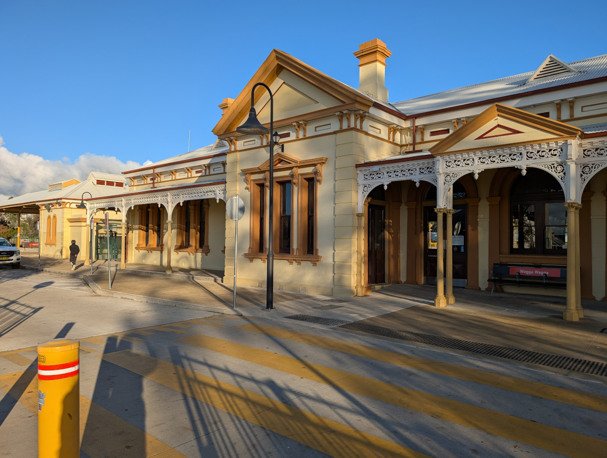
    Wagga railway station:

    Wagga Wagga Base Hospital is the largest hospital in the region, servicing the city and surrounding areas. The hospital was first founded in 1856, and has undergone several reconstructions since then, the latest being completed in 2023:

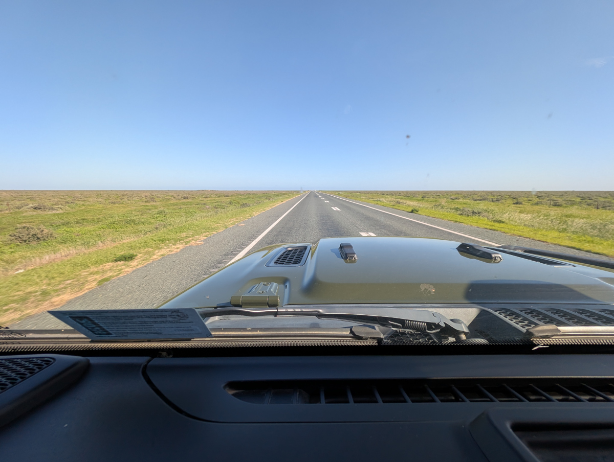
    The next picture shows Sturt Highway, four hours west of Wagga: a flat, wide horizon with the road disappearing into the distance. This is more like what I expected of the view, except that it’s all green!

    Fediverse Reactions

  • Hoedspruit predators and pretties

    In this post: Of friend and foe in Hoedspruit, South Africa. Be aware: they’re not what you might think. Unless you’re a worm like yours truly.

    This is the blog of Mark Wordsworm, the travelling worm. I’m a 40-year-old bookmark (give or take a few years) and I proudly boast my own Hallmark serial number, 95 HBM 80-1. You’ll probably want to read all about me and my Travelling Companion (the TC).

    Today’s travel notes

    Me and the TC (bless her fearless heart) have just spent a few days in Hoedspruit, South Africa. A land where the wild things roam outside your door. Where sleep comes only to those who love wildlife. Where beauty is all round, and so is the bare, sometimes ugly, necessity of nature.

    The book I’m in

    Fool Moon by Jim Butcher. A funny, heart warming, creepy tale of a lone urban wizard pitted against a bewildering variety of werewolves, hexenwolves, lycanthropes, and loups garous. This book is the second in the series dubbed the Dresden files. Well worth a read.

    Travel tips

    Don’t go out at night. Predators roam the streets. Yes, really. Expect a leopard. Watch for wild dogs. No werewolves, but Ooo those owls!

    The photos

    Me taking a walk on the wild side:

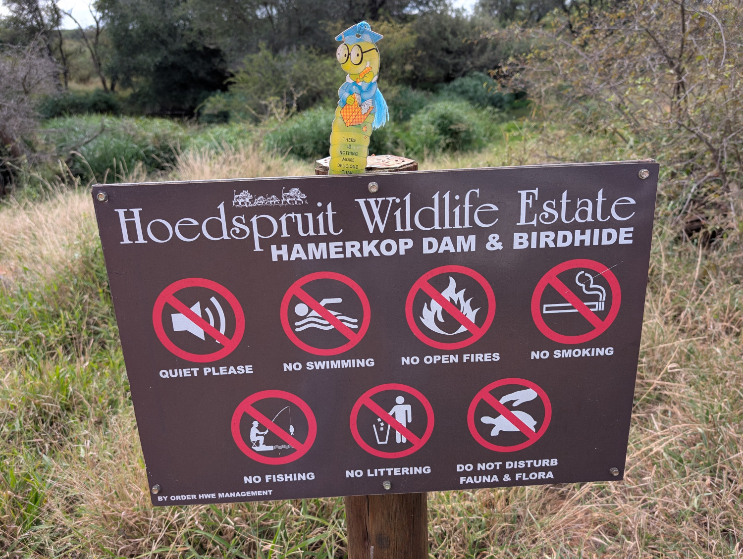
    Our accommodation lay in the Hoedspruit Wildlife Estate, where human abodes nestle among the thorn trees and wild flowers. At dusk, doors close firmly, children and dogs are hurried inside, and the wild creatures own the turf.

    Who’s the friend, who the foe?

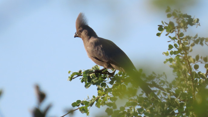
    First the foe. Birds are not my favourite things. Too much beak and claw, not good for soft small bodies like yours truly’s. Take for example this creature, fierce of eye, sharp of beak and claw:

    It’s called a Grey Go-away-bird, because of the noise it makes. The name applies equally to my sentiment when I saw this specimen. Go away, bird!

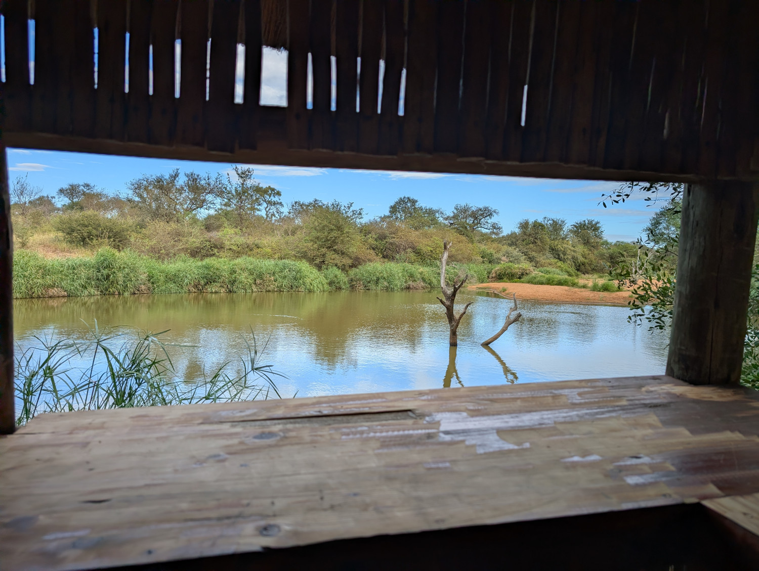
    It’s clear that the designers of the Hoedspruit Wildlife Estate share my wariness. (Birds of a feather, them and me, you might say? Rather not, thank you kindly!) The estate provides a neat little hut where you can hide from the birds. This is the serene scene from one of the windows in the bird hide:

    If you’re like the TC and fancy the odd bird or two, take a look at her blog post: Birds in Hoedspruit, South Africa.

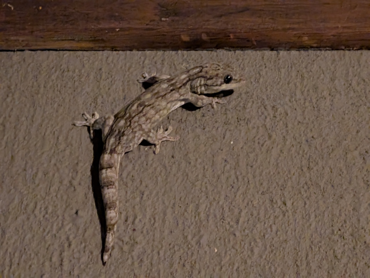
    Still on the theme of foes, this large gecko might give me a run for my money:

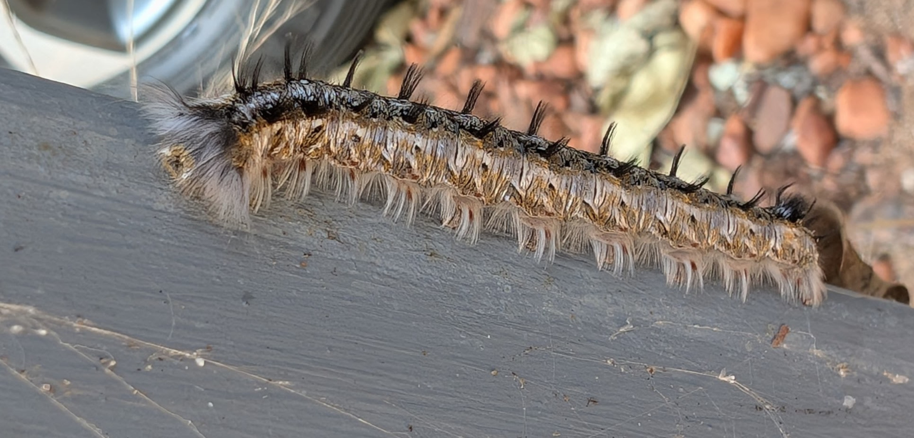
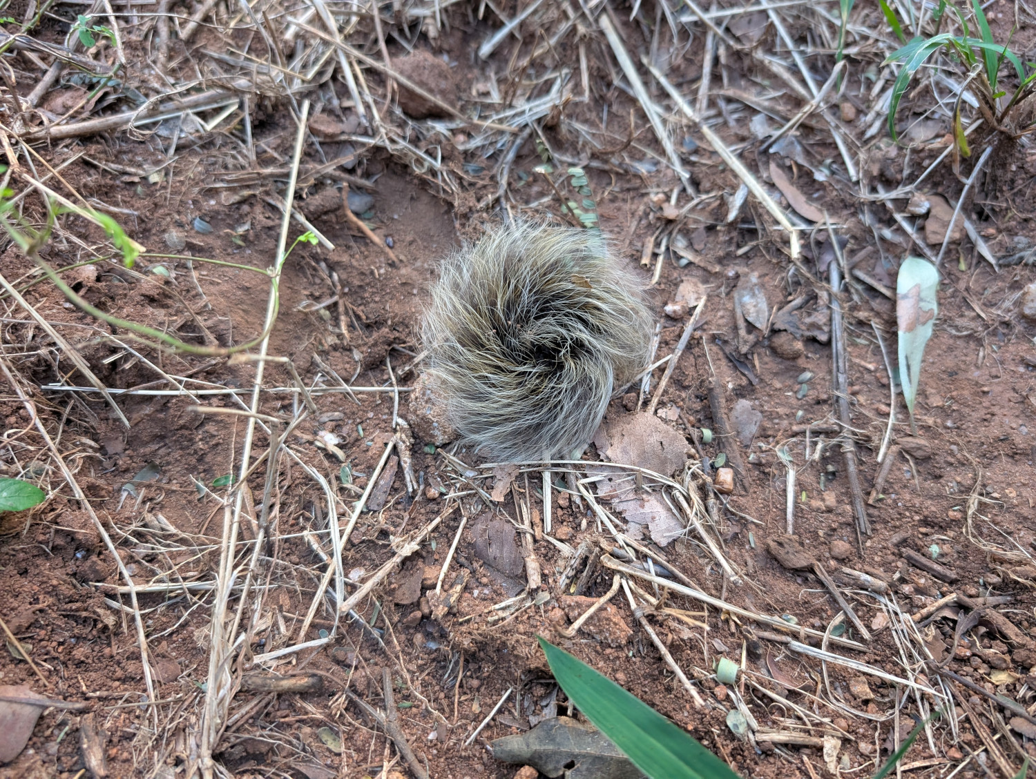
    Moving on from the foe, what about the friend? I spotted two of my kith and kin. Both have adopted a more elaborate approach to wardrobe than yours truly. Self adornment as a defence mechanism.

    First, a Lappet moth caterpillar. This little dude will shoot its hairs at anything that touches it. I’m now looking into acquiring a face shield such as this:

    My next little buddy goes to wardrobe extremes. A good defence, no doubt, against the neighbourhood pterodactyls. Meet the Inquisitive Monkey caterpillar:

    Birds aside, are there other animals around?

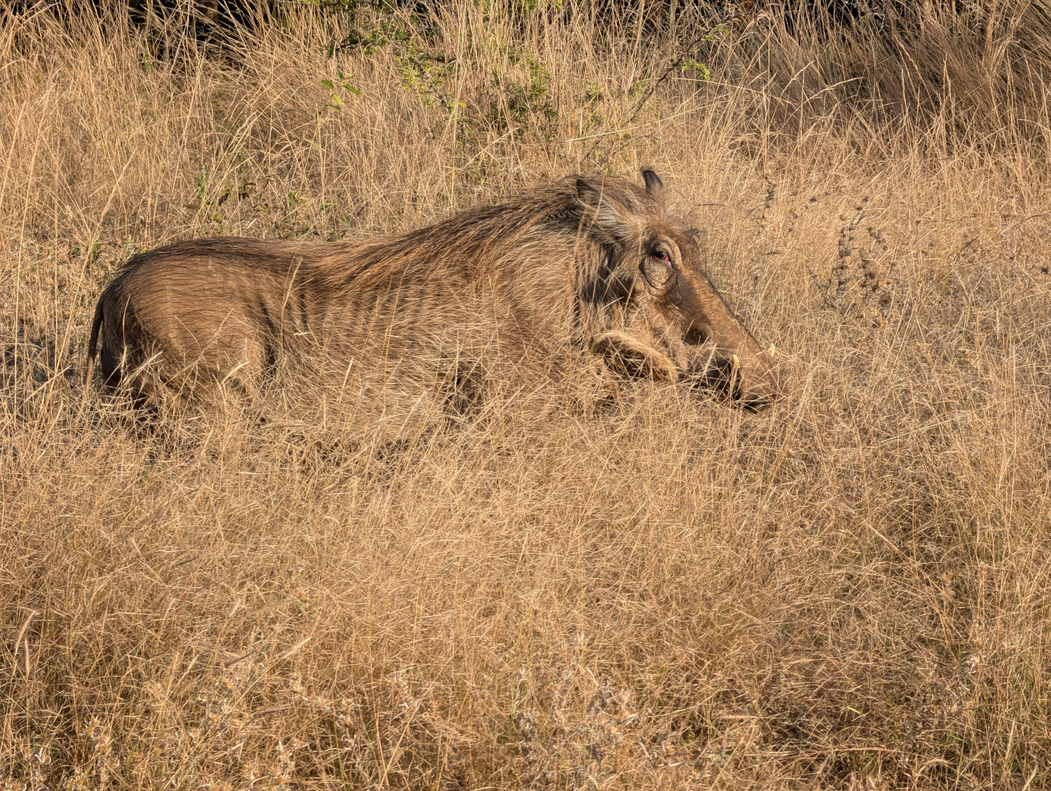
    The other inhabitants of the area are mostly friendly. Take Warty the Warthog for instance, who greeted us kindly when we arrived:

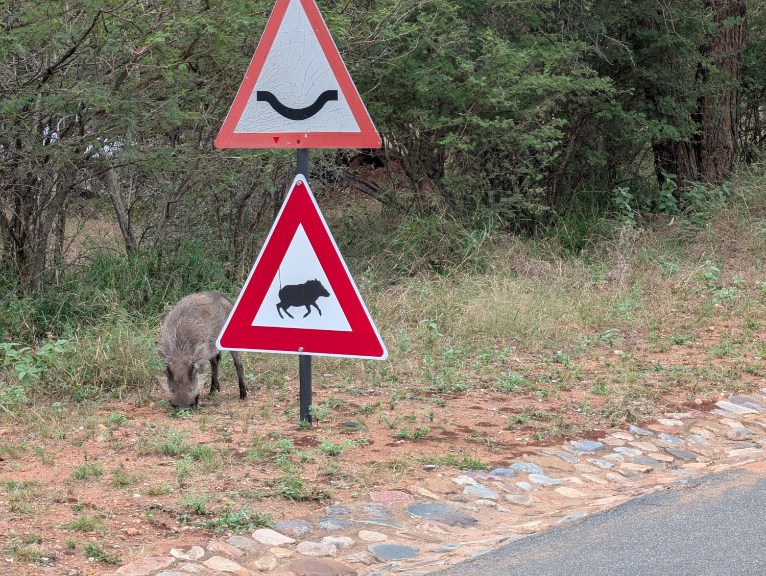
    One of Warty’s brood decided to prove a road sign correct. Useful, in the time of misinformation that we all endure:

    Later, Warty brought his family round to visit. They found our company so agreeable that they decided to spend the night under the household car. This video shows the fond farewell that the TC’s brother gave the warthog family the next morning:

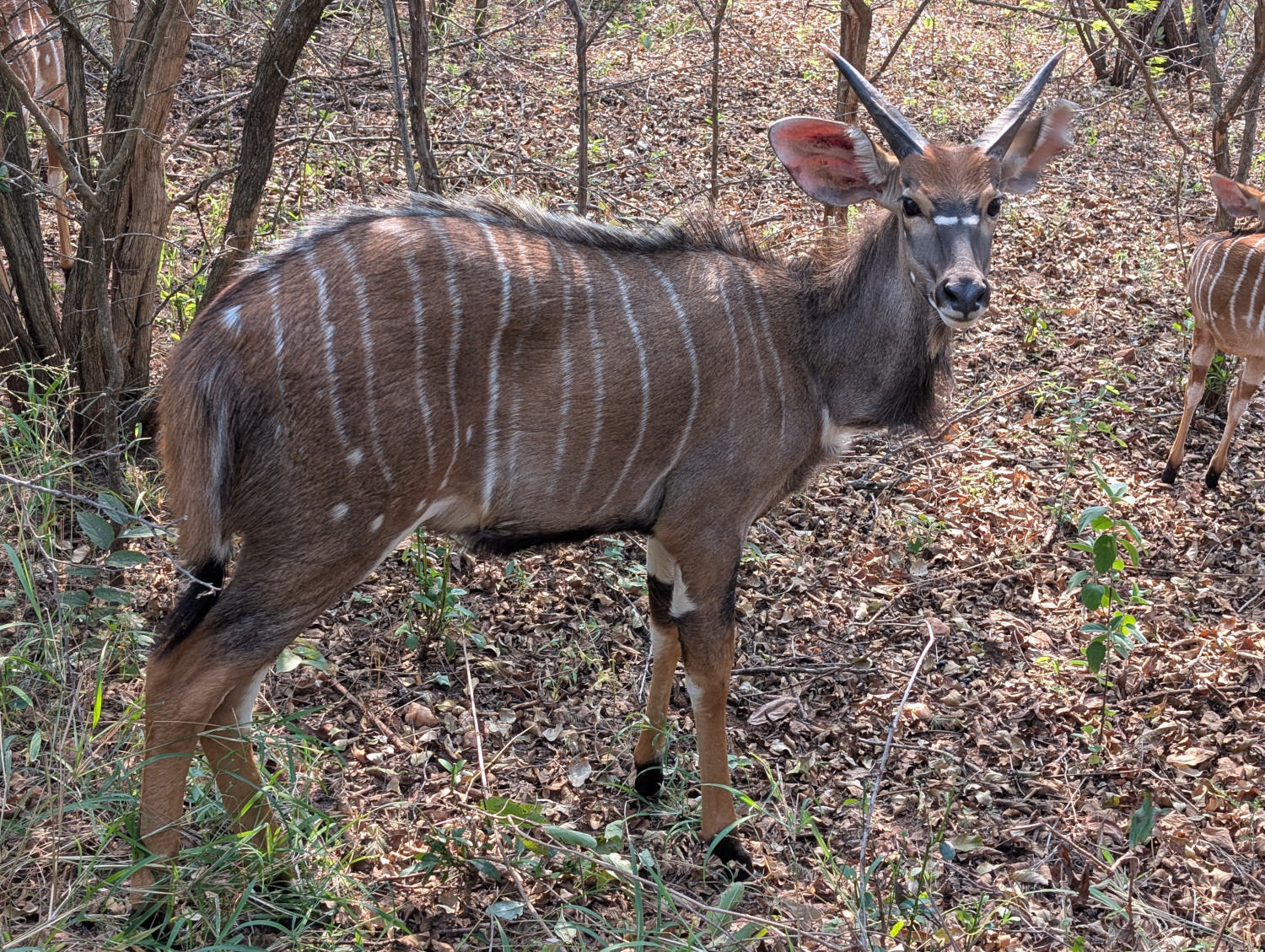
    Several types of buck peer out from among the thorns. This one is surely one of the prettiest — a spiral-horned antelope called a Nyala:

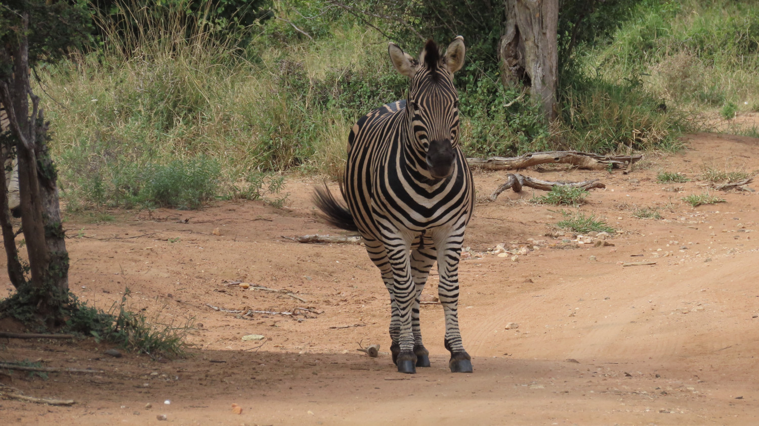
    A zebra, a symphony of stripes:

    Game drive at Khaya Ndlovu

    The TC, bless her sturdy boots, decided to take us all on a game drive. We set out for to Khaya Ndlovu on the Rietspruit Big 5 Game Reserve, a private reserve close to the Kruger National Park. The name “Khaya Ndlovu” means “home of the elephants”.

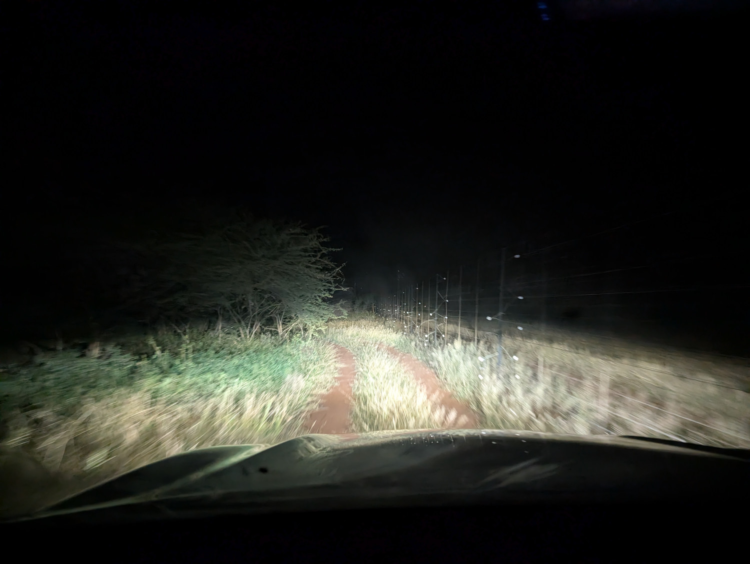
    Predictably perhaps, we took a wrong turn and ended up on a dirt road running alongside the outside fence of the reserve. It was early in the morning, because evidently the early worm catches the game.

    Trouble is, it’s unwise to get out of the vehicle in the dark, because, remember, predators are about! We couldn’t turn around without having someone outside to guide the driver. Instead, we bashed on.

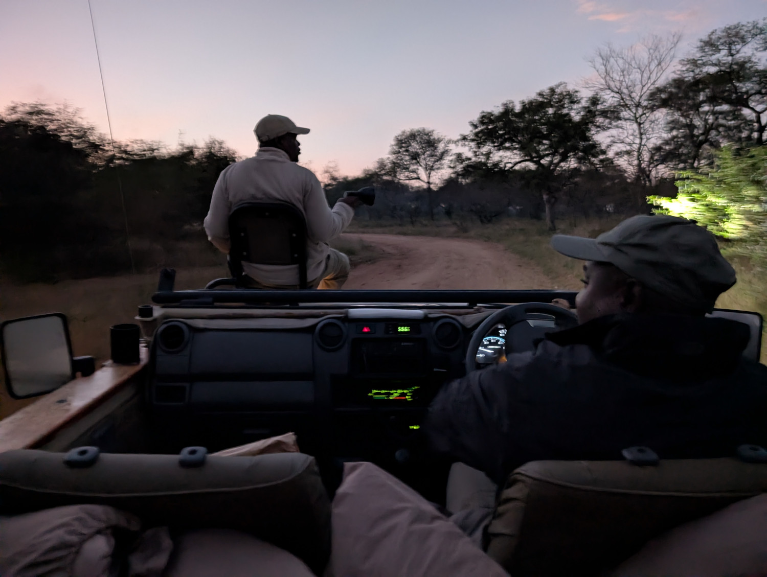
    After a hoary few minutes, we arrived at the Khaya Ndlovu guest lodge. Hot coffee was on offer to fortify the nerves, then we set out in an open game vehicle just as dawn was breaking:

    The drive was an experience to remember. The TC was in her element, jolting along dirt roads, some of them with nicely (her word, not mine) washed out ruts, and a few river crossings for good measure.

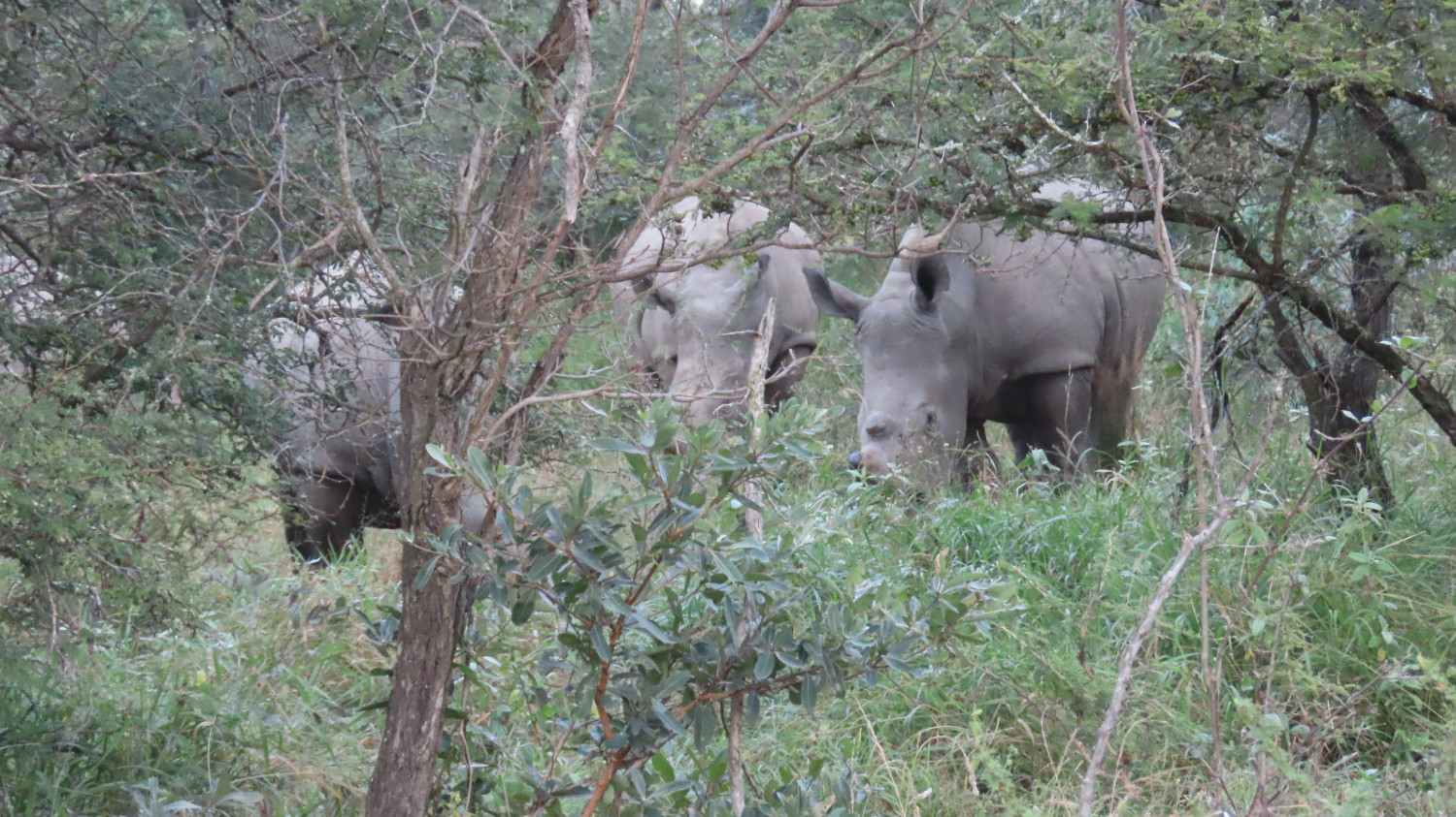
    Rhinos nestled up to the vehicle, unaware that we were there until they bumped their noses on the truck:

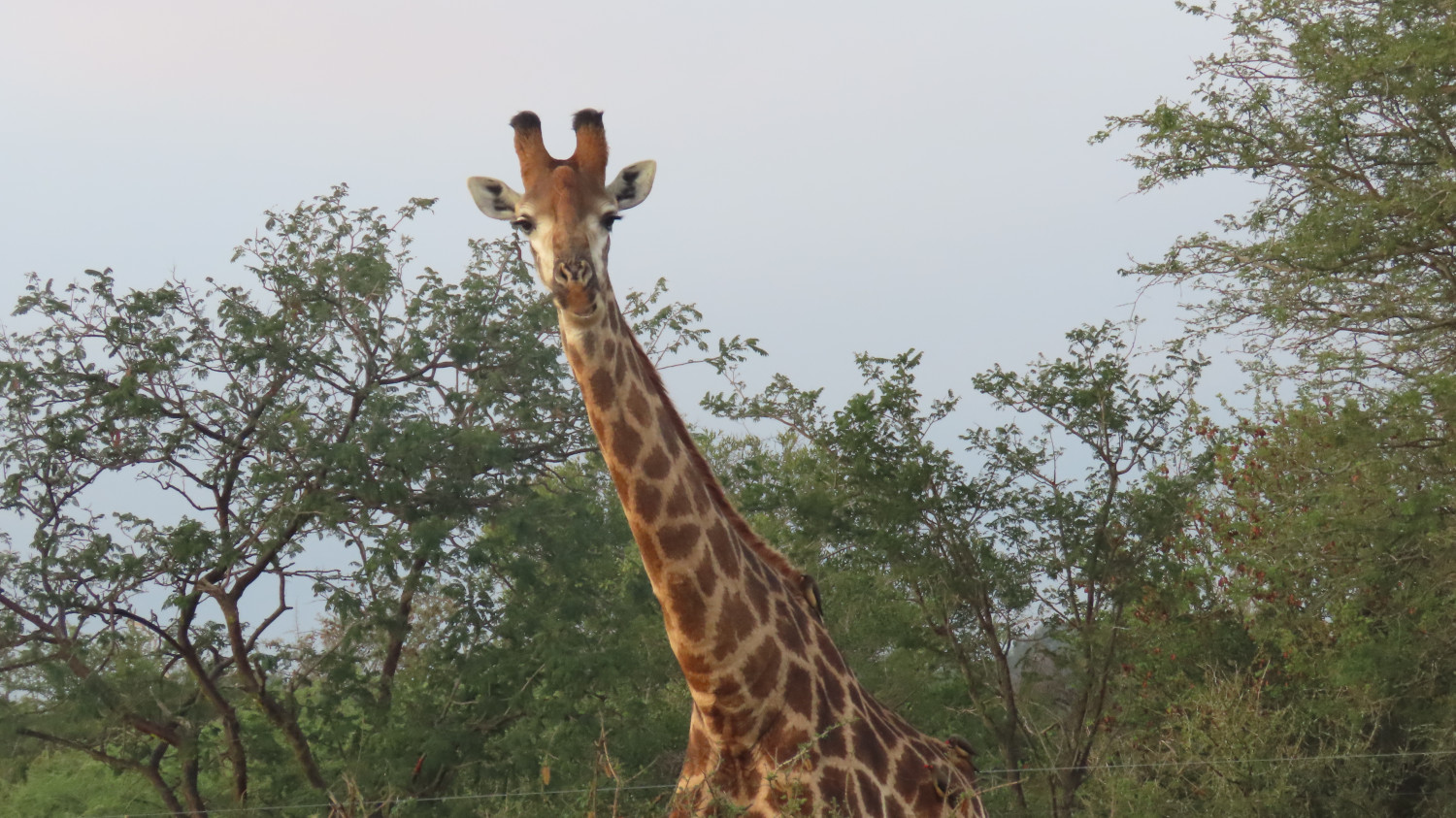
    Giraffes loomed with wary disdain:

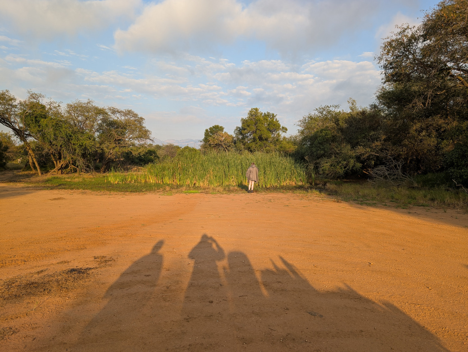
    We stopped for a break at a waterhole. The person in the distance is wearing a warm jacket provided by the game drive hosts:

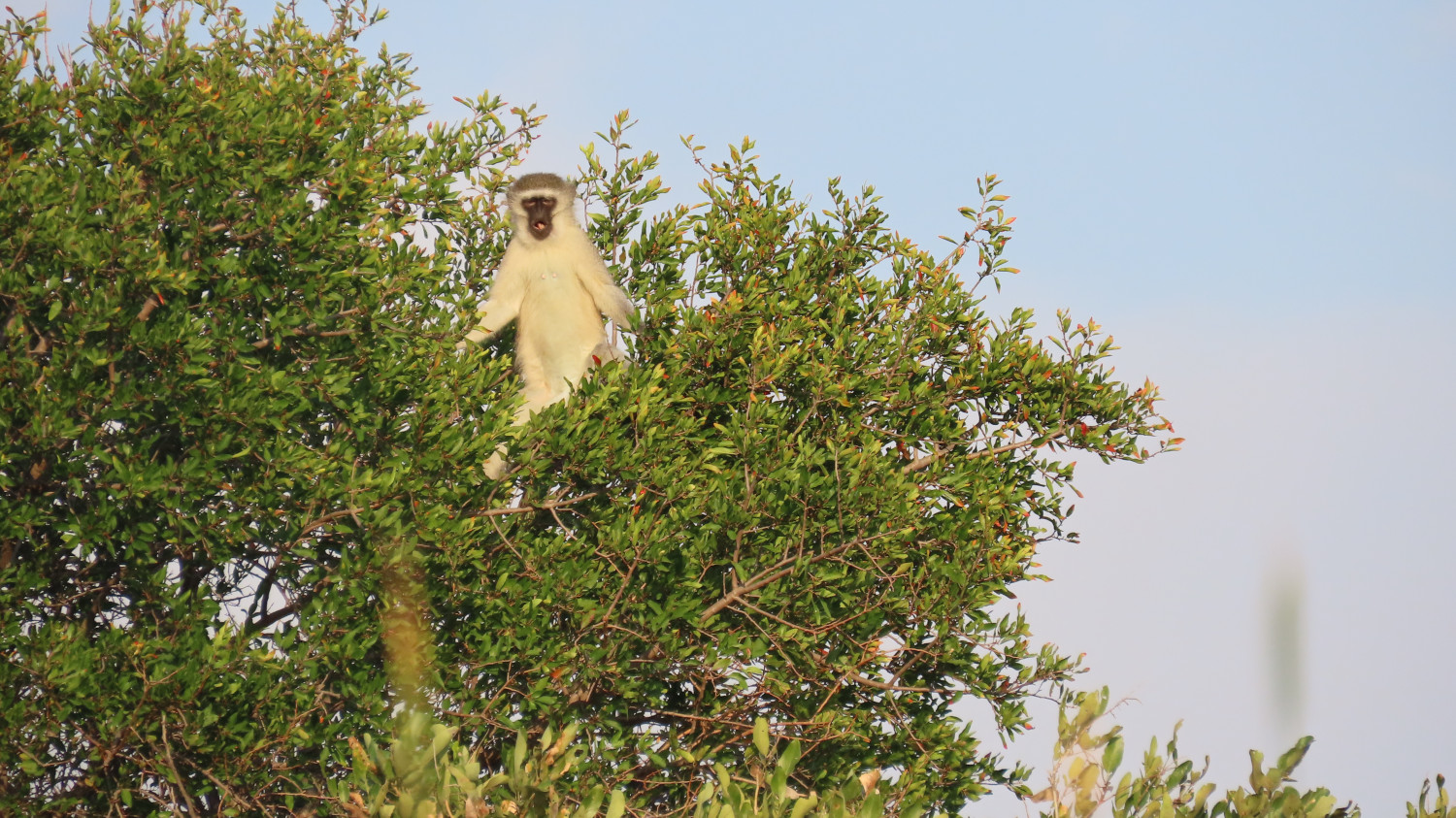
    Vervet monkeys looked on:

    The last word is from a bird

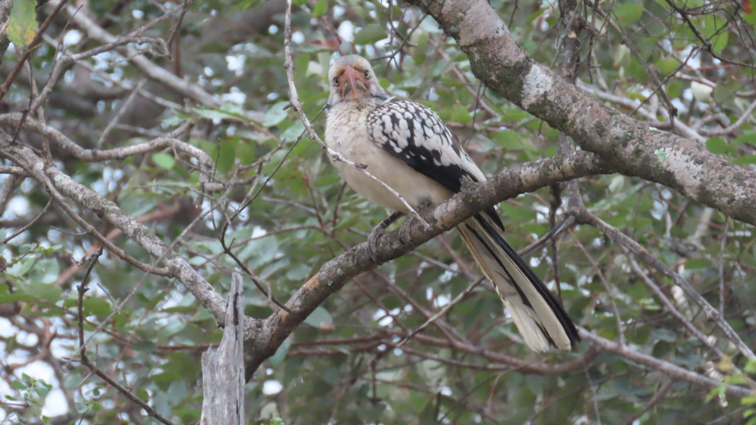
    “Really? You need a photo at this time of day? Just go away, do!”

    Fediverse Reactions

  • Dobroyd Head walk in Sydney Harbour

    In this post: The scenic track from Balgowlah to Dobroyd Head, part of the Spit Bridge to Manly Walk.

    This is the blog of Mark Wordsworm, the travelling worm. I’m a 40-year-old bookmark (give or take a few years) and I proudly boast my own Hallmark serial number, 95 HBM 80-1. You’ll probably want to read all about me and my Travelling Companion (the TC).

    Today’s travel notes

    Me and the TC (bless her cotton socks) have often ambled down Forty Baskets Track in Balgowlah, braving the beach crossing to continue along Reef Beach Track and up the steep steps of Dobroyd Head Track. At the top of the head, near Tania Park, we do an about turn and take the welcome downhill track back to Balgowlah. This post shares some of the beauty of the area and a few bits of local interest.

    The book I’m in

    Shadow Captain by Alastair Reynolds. I’m chomping through this book at the speed of light. It’s a fast-paced space opera in the best tradition of the genre. Shadow Captain follows on directly from part one of the series, Revenger. This worm will be urging the TC to get hold of the next book in the series.

    Travel tips

    Put on your walking shoes (all six of them, in my case) and take a walk on the bright side.

    The photos

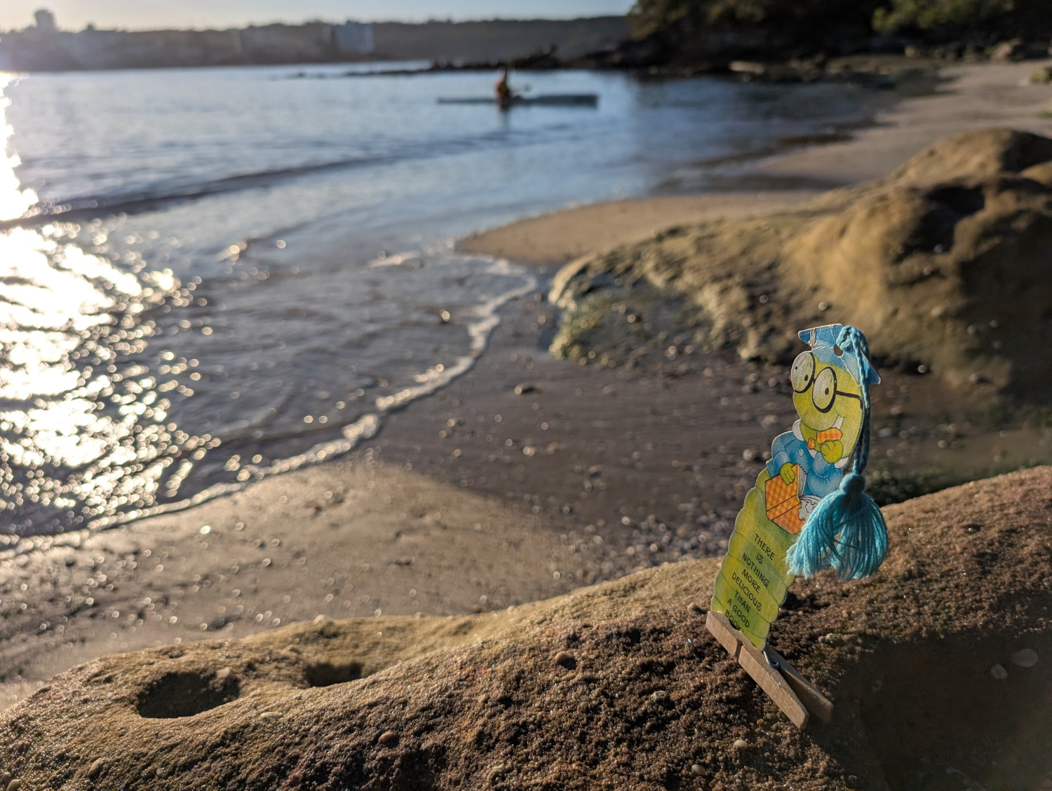
    Me and Peg finding a firm footing at Reef Beach, alongside the Dobroyd Head walking track on the shores of Sydney Harbour:

    Like many of Sydney’s beaches, Reef Beach is often reshaped by the tides. The sand moves from one end of the beach to the other, covering and uncovering rocks, exposing channels, and generally changing the area’s appearance. Sometimes it’s quite a leap from the last step down onto the sand. At other times you scratch your head and think, “I could have sworn there were more steps going down to the beach”.

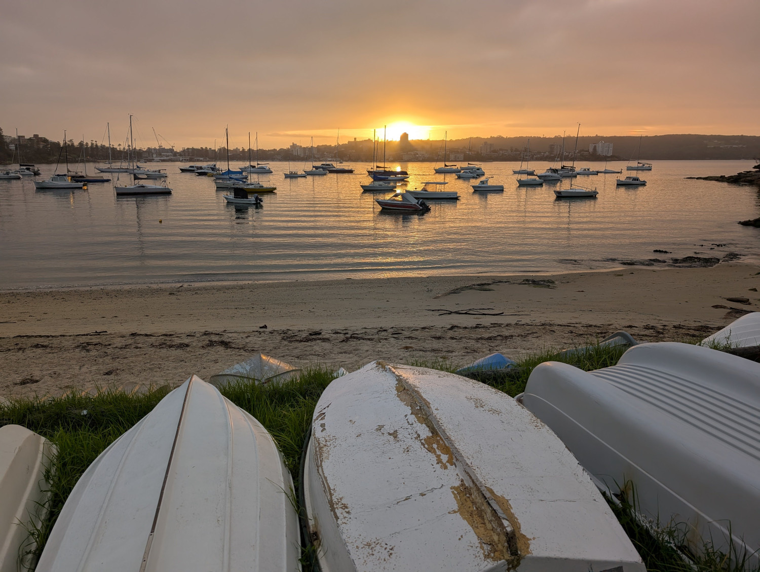
    If the TC gets up early, as is her wont, we catch the sunrise over Forty Baskets Beach:

    “Forty Baskets” is an odd name for a beach. The tale that this worm has heard most often is this: the name refers to 40 baskets of fish that the local fishermen collected way back in 1885. Their goal was to feed a large group of soldiers who’d returned from war in Sudan, only to be hustled into the nearby quarantine station to recover from various infectious diseases that they’d acquired while overseas.

    However, that lovely tale of baskets, fish, and deserving troopers might not be true. The Daily Telegraph has conducted some in-depth research and discovered that the beach was referred to as Forty Basket Beach even before the fishermen’s generous collection. And yes, observant reader, it was Forty Basket (singular) not Forty Baskets. After further digging, the Daily Telegraph finds that the word “basket” was in those days used as a measurement (like the word bushel). We often use the singular when referring to a measurement. For example, a two metre pole or a ten tonne truck. The article is worth a read.

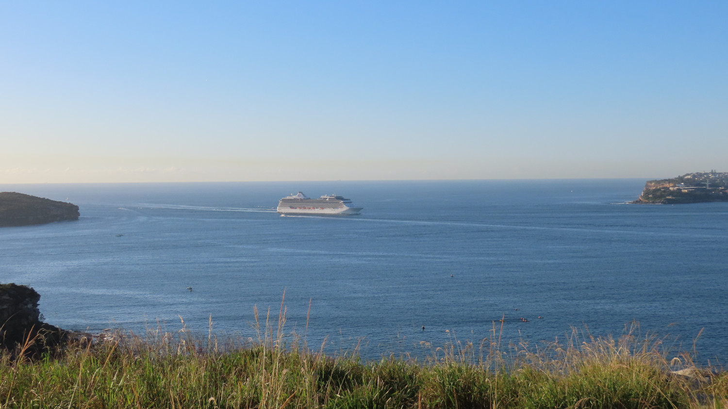
    The harbour views on this walk are spectacular. This photo shows a passenger liner making its way into Sydney harbour through the gateway formed by North Head (on the left) and South Head (on the right):

    Let’s take a closer look at the passenger ship. Behind it stands Hornby Lighthouse on South Head. The lighthouse opened in 1858, the third lighthouse to be built in New South Wales. A few of the ship’s inhabitants group together in the viewing platform on top of the ship’s tiers to experience the harbour entry:

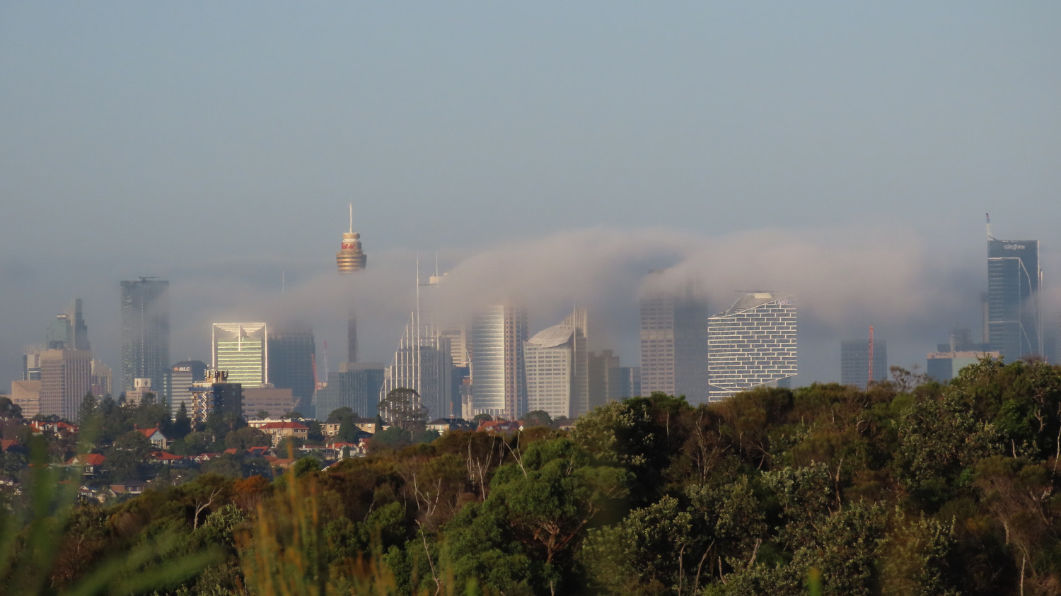
    Sydney city seen from Dobroyd Head, with the sun burning off the early morning mist:

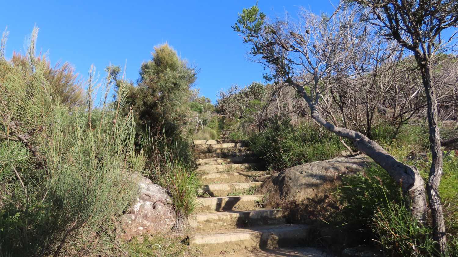
    The path is steep at times. Irregular steps provide good exercise for those quads and calves — for those of you with fewer than six legs, anyway:

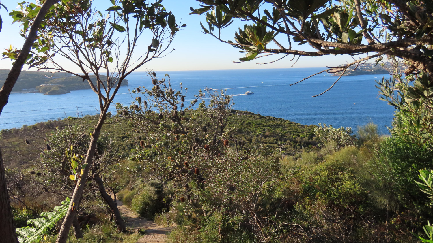
    If you need a breather, turn around and take in the view. You might see the Manly ferries passing as they make their way between Manly and the city. The two in this picture are the privately-run Manly Fast Ferries (as opposed to the slightly slower and more traditional yellow and green boats of the Manly Ferry public service):

    After the steep climb, a more leisurely path awaits you, sometimes open to the views and at other times walled by bushes and flowers:

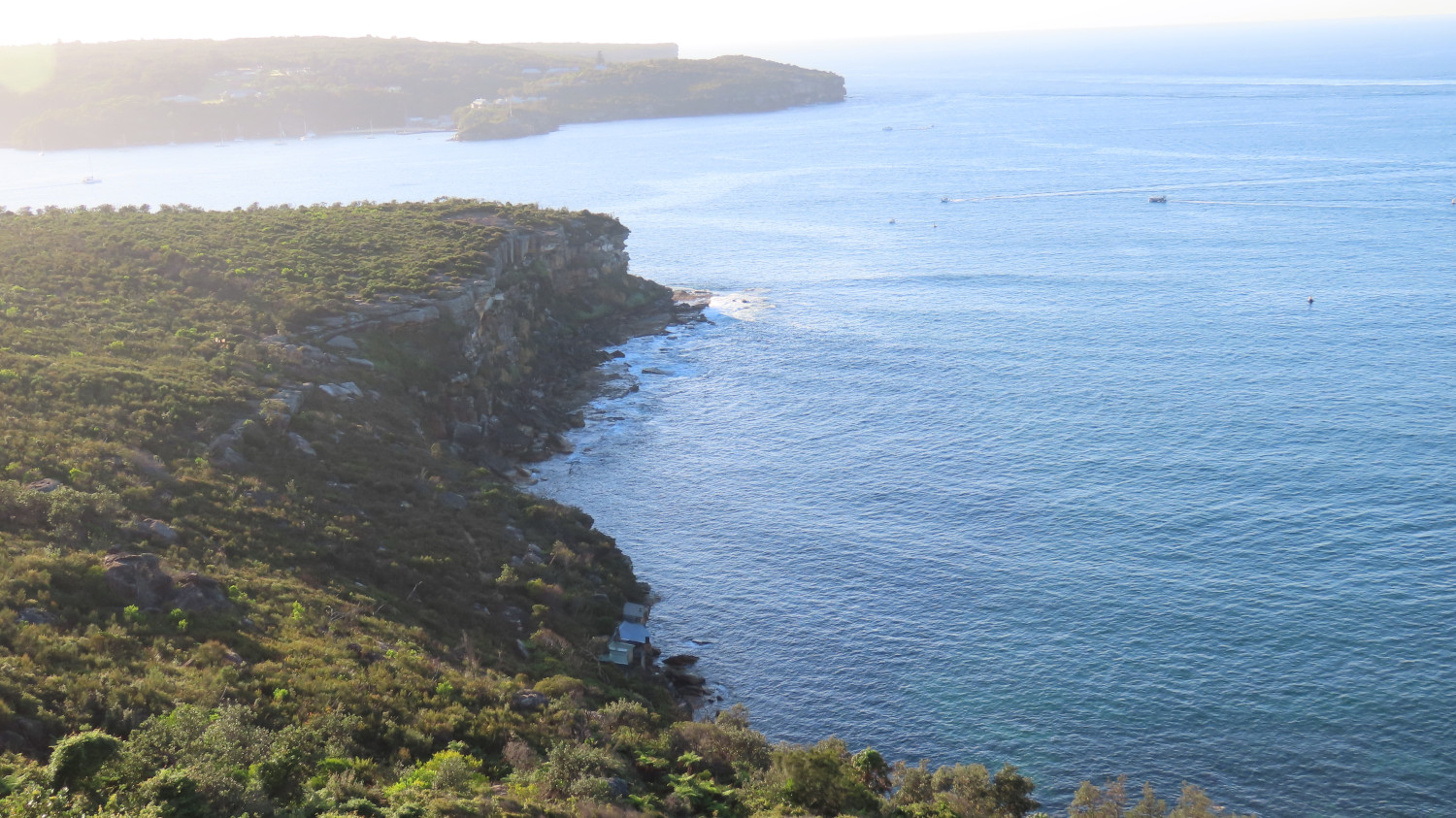
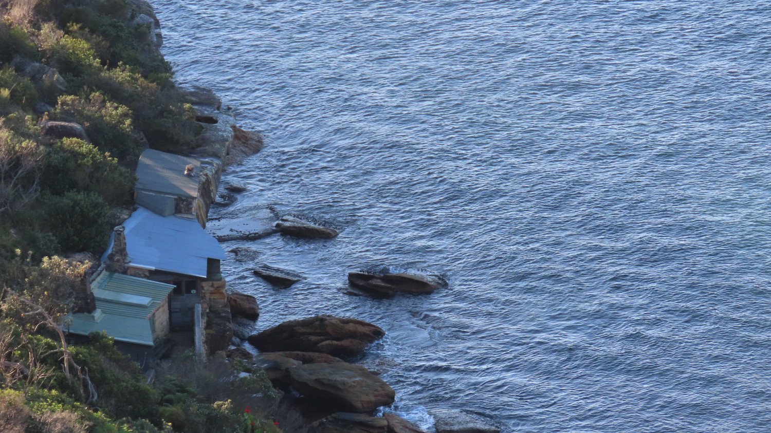
    The viewing point just below Tania Park offers another stunning view of the harbour entrance. In the next picture, just North Head is showing in the background, with Dobroyd Head stretching out in the foreground. Down below, those with an eagle eye can spot the historic huts of Crater Cove:

    Let’s take a closer look at some of the huts of Crater Cove:

    Russ Grayson has published an intriguing account of his experiences with the huts over the years: Hidden paths: the lost settlement at Crater Cove. The first of the huts were built in the 1920s, and various groups of people have inhabited them over the decades. Now, however, the huts are boarded up. You can walk down and look through the windows, and stand on the rocks to gain a feeling for the place. The path down is somewhat hard to find, and the track disappears in places. But it’s well worth the scramble.

    This worm won’t go into the ins and outs of the huts’ story. Russ Grayson does that very well. Suffice it to say that the cottages have a long and interesting history.

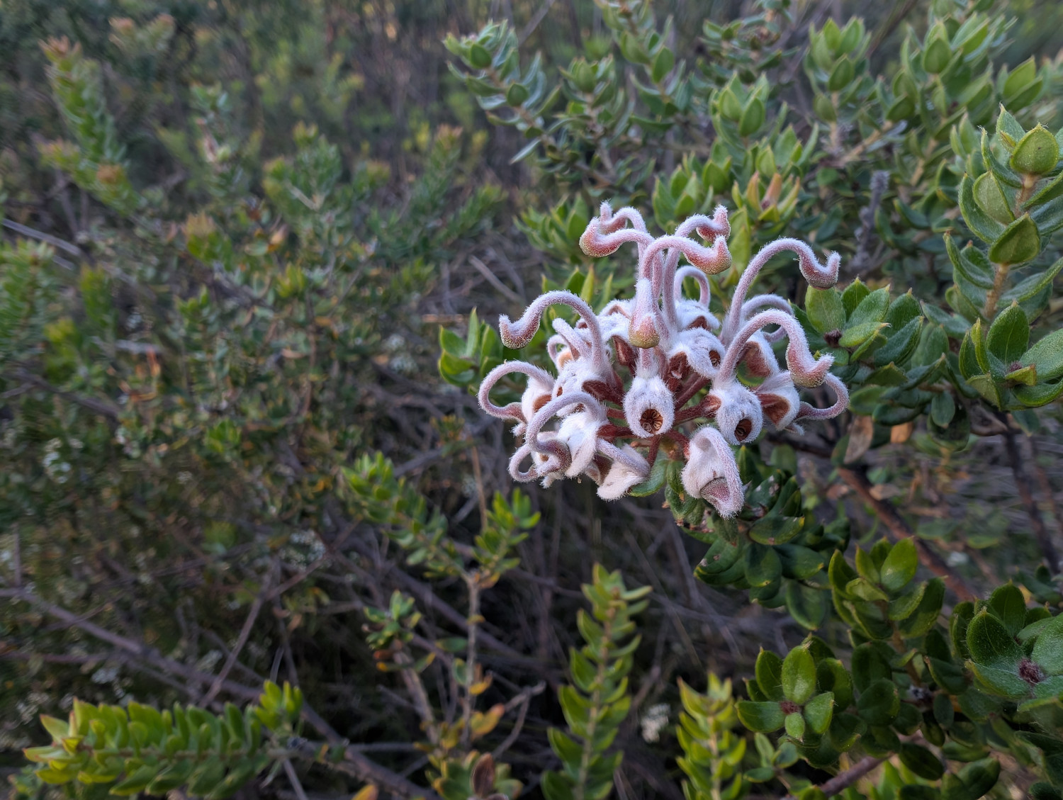
    What else will you see on the Dobroyd Head Walk? Plenty of native vegetation, including this Grey Spider Flower (Grevillea buxifolia). This worm doesn’t see the spider reference. Rather, the flower looks to me like a cluster of tentacled aliens who’ve landed on Earth and are screaming in horror:

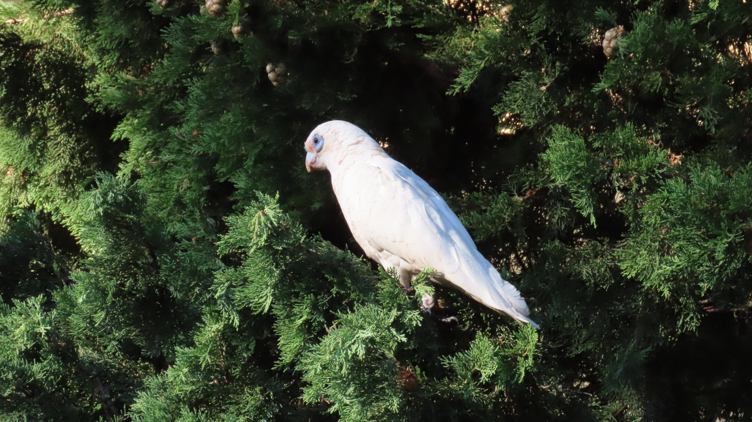
    There’s a plethora of birds, like this Corella:

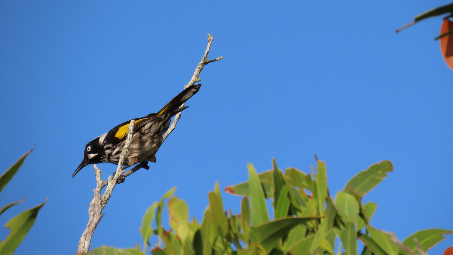
    And this New Holland Honeyeater:

    The TC, bless her clever grey cells, knows a lot about birds. Hence yours truly’s ability to name our feathered acquaintances so precisely. It goes without saying that yours truly stays well hidden during the bird-watching part of the expedition. Well away from all those scary beaks!

    For the brave souls amongst you: If you’d like to see more of the birds of this area, take a look at the TC’s blog, Sydney Birder. In particular, check out her posts about the birds she’s spotted at Forty Baskets and Dobroyd Head.

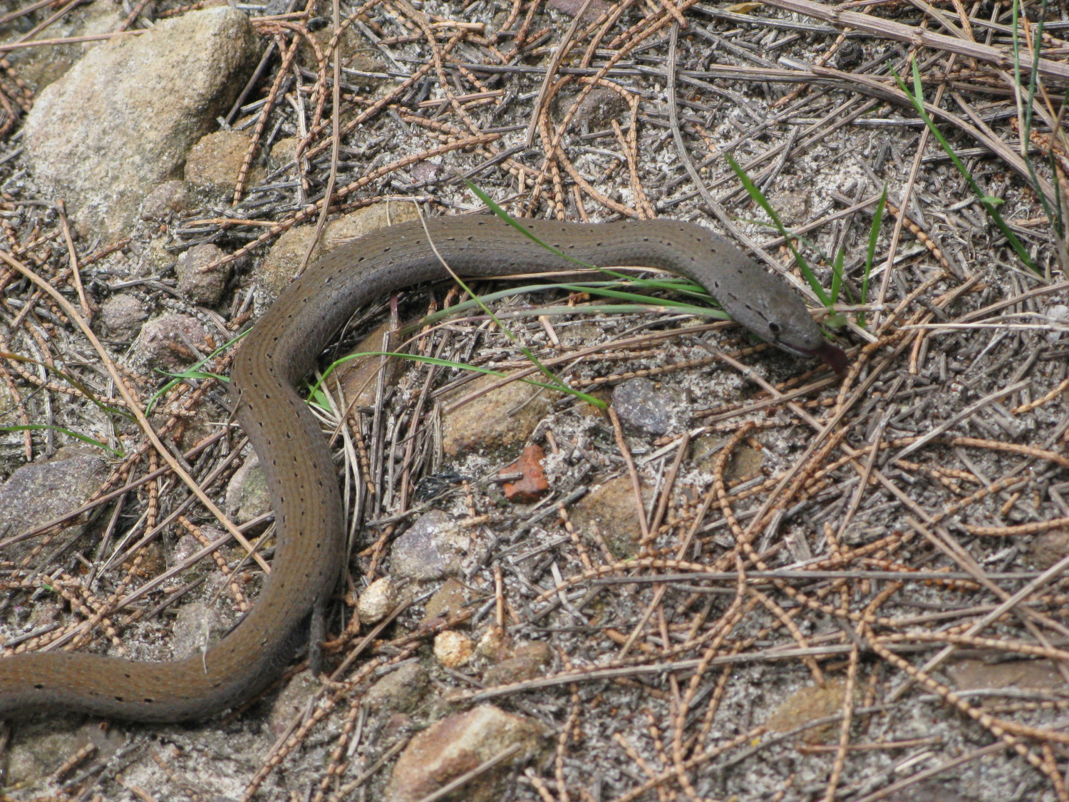
    Lizzie the Legless Lizard is much more my kind of person. We met her quite a few years back on Dobroyd Head. Although you might be tempted to yell snake, you’d be wrong. At some stage in the distant past, her kith and kin decided that legs were overrated. A close look reveals the stubs of legs that she’s left with:

    The lucky walker will also see wallabies, water dragons, butterflies and beetles, the occasional falcon, parrots and many many more birds, and perhaps even a snake or two.

    Have a good walk!

    Fediverse Reactions

  • Bombo Headland Geological Site

    In this post: The crashing seas and imposing rock columns at Bombo Headland Geological Site, south of Sydney on Australia’s east coast

    This is the blog of Mark Wordsworm, the travelling worm. I’m a 40-year-old bookmark (give or take a few years) and I proudly boast my own Hallmark serial number, 95 HBM 80-1. You’ll probably want to read all about me and my Travelling Companion (the TC).

    Today’s travel notes

    This worm has crawled past Bombo Headland several times, on past journeys heading south out of Sydney. Never before have I stopped to see what goes on in the area. A few days ago, me and the TC detoured off the beaten track (namely, the M1) to spend a couple of nights in Wollongong. During our stay, we took the small coastal roads down to Kiama, and on the way we stopped to see the headland.

    The book I’m in

    The Between by Tananarive Due. The TC has only recently discovered this amazing author. Already, we’re more than half way into our second book of hers, and the TC has bought four more. Count ’em, four! Tananarive Due writes beautifully-composed horror. Get into one of her books as soon as you can.

    Travel tips

    Take a detour from the highways whenever time allows.

    The photos

    Me at Bombo Beach:

    A short walk from the beach, the waves churn and crash between the rock formations at Bombo Headland Geological Site:

    A still photo of the same spot captures the watery turmoil:

    The tall, squared-off columns of rock are imposing. The rocky ground beneath the rocks is quite bare, and glares in the hard sunlight. Combined with the churning seas, the effect is a little threatening. Definitely eery.

    The columns are made of basalt and have a distinctive hexagonal shape, formed during volcanic eruptions 270 million years ago. Basalt is a hard igneous rock that’s produced when lava cools rapidly.

    If you walk around behind the rock towers, the scene is more tranquil. A shallow pool lies quiet in the sunlight:

    The occasional wave bounces high enough to breach the gap in the rocks and refresh the pool:

    The TC, bless her slightly wet cotton socks, posed in front of another gap. She waited patiently for that Internet-favourite shot with the waves crashing behind her:

    Here’s the same Internet-famous spot, without the TC this time:

    Fediverse Reactions

  • Huts of the Victorian High Country

    In this post: Join me on a crawl around the mountain huts of the Victorian High Country in Australia.

    This is the blog of Mark Wordsworm, the travelling worm. I’m a 40-year-old bookmark (give or take a few years) and I proudly boast my own Hallmark serial number, 95 HBM 80-1. You’ll probably want to read all about me and my Travelling Companion (the TC).

    Today’s travel notes

    In our recent travels around the Victorian High Country, me and the TC visited several of the area’s well-known mountain huts. The huts vary from a basic four-walls-and-a-roof structure to quite a solid affair with furnishings. Most of them were built to offer shelter to walkers, cattle folk, and others who might be caught out by the unpredictable weather of the highlands. Some are named for the families who lived in them, like Lovick’s Hut.

    I’ve written a separate blog post about the most famous hut of all: Craig’s Hut, from the movie, The Man from Snowy River.

    The book I’m in

    The Phenomenon of Man by Pierre Teilhard de Chardin. I’m chewing my way through this momentous work, savouring it a piece at a time.

    Travel tips

    If at first you don’t spot the dunny (that’s Australian for toilet), take a walk and look again. Most campgrounds and picnic areas have a long-drop.

    From the sublime to the ridiculous… a dunny on the Paradise Falls track:

    Recommended accommodation

    Camping is the best option for a trip around the Victorian High Country. It’s hard to predict where you’ll find yourself at the end of each day. Most likely, you won’t be anywhere near a hotel.

    Luckily, the campgrounds are well laid out and most have a toilet, albeit a long-drop. Here are the campgrounds we stayed at.

    Seven (count ‘em: 7) days camping in a row. That’s a record for yours truly:

    • Day 1 (18 February): The campground near Craig’s Hut. Elevation 1,450 metres. It was cold, even in the middle of the Australian summer. This worm recommends a thick book to cuddle up in.
    • Day 2 (19 February): A camping site on Mount Howitt. Elevation 1,600 metres. It was even colder that night, due to some wind and an early morning mist. The TC, bless her thick cotton socks, wore leggings, gloves, two T shirts, two soft jackets, and a large Dutch jacket, and huddled down into her sleeping bag.
    • Day 3 (20 February): Eaglevale campground near Dargo. Those who aren’t made of cardboard had a refreshing dip in the Wonangatta river.
    • Day 4 (21 February): Black Snake Creek campground, again on the banks of the Wonangatta River. The non-cardboard folks took another swim in the river.
    • Day 5 (22 February): Castleburn Creek campground on Dargo Road.
    • Day 6 (23 February): Hinnomunjie Bridge campground, on the far side of Omeo.
    • Day 7 (24 February): Taylor’s Crossing in the Nunniong area. The TC, bless her cotton socks, spotted her first Gang-gang Cockatoos here.

    What about food? What about the pretty berries?

    This worm recommends that you bring all your supplies when travelling the lesser-known roads of the high country. People in the know can snack off bush tucker, but beware: don’t eat anything unless you’re sure it’s good for humans. Some of our party were keen to try these Dianella berries. But not all Dianellas are edible!

    The photos

    Me at the Washington Winch on Nunniong Road near Moscow Villa Hut:

    Yours truly is nicely in focus. That’s how I like it.

    Ah, you want to know about the winch too?

    The Washington Winch was powered by steam, and built in Seattle, USA, to haul timber up steep slopes.

    Here’s the winch hook, which hangs above the track a few metres from the engine:

    And now, on to those huts.

    Craig’s Hut

    If you’ve seen the movie, The Man from Snowy River, then you’ve had your breath taken away by the beauty of the mountain views from Craig’s Hut. Canny readers will spot yours truly on the window sill of the hut in the above photo. To find your breath again, read my separate blog post about Craig’s Hut and The Man from Snowy River.

    Bindaree Hut

    Pikes Flat Hut

    Pike’s Flat Hut was one of the more dilapidated structures. It had horse feed inside, and thistles (an introduced weed in Australia) outside.

    Bluff Hut

    We stopped at Bluff Hut for lunch and a stroll. The hut was quite substantial, a place I could imagine myself sheltering in if the weather got bad.

    Lovick’s Hut

    Lovick’s Hut is another substantial, liveable structure.

    Howitt Plains Hut

    Wonangatta Hut near Bryce’s station

    This hut had an attractive, sturdy sleeping platform.

    Black Snake Creek Hut

    This hut and the nearby camping area are on the banks of the Wonangatta River.

    Moscow Villa Hut

    Fediverse Reactions

  • Craig’s Hut, The Man from Snowy River

    In this post: Craig’s Hut in Mount Buller — the hut was first built as a temporary set for the movie, The Man from Snowy River, and is now a serene place to visit in the Victorian High Country.

    This is the blog of Mark Wordsworm, the travelling worm. I’m a 40-year-old bookmark (give or take a few years) and I proudly boast my own Hallmark serial number, 95 HBM 80-1. You’ll probably want to read all about me and my Travelling Companion (the TC).

    Today’s travel notes

    Craig’s Hut is one of several mountain huts that you can visit when touring the Victorian High Country, Australia. The huts are all different, some basic and some quite solid and well established. Most of them were built to offer shelter to walkers, cattle folk, and others who might be caught in the sometimes wild weather of the highlands. Some of the huts are named for the families who lived in them, like Lovick’s Hut and Fry’s Hut.

    Perhaps the most famous of them all is Craig’s Hut, named after a character in the movie, The Man from Snowy River.

    The book I’m in

    Survive to Fight, by Billy Billingham. This worm is taking refuge in a good action from time to time, while also chewing my way through The Phenomenon of Man by Pierre Teilhard de Chardin.

    Travel tips

    You need a good thick book to protect you from the elements. It was cold in the high country, even in the middle of an Australian summer.

    The photos

    Me, the Worm from Snowy River, at dawn on the window sill of Craig’s Hut:

    The hut was first built in 1981 for the movie, The Man from Snowy River, which was released in 1982. The movie is an Australian classic, based on a poem by Banjo Patterson. The poem, in turn, is based on the experiences of a real-life stockman named Jack Riley, with inspiration drawn from other mountain stockmen too. The hut was named for Jim Craig, the fictional main character of the movie.

    As a temporary replica of a cattleman’s shelter created specifically for the movie, the first version of the hut wasn’t built to last. But it became a popular destination in the Victorian High Country trails. When the structure started to fall apart, it was rebuilt by volunteers at the initiative of the four-wheel driving community: the Mansfield Alpine 4WD Club. The new version of the hut was re-opened to the public in 1993.

    In 1996, a bush fire destroyed the second version of the hut, and it was rebuilt by the local council and environmental organisations.

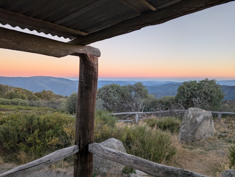
    The hut stands high on a hill top in Clear Hills, in the Mount Buller region, overlooking the Alpine Ranges. The views are pretty decent. Hues and accents change throughout the day. Sunset and sunrise are especially gorgeous. This picture was taken from the veranda of the hut at dawn:

    Inside Craig’s Hut:

    Our route

    Take note that the roads are closed for part of the year, due to snow and ice. You can’t get there by vehicle between June and November. The exact dates vary, depending on the weather. Before setting out, check the Parks Victoria web site for seasonal road closures.

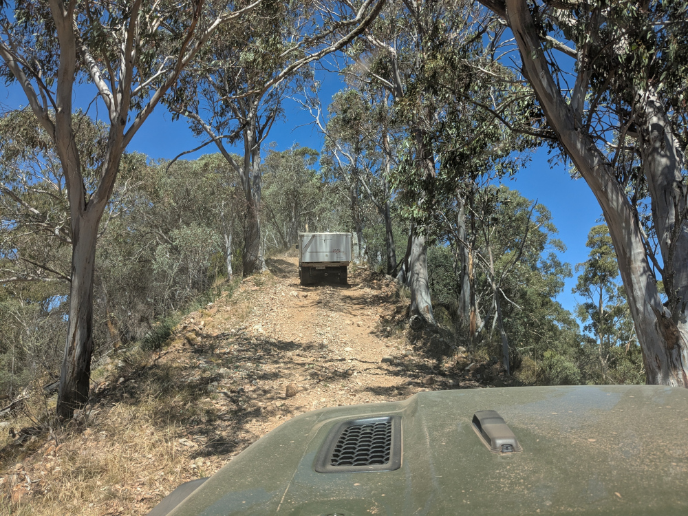
    We left the small town of Whitfield in convoy shortly after 9am and followed various tracks, primarily Burnt Top Track and Black Landing Road, to Craig’s Hut. It was easy, scenic driving for four-wheel-drive enthusiasts.

    In mid morning, we took a break from driving to do the short walk (a few hundred metres) to Paradise Falls:

    The trails in the Victorian High Country are surprisingly well supplied with dunnies. Dunny? That’s what the Aussies call a toilet! This one was near the walking track to Paradise Falls:

    Here’s a taste of Burnt Top Track:

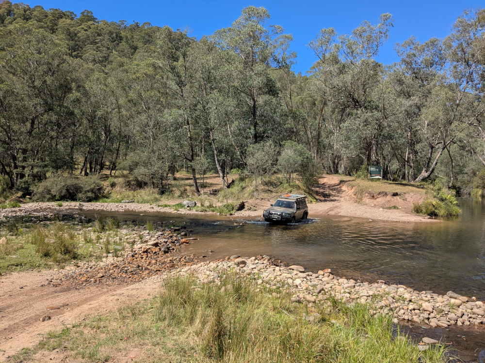
    We crossed the King River at Pineapple Flat. The water level was low and, apart from a slightly tricky entry into the gully that leads into the river, the crossing was easy:

    We reached Craig’s Hut at around 4:30pm.

    Camping

    We camped overnight in the campground near Craig’s Hut. The area was beautiful, tranquil, and, at an elevation of 1,450 metres, cold. The TC, bless her woollen socks, was shivering and shaking in her tent. Inside her sleeping bag, she wore thick socks, leggings, two shirts, two fleece jackets, a large padded jacket, and gloves.

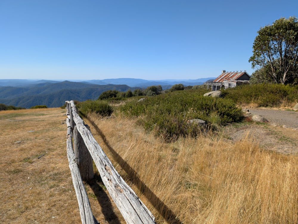
    Let’s finish off with one more photo of Craig’s Hut, taken soon after our arrival in the late afternoon:


  • The Big Koala & The Dog on the Tuckerbox

    In this post: The Big Koala, The Dog on the Tuckerbox, and a fearsome Fairy-wren, all near the New South Wales country town of Gundagai.

    This is the blog of Mark Wordsworm, the travelling worm. I’m a 40-year-old bookmark (give or take a few years) and I proudly boast my own Hallmark serial number, 95 HBM 80-1. You’ll probably want to read all about me and my Travelling Companion (the TC).

    Today’s travel notes

    On our way to the Victorian High Country, me and the TC stopped for a short break in the country town of Gundagai. The town is a popular stopping place on one of the main routes to the border between New South Wales and Victoria.

    Just outside the town, we met a big koala, a dog perched on a tucker box, and a bird that sits still for no-one.

    “What’s a tucker box,” you ask? It’s a lunch box. Nowadays, Australians carry their food around in an esky rather than a tucker box. “Esky?” That’s a cool bag or ice box, named after “eskimo”.

    The book I’m in

    The Phenomenon of Man by Pierre Teilhard de Chardin. Yes, the TC is putting me in some heavy stuff. We’ll see how this turns out.

    Travel tips

    When driving the Australian highways, take a turnoff and see where it leads.

    The photos

    Me and the Big Koala near Gundagai:

    It was, errm, interesting being so close to those claws. Yours truly survived by dint of keeping a low profile. That’s easy to do when you’re two-dimensional. Just turn sideways on.

    There are “big somethings” dotted all around Australia. This worm has already met the Big Bogan at Nyngan and the Kurri Kurri Kookaburra. Now the Big Koala. No doubt the TC, bless her itchy feet, will go in search of more big somethings.

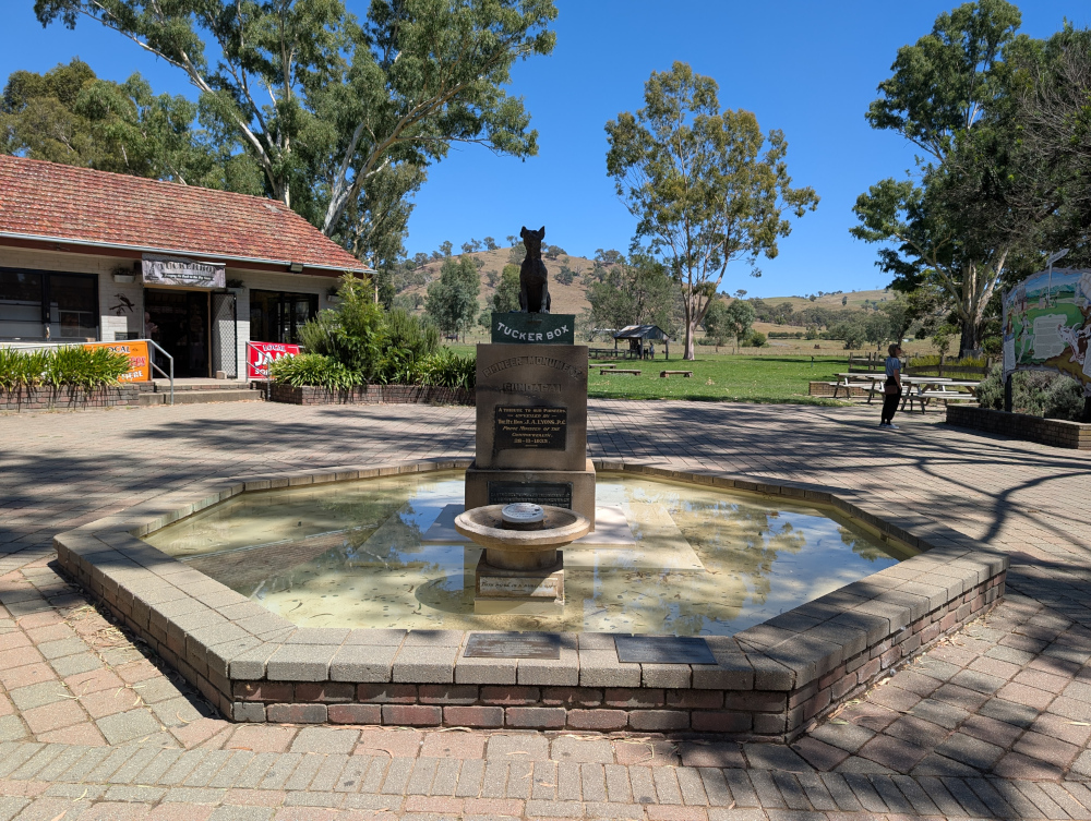
    A few million steps from the Big Koala (a few million, that is, if you’re a small worm like yours truly) is the Dog on the Tuckerbox:

    The plaque below the dog and the tucker box declares the statue to be a tribute to the pioneers of Australia, unveiled in 1932.

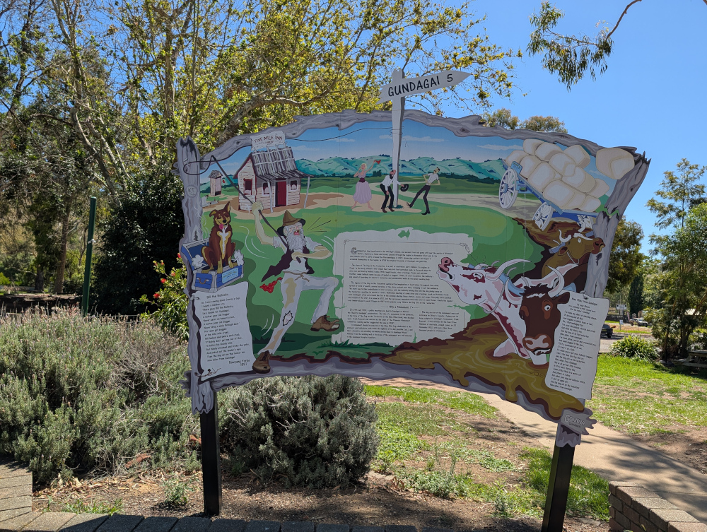
    A rustic sign post tells the story:

    Ironically, as far as I can tell, the dog that features as the hero of this monument was probably based on lyrics by Charlie ‘Bowyang’ Yorke, who wrote a far less clean poem than the two shown on the sign. In Charlie’s story, the dog did a poo on the cattleman’s tucker box.

    I’ve used a more polite word than the original poem, to protect tender ears. You can probably guess the original word: it rhymes with “sat“, which is now used as a replacement in the poem.

    What’s more, the dog chose his moment when the cattleman was battling through the hardest of times: his wagon was bogged, the axle snapped, the team of bullocks stuck, and rain starting. The unfortunate cattleman couldn’t even dry his trousers or boil a pot of tea.

    On to prettier things:

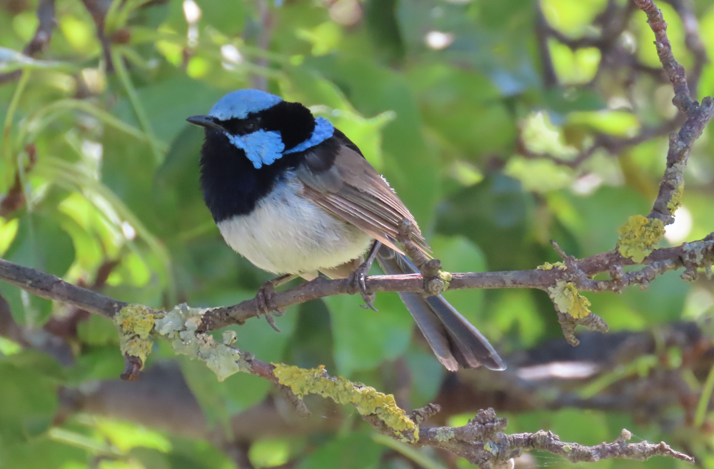
    In using the word “pretty”, yours truly is of course referring to the lichen on the twigs, not to the beady-eyed creature perched above. That’s a baby dinosaur, known to some as a Superb Fairy-wren, and it eats people like me for breakfast. I stayed hidden in my book while the TC ooh-ed and aah-ed over the monster.

    I’ll be back soon with more news about our trip to the Victorian High Country.


  • Billy Goat Bluff Track, VIC

    In this post: Billy Goat Bluff Track near Dargo in Victoria, Australia, plus some lovely country and a river to camp beside.

    This is the blog of Mark Wordsworm, the travelling worm. I’m a 40-year-old bookmark (give or take a few years) and I proudly boast my own Hallmark serial number, 95 HBM 80-1. You’ll probably want to read all about me and my Travelling Companion (the TC).

    Today’s travel notes

    Me and the TC recently spent a week and a half in the Victorian High Country, a landscape of mountains and valleys in the state of Victoria, Australia. On 22 February, we tackled a well-known four-wheel driving track in the area: Billy Goat Bluff Track.

    The book I’m in

    Jericho’s Dead by William Hussey. This is the second in a series about Scott Jericho, an ex police detective and member of a fairground family who seems to attract serial killers and other nasties. Highly recommended.

    Recommended accommodation

    Black Snake Creek campground on the banks of Wonangatta River.

    Travel tips

    Although Billy Goat Bluff track has been graded and is relatively easy driving, many of the tracks in the Dargo area are challenging. Pick your route to and from Billy Goat Bluff with care.

    The photos

    Crawling the tracks is what yours truly does best. So, let’s start with a video of part of Billy Goat Bluff Track, to give you and idea of what it’s like. The track was graded in late 2024. When we were there in February 2025, the driving was easy. But beware the steep drop-offs on both sides!

    The TC, bless her cotton socks, talks about the Billy Goat Gruff track in the video. It’s actually Billy Goat Bluff. Rumour has it that the track got its name because to drive it, you need to be as agile as a goat.

    The track features a steep gradient of 27%, climbing 1,200 metres over a distance of 7 kilometres.

    The TC’s water bottle compressed as if it had been in a jet plane:

    How long does it take? It took us less than two hours to drive the track. We started the track itself at soon after 9am and finished before 11am, with plenty of stops for photographs.

    Here’s our convoy on the infamous ridge. Those edges give little margin for error or for passing an oncoming vehicle:

    All round us, the peaks and valleys of the high country conspired to make us feel like insignificant worms on the face of the universe (oh wait, I am a worm, and decidedly not insignificant!):

    Getting there: On the night before the trail, we camped at Black Snake Creek campground on the banks of the Wonangatta River:

    We left the campground at around 8.30am and followed Wonangatta Road northwards for half an hour or so, winding along the banks of the Wonangatta River until we joined Billy Goat Bluff Track.

    The lovely Kingwill Bridge on Wonangatta Road:

    In case your appetite for Billy Goat Bluff isn’t yet satiated:

    After finishing Billy Goat Bluff, we took a short detour to visit Pinnacles Lookout in the Miowera region:

    There I met my cousin Dilly the Butterfly:

    We then explored some of the tracks around Dargo, which turned out to be much more of an adventure than planned. We helped some folks out of trouble, which meant that we were still on the tracks late at night:

    We found our way safely to Castleburn Creek campground at midnight, rounding off another day of happy travelling.

    Speaking to the locals in Dargo the next day, we heard that many people find themselves in trouble on these tracks. The maps are not up to date, and as a result people don’t know what’s in store for them. Take care out there on the tracks, make sure you’re in a capable vehicle, and travel with some mates to help if you do run into a tricky situation.
    Fediverse Reactions

  • Fitzroy Falls and Meryla, NSW

    In this post: Meryla Flora Reserve, Morton National Park, and the Fitzroy Falls in New South Wales, Australia. Plus wombat poo, plant snot, a cicada husk, a predatory lyrebird, and a somewhat dark ending.

    This is the blog of Mark Wordsworm, the travelling worm. I’m a 40-year-old bookmark (give or take a few years) and I proudly boast my own Hallmark serial number, 95 HBM 80-1. You’ll probably want to read all about me and my Travelling Companion (the TC).

    Today’s travel notes

    Me and the TC set out to explore some 4WD tracks around Meryla. We discovered that all the dirt tracks were closed to vehicles, due to environmental concerns and track repairs. It’s a beautiful area, so we drove around on the sealed roads instead, exploring parts of Meryla Flora Reserve and the Fitzroy Falls in Morton National Park.
    The book I’m in

    Machinehood, by S.B. Divya. This is the second book by this author that the TC has put me in, and I’m enjoying it just as much as I enjoyed the first (Meru). Divya has created an interesting and exciting mix of philosophy and science, resulting in an excellent SciFi story.

    Travel tips

    Take your own picnic, so that you can stop wherever you like to enjoy the scenery and the peace.

    The photos

    Me at Fitzroy Falls:

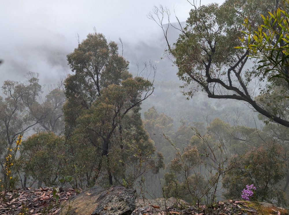
    We started our explorations in Meryla Flora Reserve on one side of Morton National Park. The day was misty, which added to the beauty of the forests and valleys.
    The TC, bless her cotton socks, was taking great care to avoid all the poo on the ground. A closer look through the camera lens revealed that it wasn’t poo:

    Nor was it seaweed. We were far from the coast. No, it’s a type of cyanobacterium (Nostoc commune), fondly known as plant snot. People also call it star jelly, witch’s butter, and mare’s eggs. It’s found world-wide. The part that you see is a sheath made of jelly. The bacteria live inside the sheath, and can form large colonies.

    So that’s what the TC was traipsing through. It’s a good thing she was careful, as plant snot is very slippery when it’s wet, as it was here. In long dry spells, it dries out and waits for rain.

    To her delight, the TC did encounter some actual poo, perched neatly on a rock:

    Poo-bearing rock is a fairly common sight in the Australian bush. Evidently wombats, the makers of these monuments, deposit their offerings on a rock as a mark of territory. He who poos highest has the most influence in terms of spreading scent and being seen.

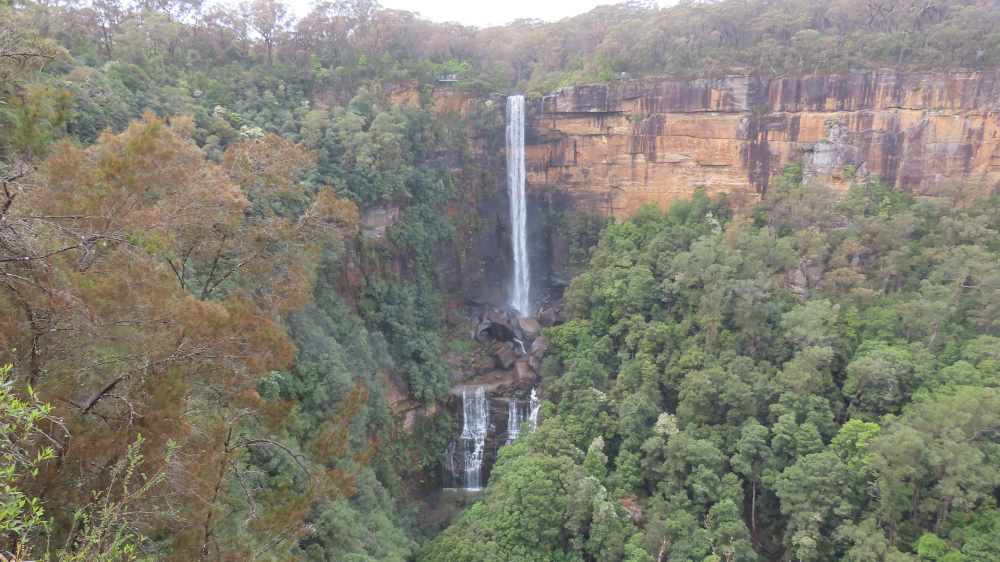
    We left Meryla Flora Reserve and made our way to Fitzroy Falls, on the other side of Morton National Park. The waterfall is 81 metres high, formed by the Yarrunga Creek dropping into Kangaroo Valley. To get an idea of the scale, notice the people on viewing platforms on the left and right of the falls in this picture:

    This is a view of the valley. The falls are off-camera on the left:

    It’s worth walking along the trails on either side of the falls. This lovely old eucalypt, nicknamed The Knobbly Tree, is on the Western Rim Walking Track:

    Of course, the TC insisted on a pic of yours truly cuddling up to the tree, in spite of the scary-looking spider webs that covered the bark:

    Imagine the spider that lives in the hole sunken into that web. I’m sure this would be a case of its bite is worse than its bark.

    A tranquil view of the falls from afar restored my je ne sais quoi:

    Not far away, another peril lurked: a lyrebird scratched through the dirt looking for grubs and chatting to its friend. While the TC ooh-ed and aah-ed, this worm stayed far away from the modern-day dinosaur:

    When in natural surrounds in Australia, it’s always worth looking under the picnic table.

    Here comes the dark ending that I promised at the start of this post. The TC noticed this cicada husk under the picnic table:

    More disturbing, and a caution to an unwary worm, were the pieces of cicada lying on top of the table:

    This worm does hope that the cicada who emerged from the husk had time to enjoy life above ground, and that it was another poor insect who fell prey to a bird.